Lùb na Carra Buidhe
Coastal Marsh, Saltings in Inverness-shire
Scotland
Lùb na Carra Buidhe
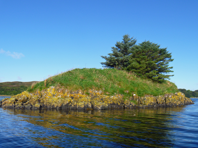
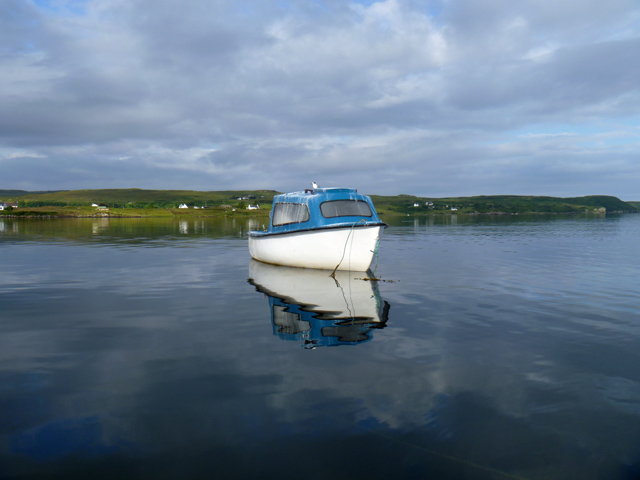
Lùb na Carra Buidhe, located in Inverness-shire, is a coastal marsh and saltings area that offers a unique and diverse ecosystem. Spanning approximately 200 acres, this site is known for its rich biodiversity and stunning natural beauty.
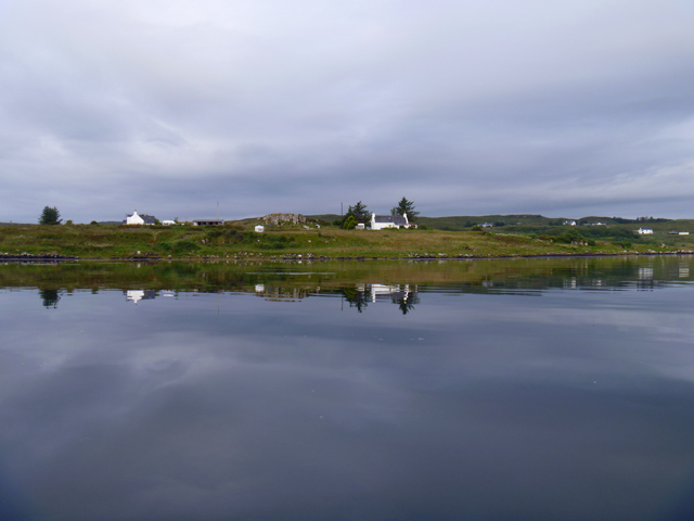
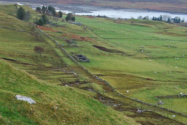
The marsh is situated on the southern shore of the Beauly Firth, a tidal estuary on the east coast of Scotland. It is characterized by its expansive mudflats, salt marshes, and sand dunes, which provide a variety of habitats for numerous plant and animal species.
The vegetation in Lùb na Carra Buidhe is predominantly salt-tolerant, with various species of grasses, sedges, and reeds thriving in the marshy conditions. The area also supports a diverse array of bird species, including waders like redshanks, curlews, and oystercatchers, which feed on the invertebrates found in the mudflats.
The coastal marsh is not only important for wildlife but also serves as a protective barrier against erosion and flooding. Its dynamic nature, influenced by the tides and changing weather patterns, contributes to the formation of new habitats and the preservation of the surrounding coastline.
Lùb na Carra Buidhe is a popular destination for nature enthusiasts and birdwatchers, offering opportunities to observe wildlife in its natural habitat. The area is accessible via footpaths and offers stunning views of the surrounding landscape, including the nearby mountains and the Beauly Firth.
Overall, Lùb na Carra Buidhe is a significant coastal marsh and saltings area in Inverness-shire, providing a vital habitat for a diverse range of plant and animal species, as well as offering natural beauty and recreational opportunities for visitors.
If you have any feedback on the listing, please let us know in the comments section below.
Lùb na Carra Buidhe Images
Images are sourced within 2km of 57.480752/-6.3331158 or Grid Reference NG4051. Thanks to Geograph Open Source API. All images are credited.


Lùb na Carra Buidhe is located at Grid Ref: NG4051 (Lat: 57.480752, Lng: -6.3331158)
Unitary Authority: Highland
Police Authority: Highlands and Islands
What 3 Words
///hems.crank.sweated. Near Portree, Highland
Nearby Locations
Related Wikis

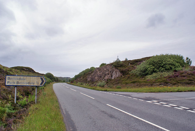
Bernisdale
Bernisdale (Scottish Gaelic: Beàrnasdal) is a small township, near the head of Loch Snizort Beag, Isle of Skye in the Highlands and Islands and is in the...

Dun Cruinn
Dun Cruinn is a prehistoric site about 10 kilometres (6.2 mi) north-west of Portree, on the Isle of Skye, Scotland. It is on the Skerinish Peninsula, between...

Treaslane
Treaslane (Scottish Gaelic: Triaslann) is a small remote scattered crofting hamlet on the Isle of Skye, Scotland. It overlooks the western entrance to...
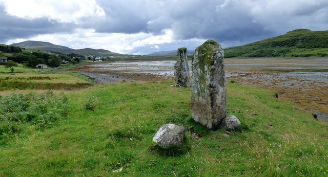
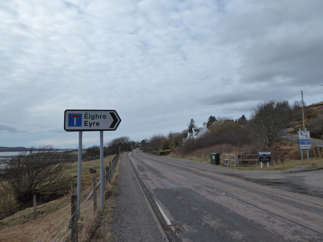
Eyre, Skye
Eyre (Scottish Gaelic: Eighre) is a settlement on the eastern shore of Loch Snizort Beag on the northern coast of Skye in Scotland.The two Eyre standing...
Nearby Amenities
Located within 500m of 57.480752,-6.3331158Have you been to Lùb na Carra Buidhe?
Leave your review of Lùb na Carra Buidhe below (or comments, questions and feedback).