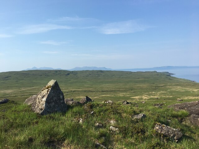
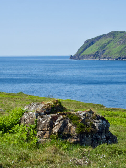
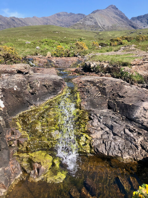
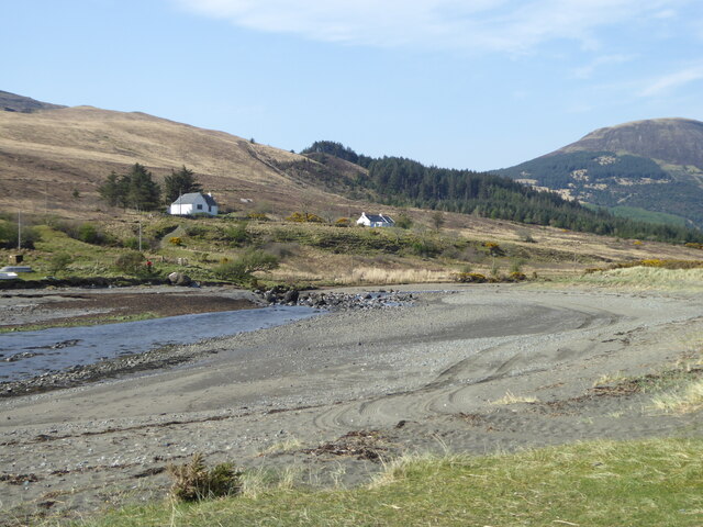
Mussel Scalp

Coastal Marsh, Saltings in Inverness-shire

Scotland

Mussel Scalp

View towards the coast from the Coir’ a’ Ghrunnda path
View towards the coast from the Coir’ a’ Ghrunnda path Credit: Steven Brown

The requested URL returned error: 429 Too Many Requests

If you have any feedback on the listing, please let us know in the comments section below.
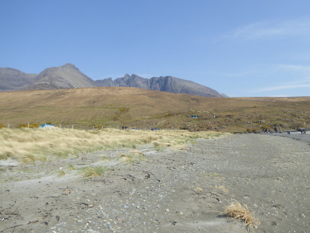
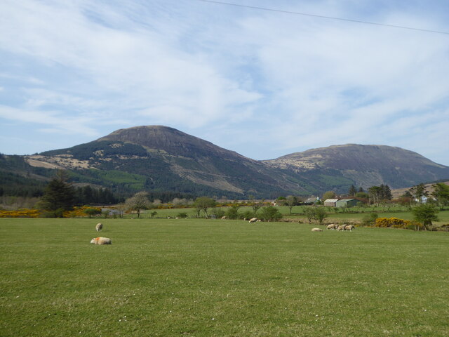
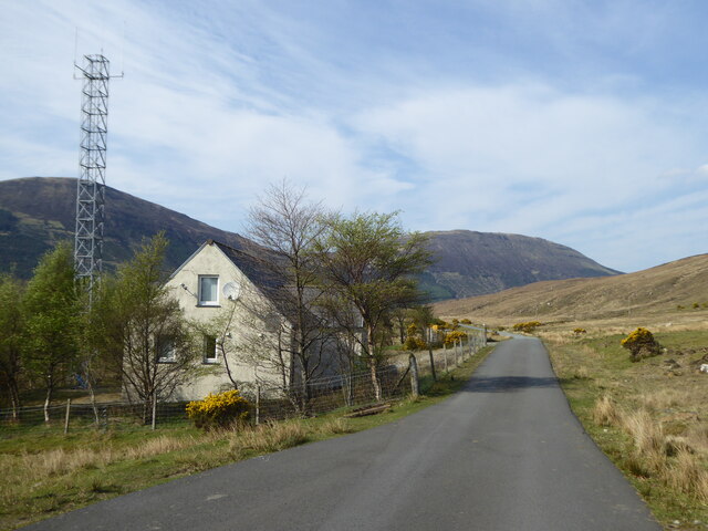
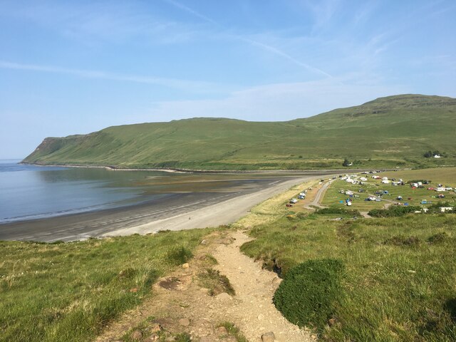
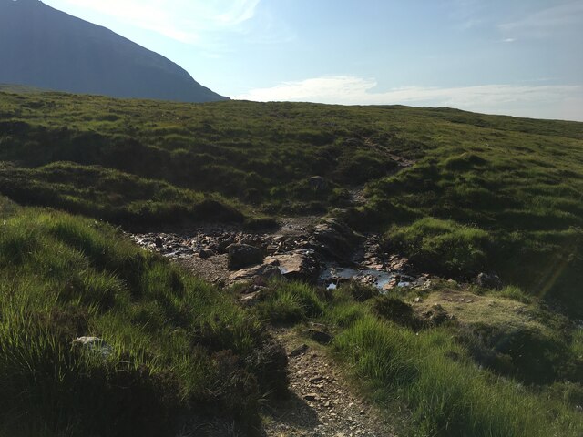
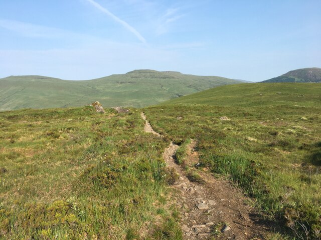
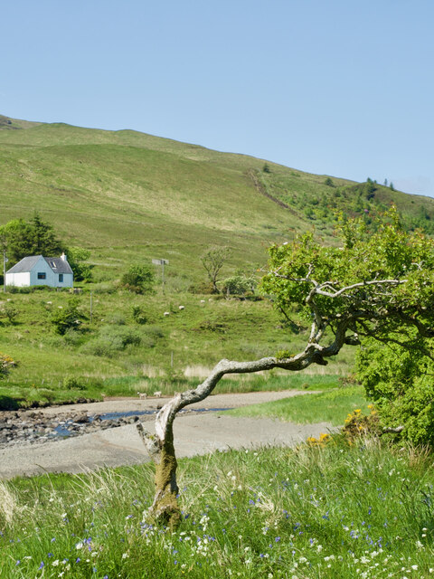
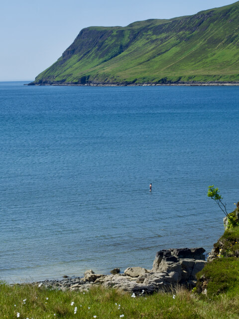
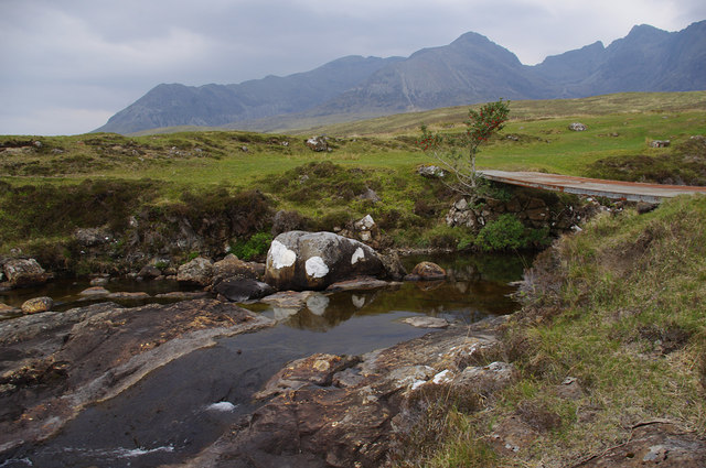
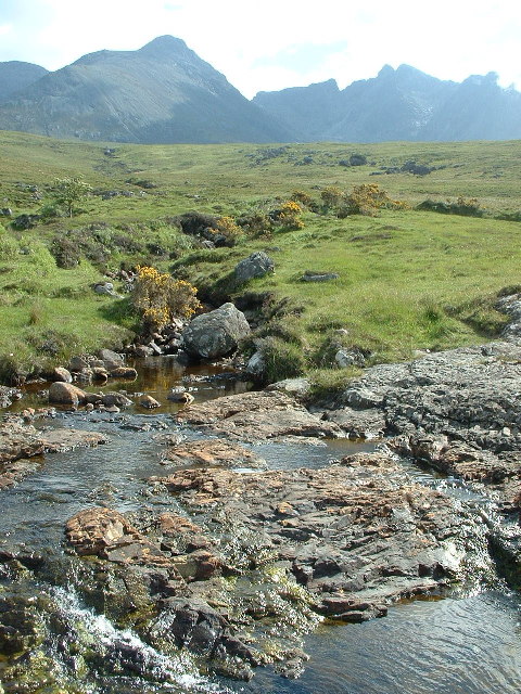
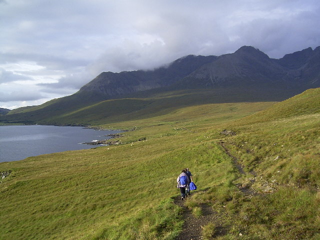
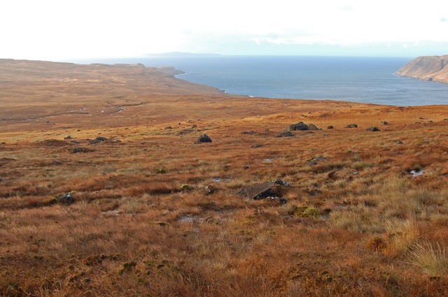
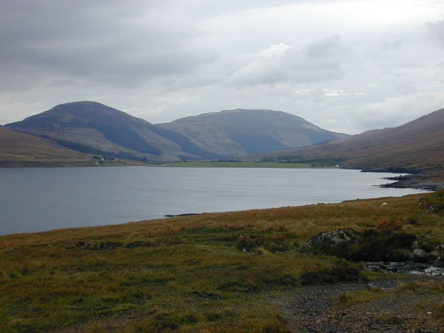
Mussel Scalp Images

Images are sourced within 2km of 57.20026/-6.2903388 or Grid Reference NG4020. Thanks to Geograph Open Source API. All images are credited.

View towards the coast from the Coir’ a’ Ghrunnda path
Loch Brittle coastline
A Vegetated Boulder Overlooking Loch Brittle
Nature's Teardrop Loch an Fhir-bhallaich weeps as the parched weeks drain its normally mighty stream, revealing a hauntingly colourful landscape against the majestic Cuillin Ridge.
Nature's Teardrop
Loch an Fhir-bhallaich weeps as the parched weeks drain its normally mighty stream, revealing a hauntingly colourful landscape against the majestic Cuillin Ridge.
The mouth of the River Brittle
The eastern end of the beach at the head of Loch Brittle
Sheep grazing in Glen Brittle
Skye Mountain Rescue base in Glen Brittle
Path descending towards Glenbrittle Campsite
Path towards Coir a’ Ghrunnda
Path towards Glenbrittle
The Stoic Stunted Tree by the Flowing River
A brazen swimmer, unfazed by the tempestuous Loch Brittle, walks in the shallows
Bridge over Allt Coire Lagan A slab bridge, downstream of the confluence of the Allt Coire Lagan and Allt na Buaile Duibhe. The Cuillin, including Coire Lagan, is in the background.
The holly tree still has berries.
Bridge over Allt Coire Lagan
A slab bridge, downstream of the confluence of the Allt Coire Lagan and Allt na Buaile Duibhe. The Cuillin, including Coire Lagan, is in the background. The holly tree still has berries.
towards the Cuillin Hills from the path above Loch Brittle
Loch Brittle and The Cuillin from the path to Rubh'an Dunain Looking NE towards the Cuillin on the path from Rubh'an Dunain to Glen Brittle.
Loch Brittle and The Cuillin from the path to Rubh'an Dunain
Looking NE towards the Cuillin on the path from Rubh'an Dunain to Glen Brittle.
Moorland east of Loch Brittle A view of most of the square from its north east corner. The water beyond is Loch Brittle, with Rubh' an Dunain on the left.
Moorland east of Loch Brittle
A view of most of the square from its north east corner. The water beyond is Loch Brittle, with Rubh' an Dunain on the left.
Loch Brittle Looking up the east shore of the loch.
Loch Brittle
Looking up the east shore of the loch.
Show me another place!

Mussel Scalp is located at Grid Ref: NG4020 (Lat: 57.20026, Lng: -6.2903388)

Unitary Authority: Highland

Police Authority: Highlands and Islands

What 3 Words

///native.fonts.sculpting. Near Carbost, Highland

Nearby Locations

Mussel Scalp Bualintur

Related Wikis

Bualintur

Bualintur (Scottish Gaelic: Buaile an Todhair) is a remote township, which lies at the head of Loch Brittle on the island of Skye in the Highlands of...

Loch Brittle

Loch Brittle is a sea loch on the southwest coast of Skye in Scotland. A sandy beach separates Glen Brittle from Loch Brittle. The land to the sides of...

Eas Mòr, Glen Brittle

Eas Mòr is a waterfall in Glen Brittle on the island of Skye in Scotland. It lies on the Allt Coire na Bannachdich in a small gorge east of Glenbrittle...

Glen Brittle

Glen Brittle (Gleann Breadail in Scottish Gaelic) is a large glen in the south of the Isle of Skye, in Scotland. It runs roughly south to north, along...

Nearby Amenities

Located within 500m of 57.20026,-6.2903388
Source: PGS
Lat/Long: 57.1997248/-6.2983822
Source: PGS
Lat/Long: 57.1999573/-6.2973737
Source: PGS
Lat/Long: 57.2004164/-6.2959575
Source: PGS
Lat/Long: 57.2030491/-6.293404
Source: PGS
Lat/Long: 57.203475/-6.2934694
Created By: dmgroom_coastlines
Source: PGS
Lat/Long: 57.20378/-6.29365
Created By: dmgroom_coastlines
Source: PGS
Lat/Long: 57.20441/-6.29337
Created By: dmgroom_coastlines
Source: PGS
Lat/Long: 57.20428/-6.29315
Source: PGS
Lat/Long: 57.2036651/-6.2929105
Source: PGS
Lat/Long: 57.202712/-6.2925565
Source: PGS
Lat/Long: 57.2025028/-6.2923955
Source: PGS
Lat/Long: 57.2020923/-6.2920375
Source: PGS
Lat/Long: 57.2009801/-6.2890696
Source: PGS
Lat/Long: 57.2006779/-6.2874388
Source: PGS
Lat/Long: 57.1976092/-6.2842416
Ford: yes
Lat/Long: 57.2018409/-6.2841031
Bus Stop
Campsite
Local Ref: AT
Naptan AtcoCode: 6700712718
Naptan Bearing: N
Naptan CommonName: Campsite
Naptan Indicator: at
Naptan Landmark: Campsite
Naptan NaptanCode: 45328258
Naptan Street: Glenbrittle Road
Naptan Verified: no
Source: naptan_import
Lat/Long: 57.2044397/-6.2925104
Ford: yes
Lat/Long: 57.2017016/-6.2842716
Culnamean
Name Gd: Cùl nam Beann
Place: isolated_dwelling
Lat/Long: 57.2026856/-6.2847443
Barrier: cattle_grid
Source: survey
Lat/Long: 57.2028276/-6.2912221
Turning Circle
Lat/Long: 57.2026615/-6.2859095
Drinking Water
Lat/Long: 57.2018217/-6.2862018
Turning Circle
Lat/Long: 57.2017933/-6.28619
Source: PGS
Lat/Long: 57.200521/-6.2955069
Source: PGS
Lat/Long: 57.2003804/-6.2949226
Source: PGS
Lat/Long: 57.2002653/-6.2963974
Source: PGS
Lat/Long: 57.2000876/-6.2861674
Source: PGS
Lat/Long: 57.1998178/-6.2852394
Source: PGS
Lat/Long: 57.1994632/-6.2844669
Source: PGS
Lat/Long: 57.1984513/-6.2838051
Source: PGS
Lat/Long: 57.19793/-6.2837
Source: PGS
Lat/Long: 57.2036651/-6.2929105
Source: PGS
Lat/Long: 57.20428/-6.29315
Source: PGS
Lat/Long: 57.20428/-6.29315
Source: PGS
Lat/Long: 57.20441/-6.29337
Source: PGS
Lat/Long: 57.199898/-6.2934205
Source: PGS
Lat/Long: 57.2030491/-6.293404
Source: PGS
Lat/Long: 57.203475/-6.2934694
Source: PGS
Lat/Long: 57.20378/-6.29365
Source: PGS
Lat/Long: 57.202712/-6.2925565
Source: PGS
Lat/Long: 57.2025028/-6.2923955
Source: PGS
Lat/Long: 57.2020923/-6.2920375
Source: PGS
Lat/Long: 57.2009801/-6.2890696
Source: PGS
Lat/Long: 57.2003978/-6.290159
Source: PGS
Lat/Long: 57.2001534/-6.2912101
Source: PGS
Lat/Long: 57.1998631/-6.2922404
Ford: yes
Lat/Long: 57.201976/-6.2835007
Shower
Lat/Long: 57.2017862/-6.2847171
Power: pole
Lat/Long: 57.2025567/-6.2845182
The data included in this document is from www.openstreetmap.org. The data is made available under ODbL.

Have you been to Mussel Scalp?

Leave your review of Mussel Scalp below (or comments, questions and feedback).