Lower Hatton
Settlement in Staffordshire Stafford
England
Lower Hatton

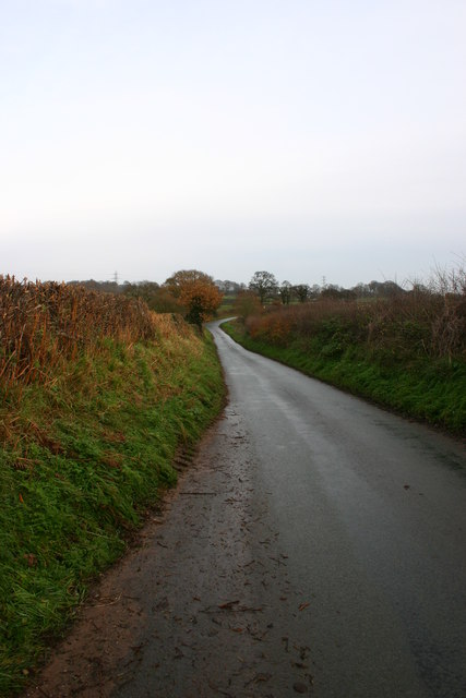
Lower Hatton is a small village located in the county of Staffordshire, England. Situated in the West Midlands region, it lies approximately 6 miles east of the county town of Stafford. The village is nestled in a picturesque rural setting, surrounded by rolling hills and farmland.
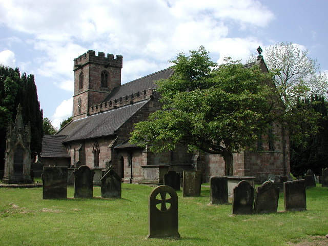
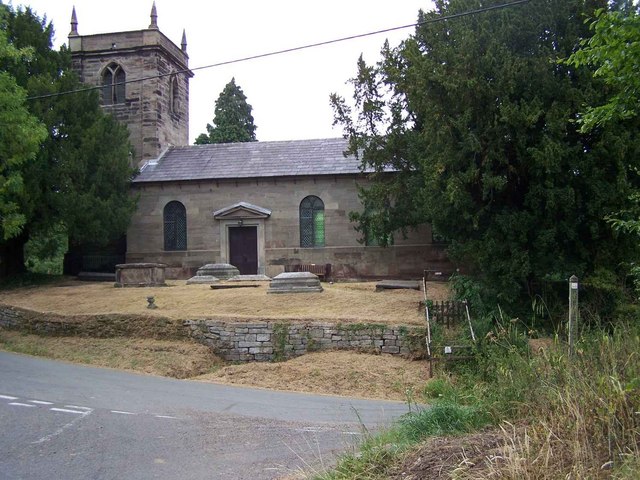
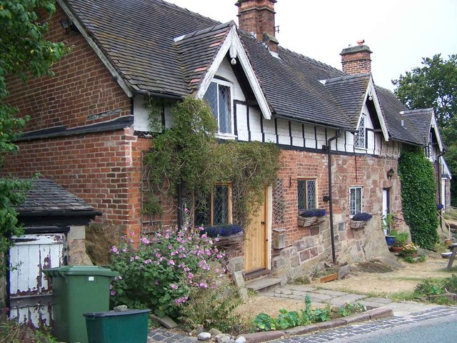
Lower Hatton is known for its charming, traditional cottages and historic buildings, which give the village a distinct character. The local architecture reflects the area's rich heritage, with many properties dating back to the 18th and 19th centuries.
The village is home to a close-knit community, with a population of around 500 residents. It offers a peaceful and tranquil environment, perfect for those seeking a slower pace of life away from the hustle and bustle of larger towns and cities.
Despite its small size, Lower Hatton benefits from a range of amenities to cater to the needs of its residents. These include a village hall, a primary school, a post office, and a local pub. There are also several recreational spaces, such as parks and green areas, which provide opportunities for outdoor activities and leisure.
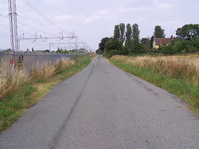
Lower Hatton is well-connected to neighboring towns and cities. The A518 road passes through the village, providing easy access to Stafford and other nearby locations. Public transportation options are limited, but regular bus services operate, linking the village to surrounding areas.
Overall, Lower Hatton offers a serene and idyllic rural retreat, characterized by its historic architecture, strong community spirit, and beautiful natural surroundings.
If you have any feedback on the listing, please let us know in the comments section below.
Lower Hatton Images
Images are sourced within 2km of 52.92111/-2.2691653 or Grid Reference SJ8236. Thanks to Geograph Open Source API. All images are credited.


Lower Hatton is located at Grid Ref: SJ8236 (Lat: 52.92111, Lng: -2.2691653)
Administrative County: Staffordshire
District: Stafford
Police Authority: Staffordshire
What 3 Words
///drones.loosed.brilliant. Near Standon, Staffordshire
Nearby Locations
Related Wikis

Standon Bridge railway station
Standon Bridge railway station was a railway station in Standon, approximately 4 miles (6.4 km) west of Stone, Staffordshire. The station closed on 4 February...

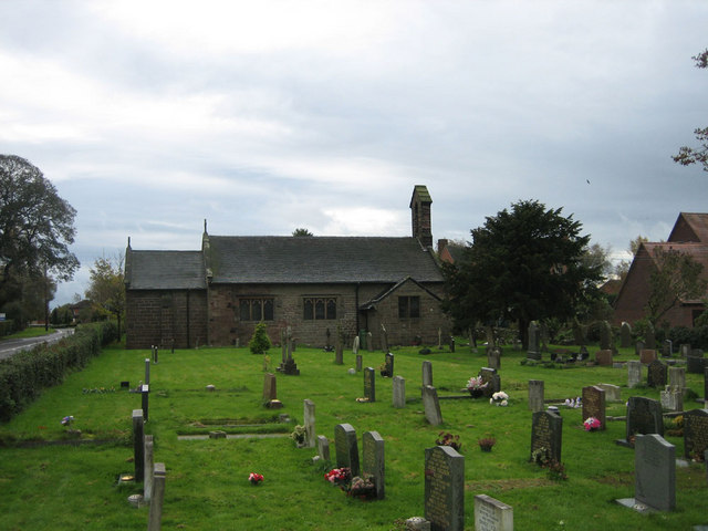
Standon, Staffordshire
Standon is a village and civil parish in the Stafford district, in the county of Staffordshire, England. Standon has a church called Church of All Saints...
Bowers, Staffordshire
Bowers is a village in Staffordshire, England. For population details as taken in the 2011 census see Standon.
Coombesdale
Coombesdale is a small settlement in Staffordshire, England. It is near the A51 road and is 6 kilometres (4 mi) southwest of the city of Stoke-on-Trent...

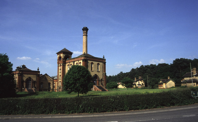
Mill Meece Pumping Station
Mill Meece Pumping Station is a pumping station, located in the village of Mill Meece in Staffordshire, England. Its function, powered by steam engines...

Swynnerton Hall
Swynnerton Hall is an 18th-century country mansion house, the home of Lord Stafford, situated at Swynnerton near Stone, Staffordshire. It is a Grade I...
Beechcliff
Beechcliff is a village in Staffordshire, England. For population details at the 2011 census see Swynnerton

Swynnerton
Swynnerton is a village and civil parish in Staffordshire, England. It lies in the Borough of Stafford, and at the 2001 census had a population of 4,233...
Nearby Amenities
Located within 500m of 52.92111,-2.2691653Have you been to Lower Hatton?
Leave your review of Lower Hatton below (or comments, questions and feedback).