Hatton, Lower
Settlement in Staffordshire Stafford
England
Hatton, Lower

Hatton, Lower is a small village located in the county of Staffordshire, England. Situated approximately 10 miles northeast of the city of Stafford, Hatton is nestled in the picturesque countryside of the West Midlands region. The village falls within the Staffordshire Moorlands district and has a population of around 1,200 people.
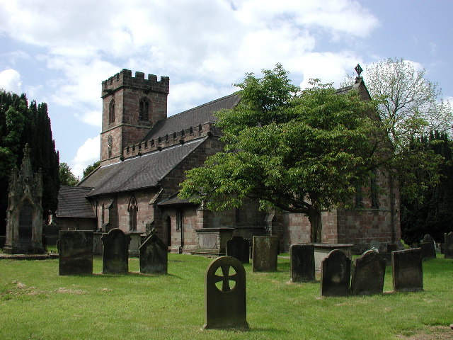
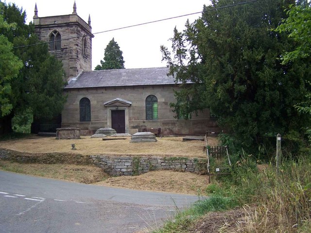
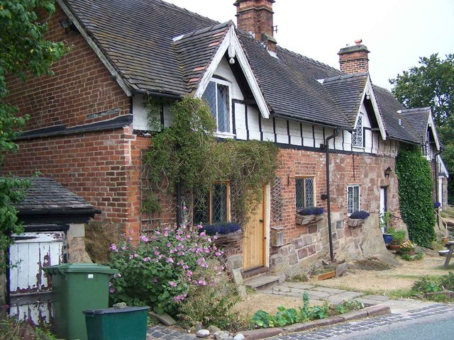
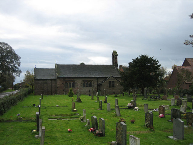
Hatton boasts a rich history, with evidence of human habitation in the area dating back to the Bronze Age. The village is known for its charming, traditional architecture, with many of its buildings constructed from local stone. The centerpiece of Hatton is its parish church, St. Peter's Church, which dates back to the 13th century and features a beautiful Norman tower.
Despite its small size, Hatton offers a range of amenities to its residents and visitors. The village has a primary school, a community hall, and a local pub, which serves as a hub for social gatherings. The surrounding countryside provides ample opportunities for outdoor activities, such as walking, cycling, and horseback riding.
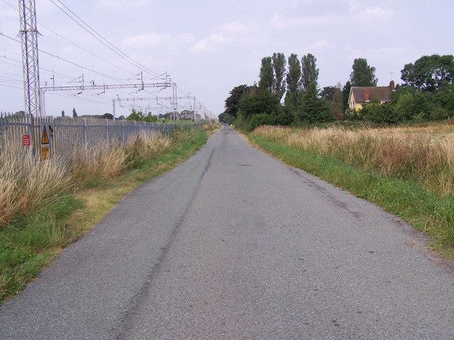
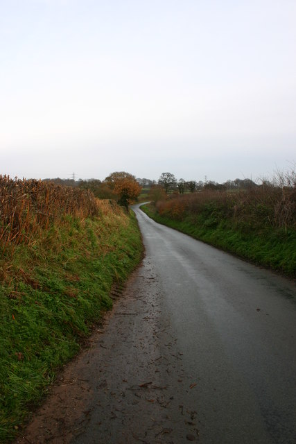
Hatton is well-connected to the broader region, with easy access to major road networks. The nearby A518 road provides links to Stafford and the M6 motorway, making it convenient for commuters and visitors to explore the surrounding areas.
In summary, Hatton, Lower is a peaceful and picturesque village in Staffordshire, England. Its rich history, traditional architecture, and close-knit community make it an attractive place to live or visit.
If you have any feedback on the listing, please let us know in the comments section below.
Hatton, Lower Images
Images are sourced within 2km of 52.92111/-2.2691653 or Grid Reference SJ8236. Thanks to Geograph Open Source API. All images are credited.


Hatton, Lower is located at Grid Ref: SJ8236 (Lat: 52.92111, Lng: -2.2691653)
Administrative County: Staffordshire
District: Stafford
Police Authority: Staffordshire
What 3 Words
///drones.loosed.brilliant. Near Standon, Staffordshire
Nearby Locations
Related Wikis

Standon Bridge railway station
Standon Bridge railway station was a railway station in Standon, approximately 4 miles (6.4 km) west of Stone, Staffordshire. The station closed on 4 February...

Standon, Staffordshire
Standon is a village and civil parish in the Stafford district, in the county of Staffordshire, England. Standon has a church called Church of All Saints...
Bowers, Staffordshire
Bowers is a village in Staffordshire, England. For population details as taken in the 2011 census see Standon.
Coombesdale
Coombesdale is a small settlement in Staffordshire, England. It is near the A51 road and is 6 kilometres (4 mi) southwest of the city of Stoke-on-Trent...

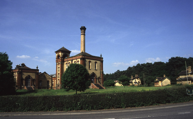
Mill Meece Pumping Station
Mill Meece Pumping Station is a pumping station, located in the village of Mill Meece in Staffordshire, England. Its function, powered by steam engines...

Swynnerton Hall
Swynnerton Hall is an 18th-century country mansion house, the home of Lord Stafford, situated at Swynnerton near Stone, Staffordshire. It is a Grade I...
Beechcliff
Beechcliff is a village in Staffordshire, England. For population details at the 2011 census see Swynnerton

Swynnerton
Swynnerton is a village and civil parish in Staffordshire, England. It lies in the Borough of Stafford, and at the 2001 census had a population of 4,233...
Nearby Amenities
Located within 500m of 52.92111,-2.2691653Have you been to Hatton, Lower?
Leave your review of Hatton, Lower below (or comments, questions and feedback).