Cranberry
Settlement in Staffordshire Stafford
England
Cranberry

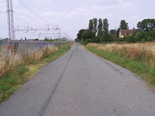
Cranberry is a small village located in Staffordshire, England. It is situated about 10 miles northeast of the county town of Stafford, and has a population of around 500 residents. The village is surrounded by picturesque countryside, with rolling hills and meandering streams, providing a tranquil setting for its inhabitants.
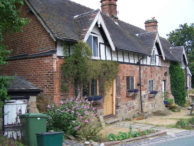
Cranberry has a rich history, dating back to medieval times. It is believed that the village was initially established as a farming community, and evidence of its agricultural roots can still be seen today with several working farms in the area. The village also boasts a number of traditional, well-preserved cottages and buildings, showcasing its historical charm.
Despite its small size, Cranberry offers a range of amenities for its residents. There is a local primary school, providing education for children in the village and the surrounding areas. The village also has a community center, which hosts various events and activities throughout the year, fostering a strong sense of community spirit.
For those seeking outdoor recreation, Cranberry is in close proximity to several nature reserves and parks, offering opportunities for walking, cycling, and wildlife spotting. Additionally, the village is well-connected to nearby towns and cities, with easy access to major road networks, making it a convenient location for commuters.
Overall, Cranberry is a quaint and peaceful village, offering a high quality of life for its residents, with its beautiful surroundings, historical charm, and range of amenities.
If you have any feedback on the listing, please let us know in the comments section below.
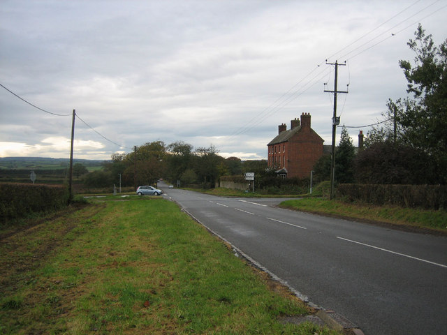
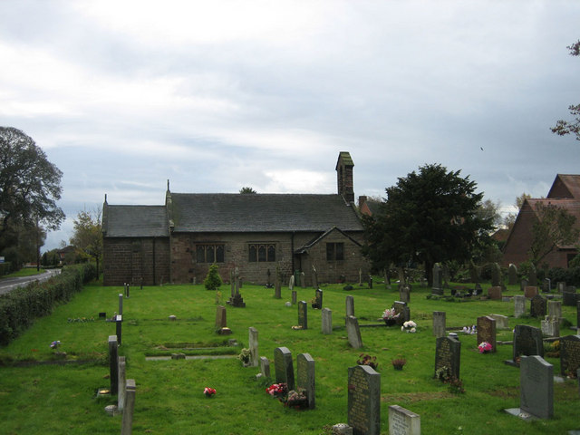
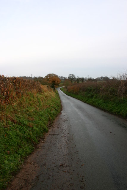
Cranberry Images
Images are sourced within 2km of 52.922459/-2.260264 or Grid Reference SJ8236. Thanks to Geograph Open Source API. All images are credited.


Cranberry is located at Grid Ref: SJ8236 (Lat: 52.922459, Lng: -2.260264)
Administrative County: Staffordshire
District: Stafford
Police Authority: Staffordshire
What 3 Words
///trailing.perfected.spouse. Near Standon, Staffordshire
Nearby Locations
Related Wikis

Standon Bridge railway station
Standon Bridge railway station was a railway station in Standon, approximately 4 miles (6.4 km) west of Stone, Staffordshire. The station closed on 4 February...

Standon, Staffordshire
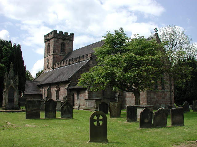
Standon is a village and civil parish in the Stafford district, in the county of Staffordshire, England. Standon has a church called Church of All Saints...
Bowers, Staffordshire
Bowers is a village in Staffordshire, England. For population details as taken in the 2011 census see Standon.
Coombesdale
Coombesdale is a small settlement in Staffordshire, England. It is near the A51 road and is 6 kilometres (4 mi) southwest of the city of Stoke-on-Trent...

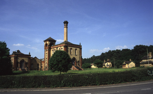
Mill Meece Pumping Station
Mill Meece Pumping Station is a pumping station, located in the village of Mill Meece in Staffordshire, England. Its function, powered by steam engines...

Swynnerton Hall
Swynnerton Hall is an 18th-century country mansion house, the home of Lord Stafford, situated at Swynnerton near Stone, Staffordshire. It is a Grade I...
Beechcliff
Beechcliff is a village in Staffordshire, England. For population details at the 2011 census see Swynnerton

Swynnerton
Swynnerton is a village and civil parish in Staffordshire, England. It lies in the Borough of Stafford, and at the 2001 census had a population of 4,233...
Nearby Amenities
Located within 500m of 52.922459,-2.260264Have you been to Cranberry?
Leave your review of Cranberry below (or comments, questions and feedback).