Hundale Scar
Coastal Feature, Headland, Point in Yorkshire Scarborough
England
Hundale Scar

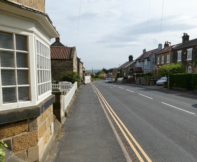
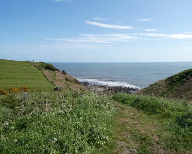
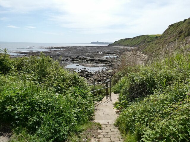
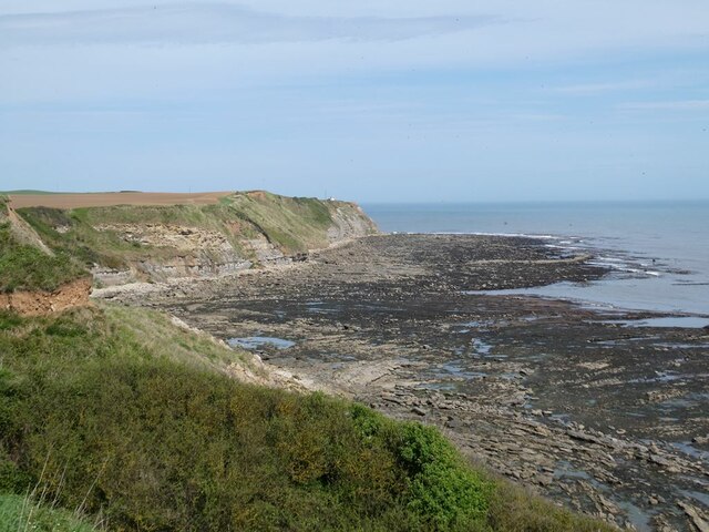
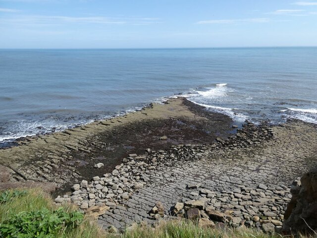
Hundale Scar is a prominent coastal feature located in Yorkshire, England. It is a headland that juts out into the North Sea, forming a distinctive point along the Yorkshire coastline. The scar is situated near the village of Robin Hood's Bay, approximately 8 miles south of Whitby.
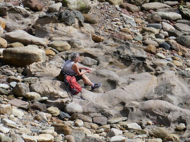
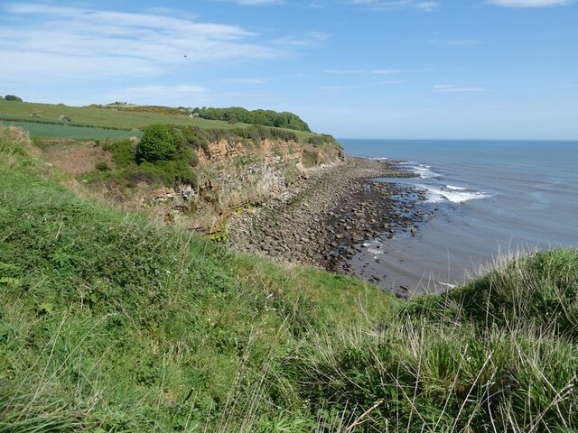
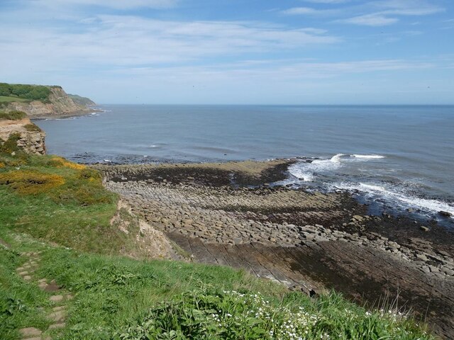
Hundale Scar is characterized by its rugged and steep cliffs, which rise dramatically from the sea. These cliffs are composed of various sedimentary rocks, including shale and sandstone, which have been sculpted over time by the relentless action of the waves. The scar's elevation provides stunning panoramic views of the surrounding coastline and the vast expanse of the North Sea.
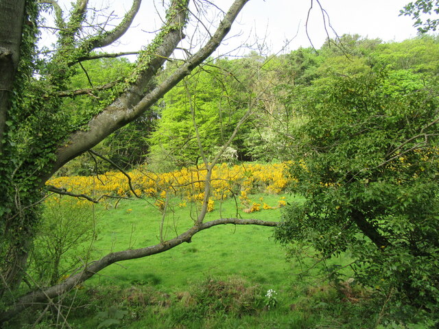
The headland is also known for its rich biodiversity. The cliffs and surrounding areas are home to a wide variety of plant and animal species, including seabirds such as gulls, puffins, and kittiwakes. The adjacent waters are frequented by seals, dolphins, and even occasional sightings of whales.
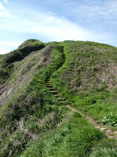
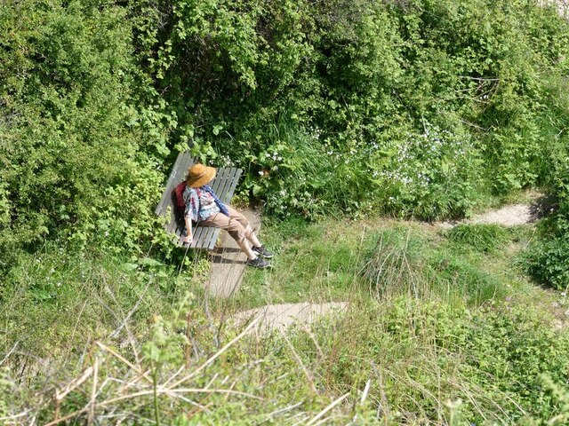
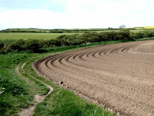
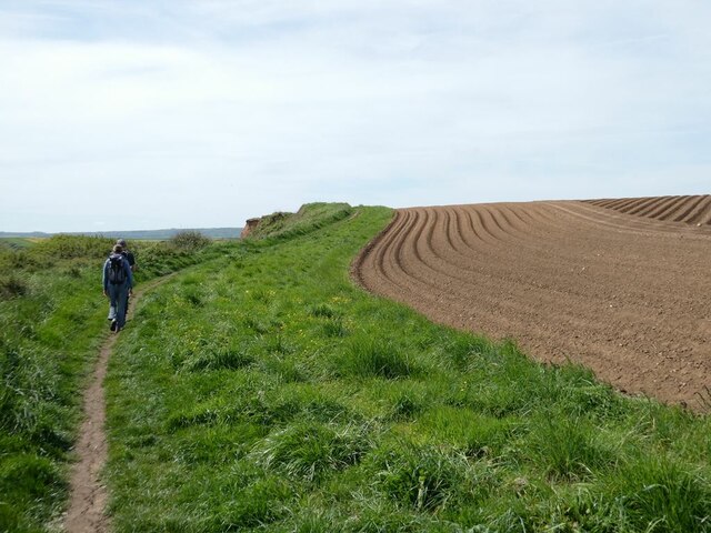
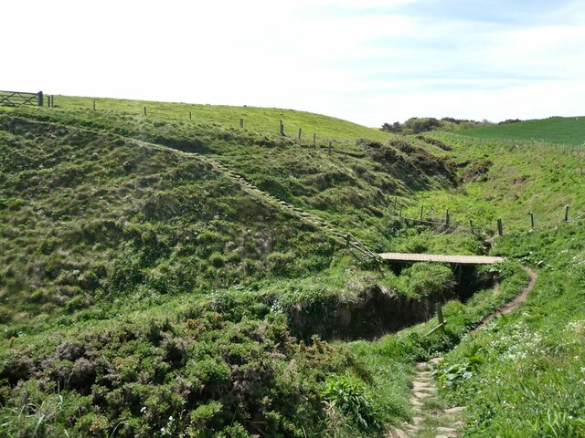
Hundale Scar is a popular destination for outdoor enthusiasts and nature lovers. It offers opportunities for hiking and birdwatching, with several walking trails that lead along the cliffs and through the nearby countryside. The scar is also a popular spot for photographers, who are drawn to its dramatic coastal scenery and breathtaking sunsets.
Overall, Hundale Scar is a remarkable coastal feature that showcases the beauty and diversity of Yorkshire's coastline. Its towering cliffs, abundant wildlife, and stunning views make it a must-visit destination for those exploring the region.
If you have any feedback on the listing, please let us know in the comments section below.
Hundale Scar Images
Images are sourced within 2km of 54.339879/-0.42429917 or Grid Reference TA0294. Thanks to Geograph Open Source API. All images are credited.


Hundale Scar is located at Grid Ref: TA0294 (Lat: 54.339879, Lng: -0.42429917)
Division: North Riding
Administrative County: North Yorkshire
District: Scarborough
Police Authority: North Yorkshire
What 3 Words
///whirlpool.fingertip.acting. Near Burniston, North Yorkshire
Nearby Locations
Related Wikis

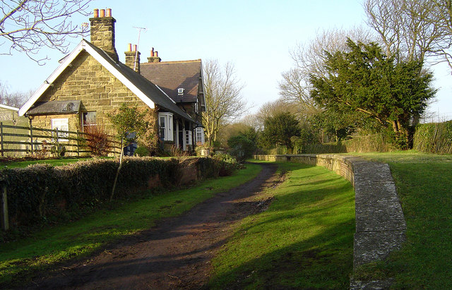
Cloughton railway station
Cloughton railway station was a railway station on the Scarborough & Whitby Railway. It opened on 16 July 1885, and served the North Yorkshire village...

Cloughton
Cloughton (pronounced Clow-tun) is a small village and civil parish in the Scarborough district of North Yorkshire, England. == Description == It is situated...

Burniston
Burniston is a village and civil parish in the Scarborough borough of North Yorkshire, England. It is situated about four miles north of Scarborough itself...

Hayburn Wyke railway station
Hayburn Wyke railway station was a railway station on the Scarborough & Whitby Railway, 7 miles from Scarborough. It opened on 16 July 1885, and served...
Staintondale railway station
Staintondale railway station, also known as Stainton Dale railway station, was 8 miles (13 km) north of Scarborough and served the hamlet of Staintondale...

Crowdon
Crowdon is a village in the Scarborough district of North Yorkshire, England. == References == The geographic coordinates are from the Ordnance Survey...

Scalby Manor, Scarborough
Scalby Manor near Scarborough, North Yorkshire was built in 1885 by Edwin Brough. He was the leading breeder and trainer in England of bloodhounds at his...
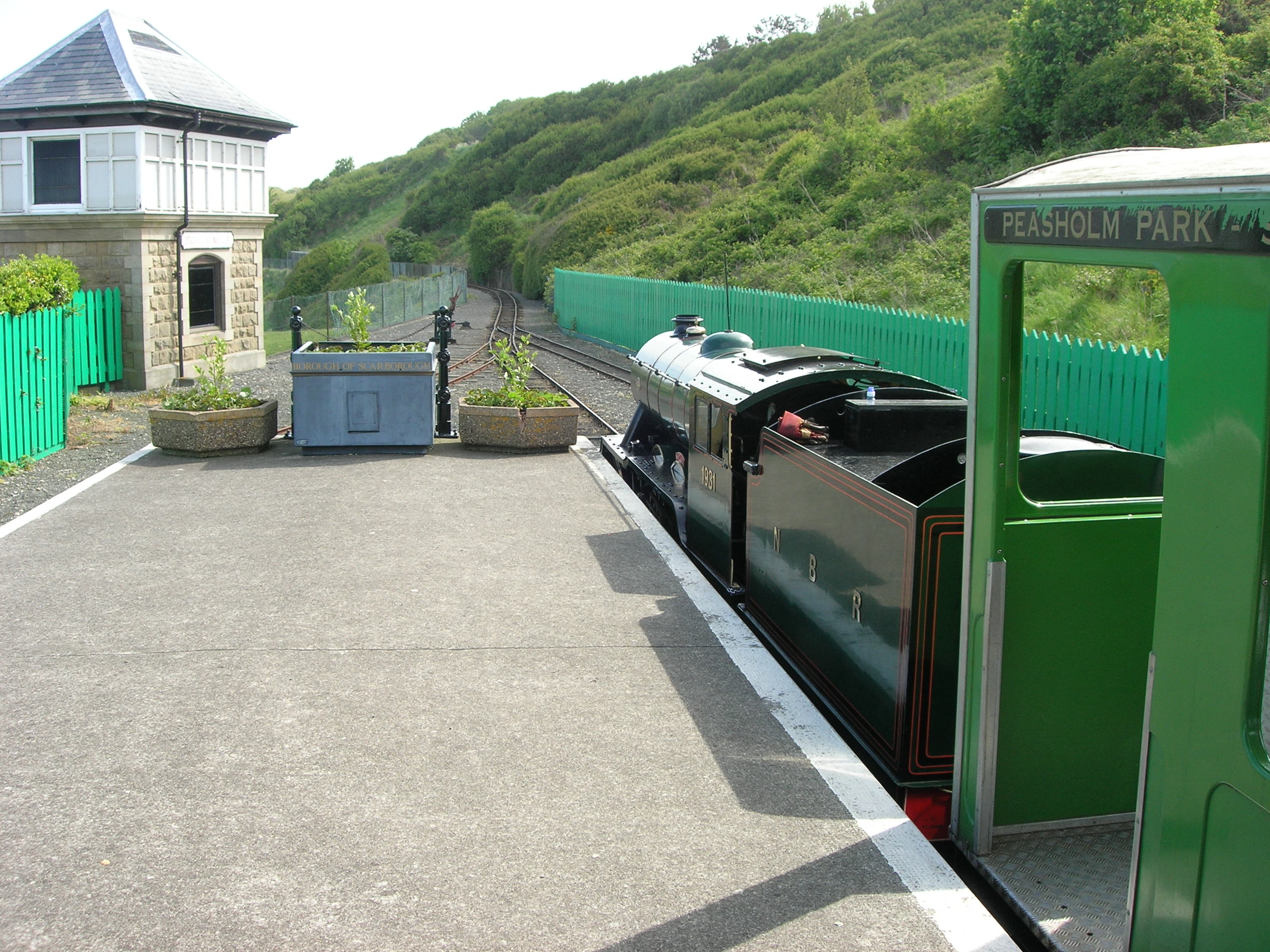
Scalby Mills railway station
Scalby Mills railway station is the northern terminus of the North Bay Railway in Scarborough, North Yorkshire, England. It opened to the public in 1931...
Nearby Amenities
Located within 500m of 54.339879,-0.42429917Have you been to Hundale Scar?
Leave your review of Hundale Scar below (or comments, questions and feedback).