Long Nab
Cliff, Slope in Yorkshire Scarborough
England
Long Nab

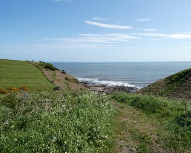
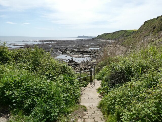
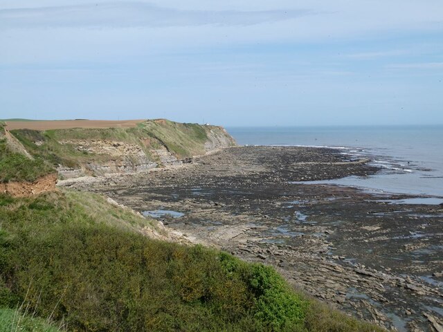
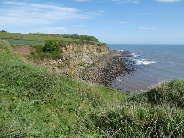
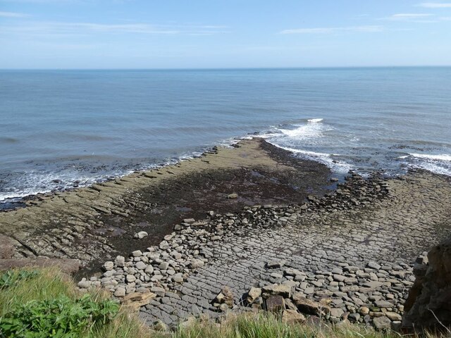
Long Nab is a prominent coastal feature located in the county of Yorkshire, England. Situated on the eastern coast, it is part of the Flamborough Headland Heritage Coast, known for its dramatic cliffs and stunning natural beauty. Long Nab consists of a long stretch of rugged cliff and slope, offering breathtaking views of the North Sea.
The cliffs at Long Nab are composed primarily of chalk, which gives them their distinctive white appearance. Rising to a height of approximately 100 feet, these cliffs provide a striking backdrop against the deep blue of the sea below. The slope leading down from the cliffs is covered in a lush carpet of grass and wildflowers, creating a picturesque scene.
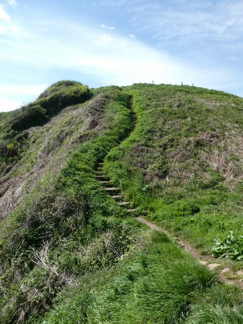
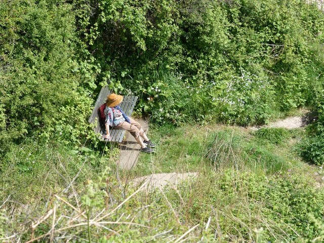
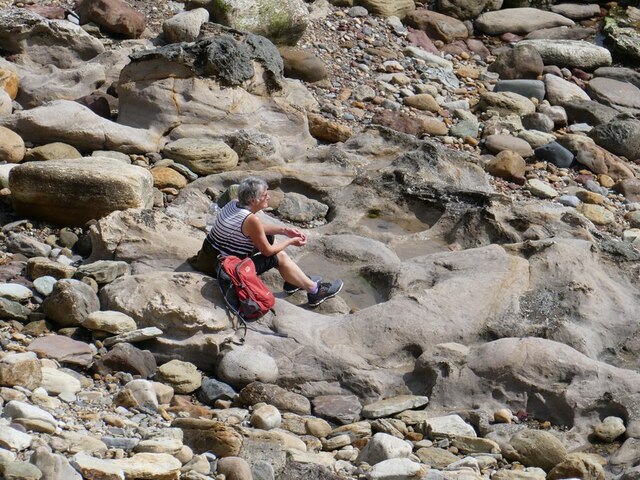
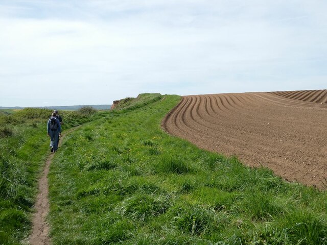
Long Nab is a popular destination for nature enthusiasts, hikers, and photographers. The cliff-top path offers a scenic walk with panoramic vistas of the coastline, while the slope is an ideal spot for picnics and relaxation. The area is home to a variety of bird species, including puffins, gannets, and kittiwakes, making it a haven for birdwatchers.
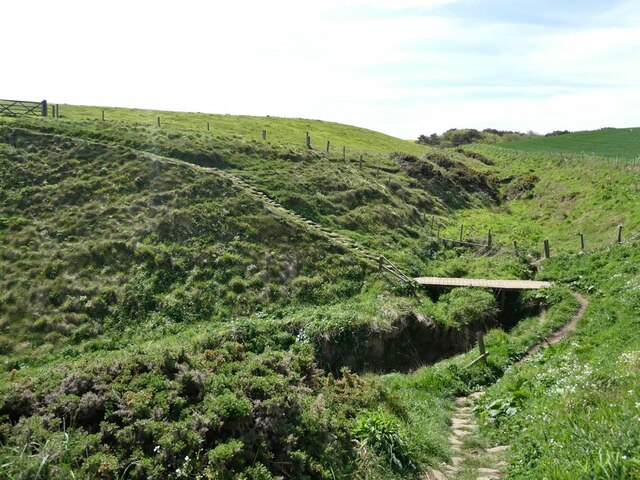
Access to Long Nab is relatively easy, with a car park nearby and a well-maintained footpath leading to the cliff edge. However, it is important to exercise caution when exploring the area, as the cliffs can be unstable in some places.
Overall, Long Nab is a beautiful and captivating location that showcases the raw power and beauty of the Yorkshire coastline. Whether you are seeking a peaceful walk or a chance to observe nature's wonders, Long Nab is a must-visit destination.
If you have any feedback on the listing, please let us know in the comments section below.
Long Nab Images
Images are sourced within 2km of 54.331896/-0.41942143 or Grid Reference TA0294. Thanks to Geograph Open Source API. All images are credited.


Long Nab is located at Grid Ref: TA0294 (Lat: 54.331896, Lng: -0.41942143)
Division: North Riding
Administrative County: North Yorkshire
District: Scarborough
Police Authority: North Yorkshire
What 3 Words
///enjoyable.master.random. Near Burniston, North Yorkshire
Nearby Locations
Related Wikis

Cloughton railway station
Cloughton railway station was a railway station on the Scarborough & Whitby Railway. It opened on 16 July 1885, and served the North Yorkshire village...

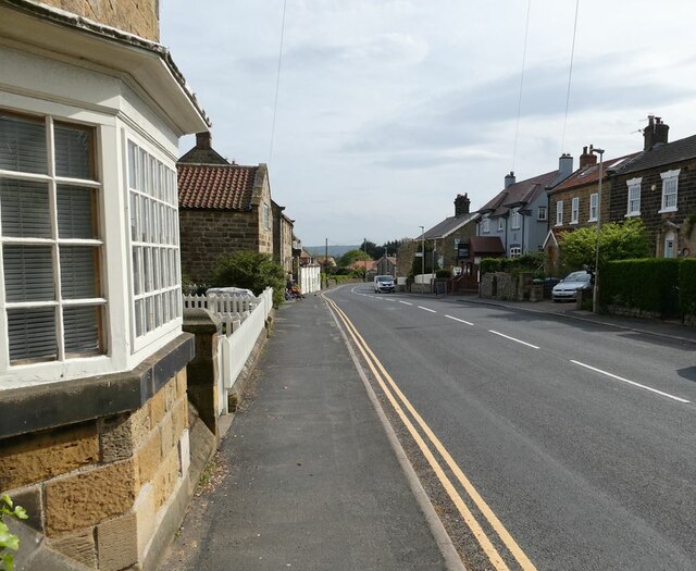
Burniston
Burniston is a village and civil parish in the Scarborough borough of North Yorkshire, England. It is situated about four miles north of Scarborough itself...

Cloughton
Cloughton (pronounced Clow-tun) is a small village and civil parish in the Scarborough district of North Yorkshire, England. == Description == It is situated...

Scalby Manor, Scarborough
Scalby Manor near Scarborough, North Yorkshire was built in 1885 by Edwin Brough. He was the leading breeder and trainer in England of bloodhounds at his...
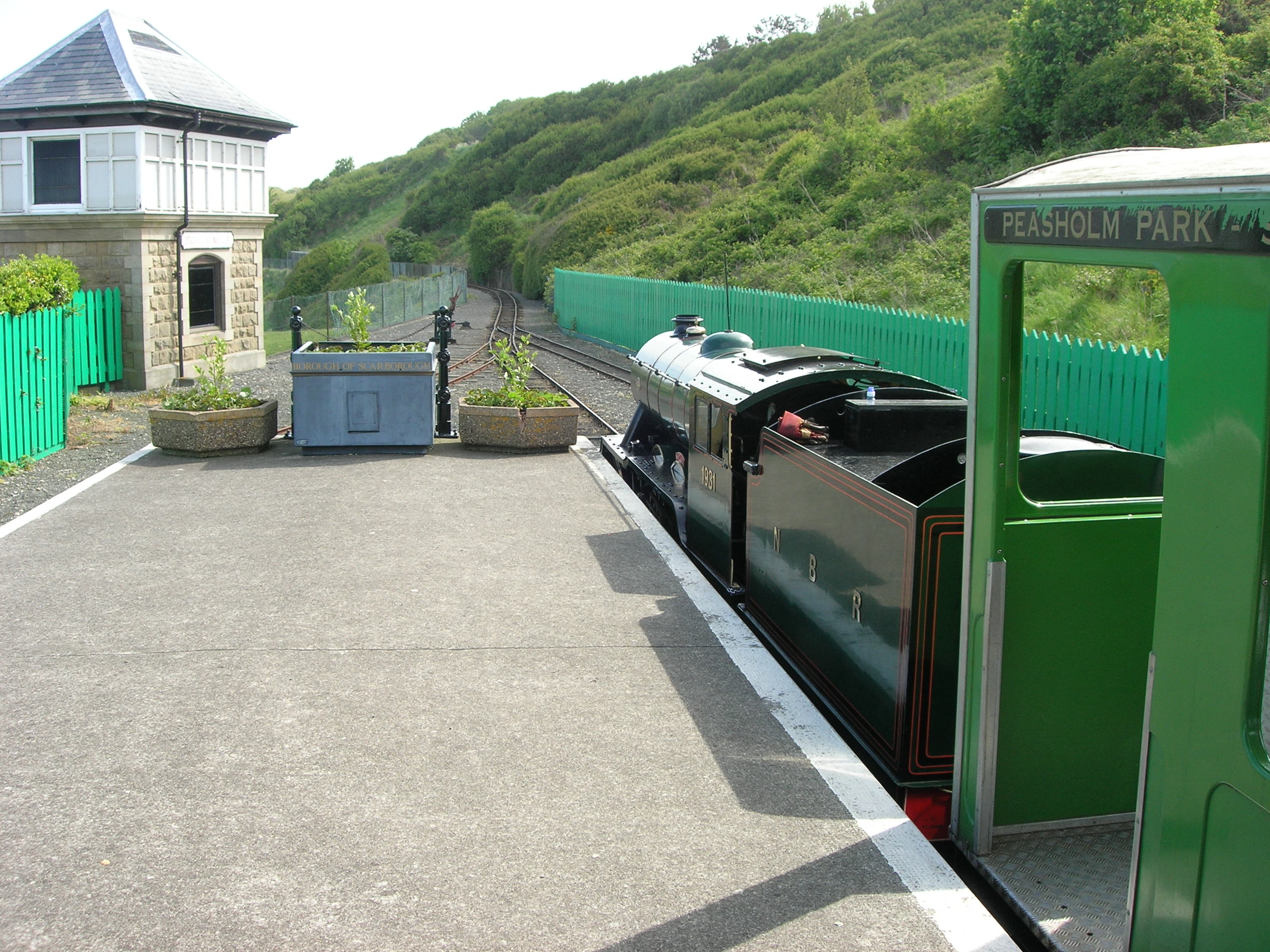
Scalby Mills railway station
Scalby Mills railway station is the northern terminus of the North Bay Railway in Scarborough, North Yorkshire, England. It opened to the public in 1931...

Hayburn Wyke railway station
Hayburn Wyke railway station was a railway station on the Scarborough & Whitby Railway, 7 miles from Scarborough. It opened on 16 July 1885, and served...
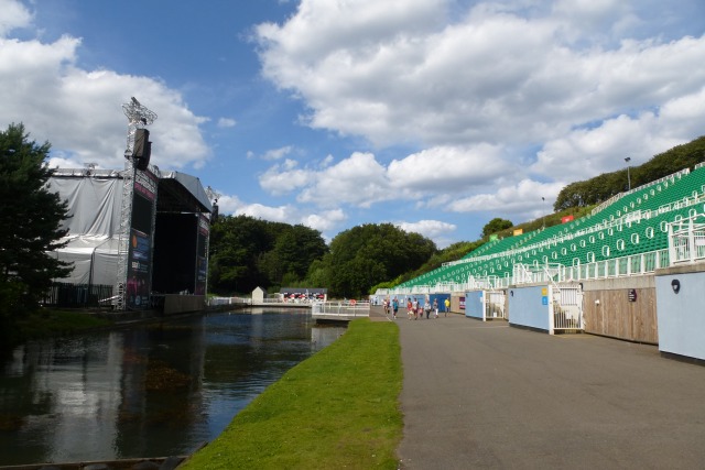
Scarborough Open Air Theatre
Scarborough Open Air Theatre (commonly abbreviated the SOAT or OAT) is an outdoor theatre in Scarborough, North Yorkshire, England. It was built in Northstead...

Scalby railway station
Scalby railway station was a railway station on the Scarborough & Whitby Railway. == History == The station opened on 16 July 1885, and served the village...
Nearby Amenities
Located within 500m of 54.331896,-0.41942143Have you been to Long Nab?
Leave your review of Long Nab below (or comments, questions and feedback).