Geo of Hagdale
Coastal Feature, Headland, Point in Shetland
Scotland
Geo of Hagdale
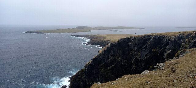
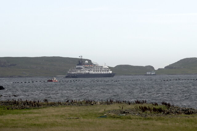
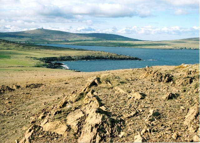
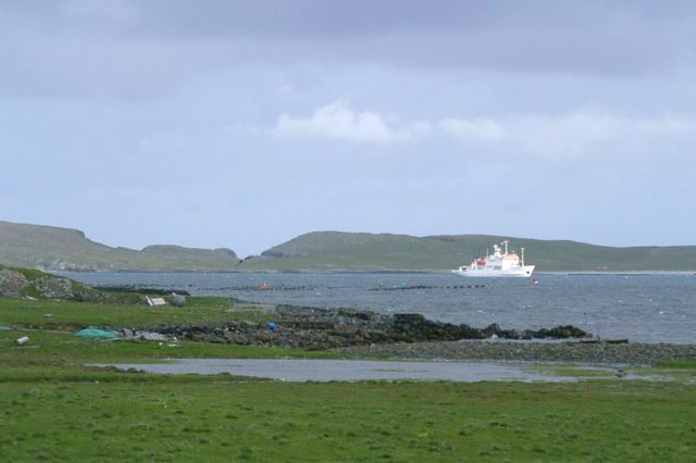
Geo of Hagdale is a prominent coastal feature located in the Shetland Islands, an archipelago in Scotland. It is classified as a headland or a point, as it juts out into the North Sea, forming a distinctive shape that is easily recognizable. The geo is situated on the west coast of the mainland, just north of the village of Walls.
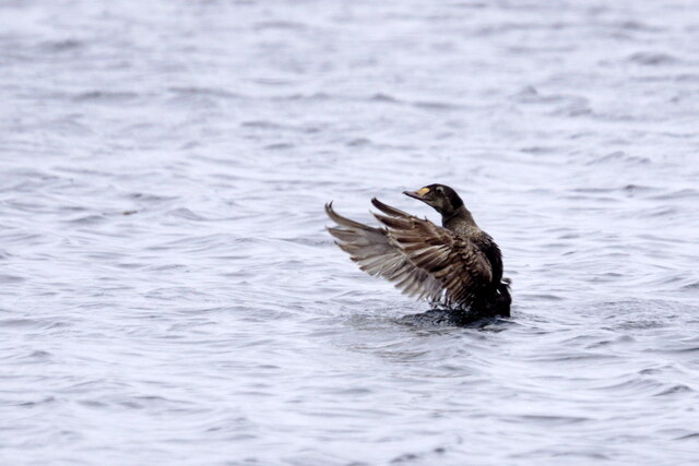
Stretching approximately 200 meters in length, the Geo of Hagdale boasts stunning cliffs that rise vertically from the sea, reaching heights of around 40 meters. These cliffs are composed of layered sedimentary rocks, showcasing a variety of colors and textures, adding to the picturesque beauty of the area. The rugged terrain and the exposed nature of the geo make it a haven for seabirds such as kittiwakes, fulmars, and guillemots, which nest on the cliff ledges.
The geo is accessible via a narrow footpath that winds its way down from the nearby road. At low tide, visitors can explore the rocky shoreline and discover fascinating rock pools teeming with marine life. The area surrounding the geo is also rich in geological features, including sea stacks and caves, which have been formed by the constant erosion of the waves.
Due to its stunning natural beauty and unique geological formations, the Geo of Hagdale is a popular destination for nature enthusiasts, hikers, and photographers. It offers breathtaking views of the North Sea and the surrounding coastline, providing an ideal spot to witness dramatic sunsets or to simply immerse oneself in the tranquility of the Shetland Islands.
If you have any feedback on the listing, please let us know in the comments section below.
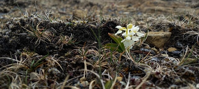
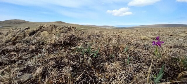
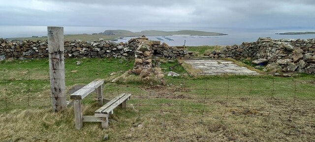
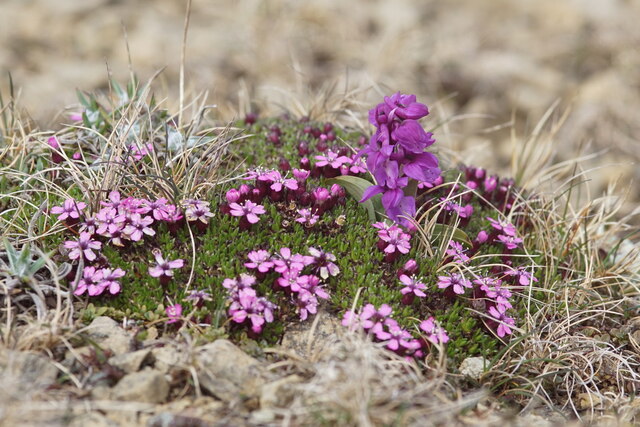
Geo of Hagdale Images
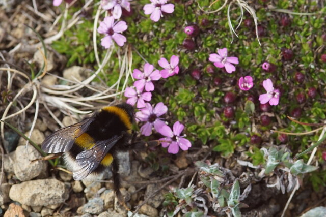
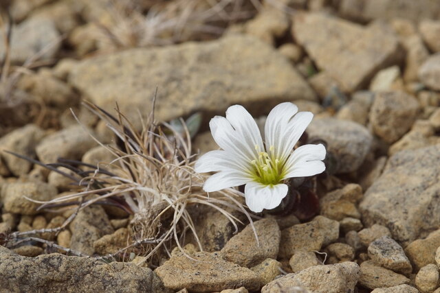
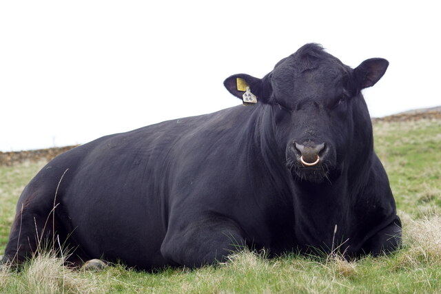
Images are sourced within 2km of 60.772934/-0.82074135 or Grid Reference HP6410. Thanks to Geograph Open Source API. All images are credited.


Geo of Hagdale is located at Grid Ref: HP6410 (Lat: 60.772934, Lng: -0.82074135)
Unitary Authority: Shetland Islands
Police Authority: Highlands and Islands
What 3 Words
///skillet.fuels.pebbles. Near Haroldswick, Shetland Islands
Nearby Locations
Related Wikis
Keen of Hamar
Keen of Hamar is a nature reserve on Unst, in Shetland, Scotland, managed by Scottish Natural Heritage. The reserve is primarily of botanical interest...
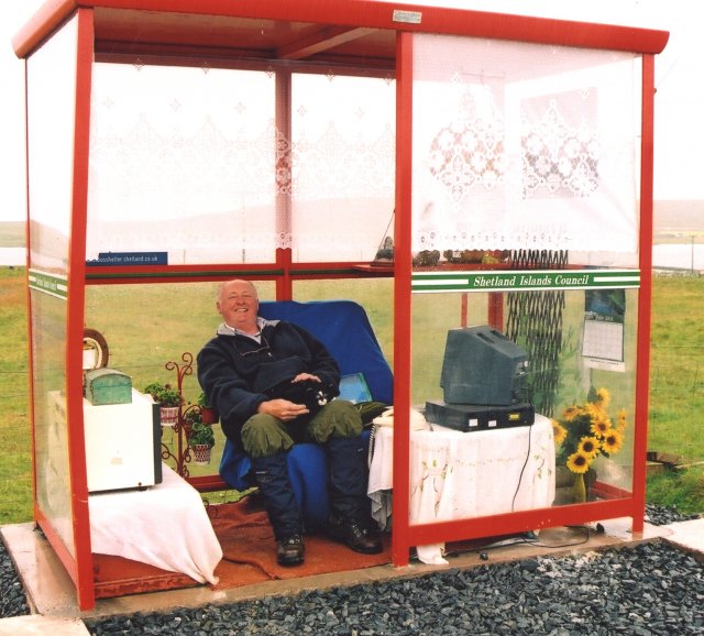
Unst Bus Shelter
The Unst Bus Shelter, also known as Bobby's Bus Shelter, is a bus shelter and bus stop near the village of Baltasound, on the isle of Unst, Shetland Islands...

Haroldswick
Haroldswick or Harold's Wick (Old Norse: Haraldsvík, 'Harald's bay'), is on Unst, Shetland Islands, Scotland, and is one of the most northerly settlements...
Balta Sound
Balta Sound is a sound (inlet) on the east coast of the island of Unst in the Shetland Islands, Scotland. The sound is sheltered from the North Sea to...

Baltasound
Baltasound (or Baltasund) is the largest settlement on the island of Unst in Shetland, Scotland. It comes from the Old Norse man's name Balti (Baltisund...

Valhalla Brewery
The Valhalla Brewery in Unst, Shetland, Scotland, was the northernmost brewery in the United Kingdom. It was opened by the husband and wife team Sonny...

Saxa Vord distillery
Saxa Vord distillery is a Scotch whisky and gin distillery on the island of Unst, part of the Shetland islands. The distillery takes its name from its...

Balta, Shetland
Balta (Scots: Balta; Old Norse: "Baltey") is an uninhabited island in Shetland, Scotland. == Geography == Balta lies off the east coast of Unst and Balta...
Nearby Amenities
Located within 500m of 60.772934,-0.82074135Have you been to Geo of Hagdale?
Leave your review of Geo of Hagdale below (or comments, questions and feedback).