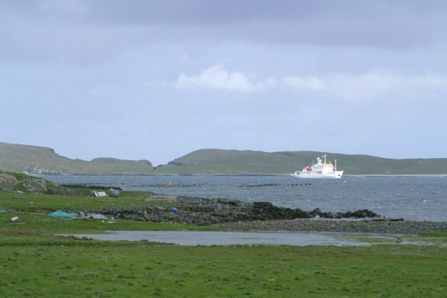
Boats Geo
Coastal Feature, Headland, Point in Shetland
Scotland
Boats Geo
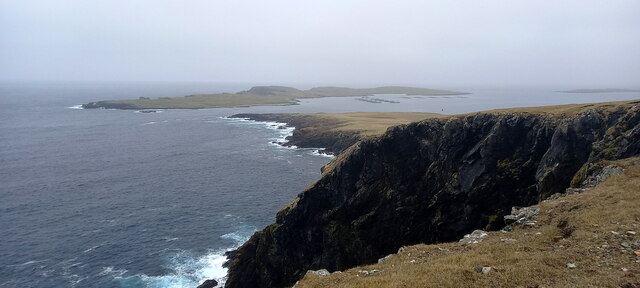
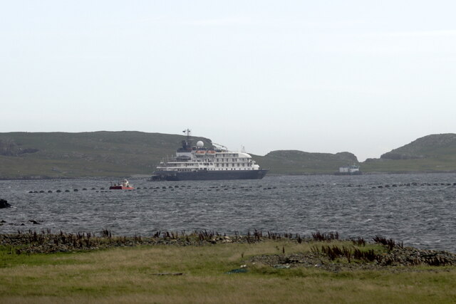
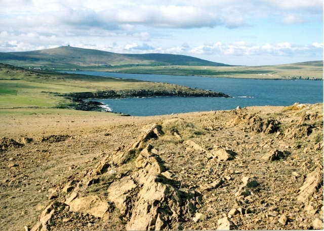
Boats Geo is a coastal feature located in the Shetland Islands, an archipelago in Scotland. It is primarily classified as a headland, also known as a point, due to its prominent position jutting out into the sea. The geo is situated on the western coast of the island of Mainland, the largest and most populated island in the Shetland group.
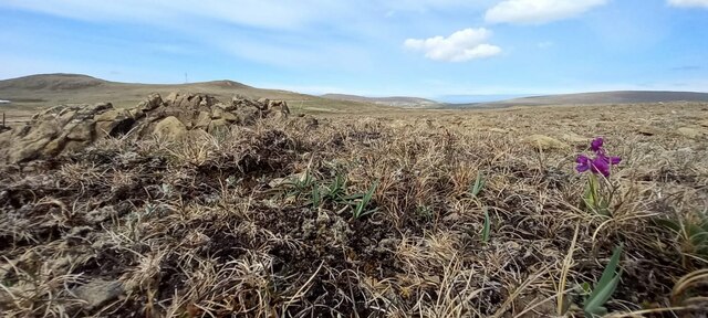
Boats Geo is characterized by its rugged and dramatic landscape, with steep cliffs rising from the sea and forming a distinctive shape. The headland is composed mainly of sedimentary rocks, such as sandstone and shale, which have been carved over time by the powerful forces of erosion. This erosion has resulted in the formation of sea caves and arches along the coastline, adding to the area's natural beauty.
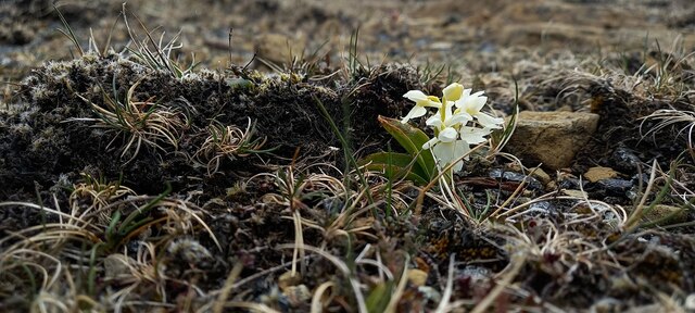
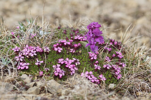
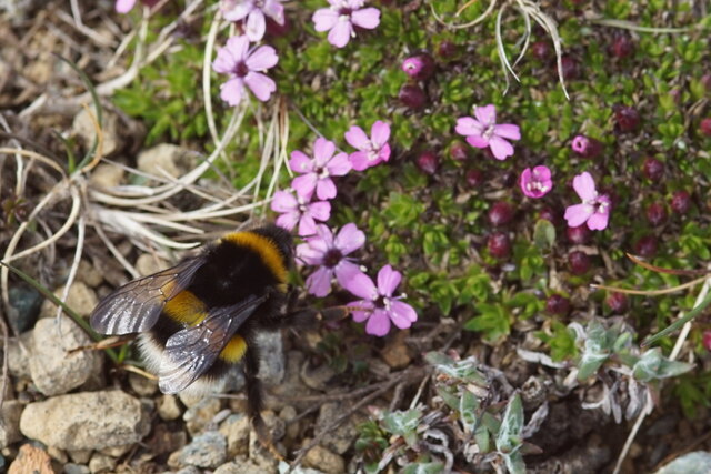
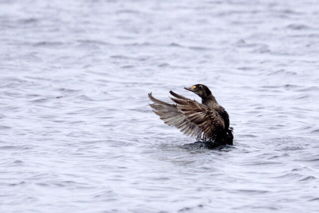
The geo is noteworthy for its rich biodiversity, providing a habitat for various seabird species, including puffins, guillemots, and razorbills. These birds can be seen nesting on the cliffs during the breeding season, creating a bustling and vibrant environment. The surrounding waters also support a diverse marine ecosystem, attracting seals, dolphins, and whales.
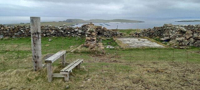
In addition to its natural features, Boats Geo holds historical and cultural significance. It is believed to have been used as a landing point for boats in the past, hence the name "Boats Geo." The site has archaeological remains nearby, including a Neolithic burial chamber, indicating human occupation and activity in the area since ancient times.
Overall, Boats Geo is a captivating coastal feature that showcases the unique geology, wildlife, and heritage of the Shetland Islands. It is a destination that appeals to nature enthusiasts, geologists, historians, and anyone seeking to explore the beauty of Scotland's coastline.
If you have any feedback on the listing, please let us know in the comments section below.
Boats Geo Images
Images are sourced within 2km of 60.77073/-0.81825209 or Grid Reference HP6410. Thanks to Geograph Open Source API. All images are credited.


Boats Geo is located at Grid Ref: HP6410 (Lat: 60.77073, Lng: -0.81825209)
Unitary Authority: Shetland Islands
Police Authority: Highlands and Islands
What 3 Words
///forgot.reply.nerd. Near Haroldswick, Shetland Islands
Nearby Locations
Related Wikis
Keen of Hamar
Keen of Hamar is a nature reserve on Unst, in Shetland, Scotland, managed by Scottish Natural Heritage. The reserve is primarily of botanical interest...
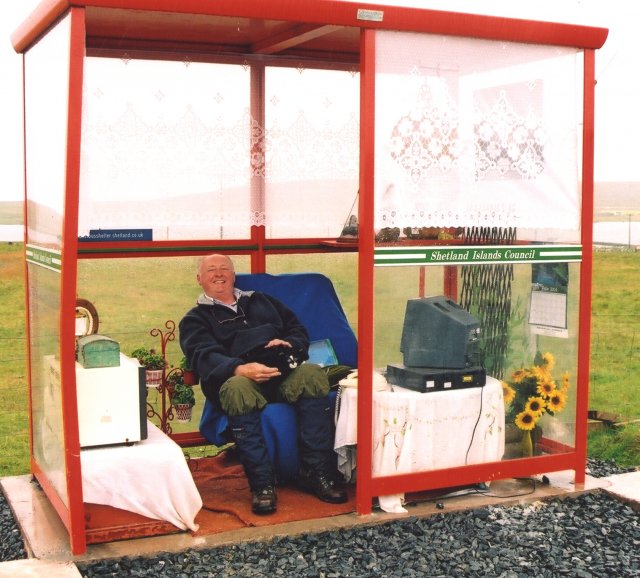
Unst Bus Shelter
The Unst Bus Shelter, also known as Bobby's Bus Shelter, is a bus shelter and bus stop near the village of Baltasound, on the isle of Unst, Shetland Islands...

Haroldswick
Haroldswick or Harold's Wick (Old Norse: Haraldsvík, 'Harald's bay'), is on Unst, Shetland Islands, Scotland, and is one of the most northerly settlements...
Balta Sound
Balta Sound is a sound (inlet) on the east coast of the island of Unst in the Shetland Islands, Scotland. The sound is sheltered from the North Sea to...

Baltasound
Baltasound (or Baltasund) is the largest settlement on the island of Unst in Shetland, Scotland. It comes from the Old Norse man's name Balti (Baltisund...

Balta, Shetland
Balta (Scots: Balta; Old Norse: "Baltey") is an uninhabited island in Shetland, Scotland. == Geography == Balta lies off the east coast of Unst and Balta...

Valhalla Brewery
The Valhalla Brewery in Unst, Shetland, Scotland, was the northernmost brewery in the United Kingdom. It was opened by the husband and wife team Sonny...

Saxa Vord distillery
Saxa Vord distillery is a Scotch whisky and gin distillery on the island of Unst, part of the Shetland islands. The distillery takes its name from its...
Nearby Amenities
Located within 500m of 60.77073,-0.81825209Have you been to Boats Geo?
Leave your review of Boats Geo below (or comments, questions and feedback).