Green Croo
Coastal Feature, Headland, Point in Shetland
Scotland
Green Croo

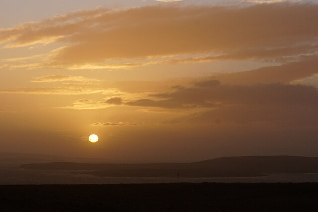
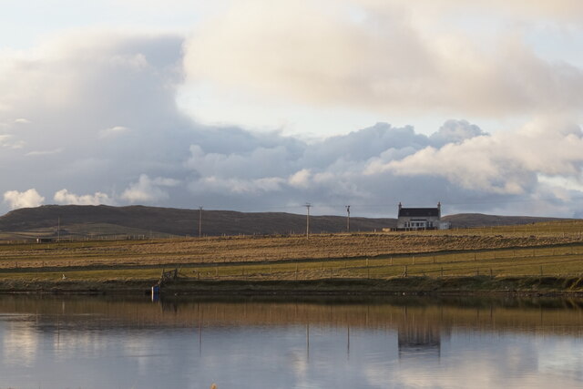
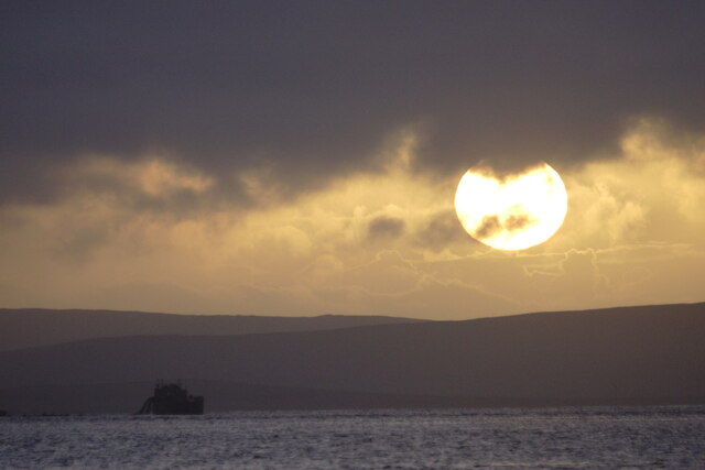
Green Croo is a prominent coastal feature located in the Shetland Islands, an archipelago situated off the northeast coast of Scotland. It is primarily identified as a headland, characterized by a rugged and dramatic landscape shaped by the relentless forces of the North Atlantic Ocean.
The headland is positioned at the northernmost tip of the Shetland mainland, jutting out into the sea with an impressive cliff face that reaches heights of up to 100 meters. The cliffs are mainly composed of sedimentary rocks, revealing layers of sandstone and shale that have been gradually eroded by the constant battering of waves and winds.
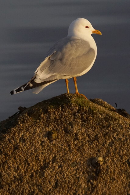
Green Croo is renowned for its stunning natural beauty and offers breathtaking panoramic views of the surrounding coastline. From its vantage point, visitors can marvel at the vast expanse of the ocean, observe seabirds soaring overhead, and, with a bit of luck, even spot seals or dolphins swimming in the waters below.
The headland is also a popular destination for hikers and nature enthusiasts, as it is encompassed by a network of walking trails that meander along the rugged cliffs and through the adjacent heather-covered moorland. These trails provide opportunities for visitors to explore the diverse flora and fauna that thrive in this remote and untouched corner of the Shetland Islands.
Due to its exposed location, Green Croo experiences harsh weather conditions, with strong winds and powerful waves being a common occurrence. It is advisable for visitors to exercise caution when visiting the headland, especially during inclement weather, as the cliffs can be dangerous and slippery.
Overall, Green Croo is a mesmerizing coastal feature that showcases the raw power and beauty of nature, attracting visitors from around the world who seek to immerse themselves in the untamed wilderness of the Shetland Islands.
If you have any feedback on the listing, please let us know in the comments section below.
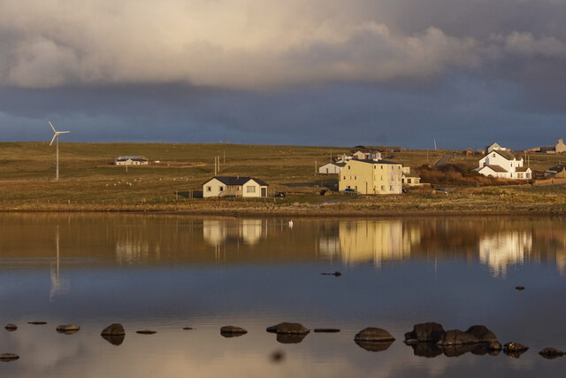
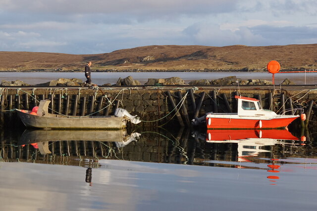
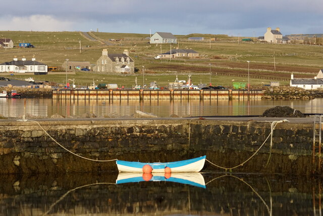
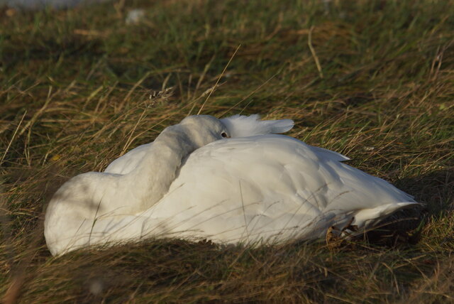
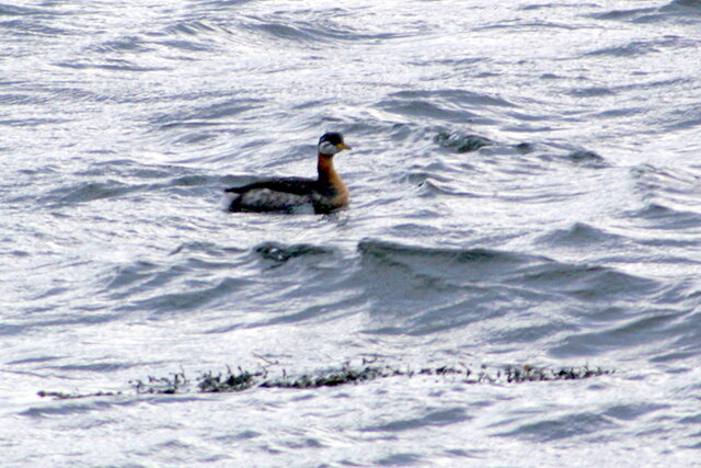
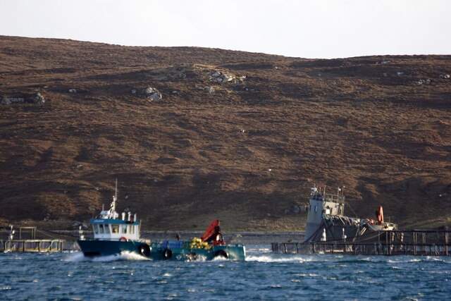
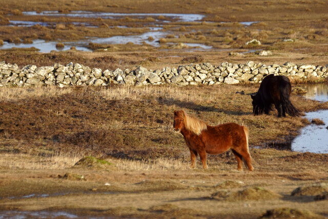
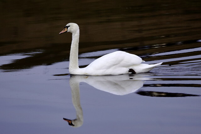
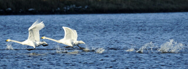
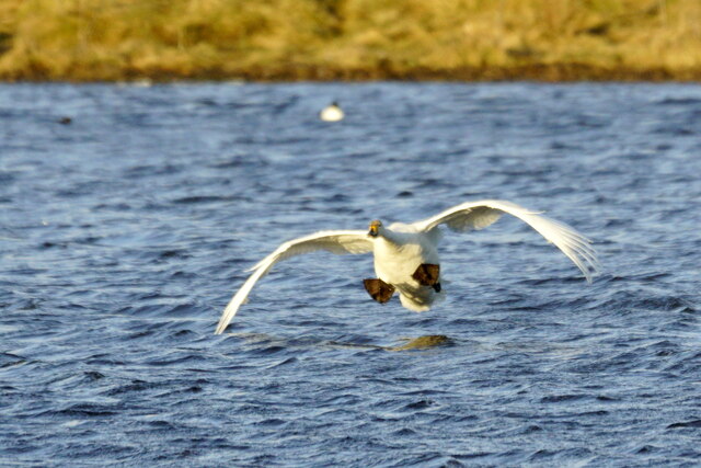
Green Croo Images
Images are sourced within 2km of 60.681829/-0.89293128 or Grid Reference HP6000. Thanks to Geograph Open Source API. All images are credited.

Green Croo is located at Grid Ref: HP6000 (Lat: 60.681829, Lng: -0.89293128)
Unitary Authority: Shetland Islands
Police Authority: Highlands and Islands
What 3 Words
///tonsils.mountain.plotter. Near Uyeasound, Shetland Islands
Nearby Locations
Related Wikis

Clivocast
Clivocast is a settlement on the island of Unst in the Shetland Islands, Scotland at 60.67°N 00.90°W / 60.67; -00.90 or grid reference HP6000 and is situated...

Mailand, Shetland
Mailand is a hamlet in the Shetland Islands. It is on the island of Unst, the northernmost of the inhabited British Isles, near its southern coast. �...

Uyeasound
Uyeasound is a village on the Isle of Unst, the northernmost island of the Shetland Islands, Scotland. It takes its name from the neighbouring strait of...
Uyea, Unst
Uyea (Scots: Uyea) is an uninhabited island, lying south of Unst in Shetland, Scotland. == History == The island was inhabited as early as the Bronze Age...

Muness Castle
Muness Castle is located on Unst, which is one of the Shetland Islands of Scotland. The castle is 3 kilometres (1.9 mi) east of the village of Uyeasound...

Haaf Gruney
Haaf Gruney is a small island in the north east of the Shetland Islands. == Geography and geology == The island is between Unst and Fetlar which are to...

Belmont, Shetland
Belmont is a settlement and ferry terminal in southern Unst in the Shetland Islands. The ferry crosses from here to Gutcher in Yell and to Hamars Ness...
Belmont House, Shetland
Belmont House is a neo classical Georgian Country House Estate on the island of Unst, the most northerly of the Shetland Islands, [United Kingdom] and...
Nearby Amenities
Located within 500m of 60.681829,-0.89293128Have you been to Green Croo?
Leave your review of Green Croo below (or comments, questions and feedback).