Corbie Geo
Coastal Feature, Headland, Point in Shetland
Scotland
Corbie Geo
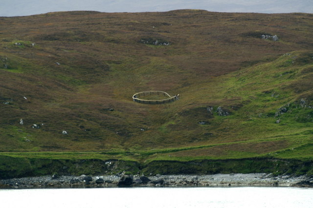
Corbie Geo is a prominent coastal feature located in the Shetland Islands, Scotland. It is classified as a headland, also known as a point, due to its distinctive shape and geographical characteristics.
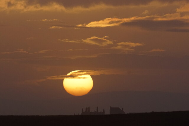
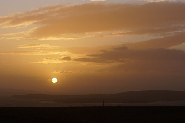
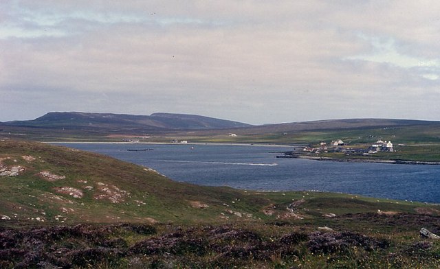
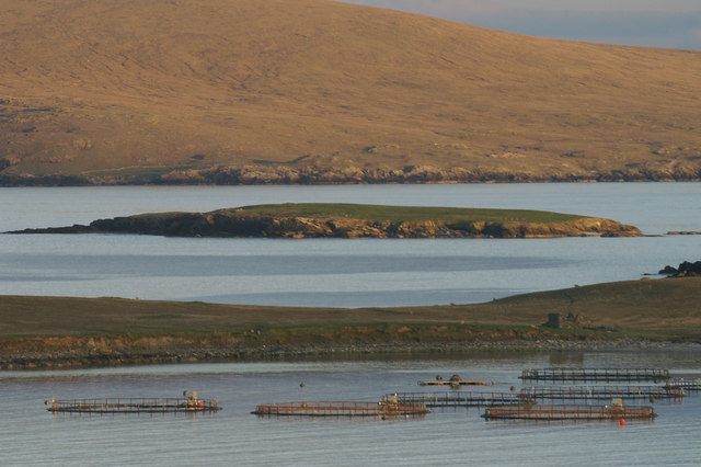
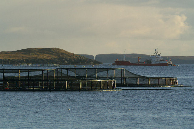
Situated on the east coast of the Shetland mainland, Corbie Geo offers breathtaking views of the North Sea. It is positioned between two smaller inlets, creating a dramatic landscape and making it a popular spot for nature enthusiasts, hikers, and photographers.
The headland is characterized by its steep cliffs, which rise to an impressive height above the sea. These cliffs are composed of layers of sedimentary rock, creating a unique geological formation. Over time, the constant erosion caused by the powerful waves has shaped the cliffs, resulting in the creation of caves, arches, and other features that add to the area's natural beauty.
Corbie Geo is also home to a diverse range of bird species, making it a haven for birdwatchers. Visitors can spot seabirds such as gannets, puffins, and fulmars nesting and soaring above the cliffs. The headland's coastal location also attracts seals and occasionally dolphins, adding to the wildlife spectacle.
Access to Corbie Geo can be gained through a well-maintained footpath that winds its way along the coastline. The path provides stunning panoramic views and allows visitors to explore the area safely. However, caution should be exercised due to the steep cliffs and unpredictable weather conditions.
Overall, Corbie Geo is a captivating coastal feature, offering a unique combination of rugged landscapes, diverse wildlife, and geological wonders. It is a must-visit destination for nature lovers and those seeking an immersive experience in the untamed beauty of the Shetland Islands.
If you have any feedback on the listing, please let us know in the comments section below.
Corbie Geo Images
Images are sourced within 2km of 60.663044/-0.89381393 or Grid Reference HU6098. Thanks to Geograph Open Source API. All images are credited.


Corbie Geo is located at Grid Ref: HU6098 (Lat: 60.663044, Lng: -0.89381393)
Unitary Authority: Shetland Islands
Police Authority: Highlands and Islands
What 3 Words
///telephone.tailors.privately. Near Uyeasound, Shetland Islands
Nearby Locations
Related Wikis

Uyea, Unst
Uyea (Scots: Uyea) is an uninhabited island, lying south of Unst in Shetland, Scotland. == History == The island was inhabited as early as the Bronze Age...

Sound Gruney
For other islands with similar names, see Gruney (disambiguation) Sound Gruney is one of the Shetland islands. It lies about 1.5 kilometres (0.93 mi)...

Clivocast
Clivocast is a settlement on the island of Unst in the Shetland Islands, Scotland at 60.67°N 00.90°W / 60.67; -00.90 or grid reference HP6000 and is situated...

Haaf Gruney
Haaf Gruney is a small island in the north east of the Shetland Islands. == Geography and geology == The island is between Unst and Fetlar which are to...

Uyeasound
Uyeasound is a village on the Isle of Unst, the northernmost island of the Shetland Islands, Scotland. It takes its name from the neighbouring strait of...

Urie Lingey
For other islands with similar names, see Linga (disambiguation) Urie Lingey is one of the Shetland Islands. It is between Fetlar and Unst, and Yell is...
Mailand, Shetland
Mailand is a hamlet in the Shetland Islands. It is on the island of Unst, the northernmost of the inhabited British Isles, near its southern coast. �...

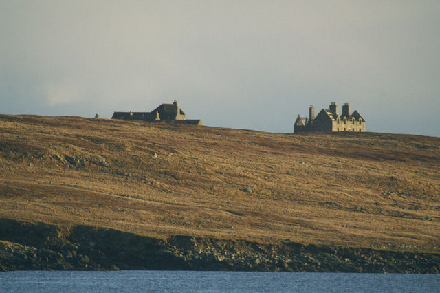
Muness Castle
Muness Castle is located on Unst, which is one of the Shetland Islands of Scotland. The castle is 3 kilometres (1.9 mi) east of the village of Uyeasound...
Nearby Amenities
Located within 500m of 60.663044,-0.89381393Have you been to Corbie Geo?
Leave your review of Corbie Geo below (or comments, questions and feedback).