Butter Geo
Coastal Feature, Headland, Point in Shetland
Scotland
Butter Geo
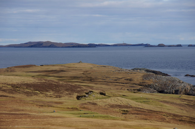
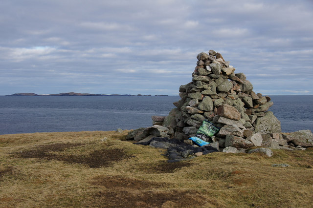
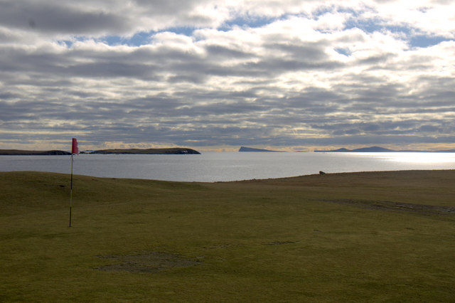
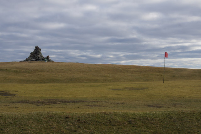
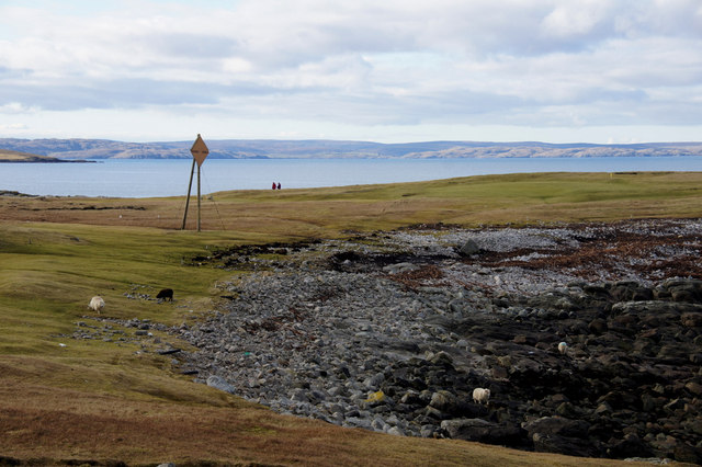
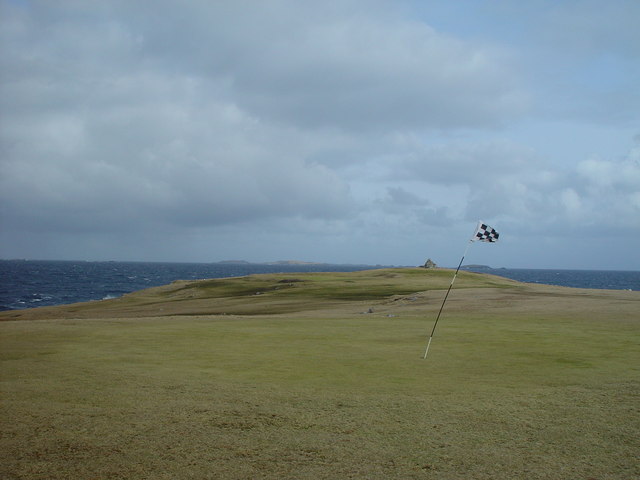
Butter Geo is a prominent coastal feature located on the island of Shetland, off the northern coast of Scotland. It is classified as a headland or a point and is known for its unique geological formations and stunning natural beauty.
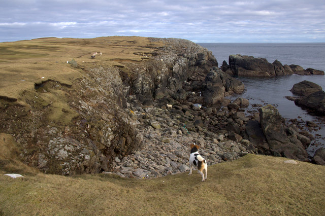
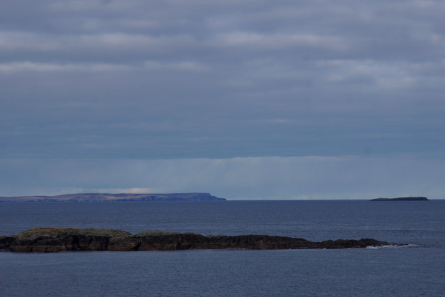
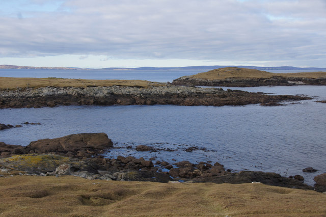
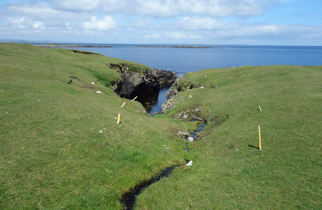
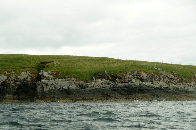
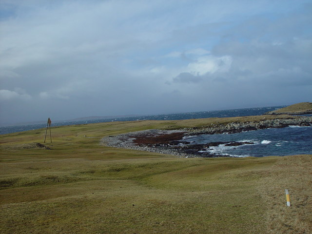
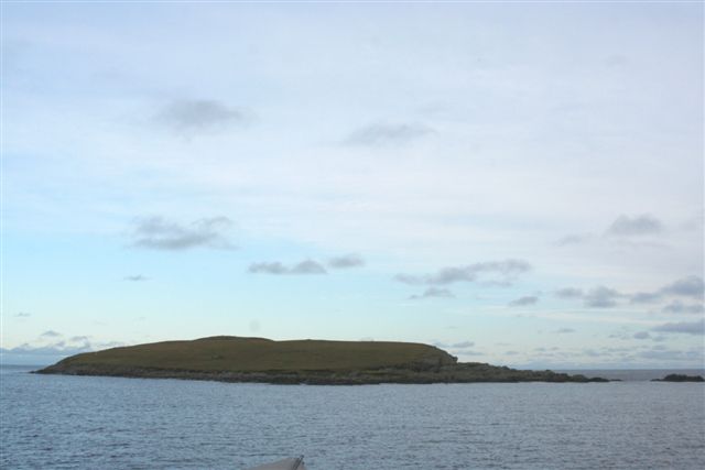
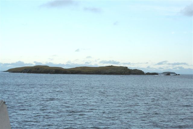
Situated on the western side of Shetland, Butter Geo juts out into the North Atlantic Ocean, providing breathtaking views of the surrounding coastline. The headland is characterized by its rugged cliffs, which are formed from layers of sedimentary rocks. These cliffs rise dramatically from the sea, creating a striking contrast against the deep blue waters.
At Butter Geo, visitors can witness the raw power of the ocean as waves crash against the rocks. The constant erosion caused by the waves has carved out sea caves and natural arches, adding to the area's charm. The headland is also home to a diverse range of seabirds, including puffins, fulmars, and guillemots, making it a popular spot for birdwatching enthusiasts.
The name "Butter Geo" is believed to have originated from the Old Norse word "gjá," which means 'chasm' or 'gorge.' This name accurately describes the deep, narrow clefts that can be found in the cliffs at Butter Geo, providing a sense of intrigue and mystery to the site.
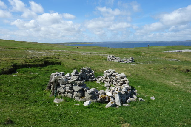
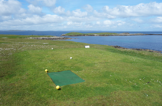
Access to Butter Geo is relatively easy, with a path leading from the nearby village. It is a popular destination for hikers and nature lovers, offering an opportunity to explore the rugged beauty of Shetland's coastline and immerse oneself in the stunning natural surroundings.
If you have any feedback on the listing, please let us know in the comments section below.
Butter Geo Images
Images are sourced within 2km of 60.380834/-0.90424687 or Grid Reference HU6066. Thanks to Geograph Open Source API. All images are credited.
Butter Geo is located at Grid Ref: HU6066 (Lat: 60.380834, Lng: -0.90424687)
Unitary Authority: Shetland Islands
Police Authority: Highlands and Islands
What 3 Words
///scatter.customers.massing. Near Symbister, Shetland Islands
Nearby Locations
Related Wikis

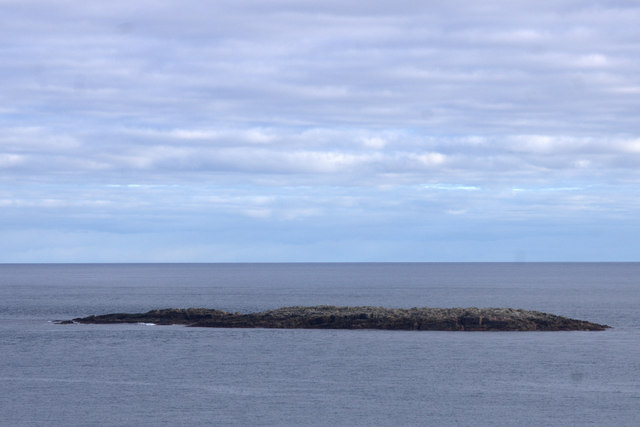
Inner Holm of Skaw
The Inner Holm of Skaw is a small, uninhabited islet off the northern tip of the island of Whalsay, in the Shetland Islands of Scotland, north of the village...
Outer Holm of Skaw
The Outer Holm of Skaw is a small, uninhabited islet, a rock outlier off the northeast coast of the island of Whalsay, in the Shetland Islands of Scotland...

Skaw, Whalsay
Skaw is a village in the extreme northeast of Whalsay in the parish of Nesting in the Shetland Islands of Scotland. It is mainly a crofting area. Whalsay...
Whalsay Airstrip
Whalsay Airstrip is located at the village of Skaw in the northern end of the island of Whalsay, Shetland, Scotland. It is the only airfield serving the...
Nista
Nista is a small islet of the Shetland Islands of Scotland, situated roughly 2 kilometres (1.2 mi) east off the coast of Whalsay. It lies to the north...
Mooa
Mooa is a small islet of the Shetland Islands of Scotland, situated roughly 2 kilometres (1.2 mi) east off the coast of Whalsay. It lies to the north of...

Standing Stones of Yoxie
The Standing Stones of Yoxie is a Neolithic site in the parish of Nesting on the northeastern coast of Whalsay, in the Shetland islands of Scotland. It...
Benie Hoose
Benie Hoose, also Bunyie Hoose, is a Neolithic site in the parish of Nesting, northeastern Whalsay, in the Shetland Islands of Scotland. It is located...
Have you been to Butter Geo?
Leave your review of Butter Geo below (or comments, questions and feedback).