Back Park
Downs, Moorland in Shetland
Scotland
Back Park
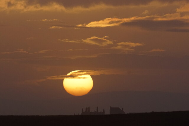
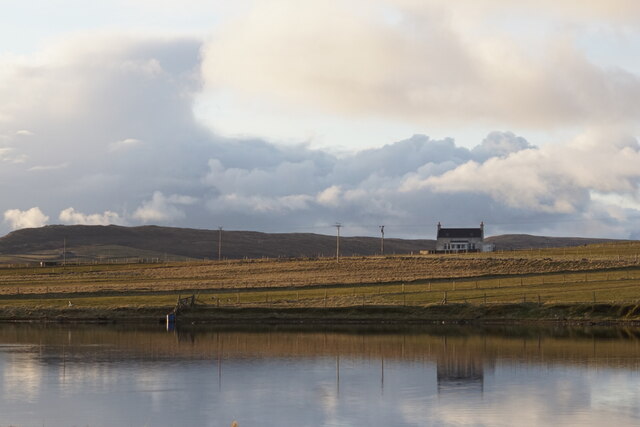
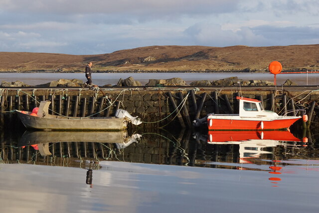
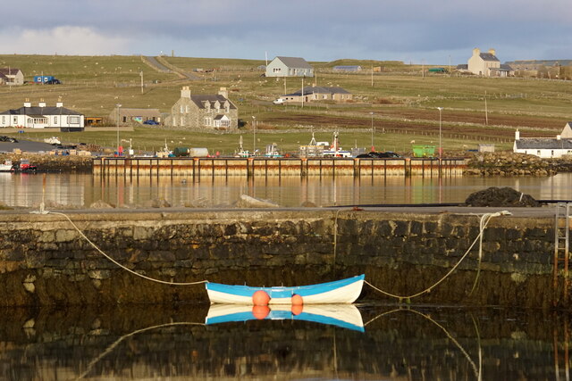
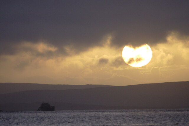
Back Park is a picturesque area located in the Shetland Islands, an archipelago in Scotland. It is renowned for its stunning natural beauty and diverse landscape consisting of downs and moorland. Situated in the southern part of Shetland, Back Park offers visitors a unique experience of the island's rugged terrain.
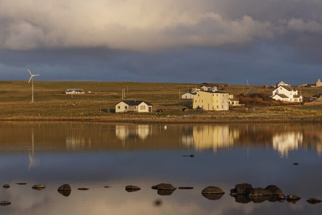
The downs of Back Park are characterized by rolling hills covered in lush grass and scattered with wildflowers, creating a vibrant and colorful landscape. This area is ideal for leisurely walks, picnics, and outdoor activities, providing visitors with breathtaking views of the surrounding countryside.
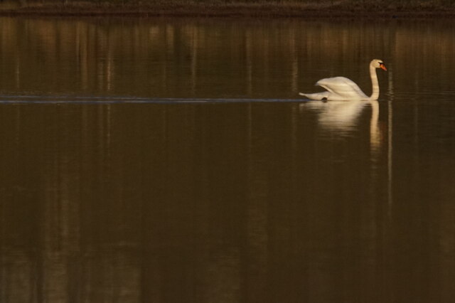
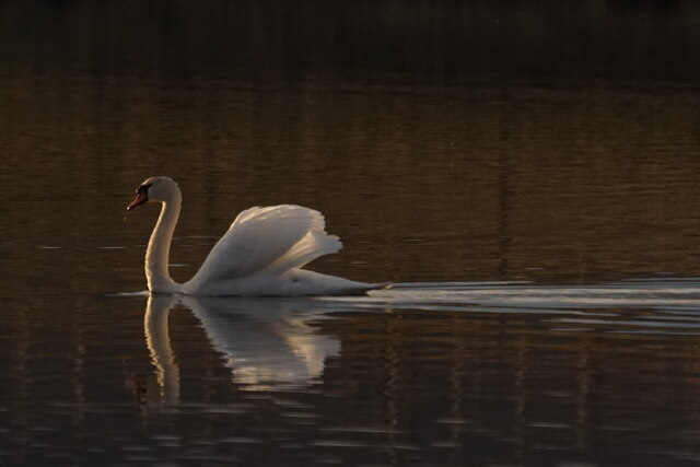
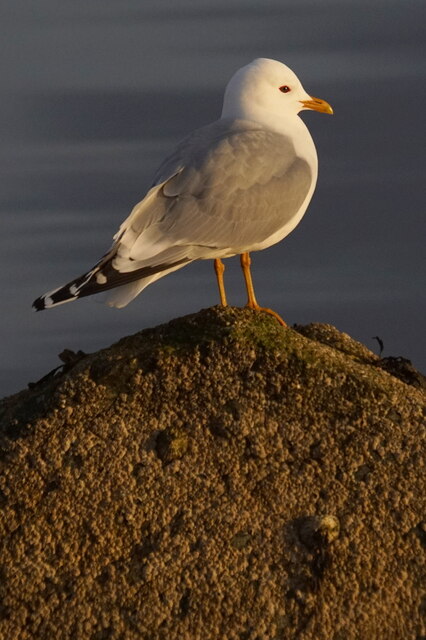
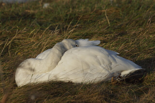
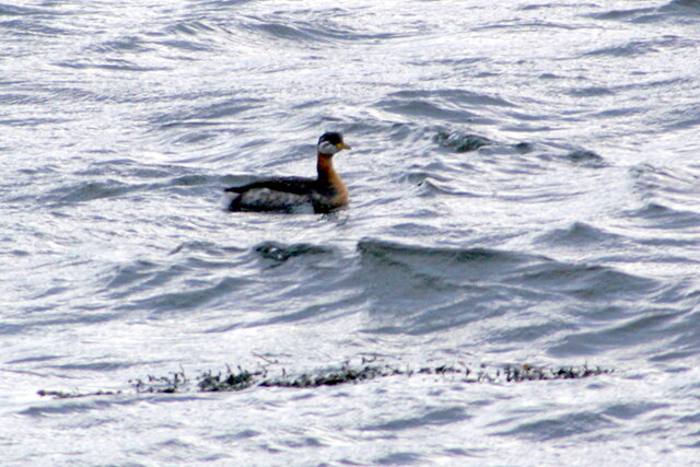
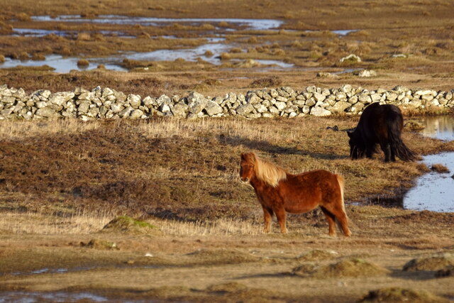
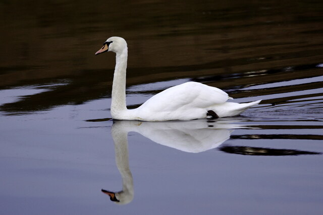
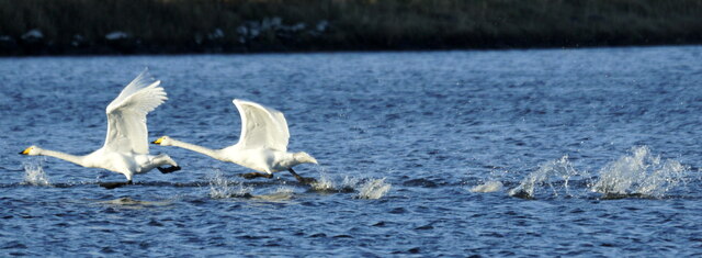
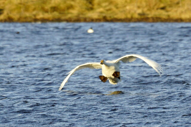
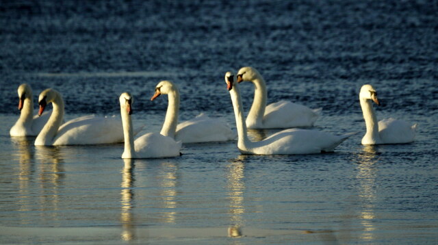
The moorland in Back Park is a stark contrast to the downs, with its vast open spaces and heather-covered terrain. This rugged and untamed landscape is home to a variety of wildlife, including birds, small mammals, and reptiles. Moorland enthusiasts can enjoy birdwatching, as the area is known for its diverse avian species.
Back Park is a haven for nature lovers and outdoor enthusiasts alike. Visitors can explore the area's well-maintained trails, which offer opportunities for hiking, cycling, and horseback riding. The tranquil atmosphere and untouched beauty of Back Park make it an ideal destination for those looking to escape the hustle and bustle of city life.
Additionally, Back Park is a popular spot for wildlife photography, with its unique landscape providing a stunning backdrop for capturing the beauty of the Shetland Islands. Whether it's the rolling downs or the vast moorland, Back Park offers visitors an unforgettable experience in the heart of nature.
If you have any feedback on the listing, please let us know in the comments section below.
Back Park Images
Images are sourced within 2km of 60.682976/-0.89263557 or Grid Reference HP6000. Thanks to Geograph Open Source API. All images are credited.

Back Park is located at Grid Ref: HP6000 (Lat: 60.682976, Lng: -0.89263557)
Unitary Authority: Shetland Islands
Police Authority: Highlands and Islands
What 3 Words
///fairness.masking.blogs. Near Uyeasound, Shetland Islands
Nearby Locations
Related Wikis

Clivocast
Clivocast is a settlement on the island of Unst in the Shetland Islands, Scotland at 60.67°N 00.90°W / 60.67; -00.90 or grid reference HP6000 and is situated...

Mailand, Shetland
Mailand is a hamlet in the Shetland Islands. It is on the island of Unst, the northernmost of the inhabited British Isles, near its southern coast. �...

Uyeasound
Uyeasound is a village on the Isle of Unst, the northernmost island of the Shetland Islands, Scotland. It takes its name from the neighbouring strait of...
Uyea, Unst
Uyea (Scots: Uyea) is an uninhabited island, lying south of Unst in Shetland, Scotland. == History == The island was inhabited as early as the Bronze Age...

Muness Castle
Muness Castle is located on Unst, which is one of the Shetland Islands of Scotland. The castle is 3 kilometres (1.9 mi) east of the village of Uyeasound...

Haaf Gruney
Haaf Gruney is a small island in the north east of the Shetland Islands. == Geography and geology == The island is between Unst and Fetlar which are to...

Belmont, Shetland
Belmont is a settlement and ferry terminal in southern Unst in the Shetland Islands. The ferry crosses from here to Gutcher in Yell and to Hamars Ness...
Belmont House, Shetland
Belmont House is a neo classical Georgian Country House Estate on the island of Unst, the most northerly of the Shetland Islands, [United Kingdom] and...
Related Videos

Snow!
We were expecting snow so took a couple of videos, as it started and next morning.
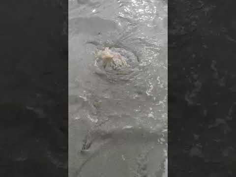
Huge Barrel Jellyfish!!
Found this Barrel Jellyfish as we walked along the beach. Was about 18 inches across and 30 inches long, very heavy too!
Nearby Amenities
Located within 500m of 60.682976,-0.89263557Have you been to Back Park?
Leave your review of Back Park below (or comments, questions and feedback).