Catafield
Coastal Feature, Headland, Point in Shetland
Scotland
Catafield
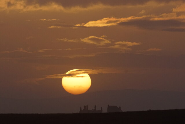
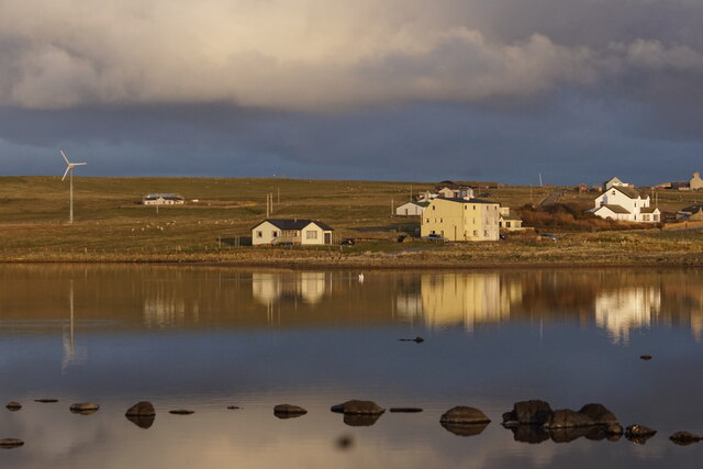
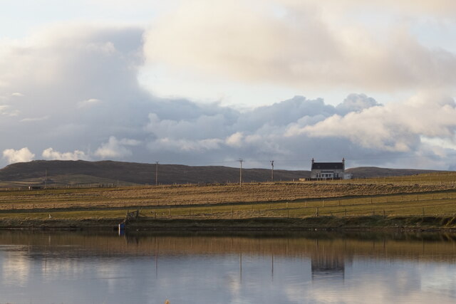
Catafield is a prominent coastal feature located in the Shetland Islands, an archipelago off the northeast coast of Scotland. Specifically, Catafield is a headland that extends into the North Atlantic Ocean, forming a distinctive point along the rugged coastline.
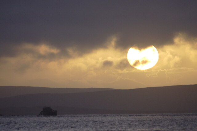
Standing at an elevation of approximately 50 meters above sea level, Catafield offers breathtaking panoramic views of the surrounding landscape, characterized by towering cliffs, rocky shores, and the vast expanse of the ocean. The headland is composed of rugged rocks and is known for its dramatic and jagged appearance.
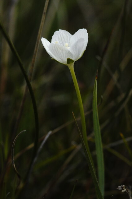
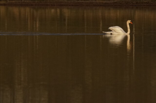
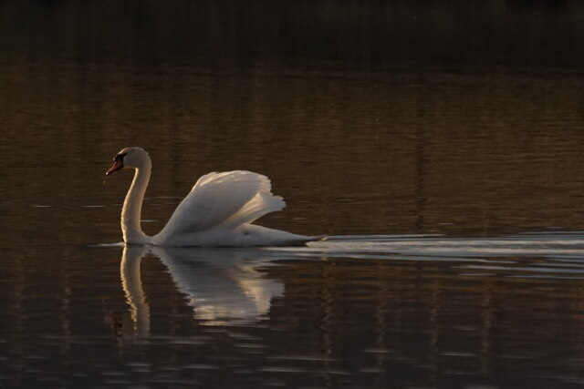
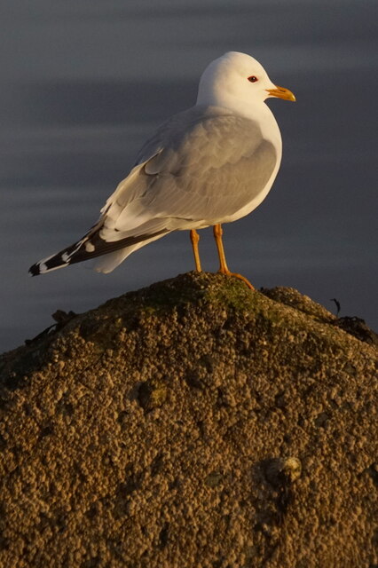
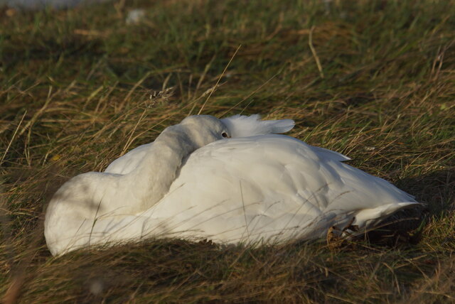
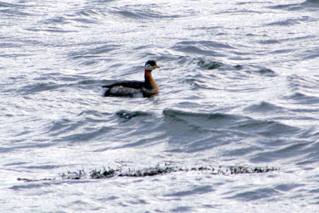
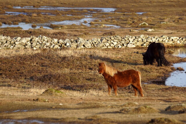
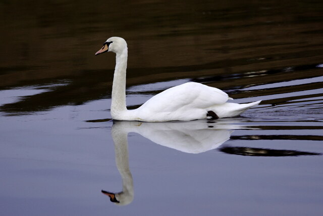
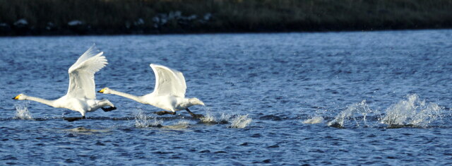
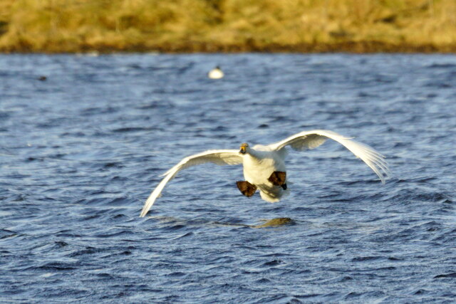
The area around Catafield is home to a diverse range of wildlife. Seabirds such as puffins, gannets, and fulmars can often be spotted nesting on the headland, while seals and occasionally whales can be seen swimming in the waters below.
Catafield is a popular destination for nature enthusiasts and hikers, who are attracted by its stunning natural beauty and unique geological formations. The headland is accessible via a well-maintained footpath, which offers visitors a chance to explore the area and appreciate its wild and untamed beauty up close.
Due to its exposed location, Catafield experiences strong winds and rough sea conditions, making it important for visitors to exercise caution and adhere to safety guidelines. Despite the challenging conditions, the headland's awe-inspiring scenery and abundant wildlife make it a must-visit destination for those seeking an authentic coastal experience in the Shetland Islands.
If you have any feedback on the listing, please let us know in the comments section below.
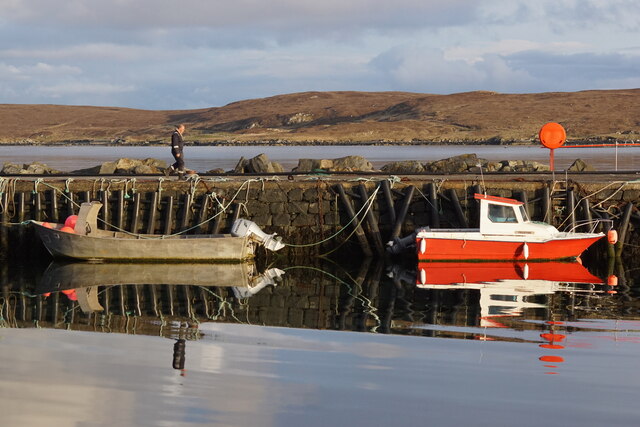
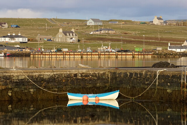
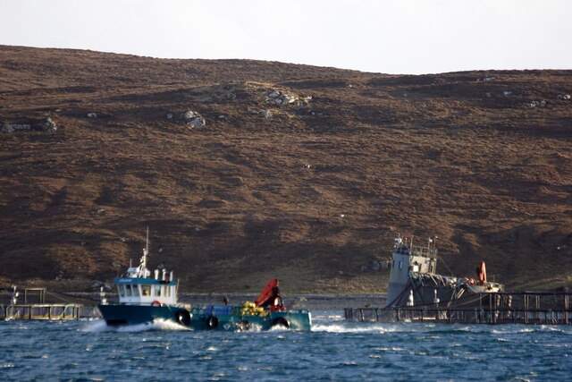
Catafield Images
Images are sourced within 2km of 60.682417/-0.89994132 or Grid Reference HP6000. Thanks to Geograph Open Source API. All images are credited.

Catafield is located at Grid Ref: HP6000 (Lat: 60.682417, Lng: -0.89994132)
Unitary Authority: Shetland Islands
Police Authority: Highlands and Islands
What 3 Words
///elephant.importers.stitch. Near Uyeasound, Shetland Islands
Nearby Locations
Related Wikis

Clivocast
Clivocast is a settlement on the island of Unst in the Shetland Islands, Scotland at 60.67°N 00.90°W / 60.67; -00.90 or grid reference HP6000 and is situated...

Uyeasound
Uyeasound is a village on the Isle of Unst, the northernmost island of the Shetland Islands, Scotland. It takes its name from the neighbouring strait of...

Mailand, Shetland
Mailand is a hamlet in the Shetland Islands. It is on the island of Unst, the northernmost of the inhabited British Isles, near its southern coast. �...
Uyea, Unst
Uyea (Scots: Uyea) is an uninhabited island, lying south of Unst in Shetland, Scotland. == History == The island was inhabited as early as the Bronze Age...

Muness Castle
Muness Castle is located on Unst, which is one of the Shetland Islands of Scotland. The castle is 3 kilometres (1.9 mi) east of the village of Uyeasound...

Belmont, Shetland
Belmont is a settlement and ferry terminal in southern Unst in the Shetland Islands. The ferry crosses from here to Gutcher in Yell and to Hamars Ness...
Belmont House, Shetland
Belmont House is a neo classical Georgian Country House Estate on the island of Unst, the most northerly of the Shetland Islands, [United Kingdom] and...

Sound Gruney
For other islands with similar names, see Gruney (disambiguation) Sound Gruney is one of the Shetland islands. It lies about 1.5 kilometres (0.93 mi)...
Nearby Amenities
Located within 500m of 60.682417,-0.89994132Have you been to Catafield?
Leave your review of Catafield below (or comments, questions and feedback).