Turweston Fields
Downs, Moorland in Buckinghamshire
England
Turweston Fields

Turweston Fields, located in the county of Buckinghamshire, England, is a picturesque area encompassing downs and moorland landscapes. Spanning across a vast expanse of land, it offers visitors a serene and tranquil setting to explore and appreciate the natural beauty of the region.
The downs of Turweston Fields are characterized by their gently rolling hills and open grassland. These areas provide a perfect habitat for a variety of flora and fauna, including wildflowers, grasses, and numerous bird species. The undulating terrain allows for breathtaking views of the surrounding countryside, making it an ideal location for walkers, hikers, and nature enthusiasts.
Adjacent to the downs, the moorland of Turweston Fields offers a contrasting landscape, with its heather-covered hillsides and peat bogs. Moorland areas are a haven for wildlife, attracting species such as red grouse, curlews, and adders. The unique ecosystem of the moorland is carefully preserved, ensuring the protection of its delicate balance and the survival of its inhabitants.
Turweston Fields is a popular destination for outdoor activities such as hiking, birdwatching, and photography. The well-maintained footpaths and trails provide easy access for visitors to explore the downs and moorland, allowing them to immerse themselves in the natural beauty and tranquility of the area.
With its stunning vistas, diverse wildlife, and peaceful ambiance, Turweston Fields in Buckinghamshire is a sought-after location for those seeking to escape the hustle and bustle of everyday life and reconnect with nature. Whether it's a leisurely stroll through the downs or an adventurous hike across the moorland, visitors to Turweston Fields are sure to be captivated by its charm and natural splendor.
If you have any feedback on the listing, please let us know in the comments section below.
Turweston Fields Images
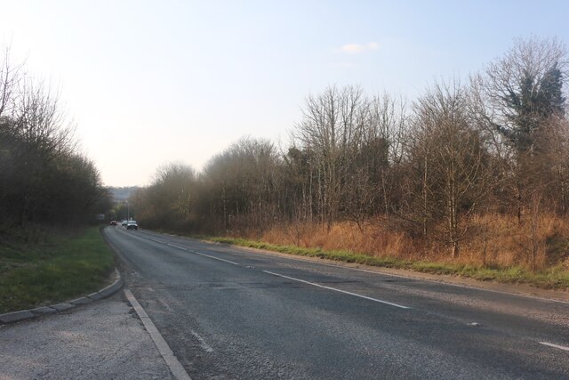
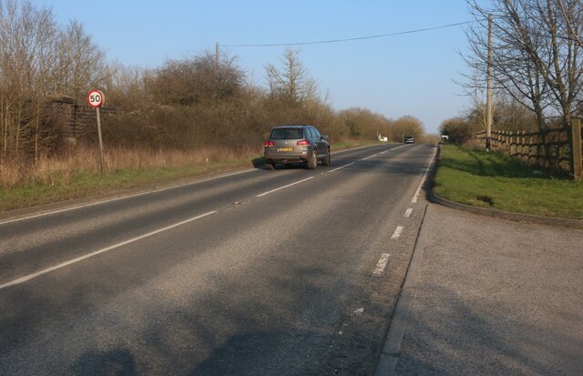
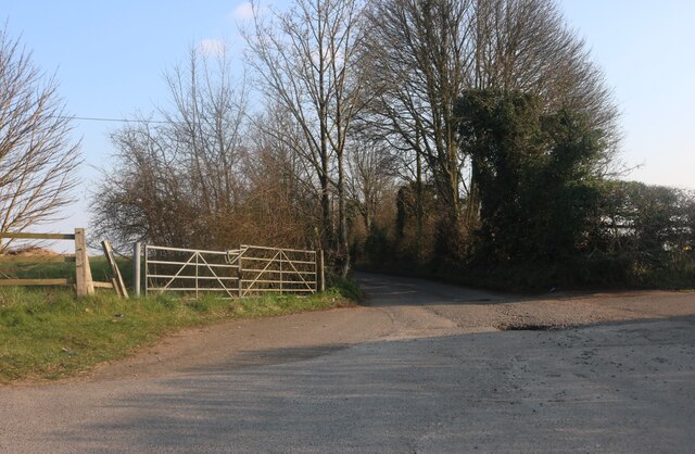
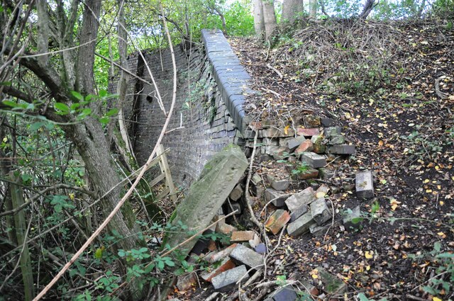
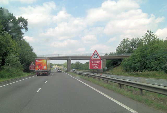
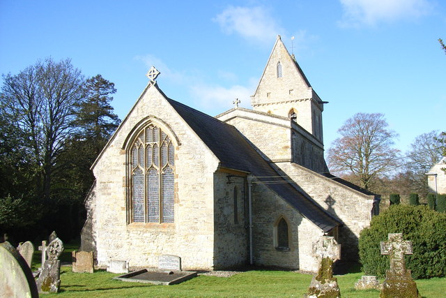
Images are sourced within 2km of 52.036766/-1.1177407 or Grid Reference SP6037. Thanks to Geograph Open Source API. All images are credited.


Turweston Fields is located at Grid Ref: SP6037 (Lat: 52.036766, Lng: -1.1177407)
Unitary Authority: Buckinghamshire
Police Authority: Thames Valley
What 3 Words
///stem.rattled.duplicity. Near Brackley, Northamptonshire
Nearby Locations
Related Wikis
Turweston
Turweston is a village and civil parish in north-west Buckinghamshire, England. The village is beside the River Great Ouse, which bounds the parish to...

Turweston Aerodrome
Turweston Aerodrome (ICAO: EGBT) is an airfield located near the village of Turweston, in north Buckinghamshire near the Northamptonshire border. It is...
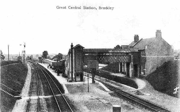
Brackley Central railway station
Brackley Central was a railway station on the former Great Central Main Line which ran from Manchester Piccadilly to London Marylebone, the last main line...

Whitfield, Northamptonshire
Whitfield is a village and parish in the south-west of the English county of Northamptonshire in the valley of the River Great Ouse which forms the border...
Nearby Amenities
Located within 500m of 52.036766,-1.1177407Have you been to Turweston Fields?
Leave your review of Turweston Fields below (or comments, questions and feedback).