Stour Geo
Coastal Feature, Headland, Point in Shetland
Scotland
Stour Geo

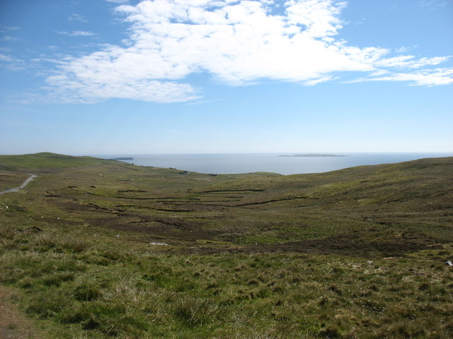
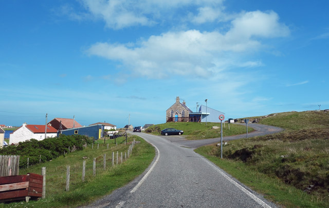
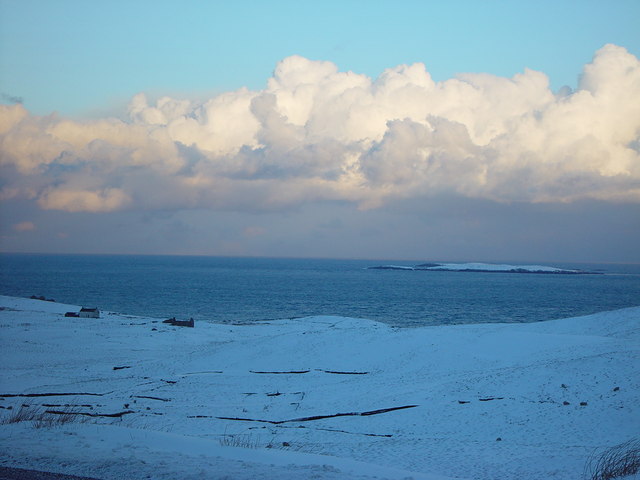
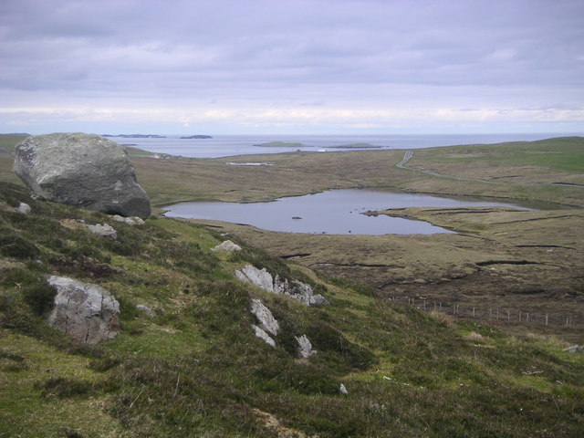
Stour Geo is a prominent coastal feature located on the northern coast of the Shetland Islands in Scotland. It is classified as a headland or point due to its distinct and protruding shape, extending into the North Sea. Stour Geo is situated in the vicinity of the village of Leebitton, approximately 8 kilometers northeast of the main settlement of Lerwick.
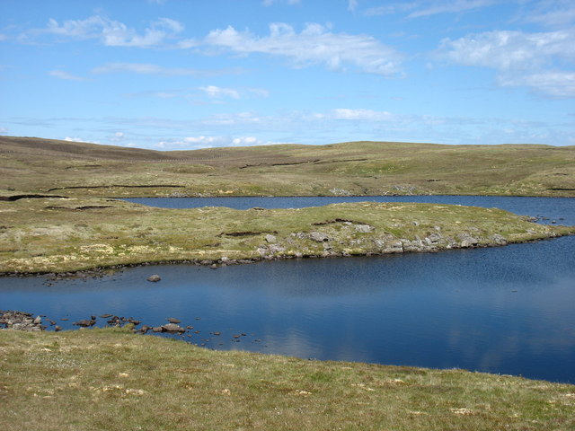
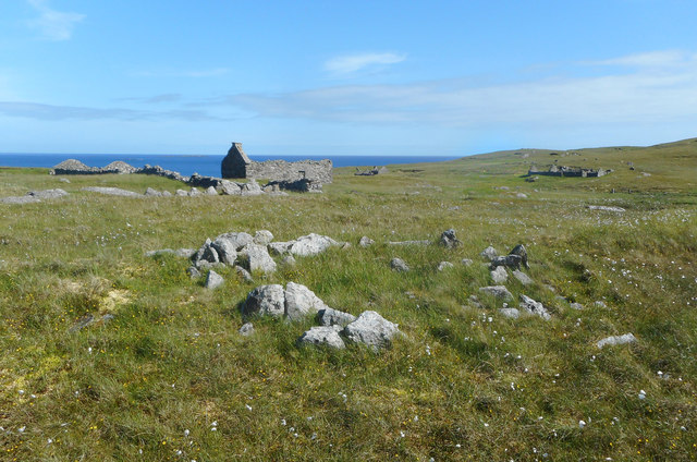
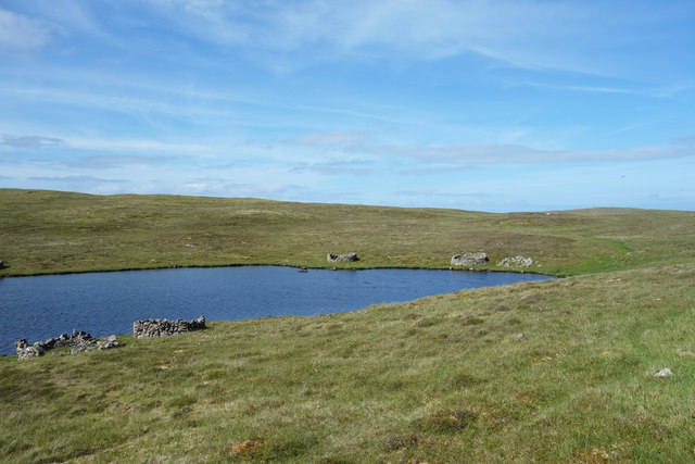
The headland is characterized by steep cliffs that rise dramatically from the sea, reaching heights of up to 50 meters in some areas. These cliffs are composed of rugged and weathered rocks, showcasing a variety of geological formations, including sandstone and conglomerate layers. The exposed nature of Stour Geo makes it susceptible to strong winds and rough seas, creating a dynamic coastal environment.
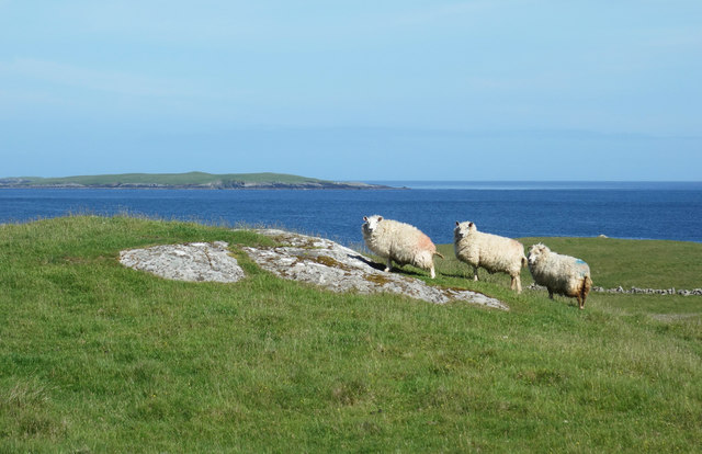
The headland provides a habitat for a diverse range of coastal flora and fauna. The cliffs support populations of seabirds, including fulmars, guillemots, and kittiwakes, which nest in the crevices and ledges. Visitors to Stour Geo may also spot seals and otters in the surrounding waters.
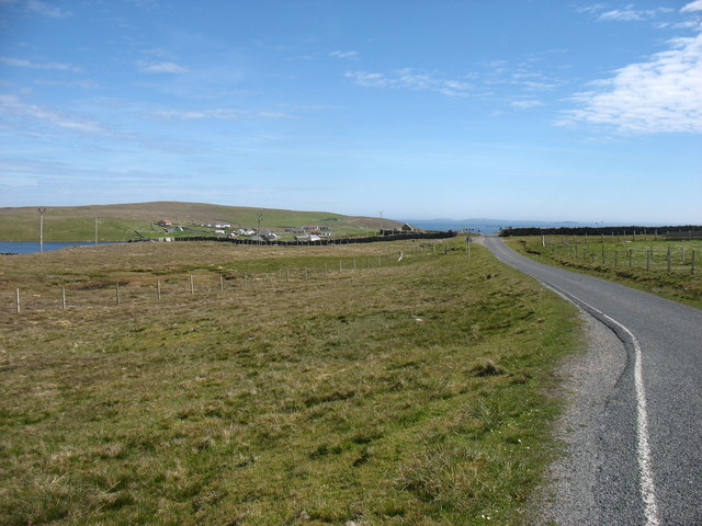
The coastal feature is a popular destination for nature enthusiasts, hikers, and photographers, offering stunning panoramic views of the North Sea and the rugged Shetland coastline. There are walking trails that allow visitors to explore the headland and appreciate its natural beauty up-close. However, caution must be exercised when visiting Stour Geo due to the steep cliffs and potentially hazardous conditions during inclement weather.
In summary, Stour Geo is a striking headland on the northern coast of the Shetland Islands, known for its towering cliffs, diverse wildlife, and breathtaking views.
If you have any feedback on the listing, please let us know in the comments section below.
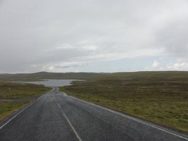
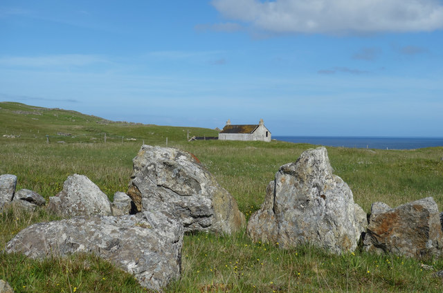
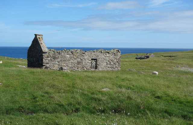
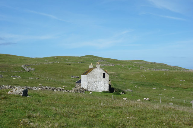
Stour Geo Images
Images are sourced within 2km of 60.341197/-0.97372925 or Grid Reference HU5662. Thanks to Geograph Open Source API. All images are credited.


Stour Geo is located at Grid Ref: HU5662 (Lat: 60.341197, Lng: -0.97372925)
Unitary Authority: Shetland Islands
Police Authority: Highlands and Islands
What 3 Words
///hissing.headings.insert. Near Symbister, Shetland Islands
Nearby Locations
Related Wikis

Falsa Burn
Falsa Burn is a burn (stream) of southeastern Whalsay, Shetland Islands, Scotland. Roughly 600 metres (2,000 ft) in length, it ends near the sea to the...

Huxter
Huxter is a crofting township in southeastern Whalsay in the parish of Nesting in the Shetland islands of Scotland. It lies to the east of Symbister, just...

Loch of Huxter
Loch of Huxter is a loch of southeastern Whalsay, Shetland Islands, Scotland, to the southwest of the village of Huxter. There is a water pumping station...
Treawick
Treawick, also Traewick, is an uninhabited crofting village in eastern Whalsay in the parish of Nesting in the Shetland Islands of Scotland. It is located...

Whalsay
Whalsay (Scots: Whalsa; Old Norse: Hvalsey or Hvals-øy, meaning 'Whale Island') is the sixth largest of the Shetland Islands in the north of Scotland....
Nuckro Water
Nuckro Water is a loch of southeastern Whalsay, Shetland Islands, Scotland. It is located to the east of the Loch of Stanefield, northwest of Treawick...

Loch of Livister
Loch of Livister is a loch of southern-central Whalsay, Shetland Islands, Scotland, located to the north of the Loch of Huxter. Though the Loch of Livister...

Loch of Stanefield
Loch of Stanefield is a small loch of southern-central Whalsay, Shetland Islands, Scotland. It is located to the northeast of the Loch of Livister, west...
Have you been to Stour Geo?
Leave your review of Stour Geo below (or comments, questions and feedback).