Gorsendi Geo

Coastal Feature, Headland, Point in Shetland

Scotland

Gorsendi Geo

Southern Whalsay Looking from near the summit of Ward of Clett across to the uninhabited islet of East Linga in the distance.
Southern Whalsay Credit: David Purchase

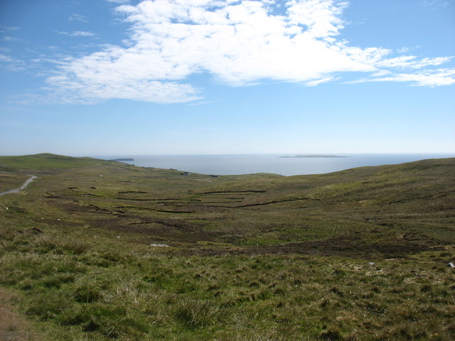
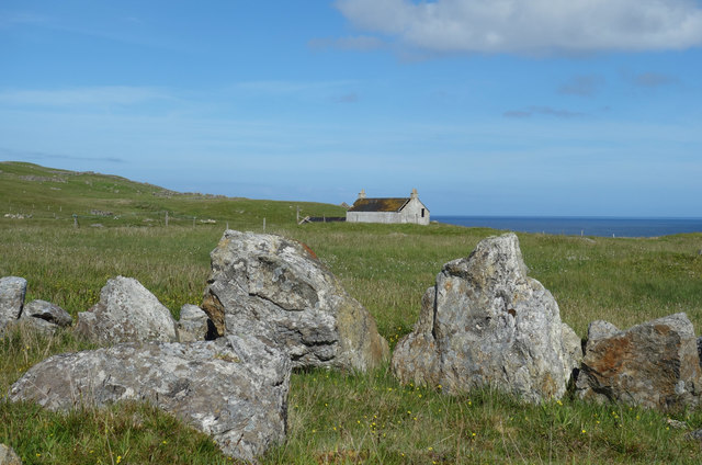
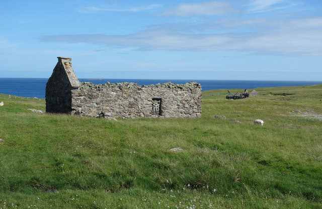
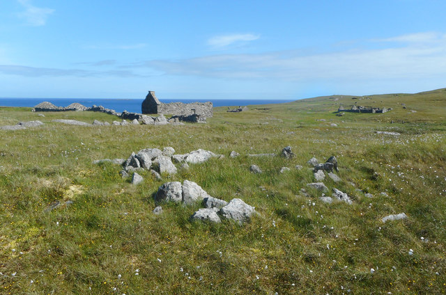
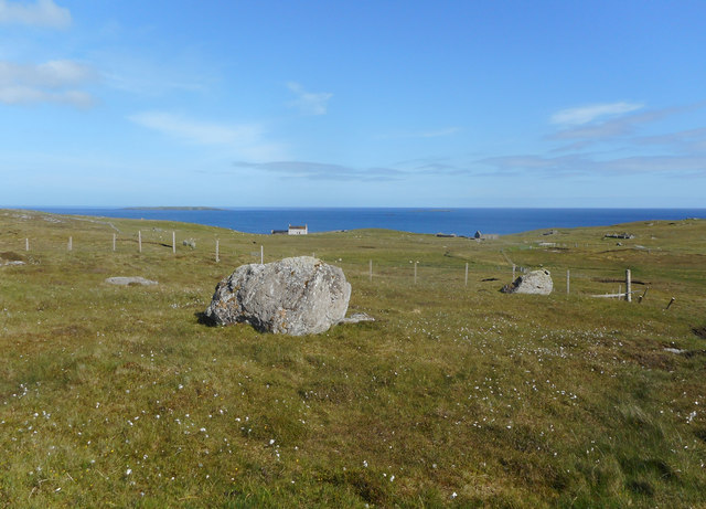
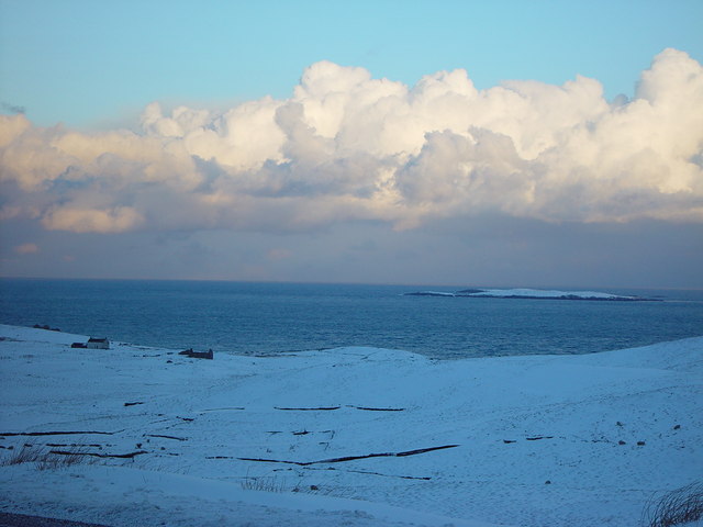
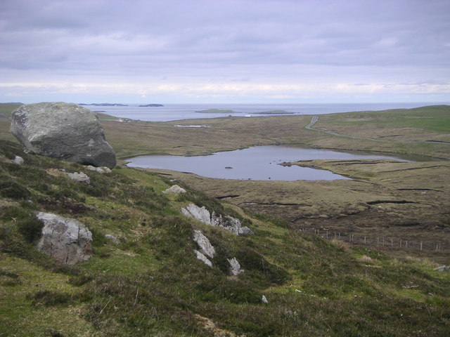
Gorsendi Geo is a prominent coastal feature located in Shetland, an archipelago in Scotland. It is a stunning headland that juts out into the North Sea, forming a distinctive point that is well-known for its natural beauty and geological significance.

Situated on the west coast of Shetland, Gorsendi Geo offers breathtaking views of the surrounding rugged coastline and the vast expanse of the sea. Its imposing cliffs rise steeply from the water, reaching heights of over 100 feet in some areas. These cliffs are composed primarily of sandstone and shale, showcasing the geological history of the region.

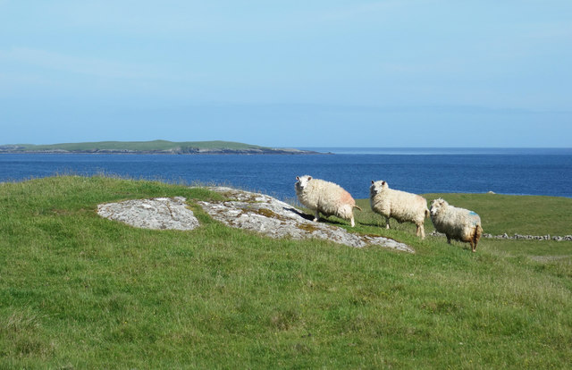
The headland is also home to a diverse range of flora and fauna, making it a popular spot for nature enthusiasts. The rich marine environment around Gorsendi Geo supports a variety of seabirds, including puffins, guillemots, and razorbills, which can be observed nesting and diving for food. Visitors may also spot seals, dolphins, and occasionally even whales swimming in the waters below.

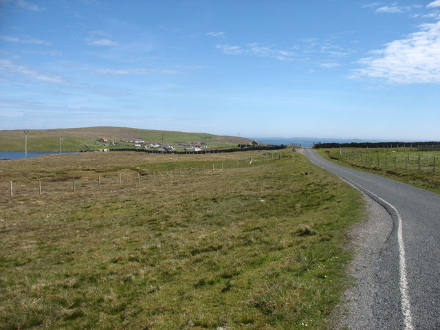
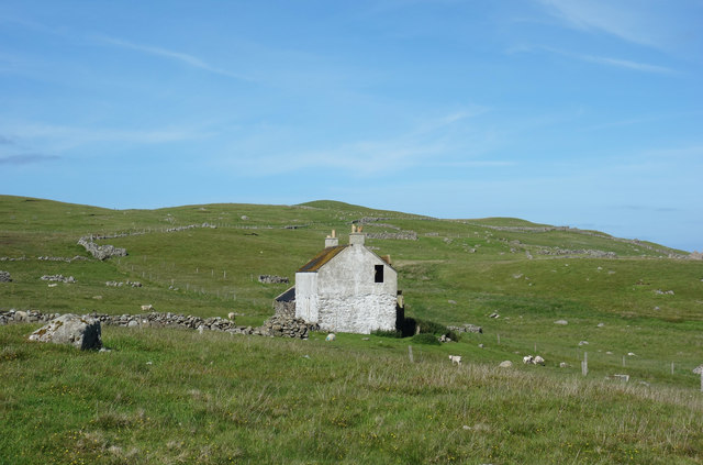
Access to Gorsendi Geo is relatively easy, with a footpath leading to the headland from a nearby car park. However, caution is advised as the cliffs can be dangerous, and it is essential to stay on designated paths and respect any safety signs.

In summary, Gorsendi Geo is a remarkable coastal feature in Shetland, offering stunning views, unique geology, and abundant wildlife. It is a must-visit destination for those seeking to experience the raw beauty of Scotland's coastline.

If you have any feedback on the listing, please let us know in the comments section below.

Gorsendi Geo Images

Images are sourced within 2km of 60.339741/-0.97593068 or Grid Reference HU5662. Thanks to Geograph Open Source API. All images are credited.

Southern Whalsay Looking from near the summit of Ward of Clett across to the uninhabited islet of East Linga in the distance.
Southern Whalsay
Looking from near the summit of Ward of Clett across to the uninhabited islet of East Linga in the distance.
The summit of Ward of Clett, Whalsay Well, this is what everyone would think is the summit. But the purists maintain that the true highest point is a little way to the north-east, at HU55046148.
The summit of Ward of Clett, Whalsay
Well, this is what everyone would think is the summit. But the purists maintain that the true highest point is a little way to the north-east, at HU55046148.
Loch of Huxter, Whalsay One of four lochs on Whalsay of similar size. I would estimate that this is the largest.
Loch of Huxter, Whalsay
One of four lochs on Whalsay of similar size. I would estimate that this is the largest.
The valley of the Falsa Burn Looking out to sea from near Huxter. I suspect that, had the weather not been so dry for the last month, this ground would be very damp.
The valley of the Falsa Burn
Looking out to sea from near Huxter. I suspect that, had the weather not been so dry for the last month, this ground would be very damp.
Nuckro Water, Whalsay
Approaching Isbister, Whalsay The Out Skerries are on the horizon.
Approaching Isbister, Whalsay
The Out Skerries are on the horizon.
View towards Nuckro Water View towards Nuckro water on the island of Whalsay
View towards Nuckro Water
View towards Nuckro water on the island of Whalsay
Empty House at Treawick There is a whole deserted community here, derelict houses and buildings around the shallow valley of the Falsa Burn.
Empty House at Treawick
There is a whole deserted community here, derelict houses and buildings around the shallow valley of the Falsa Burn.
Ruined House at Treawick One of the houses in the deserted community of Treawick. Another is visible in the distance.
Ruined House at Treawick
One of the houses in the deserted community of Treawick. Another is visible in the distance.
Deserted Farmhouse, Treawick The most substantial and most recently occupied house in the abandoned community of Treawick.
Other houses are just bare stone walls, but this one appears to have hung on for a lot longer.
Deserted Farmhouse, Treawick
The most substantial and most recently occupied house in the abandoned community of Treawick. Other houses are just bare stone walls, but this one appears to have hung on for a lot longer.
Rocks and Old Iron, Loch of Huxter A beautiful small loch near Symbister. The thing on the rock looks like part of an old stove.
Rocks and Old Iron, Loch of Huxter
A beautiful small loch near Symbister. The thing on the rock looks like part of an old stove.
Loch of Huxter
Loch of Huxter
View at Symbister The eastern part of Symbister. Sodom, according to the map.
View at Symbister
The eastern part of Symbister. Sodom, according to the map.
Three Sheep at Treawick Probably wondering what I'm doing. I get the impression nobody comes down here much.
Three Sheep at Treawick
Probably wondering what I'm doing. I get the impression nobody comes down here much.
Old Walls at Treawick The abandoned settlement of Treawick.
Old Walls at Treawick
The abandoned settlement of Treawick.
Nuckro Water
Nuckro Water
Nuckro Water
Nuckro Water
View towards Treawick A short walk from the road through a couple of fields takes you to the deserted settlement of Treawick.
View towards Treawick
A short walk from the road through a couple of fields takes you to the deserted settlement of Treawick.
Show me another place!

Gorsendi Geo is located at Grid Ref: HU5662 (Lat: 60.339741, Lng: -0.97593068)

Unitary Authority: Shetland Islands

Police Authority: Highlands and Islands

What 3 Words

///riot.sunbeam.toxic. Near Symbister, Shetland Islands

Related Wikis

Huxter

Huxter is a crofting township in southeastern Whalsay in the parish of Nesting in the Shetland islands of Scotland. It lies to the east of Symbister, just...

Falsa Burn

Falsa Burn is a burn (stream) of southeastern Whalsay, Shetland Islands, Scotland. Roughly 600 metres (2,000 ft) in length, it ends near the sea to the...

Whalsay

Whalsay (Scots: Whalsa; Old Norse: Hvalsey or Hvals-øy, meaning 'Whale Island') is the sixth largest of the Shetland Islands in the north of Scotland....
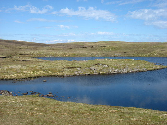
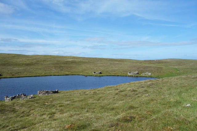
Loch of Huxter

Loch of Huxter is a loch of southeastern Whalsay, Shetland Islands, Scotland, to the southwest of the village of Huxter. There is a water pumping station...

Loch of Livister

Loch of Livister is a loch of southern-central Whalsay, Shetland Islands, Scotland, located to the north of the Loch of Huxter. Though the Loch of Livister...

Treawick

Treawick, also Traewick, is an uninhabited crofting village in eastern Whalsay in the parish of Nesting in the Shetland Islands of Scotland. It is located...
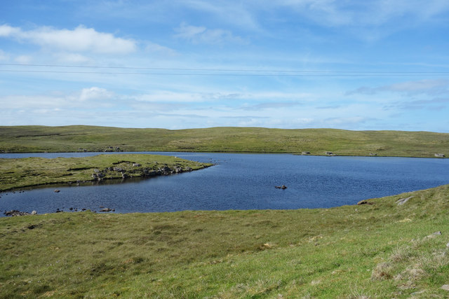
Nuckro Water

Nuckro Water is a loch of southeastern Whalsay, Shetland Islands, Scotland. It is located to the east of the Loch of Stanefield, northwest of Treawick...

Loch of Stanefield

Loch of Stanefield is a small loch of southern-central Whalsay, Shetland Islands, Scotland. It is located to the northeast of the Loch of Livister, west...

Have you been to Gorsendi Geo?

Leave your review of Gorsendi Geo below (or comments, questions and feedback).