Corbie Geo
Coastal Feature, Headland, Point in Shetland
Scotland
Corbie Geo

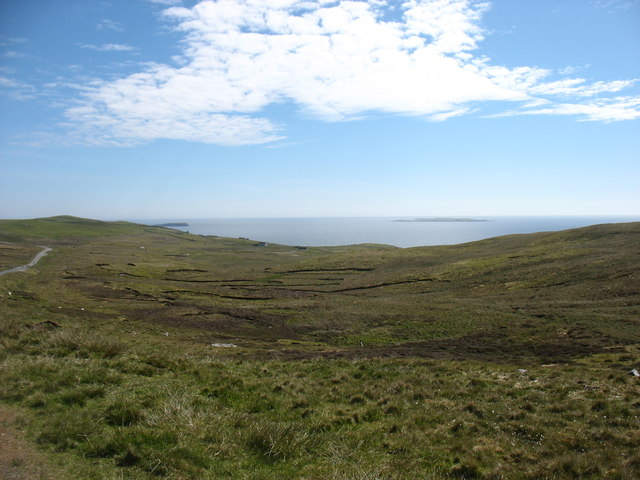
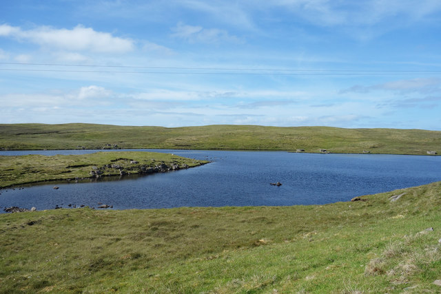
Corbie Geo is a prominent coastal feature located in Shetland, Scotland. It is classified as a headland or point due to its distinctive geographical characteristics. Corbie Geo is situated on the west coast of Shetland's mainland, near the village of Walls.
The headland is formed by a steep cliff face that rises vertically from the sea, creating an imposing and dramatic landscape. The cliffs are composed of rugged, weathered rock formations, showcasing layers of sedimentary rock that have been shaped by years of erosion from the powerful North Atlantic Ocean. The exposed cliffs provide a glimpse into the geological history of the area.
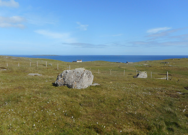
Corbie Geo is known for its stunning panoramic views of the surrounding coastline and the vast expanse of the ocean. The headland offers a perfect vantage point for observing seabird colonies that nest along the cliffs, including gannets, puffins, and fulmars. These bird colonies add to the natural beauty and biodiversity of the area, making it a popular destination for birdwatchers and nature enthusiasts.
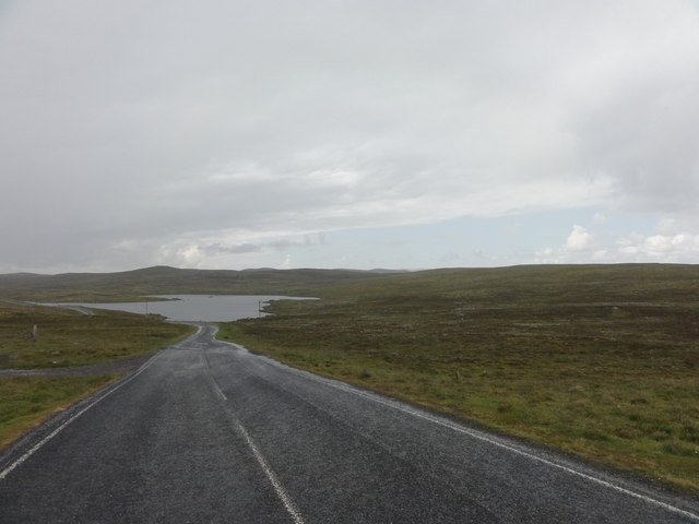
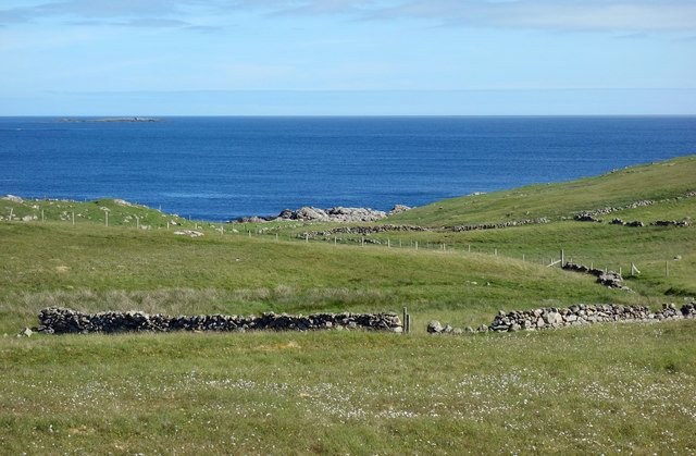
The headland is accessible via a coastal footpath that winds its way along the cliff tops, offering visitors the opportunity to explore the area and admire the natural scenery up close. The footpath also provides access to nearby beaches and coves, allowing visitors to fully experience the diverse coastal landscape of Corbie Geo.
Overall, Corbie Geo is a remarkable coastal feature in Shetland, known for its rugged cliffs, stunning views, and abundant wildlife. It is a must-visit destination for those seeking to immerse themselves in the natural beauty and tranquility of the Scottish coast.
If you have any feedback on the listing, please let us know in the comments section below.
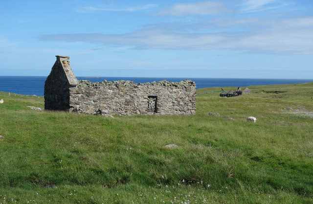
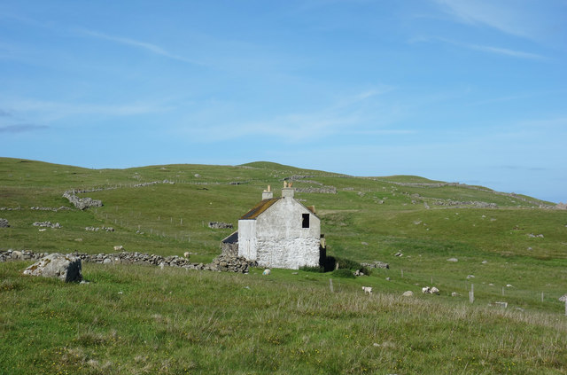
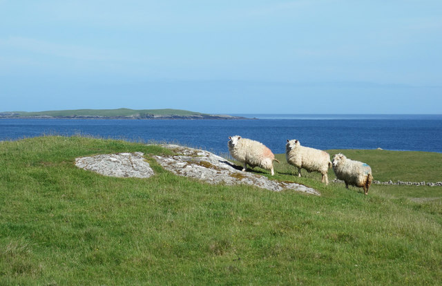
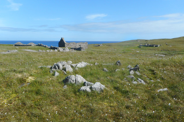
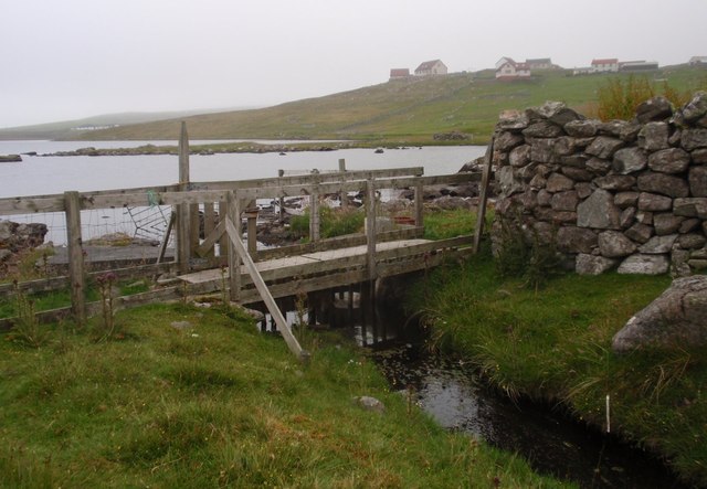
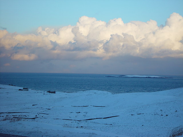
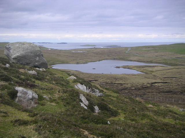
Corbie Geo Images
Images are sourced within 2km of 60.334592/-0.97652668 or Grid Reference HU5661. Thanks to Geograph Open Source API. All images are credited.


Corbie Geo is located at Grid Ref: HU5661 (Lat: 60.334592, Lng: -0.97652668)
Unitary Authority: Shetland Islands
Police Authority: Highlands and Islands
What 3 Words
///nests.resurgent.closer. Near Symbister, Shetland Islands
Nearby Locations
Related Wikis

Whalsay
Whalsay (Scots: Whalsa; Old Norse: Hvalsey or Hvals-øy, meaning 'Whale Island') is the sixth largest of the Shetland Islands in the north of Scotland....

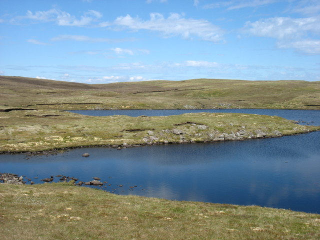
Loch of Huxter
Loch of Huxter is a loch of southeastern Whalsay, Shetland Islands, Scotland, to the southwest of the village of Huxter. There is a water pumping station...

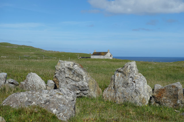
Huxter
Huxter is a crofting township in southeastern Whalsay in the parish of Nesting in the Shetland islands of Scotland. It lies to the east of Symbister, just...

Breiwick Burn
Breiwick Burn is a burn (stream) in southeastern Whalsay, Shetland Islands, Scotland. The source of the stream is in the Ward of Clette, to the northeast...
Falsa Burn
Falsa Burn is a burn (stream) of southeastern Whalsay, Shetland Islands, Scotland. Roughly 600 metres (2,000 ft) in length, it ends near the sea to the...

Loch of Livister
Loch of Livister is a loch of southern-central Whalsay, Shetland Islands, Scotland, located to the north of the Loch of Huxter. Though the Loch of Livister...
Treawick
Treawick, also Traewick, is an uninhabited crofting village in eastern Whalsay in the parish of Nesting in the Shetland Islands of Scotland. It is located...
Nuckro Water
Nuckro Water is a loch of southeastern Whalsay, Shetland Islands, Scotland. It is located to the east of the Loch of Stanefield, northwest of Treawick...
Have you been to Corbie Geo?
Leave your review of Corbie Geo below (or comments, questions and feedback).