East Meoness Geo
Coastal Feature, Headland, Point in Shetland
Scotland
East Meoness Geo

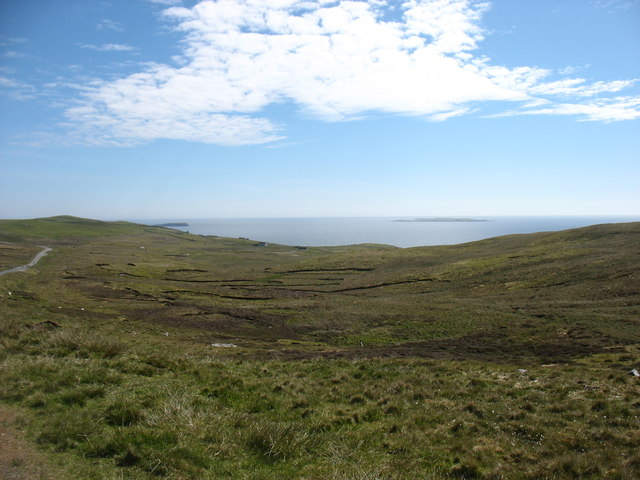
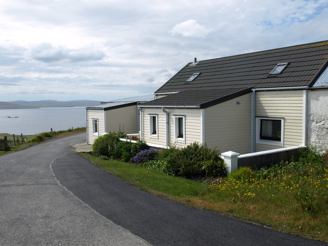
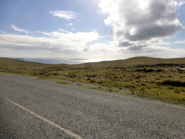
East Meoness Geo is a prominent coastal feature located in the Shetland Islands, which are part of Scotland. It is a headland that extends out into the North Sea, forming a distinctive point along the coastline. The geo is situated on the eastern side of the Shetland Mainland, near the village of Scalloway.
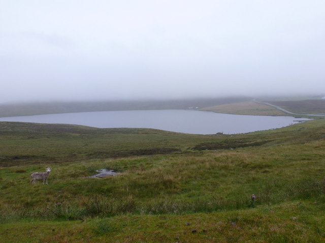
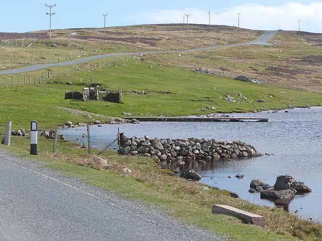
The geo is characterized by its rugged and rocky terrain, with steep cliffs that rise up from the sea. These cliffs are composed of layers of sedimentary rock, showcasing the geological history of the area. The exposed rocks often exhibit various colors, ranging from shades of gray to brown and red, adding to the natural beauty of the landscape.
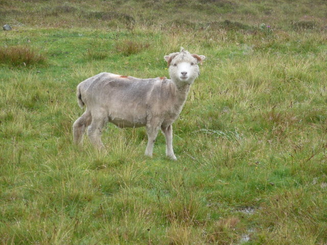
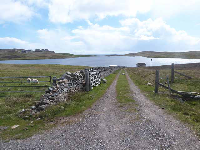
East Meoness Geo is a popular destination for nature enthusiasts and hikers due to its stunning views and abundant wildlife. The surrounding waters are known to be home to a variety of seabirds, including puffins, guillemots, and fulmars. Visitors may also catch a glimpse of seals and otters, which can often be spotted near the coastal area.
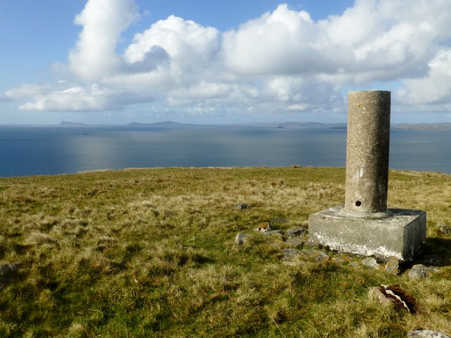
The geo offers panoramic views of the North Sea, with the horizon stretching out into the distance. On a clear day, the neighboring islands of Bressay and Noss can be seen from the headland, adding to the picturesque scenery.
Overall, East Meoness Geo is a captivating coastal feature in the Shetland Islands, offering visitors a chance to immerse themselves in the natural beauty and geological wonders of the area.
If you have any feedback on the listing, please let us know in the comments section below.
East Meoness Geo Images
Images are sourced within 2km of 60.330211/-0.986081 or Grid Reference HU5661. Thanks to Geograph Open Source API. All images are credited.


East Meoness Geo is located at Grid Ref: HU5661 (Lat: 60.330211, Lng: -0.986081)
Unitary Authority: Shetland Islands
Police Authority: Highlands and Islands
What 3 Words
///locate.slept.deliver. Near Symbister, Shetland Islands
Nearby Locations
Related Wikis

Whalsay
Whalsay (Scots: Whalsa; Old Norse: Hvalsey or Hvals-øy, meaning 'Whale Island') is the sixth largest of the Shetland Islands in the north of Scotland....

Breiwick Burn
Breiwick Burn is a burn (stream) in southeastern Whalsay, Shetland Islands, Scotland. The source of the stream is in the Ward of Clette, to the northeast...

Loch of Huxter
Loch of Huxter is a loch of southeastern Whalsay, Shetland Islands, Scotland, to the southwest of the village of Huxter. There is a water pumping station...

Huxter
Huxter is a crofting township in southeastern Whalsay in the parish of Nesting in the Shetland islands of Scotland. It lies to the east of Symbister, just...

Loch of Livister
Loch of Livister is a loch of southern-central Whalsay, Shetland Islands, Scotland, located to the north of the Loch of Huxter. Though the Loch of Livister...
Falsa Burn
Falsa Burn is a burn (stream) of southeastern Whalsay, Shetland Islands, Scotland. Roughly 600 metres (2,000 ft) in length, it ends near the sea to the...
Sodom, Shetland
Sodom (known locally as Sudheim) is a settlement on Whalsay, Shetland. The name is a corruption of the Old Norse Suðheim meaning "south home". It was formerly...

Clate
Clate (also known as Clett) is a hamlet and ward in southwestern Whalsay in the parish of Nesting in the Shetland Islands of Scotland. == Geography... ==
Have you been to East Meoness Geo?
Leave your review of East Meoness Geo below (or comments, questions and feedback).