Grey Kame
Coastal Feature, Headland, Point in Shetland
Scotland
Grey Kame
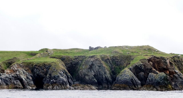
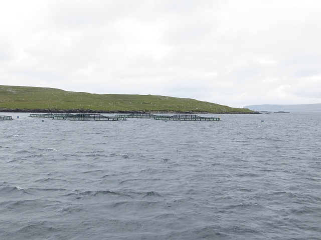
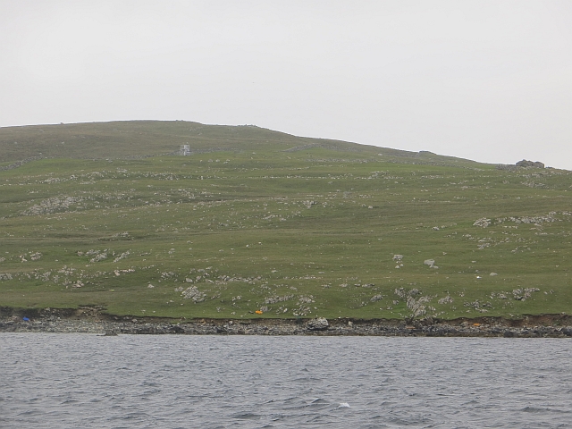
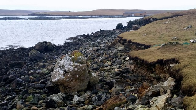
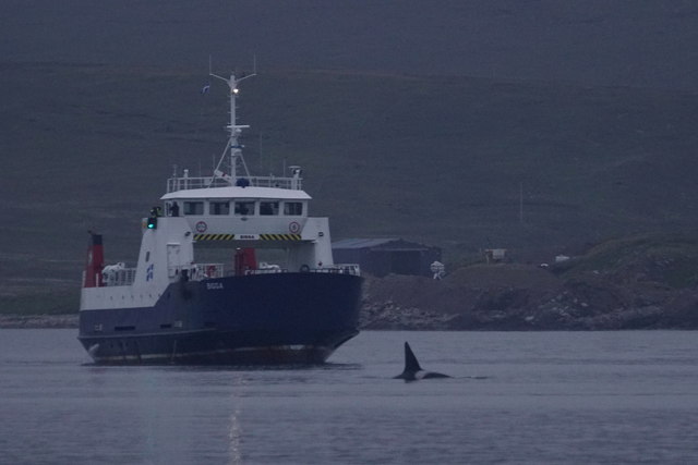
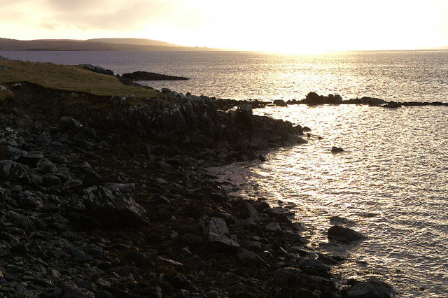
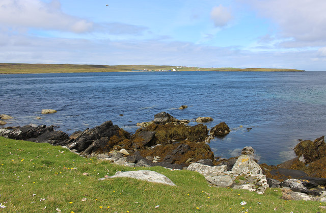
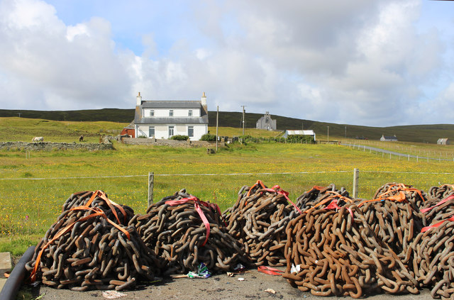
Grey Kame is a prominent coastal feature located on the Shetland Islands, an archipelago in the North Atlantic Ocean. This geological formation takes the form of a headland or point, jutting out into the surrounding sea. It is situated on the northernmost part of the Shetland mainland, offering breathtaking views of the surrounding rugged coastline and the vast expanse of the Atlantic Ocean.
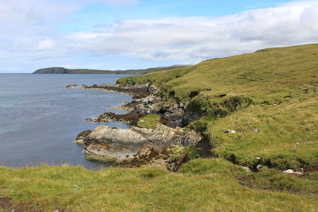
The name "Grey Kame" is derived from the Old Norse word "kammr," meaning a ridge or crest. This is an apt description of the physical features of this formation, as it is characterized by a high, steep ridge that extends from the mainland into the sea. The ridge is composed of compacted glacial till, a mixture of clay, sand, gravel, and boulders left behind by retreating glaciers during the last ice age.
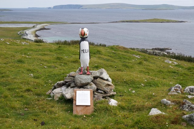
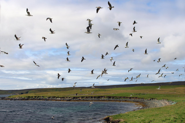
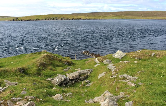
The Grey Kame headland is known for its dramatic cliffs, which rise to impressive heights and are often battered by the relentless waves of the ocean. The exposed nature of the site makes it a popular destination for birdwatchers, as it provides a perfect vantage point for observing a variety of seabirds, including puffins, guillemots, and razorbills.
In addition to its natural beauty, Grey Kame holds historical significance. It is believed to have been used as a lookout point during Viking times, providing strategic views of approaching ships and potential threats. The headland's prominent position and commanding views have also made it a landmark for navigation throughout the centuries.
Overall, Grey Kame is a remarkable coastal feature on the Shetland Islands, offering both natural beauty and historical significance. It is a place where visitors can immerse themselves in the ruggedness of the Shetland landscape and witness the power of the North Atlantic Ocean firsthand.
If you have any feedback on the listing, please let us know in the comments section below.
Grey Kame Images
Images are sourced within 2km of 60.693995/-0.97531235 or Grid Reference HP5601. Thanks to Geograph Open Source API. All images are credited.

Grey Kame is located at Grid Ref: HP5601 (Lat: 60.693995, Lng: -0.97531235)
Unitary Authority: Shetland Islands
Police Authority: Highlands and Islands
What 3 Words
///starlight.smallest.playfully. Near Uyeasound, Shetland Islands
Nearby Locations
Related Wikis

Belmont House, Shetland
Belmont House is a neo classical Georgian Country House Estate on the island of Unst, the most northerly of the Shetland Islands, [United Kingdom] and...
Belmont, Shetland
Belmont is a settlement and ferry terminal in southern Unst in the Shetland Islands. The ferry crosses from here to Gutcher in Yell and to Hamars Ness...

Bluemull Sound
Bluemull Sound is the strait between Unst and Yell in Shetland's North Isles. A ferry service crosses it regularly. Cullivoe is on the Yell side, and the...

Cullivoe
Cullivoe (Old Norse: Kollavágr - Bay of Kolli), is a village on Yell in the Shetland Islands. It is in the north east of the island, near Bluemull Sound...

St Olaf's Church, Unst
St Olaf's Church, Unst is a ruined medieval church located on the island of Unst, in Shetland, Scotland, UK. The church was built in the Celtic style,...

Gutcher
Gutcher is a settlement on the northeast coast of Yell in the Shetland islands. From here, rollon/roll off ferry services to Belmont on Unst and Hamars...

Linga, Bluemull Sound
Linga is a very small uninhabited island in the Bluemull Sound, Shetland, Scotland. It is one of many islands in Shetland called Linga. It has an area...

Uyeasound
Uyeasound is a village on the Isle of Unst, the northernmost island of the Shetland Islands, Scotland. It takes its name from the neighbouring strait of...
Nearby Amenities
Located within 500m of 60.693995,-0.97531235Have you been to Grey Kame?
Leave your review of Grey Kame below (or comments, questions and feedback).