Anchor Geo

Coastal Feature, Headland, Point in Shetland

Scotland

Anchor Geo

The Whalsay ferry, MV Linga, leaving Symbister pier Bound for Laxo on Shetland Mainland.
The Whalsay ferry, MV Linga, leaving Symbister pier Credit: David Purchase

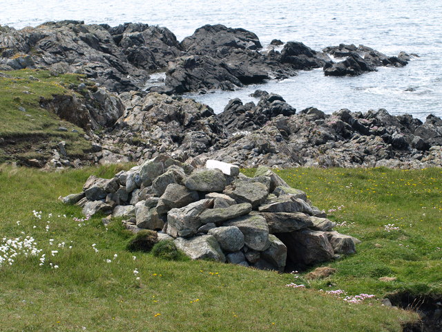
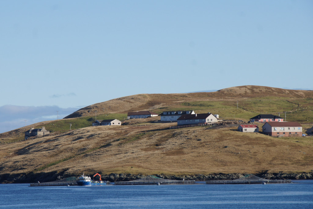
Anchor Geo is a prominent coastal feature located in Shetland, Scotland. It is classified as a headland or point due to its distinct geographical characteristics. The name "Anchor Geo" reflects its shape, resembling the fluke of an anchor when viewed from a distance.

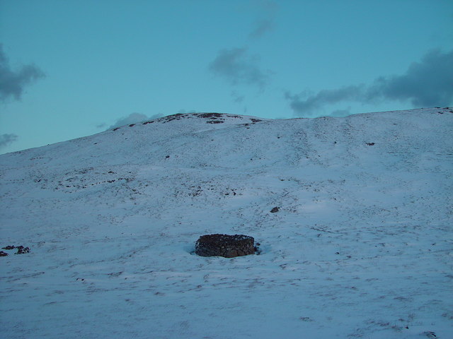
Situated along the rugged coastline, Anchor Geo juts out into the North Sea, offering breathtaking views of the surrounding landscape. The headland is characterized by steep cliffs that rise vertically from the water, reaching impressive heights. These cliffs are composed of sedimentary rock formations, which have been sculpted over time by the relentless force of the crashing waves.

The area surrounding Anchor Geo is notable for its diverse wildlife and rich marine ecosystem. Seabirds, including puffins, gannets, and kittiwakes, can often be observed nesting and soaring above the cliffs. The waters below are home to a variety of marine species, such as seals and dolphins, which can sometimes be seen swimming close to the headland.

Due to its striking beauty and unique geological features, Anchor Geo has become a popular destination for tourists and nature enthusiasts. It offers opportunities for hiking and wildlife spotting, as well as photography and painting. The headland is also a favored spot for birdwatchers, who flock to the area to observe the nesting seabirds during breeding season.

Overall, Anchor Geo is a remarkable coastal feature in Shetland, known for its dramatic cliffs, stunning views, and abundant wildlife. It serves as a testament to the natural wonders that can be found along the Scottish coastline.

If you have any feedback on the listing, please let us know in the comments section below.
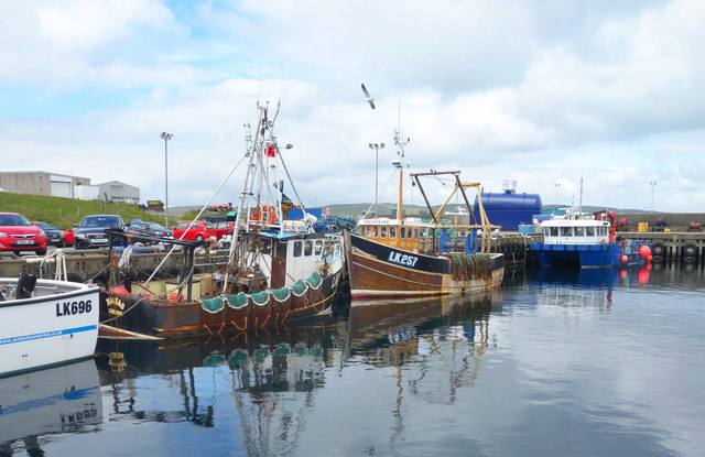
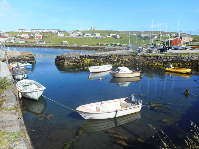
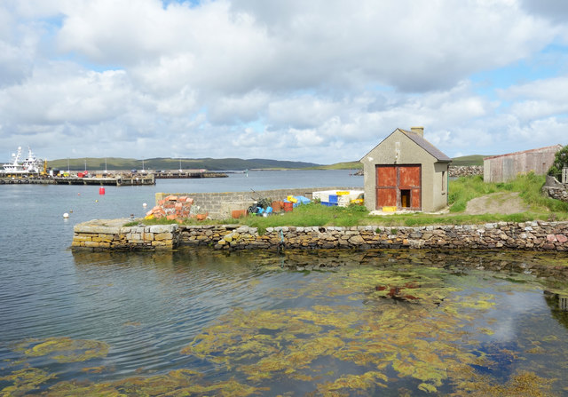
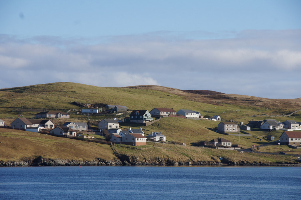
Anchor Geo Images

Images are sourced within 2km of 60.348216/-1.0173772 or Grid Reference HU5463. Thanks to Geograph Open Source API. All images are credited.

The Whalsay ferry, MV Linga, leaving Symbister pier Bound for Laxo on Shetland Mainland.
The Whalsay ferry, MV Linga, leaving Symbister pier
Bound for Laxo on Shetland Mainland.
The summit of Ward of Clett, Whalsay Well, this is what everyone would think is the summit. But the purists maintain that the true highest point is a little way to the north-east, at HU55046148.
The summit of Ward of Clett, Whalsay
Well, this is what everyone would think is the summit. But the purists maintain that the true highest point is a little way to the north-east, at HU55046148.
Descending to Clate On the way down from Ward of Clett, the highest point on Whalsay.
Descending to Clate
On the way down from Ward of Clett, the highest point on Whalsay.
Loch of Huxter, Whalsay One of four lochs on Whalsay of similar size. I would estimate that this is the largest.
Loch of Huxter, Whalsay
One of four lochs on Whalsay of similar size. I would estimate that this is the largest.
Approaching Symbister, Whalsay A rare stretch of road on Whalsay which does not need passing places!
Approaching Symbister, Whalsay
A rare stretch of road on Whalsay which does not need passing places!
A field at Marrister, Whalsay Daisies in profusion.
A field at Marrister, Whalsay
Daisies in profusion.
North Voe, Symbister, Whalsay Is there a South Voe? Not on the map, but I could well imagine that the harbour where the ferry from Mainland comes in has this name.
North Voe, Symbister, Whalsay
Is there a South Voe? Not on the map, but I could well imagine that the harbour where the ferry from Mainland comes in has this name.
Otter House An Otter House, Point of Gruid, Symbister Ness, Whalsay.
Otter House
An Otter House, Point of Gruid, Symbister Ness, Whalsay.
A Cottage A Cottage at the turning space, Clate, Whalsay
A Cottage
A Cottage at the turning space, Clate, Whalsay
Rocks and Old Iron, Loch of Huxter A beautiful small loch near Symbister. The thing on the rock looks like part of an old stove.
Rocks and Old Iron, Loch of Huxter
A beautiful small loch near Symbister. The thing on the rock looks like part of an old stove.
Loch of Huxter
Loch of Huxter
Whalsay Leisure Centre
View at Symbister The eastern part of Symbister. Sodom, according to the map.
View at Symbister
The eastern part of Symbister. Sodom, according to the map.
Pier House Museum, Symbister Whalsay's most photographed building. The museum details Shetland's connections with the Hanseatic League, from a time when trade links with Europe didn't generate so much hot air. <span class="nowrap"><a title="https://en.wikipedia.org/wiki/Pier_House_Museum" rel="nofollow ugc noopener" href="https://en.wikipedia.org/wiki/Pier_House_Museum">Link</a><img style="margin-left:2px;" alt="External link" title="External link - shift click to open in new window" src="https://s1.geograph.org.uk/img/external.png" width="10" height="10"/></span>
Pier House Museum, Symbister
Whalsay's most photographed building. The museum details Shetland's connections with the Hanseatic League, from a time when trade links with Europe didn't generate so much hot air. LinkExternal link
Fishing Boats, Symbister
Symbister House A mansion built in 1823 for the owners of Whalsay, the Bruce family. According to this article <span class="nowrap"><a title="https://en.wikipedia.org/wiki/Symbister_House" rel="nofollow ugc noopener" href="https://en.wikipedia.org/wiki/Symbister_House">Link</a><img style="margin-left:2px;" alt="External link" title="External link - shift click to open in new window" src="https://s1.geograph.org.uk/img/external.png" width="10" height="10"/></span> they were an obnoxious bunch.
The house is now used by Whalsay secondary school.
Symbister House
A mansion built in 1823 for the owners of Whalsay, the Bruce family. According to this article LinkExternal link they were an obnoxious bunch. The house is now used by Whalsay secondary school.
Small Boat Harbour, Symbister In a corner of the main harbour is an inner haven for small craft.
Small Boat Harbour, Symbister
In a corner of the main harbour is an inner haven for small craft.
The Next Hut Along I am standing beside the historic and much photographed Pier House Museum looking towards a similar location just a short distance away which also features a building on a small stone pier. The scene is somewhat less picturesque.
The Next Hut Along
I am standing beside the historic and much photographed Pier House Museum looking towards a similar location just a short distance away which also features a building on a small stone pier. The scene is somewhat less picturesque.
Show me another place!

Anchor Geo is located at Grid Ref: HU5463 (Lat: 60.348216, Lng: -1.0173772)

Unitary Authority: Shetland Islands

Police Authority: Highlands and Islands

What 3 Words

///gliders.loyal.clearcut. Near Symbister, Shetland Islands

Related Wikis

Hamister

Hamister is a village in southwestern Whalsay in the parish of Nesting in the Shetland Islands of Scotland. It lies to the north of Symbister, just to...

North Park, Whalsay

North Park is a hamlet in southwestern Whalsay in the parish of Nesting in the Shetland Islands of Scotland. It lies to the north of Saltness and Symbister...

Saltness

Saltness is a hamlet in southwestern Whalsay in the parish of Nesting in the Shetland Islands of Scotland. It lies in the northern part of Symbister, just...

Sodom, Shetland

Sodom (known locally as Sudheim) is a settlement on Whalsay, Shetland. The name is a corruption of the Old Norse SuĂ°heim meaning "south home". It was formerly...

Pier House Museum

The Pier House Museum is a museum in Symbister, Whalsay, in the Shetland Islands of Scotland. The museum is located in the old Pier House, which was once...
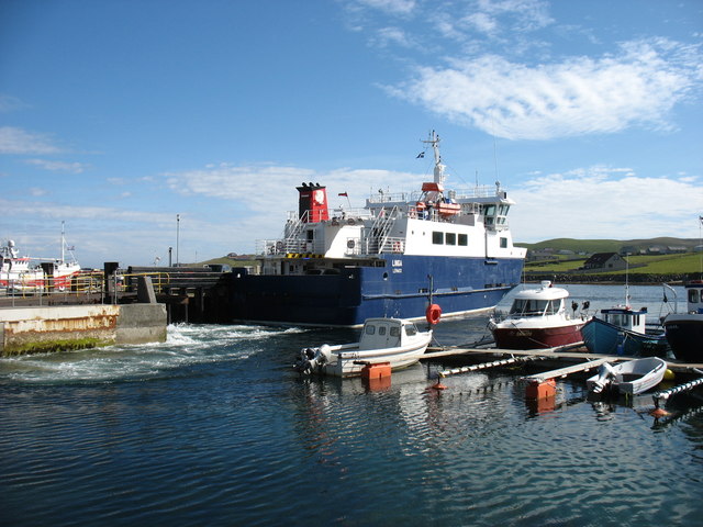
Symbister

Symbister is the largest village and port on Whalsay, an island in the Shetland archipelago of Scotland. The population in 1991 was 797. The focus of the...

Setter Hill, Whalsay

Setter Hill is a hill in western Whalsay, Shetland Islands, Scotland. It lies to the southeast of the village of Marrister and northeast of the main village...

Skate of Marrister

The Skate of Marrister is a flat ledge that extends about 300 yards (270 m) from the western shore of Whalsay, in the Shetland islands of Scotland. It...

Nearby Amenities

Located within 500m of 60.348216,-1.0173772
Barrier: cattle_grid
Lat/Long: 60.3444264/-1.0175263
Barrier: cattle_grid
Lat/Long: 60.3478822/-1.013967
Hamister
Is In: Shetland
Place: hamlet
Source: OS OpenData StreetView
Lat/Long: 60.3477511/-1.0113588
Barrier: cattle_grid
Lat/Long: 60.347538/-1.0115126
Bus Stop
Bus: yes
Public Transport: platform
Lat/Long: 60.3516976/-1.0173646
North Park
Place: hamlet
Lat/Long: 60.3494314/-1.0171484
Norrendal
Place: hamlet
Lat/Long: 60.3509984/-1.0157867
Bus Stop
Bus: yes
Public Transport: platform
Lat/Long: 60.3478752/-1.0142725
Barrier: cattle_grid
Lat/Long: 60.3488063/-1.0137045
Saltness
Place: hamlet
Lat/Long: 60.3447866/-1.0210452
Power: pole
Lat/Long: 60.3447243/-1.0129104
Power: pole
Lat/Long: 60.3453958/-1.0130421
Power: pole
Lat/Long: 60.3462151/-1.0131864
Power: pole
Lat/Long: 60.3466799/-1.0132675
Power: pole
Lat/Long: 60.3473639/-1.0133941
Power: pole
Lat/Long: 60.3480378/-1.0139233
Power: pole
Lat/Long: 60.3483861/-1.0142094
Power: pole
Lat/Long: 60.3489097/-1.0146297
Power: pole
Lat/Long: 60.3496487/-1.0148019
Power: pole
Lat/Long: 60.3502775/-1.0149259
Power: pole
Lat/Long: 60.3508976/-1.0150576
Power: pole
Lat/Long: 60.3514537/-1.0151994
Power: pole
Lat/Long: 60.3520399/-1.0153159
Power: pole
Lat/Long: 60.352571/-1.0154121
Power: pole
Lat/Long: 60.344242/-1.0143461
Power: pole
Lat/Long: 60.3468502/-1.0097302
Power: pole
Lat/Long: 60.3471722/-1.0108848
Power: pole
Lat/Long: 60.3475242/-1.012123
Power: pole
Lat/Long: 60.3477359/-1.0128598
Power: pole
Lat/Long: 60.3499969/-1.0174023
Power: pole
Lat/Long: 60.3498166/-1.0161084
Power: pole
Lat/Long: 60.3516892/-1.017063
Power: pole
Lat/Long: 60.3521664/-1.0177568
Power: pole
Lat/Long: 60.352115/-1.0180353
Power: pole
Lat/Long: 60.3523918/-1.0164705
The data included in this document is from www.openstreetmap.org. The data is made available under ODbL.

Have you been to Anchor Geo?

Leave your review of Anchor Geo below (or comments, questions and feedback).