Hundi Geo
Coastal Feature, Headland, Point in Shetland
Scotland
Hundi Geo
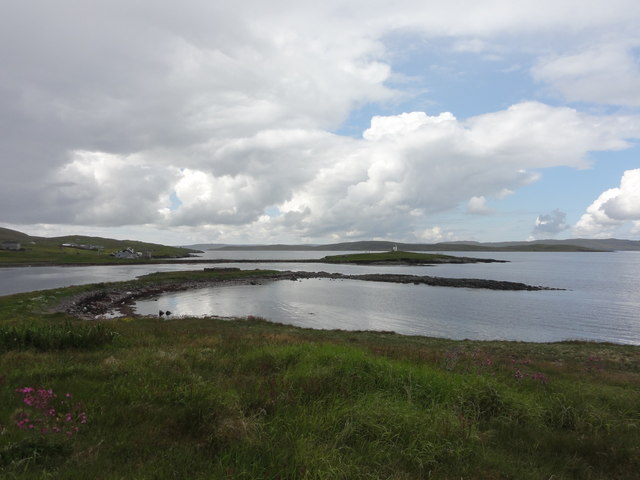
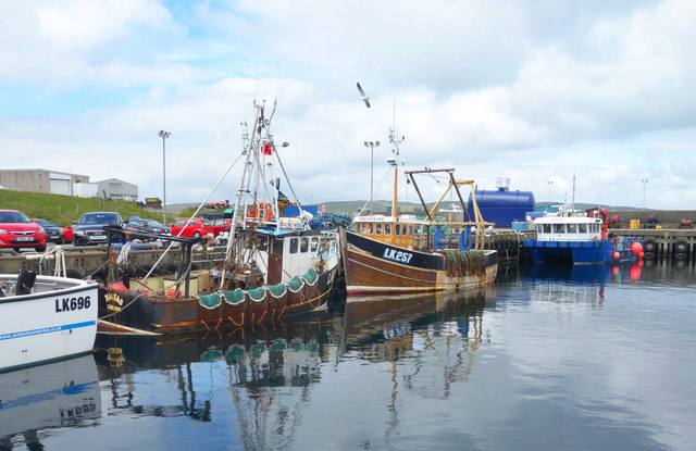
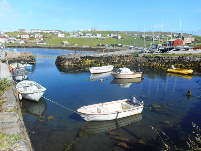
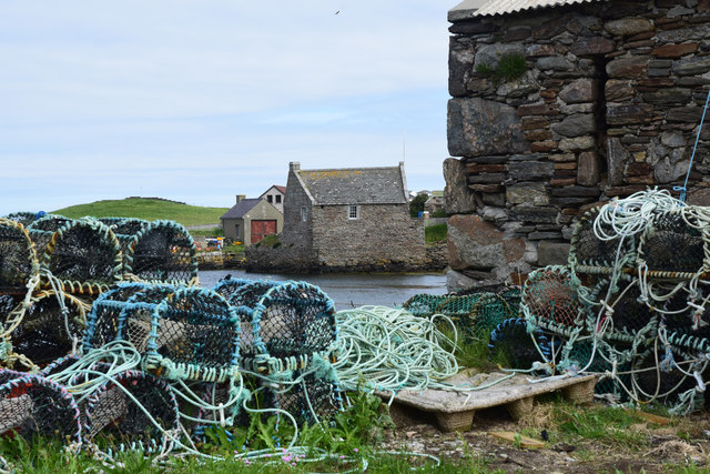
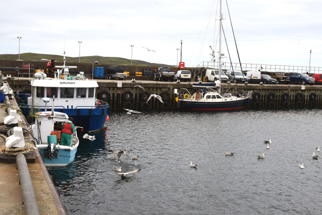
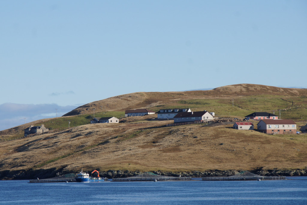
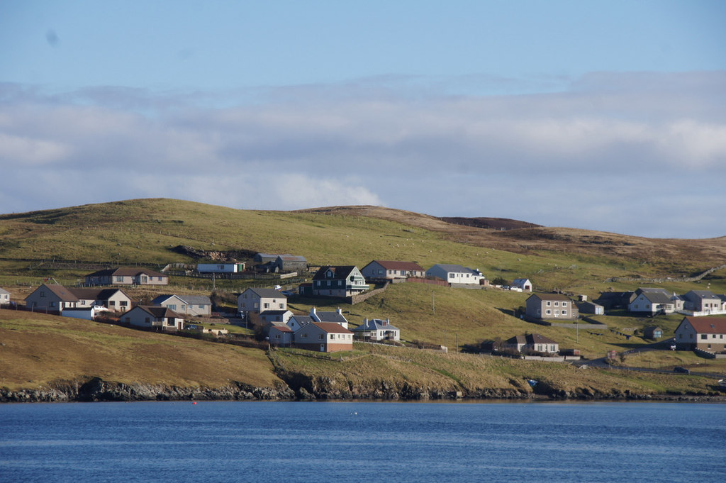
Hundi Geo is a prominent coastal feature located on the island of Shetland, Scotland. It is a headland that juts out into the North Sea, forming a distinctive point along the island's coastline. The word "Geo" is a local term used to describe a narrow inlet or cove, and Hundi Geo perfectly fits this description.
This coastal feature is known for its rugged beauty and dramatic cliffs, which tower high above the crashing waves below. The cliffs are composed of layers of sedimentary rock, showcasing the geological history of the area. The exposed rock formations provide a fascinating insight into the island's ancient past.
Hundi Geo is also a popular spot for wildlife enthusiasts and birdwatchers. The cliffs provide nesting sites for numerous species of seabirds, including puffins, fulmars, and guillemots. Visitors can witness these beautiful creatures in their natural habitat, soaring above the sea or perched on the cliff ledges.
The location of Hundi Geo also offers breathtaking panoramic views of the surrounding coastline and the vast expanse of the North Sea. On a clear day, visitors can see the distant horizon, with the waves stretching out as far as the eye can see.
Access to Hundi Geo is relatively easy, with a well-defined path leading to the headland. However, caution is advised as the cliffs can be steep and unstable in some areas. It is also essential to respect the wildlife and natural environment, as Hundi Geo is a protected area.
Overall, Hundi Geo is a remarkable coastal feature that showcases the natural beauty and ecological diversity of Shetland. Its rugged cliffs, rich wildlife, and stunning views make it a must-visit destination for nature lovers and those seeking a true Scottish coastal experience.
If you have any feedback on the listing, please let us know in the comments section below.
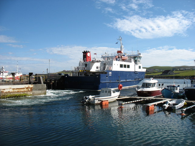
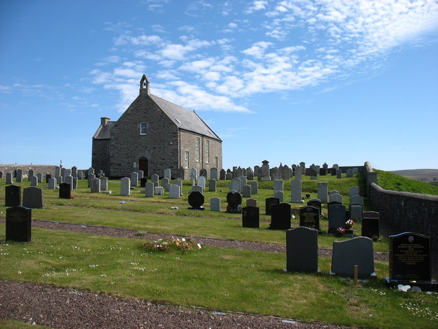
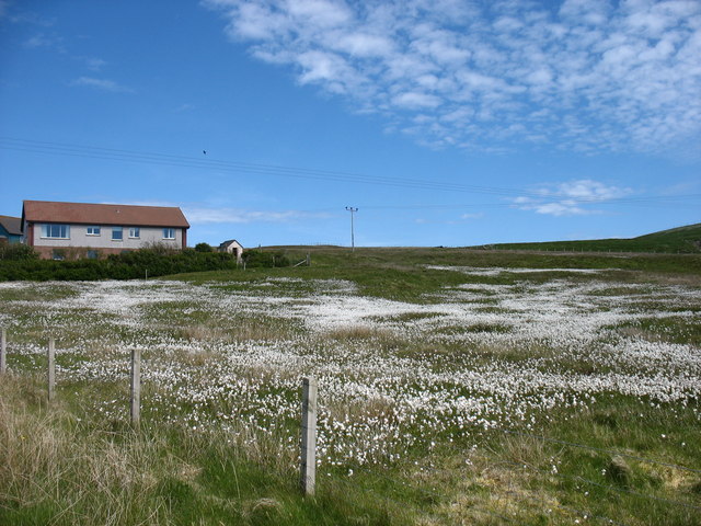
Hundi Geo Images
Images are sourced within 2km of 60.357797/-1.0186659 or Grid Reference HU5464. Thanks to Geograph Open Source API. All images are credited.


Hundi Geo is located at Grid Ref: HU5464 (Lat: 60.357797, Lng: -1.0186659)
Unitary Authority: Shetland Islands
Police Authority: Highlands and Islands
What 3 Words
///veered.amplified.finishing. Near Symbister, Shetland Islands
Nearby Locations
Related Wikis

Marrister
Marrister is a settlement on the west coast of Whalsay in the parish of Nesting in the Shetland islands of Scotland. It looks across Linga Sound to the...

Skate of Marrister
The Skate of Marrister is a flat ledge that extends about 300 yards (270 m) from the western shore of Whalsay, in the Shetland islands of Scotland. It...
North Park, Whalsay
North Park is a hamlet in southwestern Whalsay in the parish of Nesting in the Shetland Islands of Scotland. It lies to the north of Saltness and Symbister...
Setter Hill, Whalsay
Setter Hill is a hill in western Whalsay, Shetland Islands, Scotland. It lies to the southeast of the village of Marrister and northeast of the main village...

Linga Sound, Shetland
Linga Sound is the strait between the islands of Whalsay and West Linga in the Shetland islands of Scotland. The sound has a depth of 11 to 12 fathoms...

Scarfmoor Burn
Scarfmoor Burn is a burn (stream) in western Whalsay, Shetland Islands, Scotland. The source of the stream is on the southeastern side of Setter Hill....

Tripwell
Tripwell is a hamlet in western Whalsay in the parish of Nesting in the Shetland islands of Scotland. It is located to the south of the village of Brough...
Hamister
Hamister is a village in southwestern Whalsay in the parish of Nesting in the Shetland Islands of Scotland. It lies to the north of Symbister, just to...
Nearby Amenities
Located within 500m of 60.357797,-1.0186659Have you been to Hundi Geo?
Leave your review of Hundi Geo below (or comments, questions and feedback).