Booth Skerry
Island in Shetland
Scotland
Booth Skerry
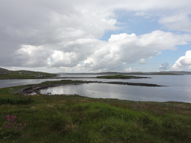
Booth Skerry is a small uninhabited island located off the coast of Shetland, an archipelago in Scotland. Situated in the North Atlantic Ocean, it lies about 190 miles northeast of mainland Scotland. The island is part of the Booth National Nature Reserve, managed by Scottish Natural Heritage.
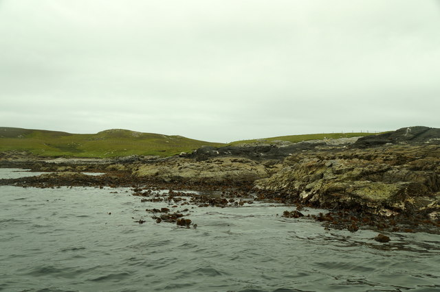
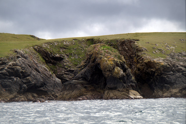
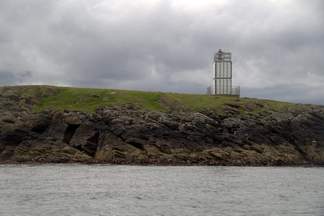
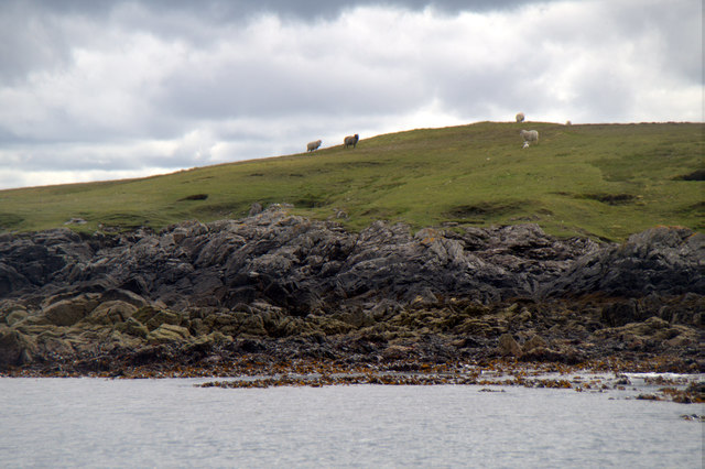
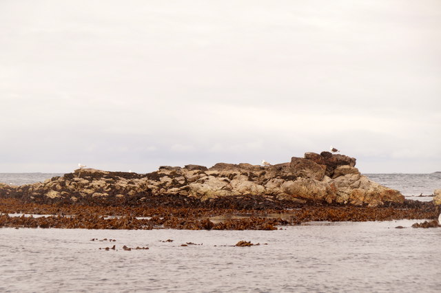
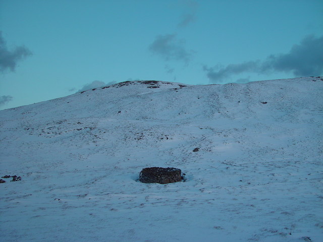
Booth Skerry covers an area of about 24 hectares and is characterized by its rugged and rocky terrain. The island is composed of ancient volcanic rock formations, with steep cliffs rising up to 50 meters above sea level. The coastline is jagged and indented, providing numerous nesting sites for seabirds.
The island is a crucial breeding ground for several bird species, most notably the globally significant colony of Arctic terns. These migratory birds travel thousands of miles from the Antarctic to breed on Booth Skerry during the summer months. Other seabirds that call the island home include puffins, guillemots, razorbills, and kittiwakes.
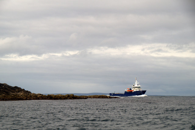
Booth Skerry is also notable for its rich marine life. The surrounding waters are teeming with diverse species, including seals, dolphins, and porpoises. The island's isolation and lack of human disturbance make it an important sanctuary for these marine mammals.
Due to its protected status, access to Booth Skerry is restricted, with no public landing facilities available. However, the island can still be observed and enjoyed from a distance, either from boats or from nearby viewpoints along the Shetland coastline.
In summary, Booth Skerry is a small and uninhabited island off the coast of Shetland, renowned for its rugged cliffs, important bird colonies, and thriving marine life.
If you have any feedback on the listing, please let us know in the comments section below.
Booth Skerry Images
Images are sourced within 2km of 60.360583/-1.0164795 or Grid Reference HU5464. Thanks to Geograph Open Source API. All images are credited.


Booth Skerry is located at Grid Ref: HU5464 (Lat: 60.360583, Lng: -1.0164795)
Unitary Authority: Shetland Islands
Police Authority: Highlands and Islands
What 3 Words
///passion.lilac.expired. Near Symbister, Shetland Islands
Nearby Locations
Related Wikis

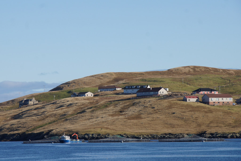
Marrister
Marrister is a settlement on the west coast of Whalsay in the parish of Nesting in the Shetland islands of Scotland. It looks across Linga Sound to the...

Skate of Marrister
The Skate of Marrister is a flat ledge that extends about 300 yards (270 m) from the western shore of Whalsay, in the Shetland islands of Scotland. It...

Linga Sound, Shetland
Linga Sound is the strait between the islands of Whalsay and West Linga in the Shetland islands of Scotland. The sound has a depth of 11 to 12 fathoms...
Setter Hill, Whalsay
Setter Hill is a hill in western Whalsay, Shetland Islands, Scotland. It lies to the southeast of the village of Marrister and northeast of the main village...
North Park, Whalsay
North Park is a hamlet in southwestern Whalsay in the parish of Nesting in the Shetland Islands of Scotland. It lies to the north of Saltness and Symbister...

Tripwell
Tripwell is a hamlet in western Whalsay in the parish of Nesting in the Shetland islands of Scotland. It is located to the south of the village of Brough...

Scarfmoor Burn
Scarfmoor Burn is a burn (stream) in western Whalsay, Shetland Islands, Scotland. The source of the stream is on the southeastern side of Setter Hill....

Brough, Shetland
Brough is a settlement in western Whalsay in the parish of Nesting in the Shetland islands of Scotland. It lies to the southwest of Challister, northeast...
Nearby Amenities
Located within 500m of 60.360583,-1.0164795Have you been to Booth Skerry?
Leave your review of Booth Skerry below (or comments, questions and feedback).