Marrister

Settlement in Shetland

Scotland

Marrister

The Whalsay ferry, MV Linga, leaving Symbister pier Bound for Laxo on Shetland Mainland.
The Whalsay ferry, MV Linga, leaving Symbister pier Credit: David Purchase

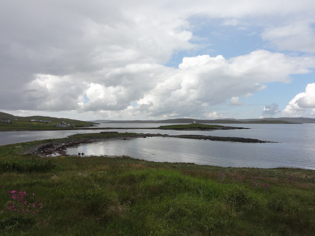
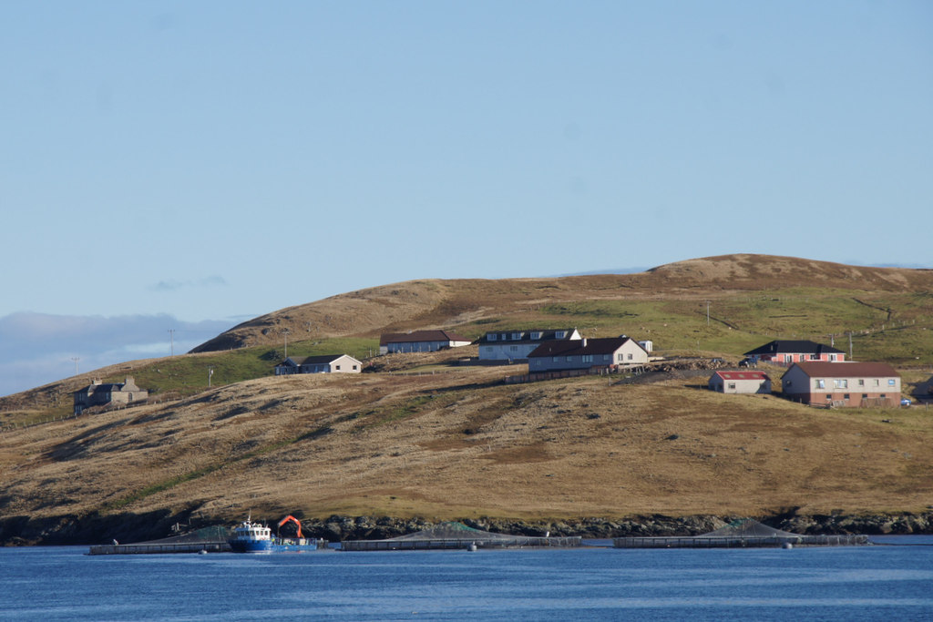
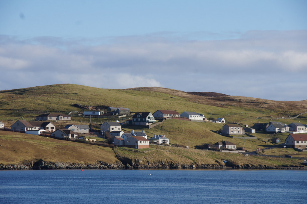
Marrister is a small village located on the island of Shetland, which is part of Scotland. It is situated in the northernmost region of the United Kingdom, approximately 200 miles off the northeast coast of mainland Scotland. Marrister is nestled along the western coast of the island, offering stunning views of the North Atlantic Ocean.

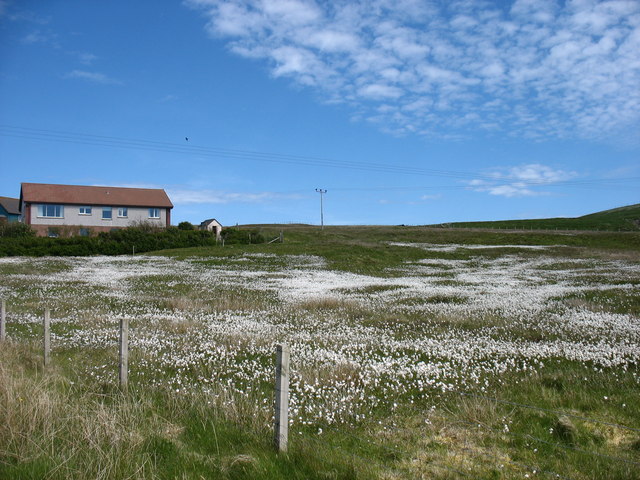
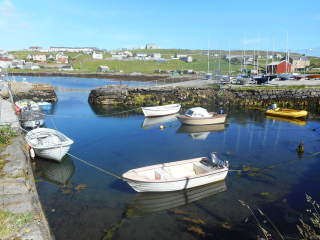
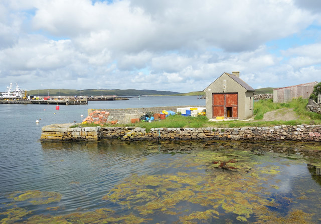
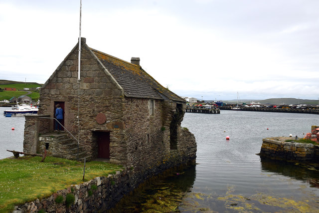
The village is known for its picturesque landscapes, characterized by rugged cliffs, pristine beaches, and rolling green hills. The surrounding area is rich in wildlife, serving as a habitat for various species of birds, seals, and even otters. Marrister is also renowned for its distinct flora, with heather and wildflowers painting the countryside in vibrant colors during the summer months.

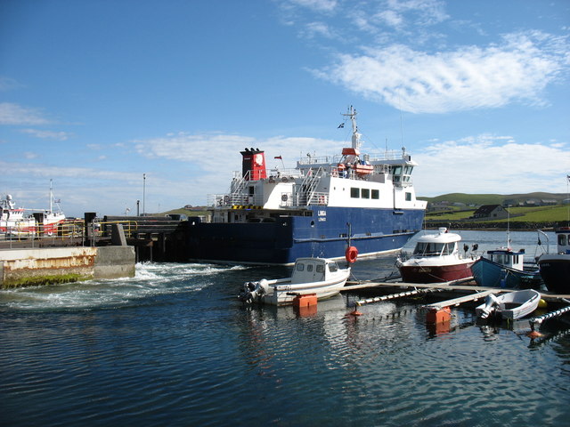
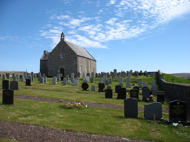
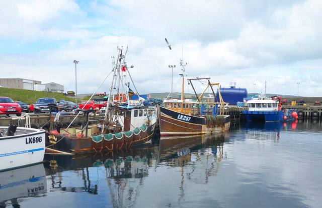
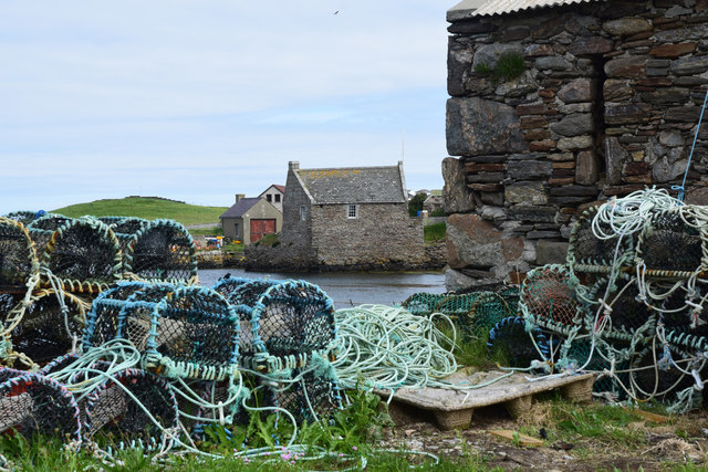
Despite its small size, Marrister offers a warm and welcoming community atmosphere. The village is home to a close-knit population, with residents who take pride in their heritage and local traditions. The village has a strong connection to its fishing history, with many families involved in the industry for generations.

Visitors to Marrister can enjoy a range of outdoor activities, including hiking along the nearby coastal trails, birdwatching, and fishing. The village is also a popular destination for those seeking a peaceful retreat, away from the hustle and bustle of city life.

With its breathtaking scenery and friendly community, Marrister is a hidden gem on the island of Shetland, offering a tranquil and authentic Scottish experience.

If you have any feedback on the listing, please let us know in the comments section below.

Marrister Images

Images are sourced within 2km of 60.355861/-1.015722 or Grid Reference HU5463. Thanks to Geograph Open Source API. All images are credited.

The Whalsay ferry, MV Linga, leaving Symbister pier Bound for Laxo on Shetland Mainland.
The Whalsay ferry, MV Linga, leaving Symbister pier
Bound for Laxo on Shetland Mainland.
Whalsay Kirk and graveyard The Kirk stands on Kirk Ness, a small islet joined to Whalsay by one of Shetland's splendid tombolas. Though actually I think this one has needed a bit of protection from time to time.
Whalsay Kirk and graveyard
The Kirk stands on Kirk Ness, a small islet joined to Whalsay by one of Shetland's splendid tombolas. Though actually I think this one has needed a bit of protection from time to time.
Houb and Suther Ness, Whalsay Suther Ness, with its beacon, is connected to the mainland of Whalsay. But you can't walk there direct from here, you have to approach from the left. Houb (on the left) would, I imagine, make a fine natural harbour were it not for the fact that the channel ahead which prevents a direct approach to Suther Ness is too shallow for all but the smallest craft (such as the little one seen here).
Houb and Suther Ness, Whalsay
Suther Ness, with its beacon, is connected to the mainland of Whalsay. But you can't walk there direct from here, you have to approach from the left. Houb (on the left) would, I imagine, make a fine natural harbour were it not for the fact that the channel ahead which prevents a direct approach to Suther Ness is too shallow for all but the smallest craft (such as the little one seen here).
The road to Brough, Whalsay
Approaching Symbister, Whalsay A rare stretch of road on Whalsay which does not need passing places!
Approaching Symbister, Whalsay
A rare stretch of road on Whalsay which does not need passing places!
A field at Marrister, Whalsay Daisies in profusion.
A field at Marrister, Whalsay
Daisies in profusion.
North Voe, Symbister, Whalsay Is there a South Voe? Not on the map, but I could well imagine that the harbour where the ferry from Mainland comes in has this name.
North Voe, Symbister, Whalsay
Is there a South Voe? Not on the map, but I could well imagine that the harbour where the ferry from Mainland comes in has this name.
Kirk Ness View from Kick Ness
Kirk Ness
View from Kick Ness
Rocks and Old Iron, Loch of Huxter A beautiful small loch near Symbister. The thing on the rock looks like part of an old stove.
Rocks and Old Iron, Loch of Huxter
A beautiful small loch near Symbister. The thing on the rock looks like part of an old stove.
Whalsay Leisure Centre
View at Symbister The eastern part of Symbister. Sodom, according to the map.
View at Symbister
The eastern part of Symbister. Sodom, according to the map.
Pier House Museum, Symbister Whalsay's most photographed building. The museum details Shetland's connections with the Hanseatic League, from a time when trade links with Europe didn't generate so much hot air. <span class="nowrap"><a title="https://en.wikipedia.org/wiki/Pier_House_Museum" rel="nofollow ugc noopener" href="https://en.wikipedia.org/wiki/Pier_House_Museum">Link</a><img style="margin-left:2px;" alt="External link" title="External link - shift click to open in new window" src="https://s1.geograph.org.uk/img/external.png" width="10" height="10"/></span>
Pier House Museum, Symbister
Whalsay's most photographed building. The museum details Shetland's connections with the Hanseatic League, from a time when trade links with Europe didn't generate so much hot air. LinkExternal link
Fishing Boats, Symbister
Symbister House A mansion built in 1823 for the owners of Whalsay, the Bruce family. According to this article <span class="nowrap"><a title="https://en.wikipedia.org/wiki/Symbister_House" rel="nofollow ugc noopener" href="https://en.wikipedia.org/wiki/Symbister_House">Link</a><img style="margin-left:2px;" alt="External link" title="External link - shift click to open in new window" src="https://s1.geograph.org.uk/img/external.png" width="10" height="10"/></span> they were an obnoxious bunch.
The house is now used by Whalsay secondary school.
Symbister House
A mansion built in 1823 for the owners of Whalsay, the Bruce family. According to this article LinkExternal link they were an obnoxious bunch. The house is now used by Whalsay secondary school.
Small Boat Harbour, Symbister In a corner of the main harbour is an inner haven for small craft.
Small Boat Harbour, Symbister
In a corner of the main harbour is an inner haven for small craft.
The Next Hut Along I am standing beside the historic and much photographed Pier House Museum looking towards a similar location just a short distance away which also features a building on a small stone pier. The scene is somewhat less picturesque.
The Next Hut Along
I am standing beside the historic and much photographed Pier House Museum looking towards a similar location just a short distance away which also features a building on a small stone pier. The scene is somewhat less picturesque.
Pier House Museum, Symbister, Whalsay, Shetland The Pier House was formerly a trading post for the Hanseatic League
Pier House Museum, Symbister, Whalsay, Shetland
The Pier House was formerly a trading post for the Hanseatic League
Symbister Pier House Museum Formerly a Hanseatic League trading post
Symbister Pier House Museum
Formerly a Hanseatic League trading post
Show me another place!

Marrister is located at Grid Ref: HU5463 (Lat: 60.355861, Lng: -1.015722)

Unitary Authority: Shetland Islands

Police Authority: Highlands and Islands

What 3 Words

///awaiting.clenching.position. Near Symbister, Shetland Islands

Related Wikis

Marrister

Marrister is a settlement on the west coast of Whalsay in the parish of Nesting in the Shetland islands of Scotland. It looks across Linga Sound to the...

Skate of Marrister

The Skate of Marrister is a flat ledge that extends about 300 yards (270 m) from the western shore of Whalsay, in the Shetland islands of Scotland. It...

North Park, Whalsay

North Park is a hamlet in southwestern Whalsay in the parish of Nesting in the Shetland Islands of Scotland. It lies to the north of Saltness and Symbister...

Setter Hill, Whalsay

Setter Hill is a hill in western Whalsay, Shetland Islands, Scotland. It lies to the southeast of the village of Marrister and northeast of the main village...

Hamister

Hamister is a village in southwestern Whalsay in the parish of Nesting in the Shetland Islands of Scotland. It lies to the north of Symbister, just to...

Scarfmoor Burn

Scarfmoor Burn is a burn (stream) in western Whalsay, Shetland Islands, Scotland. The source of the stream is on the southeastern side of Setter Hill....

Tripwell

Tripwell is a hamlet in western Whalsay in the parish of Nesting in the Shetland islands of Scotland. It is located to the south of the village of Brough...

Linga Sound, Shetland

Linga Sound is the strait between the islands of Whalsay and West Linga in the Shetland islands of Scotland. The sound has a depth of 11 to 12 fathoms...

Nearby Amenities

Located within 500m of 60.355861,-1.015722
Marrister
Is In: Shetland
Place: hamlet
Source: OS OpenData StreetView
Lat/Long: 60.3575681/-1.015245
Seamark Light Character: Fl
Seamark Light Colour: green
Seamark Light Height: 4
Seamark Light Period: 6
Seamark Light Range: 4
Seamark Light Reference: A 3803.8
Seamark Light Sequence: 0.3+(5.7)
Seamark Type: light_minor
Source: US NGA Pub. 114. 2011-05-26.
Lat/Long: 60.3559333/-1.0231
Barrier: cattle_grid
Lat/Long: 60.3546668/-1.0190199
Barrier: cattle_grid
Lat/Long: 60.3564856/-1.016471
Bus Stop
Bus: yes
Public Transport: platform
Lat/Long: 60.3516976/-1.0173646
Power: pole
Lat/Long: 60.3514537/-1.0151994
Power: pole
Lat/Long: 60.3520399/-1.0153159
Power: pole
Lat/Long: 60.352571/-1.0154121
Power: pole
Lat/Long: 60.3532786/-1.0155666
Power: pole
Lat/Long: 60.3538585/-1.0151817
Power: pole
Lat/Long: 60.3545123/-1.0147487
Power: pole
Lat/Long: 60.354992/-1.014417
Power: pole
Lat/Long: 60.3555292/-1.014065
Power: pole
Lat/Long: 60.3559914/-1.0137409
Power: pole
Lat/Long: 60.3566326/-1.0133054
Power: pole
Lat/Long: 60.3572562/-1.0128927
Power: pole
Lat/Long: 60.3574228/-1.0127813
Power: pole
Lat/Long: 60.3577872/-1.0125357
Power: pole
Lat/Long: 60.3582969/-1.0121888
Power: pole
Lat/Long: 60.3587778/-1.0118647
Power: pole
Lat/Long: 60.3592274/-1.0109228
Power: pole
Lat/Long: 60.3516892/-1.017063
Power: pole
Lat/Long: 60.3521664/-1.0177568
Power: pole
Lat/Long: 60.352115/-1.0180353
Power: pole
Lat/Long: 60.3523918/-1.0164705
Power: pole
Lat/Long: 60.3546926/-1.0188405
Power: pole
Lat/Long: 60.3542167/-1.0182708
Power: pole
Lat/Long: 60.3540852/-1.0171035
Power: pole
Lat/Long: 60.3539863/-1.0162249
Power: pole
Lat/Long: 60.3578398/-1.013979
Power: pole
Lat/Long: 60.3578962/-1.0153766
Power: pole
Lat/Long: 60.3579075/-1.0157641
The data included in this document is from www.openstreetmap.org. The data is made available under ODbL.

Have you been to Marrister?

Leave your review of Marrister below (or comments, questions and feedback).