Greenlee Geo
Coastal Feature, Headland, Point in Shetland
Scotland
Greenlee Geo

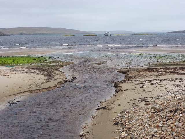
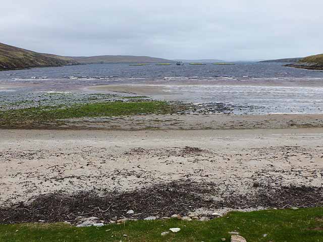
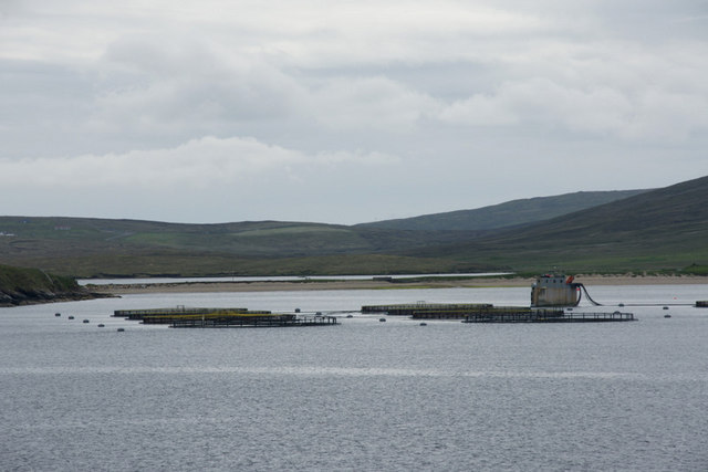
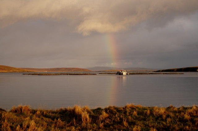
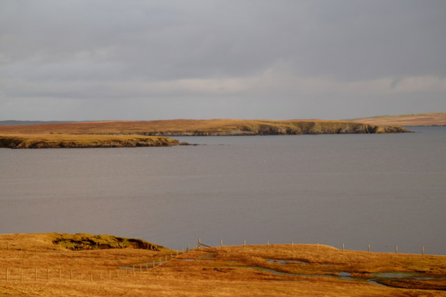
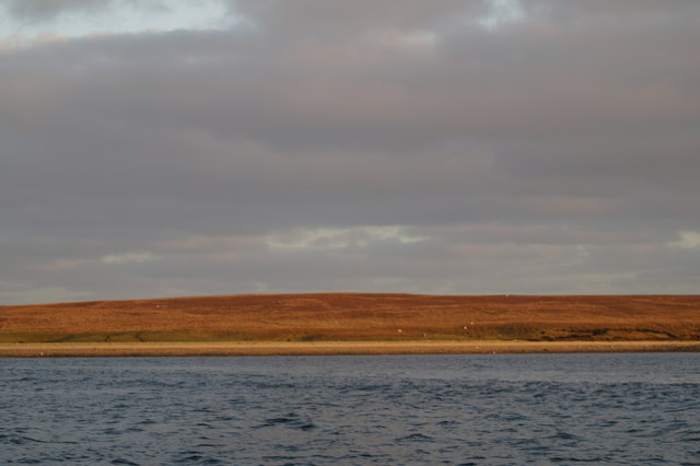
Greenlee Geo is a picturesque coastal feature located in the Shetland Islands, Scotland. It is specifically situated on the southern coast of the main island, known as Mainland. Greenlee Geo is categorized as a headland, which is a narrow piece of land that extends into the sea and is typically characterized by steep cliffs.
This stunning headland offers breathtaking views of the surrounding rugged coastline and the vast Atlantic Ocean. Its prominent geographical location makes it a popular destination for tourists and nature enthusiasts alike. The towering cliffs of Greenlee Geo provide a nesting site for a variety of seabirds, including puffins, fulmars, and guillemots, making it a haven for birdwatchers.
The headland also boasts unique geological formations, with its cliffs showcasing layers of sedimentary rock that date back thousands of years. These rock formations provide valuable insights into the geological history of the area and attract geology enthusiasts.
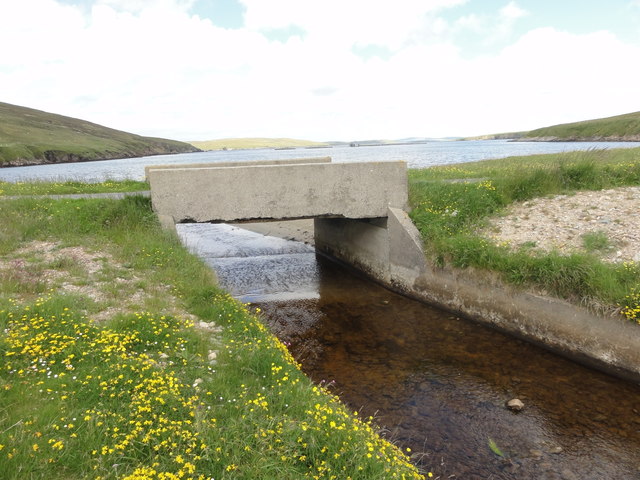
Access to Greenlee Geo is relatively easy, with a well-maintained path leading visitors to the headland. The path is surrounded by lush vegetation, including wildflowers and grasses, adding to the area's natural charm. Visitors can explore the headland on foot, taking in the breathtaking views and immersing themselves in the tranquility of the surrounding landscape.
Overall, Greenlee Geo is a remarkable coastal feature in the Shetland Islands, offering visitors a unique blend of stunning vistas, rich biodiversity, and geological wonders.
If you have any feedback on the listing, please let us know in the comments section below.
Greenlee Geo Images
Images are sourced within 2km of 60.600905/-1.0138912 or Grid Reference HU5491. Thanks to Geograph Open Source API. All images are credited.


Greenlee Geo is located at Grid Ref: HU5491 (Lat: 60.600905, Lng: -1.0138912)
Unitary Authority: Shetland Islands
Police Authority: Highlands and Islands
What 3 Words
///bronzer.paler.unhelpful. Near Gutcher, Shetland Islands
Nearby Locations
Related Wikis

Hascosay
Hascosay (Scots: Hascosay; Old Norse "Hafskotsey") is a small island lying between Yell and Fetlar in the Shetland Islands, Scotland. == Geography and... ==

Mid Yell
Mid Yell is a coastal settlement on the island of Yell, the second largest of Shetland Islands, Scotland. Mid Yell, the largest settlement on the island...

Basta, Shetland
Basta is a hamlet on the island of Yell in the Shetland islands of Scotland. It is on the shores of Basta Voe and is in the parish of Yell. == References... ==

Brough Lodge
Brough Lodge is a 19th-century Gothic mansion on Fetlar, one of the Shetland Islands, in northern Scotland. Built by the Nicolson family, who were responsible...
Have you been to Greenlee Geo?
Leave your review of Greenlee Geo below (or comments, questions and feedback).