Point of the Gunnald
Coastal Feature, Headland, Point in Shetland
Scotland
Point of the Gunnald

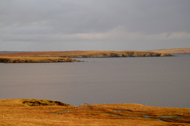
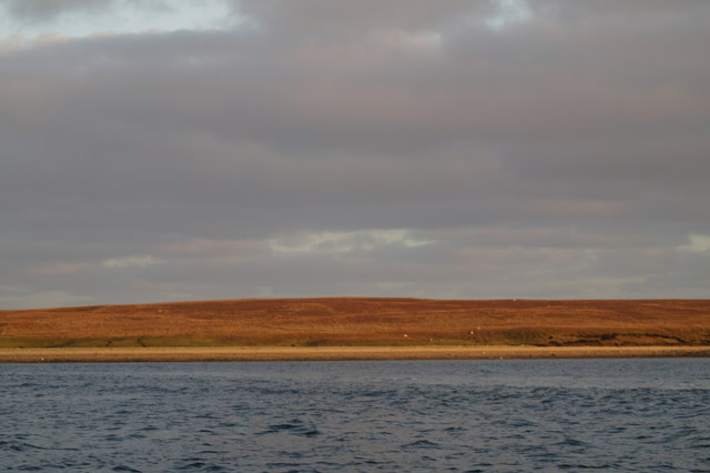
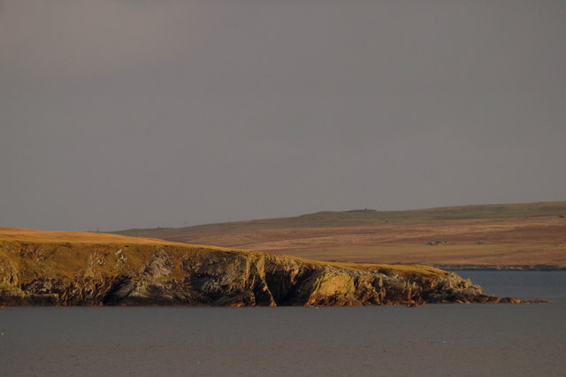
Point of the Gunnald is a prominent coastal feature located on the island of Shetland, Scotland. It is classified as a headland, forming a distinct point that juts out into the North Sea. Its geographical coordinates are approximately 60.244°N latitude and 1.198°W longitude.
This headland is characterized by its rugged and rocky terrain, with steep cliffs rising up to 50 meters in some areas. The coastline around Point of the Gunnald is known for its dramatic beauty, with the crashing waves of the North Sea providing a mesmerizing spectacle against the rocky shoreline.
The headland is named after the Gunnald family, who were prominent landowners in the area during the medieval period. The name "Gunnald" is believed to have Norse origins, reflecting the island's rich Viking heritage.
Point of the Gunnald is home to a diverse range of flora and fauna, including various seabirds such as fulmars, kittiwakes, and puffins. The surrounding waters are also teeming with marine life, making it a popular spot for fishing and birdwatching enthusiasts.
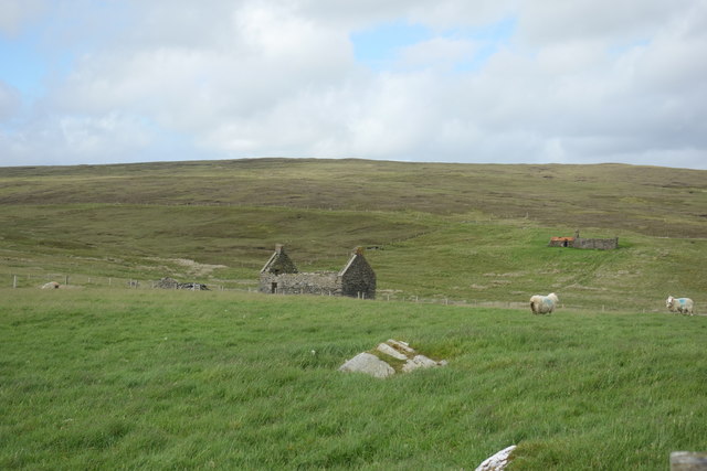
Visitors to Point of the Gunnald can enjoy breathtaking views of the surrounding seascape and the nearby islands of Shetland. The headland is accessible via a coastal path that allows hikers and nature enthusiasts to explore its rugged beauty. Its remote location and unspoiled natural environment make it a peaceful retreat for those seeking solitude and tranquility.
If you have any feedback on the listing, please let us know in the comments section below.
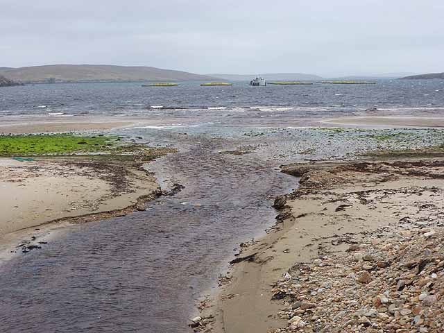
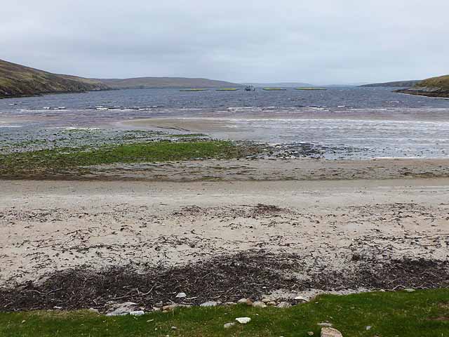
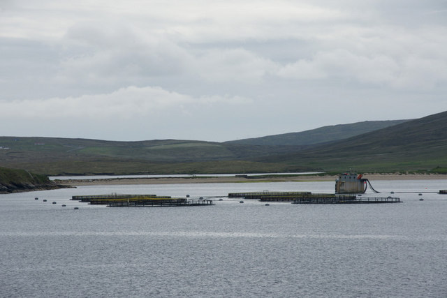
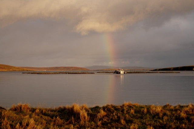
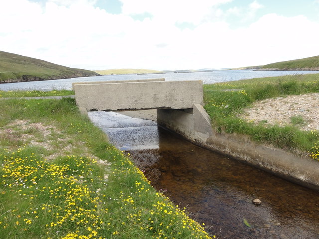
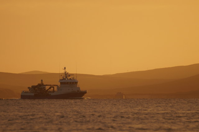
Point of the Gunnald Images
Images are sourced within 2km of 60.602553/-1.0145167 or Grid Reference HU5491. Thanks to Geograph Open Source API. All images are credited.


Point of the Gunnald is located at Grid Ref: HU5491 (Lat: 60.602553, Lng: -1.0145167)
Unitary Authority: Shetland Islands
Police Authority: Highlands and Islands
What 3 Words
///cheering.horns.promotion. Near Gutcher, Shetland Islands
Nearby Locations
Related Wikis

Hascosay
Hascosay (Scots: Hascosay; Old Norse "Hafskotsey") is a small island lying between Yell and Fetlar in the Shetland Islands, Scotland. == Geography and... ==

Mid Yell
Mid Yell is a coastal settlement on the island of Yell, the second largest of Shetland Islands, Scotland. Mid Yell, the largest settlement on the island...

Basta, Shetland
Basta is a hamlet on the island of Yell in the Shetland islands of Scotland. It is on the shores of Basta Voe and is in the parish of Yell. == References... ==

Brough Lodge
Brough Lodge is a 19th-century Gothic mansion on Fetlar, one of the Shetland Islands, in northern Scotland. Built by the Nicolson family, who were responsible...
Have you been to Point of the Gunnald?
Leave your review of Point of the Gunnald below (or comments, questions and feedback).