Hole of Sigl

Sea, Estuary, Creek in Shetland

Scotland

Hole of Sigl

Fish farm in Wick of Vatsetter
Fish farm in Wick of Vatsetter Credit: Mike Pennington

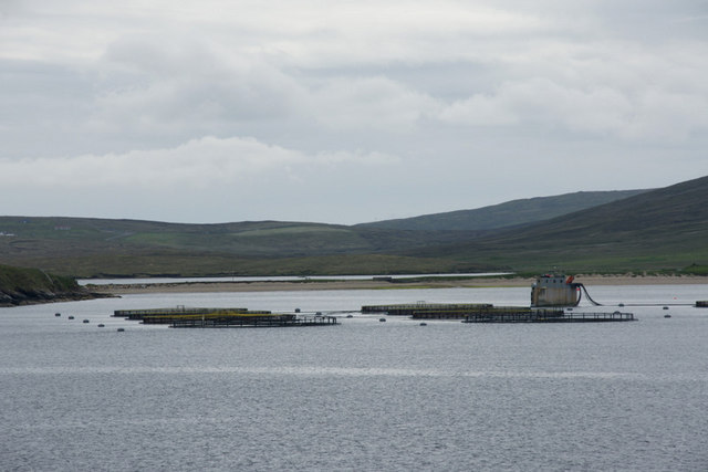
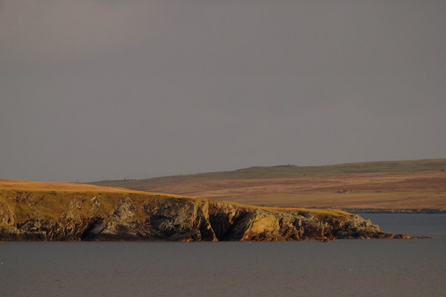
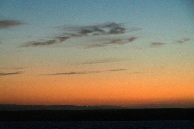
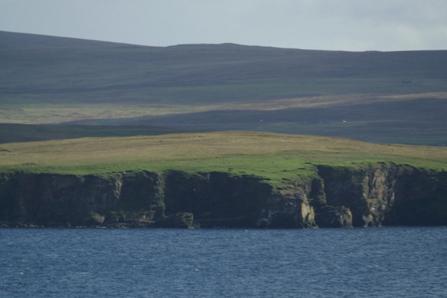
The Hole of Sigl is a small sea inlet located on the eastern coast of the Shetland Islands, Scotland. Nestled between the villages of Cunningsburgh and Quarff, it is known for its picturesque beauty and diverse marine life. The name "Sigl" is derived from the Old Norse word for "sea mist," which aptly describes the atmospheric conditions often experienced in this area.

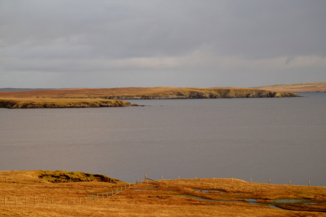
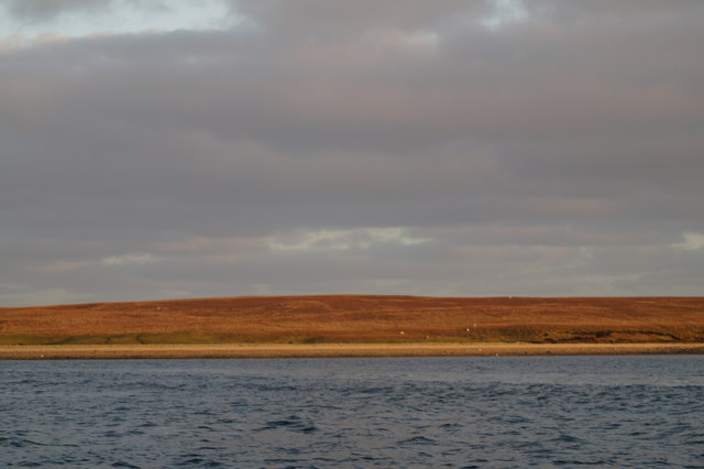
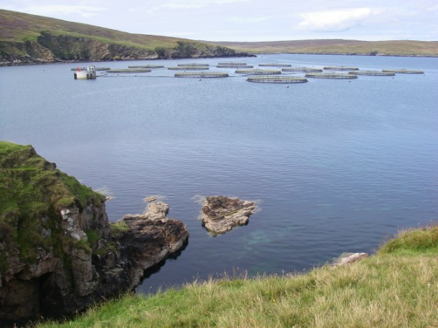
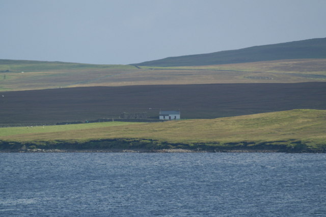
This sea inlet, also referred to as an estuary or creek, is approximately 1 kilometer in length and varies in width depending on the tide. It is surrounded by dramatic cliffs, heather-covered hills, and rocky shores, making it a popular spot for nature enthusiasts and photographers.

The Hole of Sigl is home to a wide range of marine species, including seals, otters, and various seabirds. At low tide, the exposed mudflats attract wading birds such as oystercatchers and curlews. The crystal-clear waters of the inlet also support a diverse underwater ecosystem, with kelp forests, sea urchins, and numerous fish species.

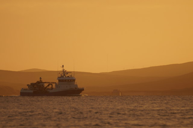
For visitors who enjoy outdoor activities, the Hole of Sigl offers opportunities for coastal walks, birdwatching, and fishing. It is also a popular spot for kayaking and paddleboarding, thanks to its sheltered waters and stunning surroundings.

Overall, the Hole of Sigl is a hidden gem in the Shetland Islands, offering visitors a chance to immerse themselves in the natural beauty and tranquility of Scotland's coastal landscape.

If you have any feedback on the listing, please let us know in the comments section below.

Hole of Sigl Images

Images are sourced within 2km of 60.600775/-1.0012219 or Grid Reference HU5491. Thanks to Geograph Open Source API. All images are credited.

Fish farm in Wick of Vatsetter
Hascosay Sound from Ness of Vatsetter
View from Ness of Vatsetter to Hascosay
North end of the Bow of Hascosay
MV Norholm in Hascosay Sound
Greybearded Man, Hascosay, from the Ness of Vatsetter
Ba Taing, Hascosay, from the Ness of Vatsetter
Looking across Housa Wick towards the west end of Hascosay
Hascosay Sound from Hascosay
Moorland on the south end of Hascosay
Skulia Geo, Hascosay
South-eastern coastline of Hascosay
Evening sky over Hascosay from Brough, Fetlar
View across Wick of Vatsetter towards Ness of Lussetter Fish farming is now a major component of the Shetland economy and this scene is repeated throughout the islands.
View across Wick of Vatsetter towards Ness of Lussetter
Fish farming is now a major component of the Shetland economy and this scene is repeated throughout the islands.
South end of Kay Holm, Mid Yell Voe A small island in the mouth of Mid Yell Voe. A fish farm in the middle distance is close by the island of Hascosay, and the north-west corner of Fetlar is in the distance.
South end of Kay Holm, Mid Yell Voe
A small island in the mouth of Mid Yell Voe. A fish farm in the middle distance is close by the island of Hascosay, and the north-west corner of Fetlar is in the distance.
House on Hascosay Although no longer permanently inhabited, there is still a habitable house on the island of Hascosay, used when working with sheep on the island. In the late 18th and early 19th century, Hascosay was home to the Edmondston family, who became lairds of Buness on Unst. The furthest hills are beyond Hascosay and are part of Fetlar.
House on Hascosay
Although no longer permanently inhabited, there is still a habitable house on the island of Hascosay, used when working with sheep on the island. In the late 18th and early 19th century, Hascosay was home to the Edmondston family, who became lairds of Buness on Unst. The furthest hills are beyond Hascosay and are part of Fetlar.
Cliffs beside Point of the Gunnald, Hascosay The nearest part of Hascosay to the mainland of Yell.
Cliffs beside Point of the Gunnald, Hascosay
The nearest part of Hascosay to the mainland of Yell.
Kay Holm, Mid Yell Voe A small holm at the mouth of Mid Yell Voe. Behind it is the mainland of Yell, then Hascsoay, and in the distance is Unst.
Kay Holm, Mid Yell Voe
A small holm at the mouth of Mid Yell Voe. Behind it is the mainland of Yell, then Hascsoay, and in the distance is Unst.
Show me another place!

Hole of Sigl is located at Grid Ref: HU5491 (Lat: 60.600775, Lng: -1.0012219)

Unitary Authority: Shetland Islands

Police Authority: Highlands and Islands

What 3 Words

///sprinkler.prom.reader. Near Houbie, Shetland Islands

Related Wikis

Hascosay

Hascosay (Scots: Hascosay; Old Norse "Hafskotsey") is a small island lying between Yell and Fetlar in the Shetland Islands, Scotland. == Geography and... ==

Brough Lodge

Brough Lodge is a 19th-century Gothic mansion on Fetlar, one of the Shetland Islands, in northern Scotland. Built by the Nicolson family, who were responsible...

Mid Yell

Mid Yell is a coastal settlement on the island of Yell, the second largest of Shetland Islands, Scotland. Mid Yell, the largest settlement on the island...

Basta, Shetland

Basta is a hamlet on the island of Yell in the Shetland islands of Scotland. It is on the shores of Basta Voe and is in the parish of Yell. == References... ==

Have you been to Hole of Sigl?

Leave your review of Hole of Sigl below (or comments, questions and feedback).