South Boady Geo
Coastal Feature, Headland, Point in Shetland
Scotland
South Boady Geo
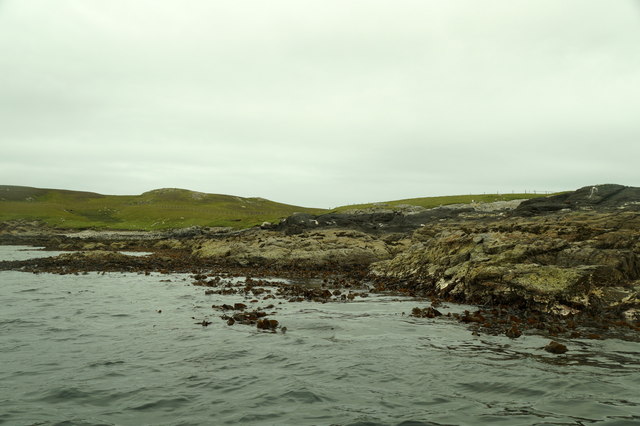
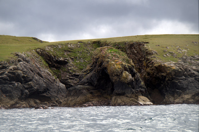
South Boady Geo is a prominent coastal feature located on the mainland of Shetland, Scotland. It is classified as a headland, specifically a point, due to its distinct shape and characteristics. Situated on the southern coast of the mainland, it juts out into the North Sea, providing breathtaking views of the surrounding landscape.
The geo is known for its dramatic cliffs, which rise steeply from the sea, creating an imposing and rugged appearance. These cliffs reach heights of approximately 100 meters, offering a striking contrast against the deep blue waters below. The exposed rock formations showcase the geological history of the area and provide a habitat for various seabird species, including puffins, fulmars, and guillemots.
South Boady Geo is a popular destination for nature enthusiasts and photographers, as it offers unparalleled opportunities to observe and capture the unique coastal scenery. The coastal path that runs along the headland provides access to stunning vistas and allows visitors to experience the awe-inspiring power of the North Sea. During certain times of the year, visitors may also be lucky enough to witness seals basking on the rocks or spot dolphins swimming in the nearby waters.
Due to its exposed location, South Boady Geo experiences the full force of the Atlantic weather systems, resulting in strong winds and crashing waves. This makes it an ideal spot for experienced surfers and windsurfers seeking challenging conditions.
Overall, South Boady Geo is a remarkable coastal feature that showcases the raw beauty and power of nature. Its towering cliffs, diverse wildlife, and breathtaking views make it a must-visit destination for anyone exploring the Shetland Islands.
If you have any feedback on the listing, please let us know in the comments section below.
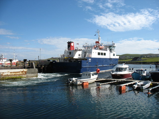
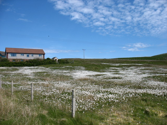
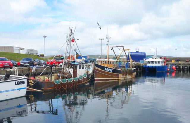
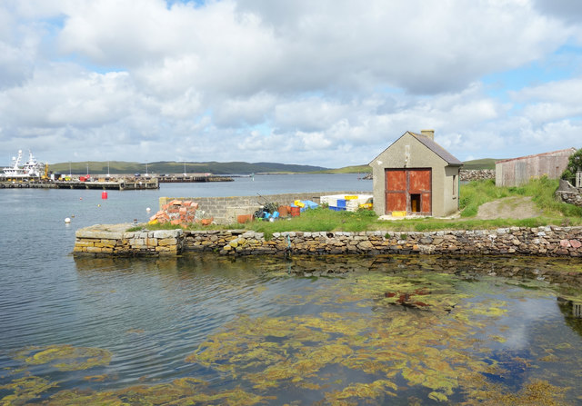
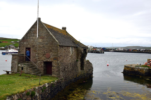
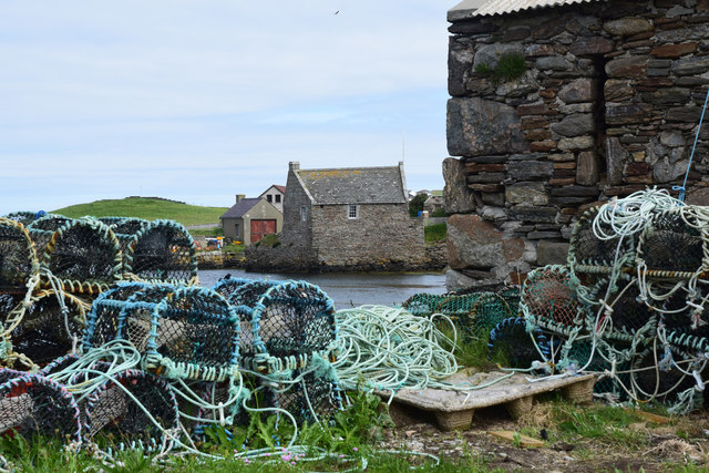
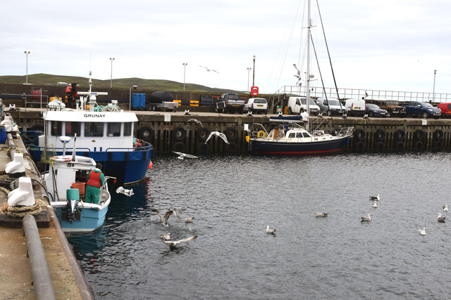
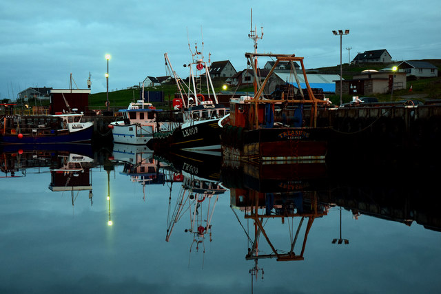
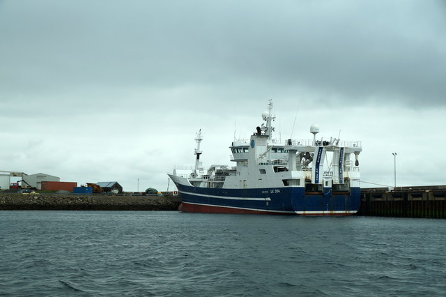
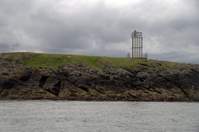
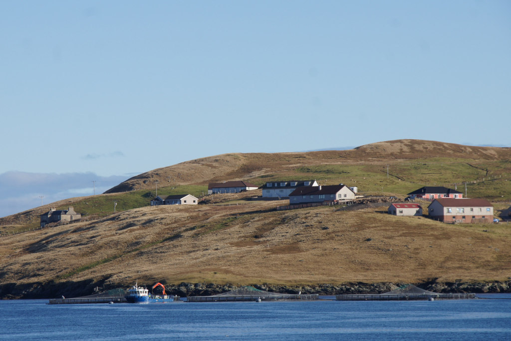
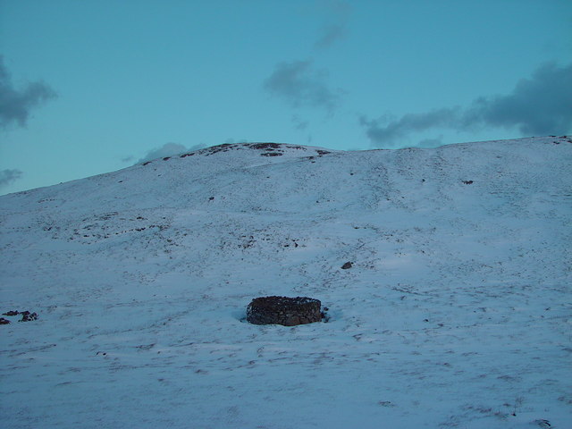
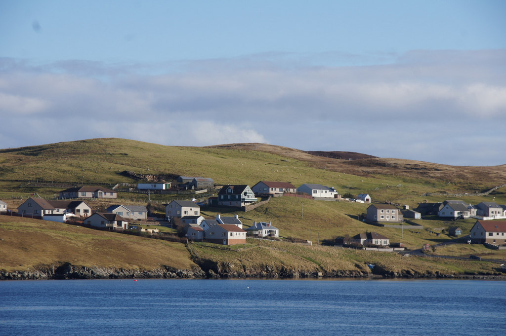
South Boady Geo Images
Images are sourced within 2km of 60.359031/-1.033927 or Grid Reference HU5364. Thanks to Geograph Open Source API. All images are credited.


South Boady Geo is located at Grid Ref: HU5364 (Lat: 60.359031, Lng: -1.033927)
Unitary Authority: Shetland Islands
Police Authority: Highlands and Islands
What 3 Words
///backpacks.seeing.freezers. Near Symbister, Shetland Islands
Nearby Locations
Related Wikis

Skate of Marrister
The Skate of Marrister is a flat ledge that extends about 300 yards (270 m) from the western shore of Whalsay, in the Shetland islands of Scotland. It...

West Linga
West Linga is an uninhabited island located between Mainland and Whalsay in Shetland, Scotland. == Geography and geology == West Linga is a long narrow...

Marrister
Marrister is a settlement on the west coast of Whalsay in the parish of Nesting in the Shetland islands of Scotland. It looks across Linga Sound to the...
North Park, Whalsay
North Park is a hamlet in southwestern Whalsay in the parish of Nesting in the Shetland Islands of Scotland. It lies to the north of Saltness and Symbister...
Linga Sound, Shetland
Linga Sound is the strait between the islands of Whalsay and West Linga in the Shetland islands of Scotland. The sound has a depth of 11 to 12 fathoms...

Little Linga
Little Linga is a small island in the Shetland Islands. It is near West Linga and Vidlin on Mainland, Shetland. It is 20 metres (66 ft) at its highest...
Setter Hill, Whalsay
Setter Hill is a hill in western Whalsay, Shetland Islands, Scotland. It lies to the southeast of the village of Marrister and northeast of the main village...
Hamister
Hamister is a village in southwestern Whalsay in the parish of Nesting in the Shetland Islands of Scotland. It lies to the north of Symbister, just to...
Have you been to South Boady Geo?
Leave your review of South Boady Geo below (or comments, questions and feedback).