Blandi Geo

Coastal Feature, Headland, Point in Shetland

Scotland

Blandi Geo

The Whalsay ferry, MV Linga, leaving Symbister pier Bound for Laxo on Shetland Mainland.
The Whalsay ferry, MV Linga, leaving Symbister pier Credit: David Purchase

Blandi Geo is a prominent coastal feature located in the Shetland Islands, an archipelago in Scotland, United Kingdom. It is classified as a headland or point due to its geographical formation.

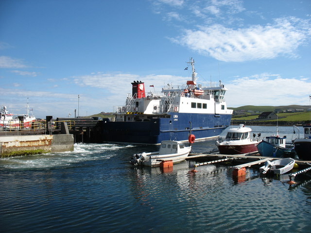
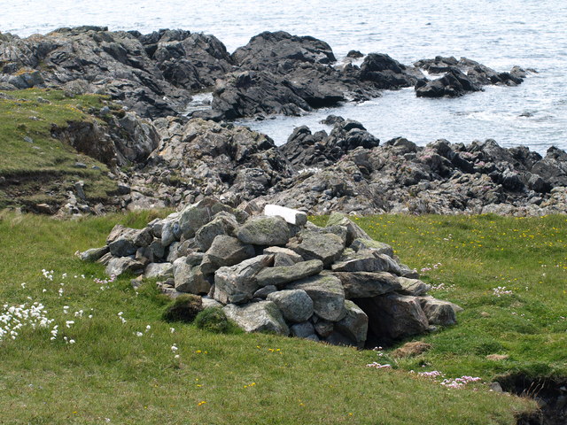
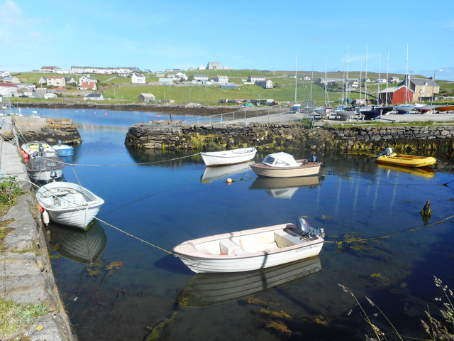
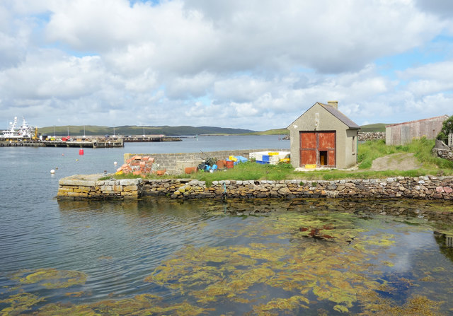
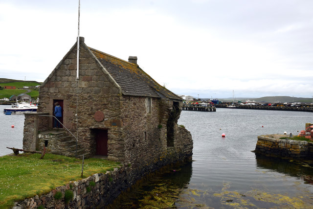
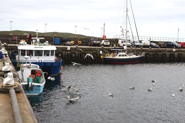
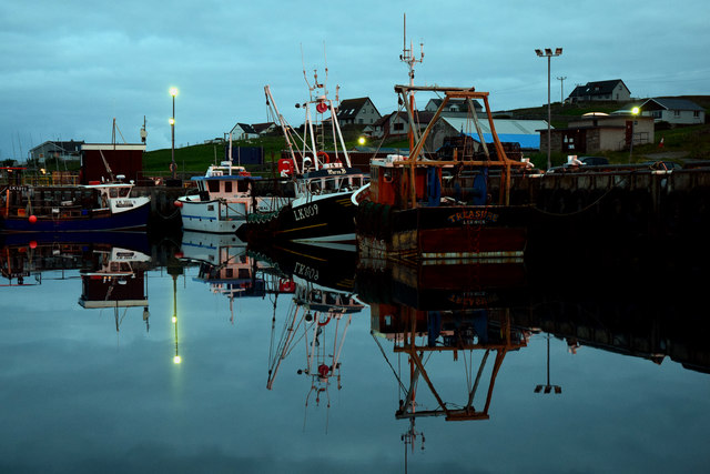
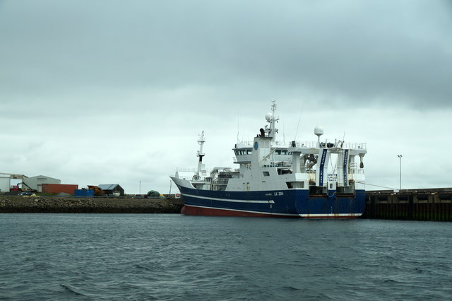
Situated on the southwestern coast of Shetland, Blandi Geo is characterized by its rugged cliffs and rocky shoreline. The headland juts out into the North Atlantic Ocean, providing a stunning panoramic view of the surrounding seascape. Its strategic position offers a commanding vantage point, making it an ideal location for observing marine life and birdwatching.

The cliffs of Blandi Geo are composed of layered sedimentary rocks, showcasing a rich geological history. Fossilized remains of ancient marine organisms can sometimes be discovered in these rock formations, providing valuable insights into the region's past. Furthermore, the headland's exposed coastal features are subject to constant erosion from the relentless pounding of waves, contributing to the shaping of the landscape over time.

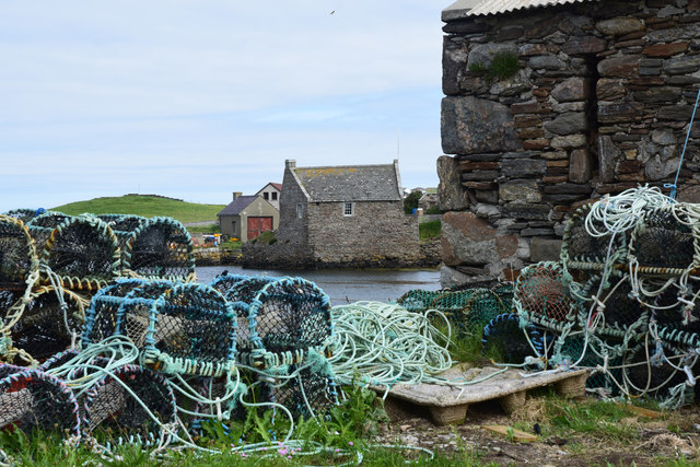
Blandi Geo is a popular destination for outdoor enthusiasts, attracting hikers, photographers, and nature lovers. The rugged coastal path leading to the headland offers a rewarding and challenging trek, allowing visitors to appreciate the area's natural beauty up close. It is important to exercise caution when exploring Blandi Geo, as the cliffs can be precarious and subject to unstable conditions.

Overall, Blandi Geo in Shetland is a picturesque headland that showcases the raw beauty of the Scottish coastline. Its geological significance, wildlife diversity, and breathtaking views make it a must-visit destination for those seeking an immersive experience in nature.

If you have any feedback on the listing, please let us know in the comments section below.

Blandi Geo Images

Images are sourced within 2km of 60.334072/-1.0343386 or Grid Reference HU5361. Thanks to Geograph Open Source API. All images are credited.

The Whalsay ferry, MV Linga, leaving Symbister pier Bound for Laxo on Shetland Mainland.
The Whalsay ferry, MV Linga, leaving Symbister pier
Bound for Laxo on Shetland Mainland.
The summit of Ward of Clett, Whalsay Well, this is what everyone would think is the summit. But the purists maintain that the true highest point is a little way to the north-east, at HU55046148.
The summit of Ward of Clett, Whalsay
Well, this is what everyone would think is the summit. But the purists maintain that the true highest point is a little way to the north-east, at HU55046148.
Descending to Clate On the way down from Ward of Clett, the highest point on Whalsay.
Descending to Clate
On the way down from Ward of Clett, the highest point on Whalsay.
North Voe, Symbister, Whalsay Is there a South Voe? Not on the map, but I could well imagine that the harbour where the ferry from Mainland comes in has this name.
North Voe, Symbister, Whalsay
Is there a South Voe? Not on the map, but I could well imagine that the harbour where the ferry from Mainland comes in has this name.
Otter House An Otter House, Point of Gruid, Symbister Ness, Whalsay.
Otter House
An Otter House, Point of Gruid, Symbister Ness, Whalsay.
A Cottage A Cottage at the turning space, Clate, Whalsay
A Cottage
A Cottage at the turning space, Clate, Whalsay
Whalsay Leisure Centre
View at Symbister The eastern part of Symbister. Sodom, according to the map.
View at Symbister
The eastern part of Symbister. Sodom, according to the map.
Pier House Museum, Symbister Whalsay's most photographed building. The museum details Shetland's connections with the Hanseatic League, from a time when trade links with Europe didn't generate so much hot air. <span class="nowrap"><a title="https://en.wikipedia.org/wiki/Pier_House_Museum" rel="nofollow ugc noopener" href="https://en.wikipedia.org/wiki/Pier_House_Museum">Link</a><img style="margin-left:2px;" alt="External link" title="External link - shift click to open in new window" src="https://s1.geograph.org.uk/img/external.png" width="10" height="10"/></span>
Pier House Museum, Symbister
Whalsay's most photographed building. The museum details Shetland's connections with the Hanseatic League, from a time when trade links with Europe didn't generate so much hot air. LinkExternal link
Fishing Boats, Symbister
Symbister House A mansion built in 1823 for the owners of Whalsay, the Bruce family. According to this article <span class="nowrap"><a title="https://en.wikipedia.org/wiki/Symbister_House" rel="nofollow ugc noopener" href="https://en.wikipedia.org/wiki/Symbister_House">Link</a><img style="margin-left:2px;" alt="External link" title="External link - shift click to open in new window" src="https://s1.geograph.org.uk/img/external.png" width="10" height="10"/></span> they were an obnoxious bunch.
The house is now used by Whalsay secondary school.
Symbister House
A mansion built in 1823 for the owners of Whalsay, the Bruce family. According to this article LinkExternal link they were an obnoxious bunch. The house is now used by Whalsay secondary school.
Small Boat Harbour, Symbister In a corner of the main harbour is an inner haven for small craft.
Small Boat Harbour, Symbister
In a corner of the main harbour is an inner haven for small craft.
The Next Hut Along I am standing beside the historic and much photographed Pier House Museum looking towards a similar location just a short distance away which also features a building on a small stone pier. The scene is somewhat less picturesque.
The Next Hut Along
I am standing beside the historic and much photographed Pier House Museum looking towards a similar location just a short distance away which also features a building on a small stone pier. The scene is somewhat less picturesque.
Pier House Museum, Symbister, Whalsay, Shetland The Pier House was formerly a trading post for the Hanseatic League
Pier House Museum, Symbister, Whalsay, Shetland
The Pier House was formerly a trading post for the Hanseatic League
Symbister Pier House Museum Formerly a Hanseatic League trading post
Symbister Pier House Museum
Formerly a Hanseatic League trading post
Symbister Harbour, Whalsay
Symbister Harbour, Whalsay, during the "Simmer Dim" Taken after 11pm on 20th June during the "Simmer Dim".  It becomes slightly darker between about midnight and 2am.
Symbister Harbour, Whalsay, during the "Simmer Dim"
Taken after 11pm on 20th June during the "Simmer Dim". It becomes slightly darker between about midnight and 2am.
LK394 Zephyr in Symbister Harbour
Show me another place!

Blandi Geo is located at Grid Ref: HU5361 (Lat: 60.334072, Lng: -1.0343386)

Unitary Authority: Shetland Islands

Police Authority: Highlands and Islands

What 3 Words

///requested.eternally.sound. Near Symbister, Shetland Islands

Related Wikis

Holm of Sandwick

The Holm of Sandwick is an islet, located roughly 100 metres (330 ft) off Haa Ness and the southwestern side of Whalsay, in the Shetland Islands of Scotland...

Clate

Clate (also known as Clett) is a hamlet and ward in southwestern Whalsay in the parish of Nesting in the Shetland Islands of Scotland. == Geography... ==

Sandwick, Whalsay

Sandwick is a hamlet, often considered part of the main village of Symbister along with adjacent Harlsdale, in the parish of Nesting in southwestern Whalsay...

Symbister House

Symbister House is a former country house in Symbister, Whalsay island, in the Shetland islands of Scotland. It was built in 1823 by the Bruce family who...

Pier House Museum

The Pier House Museum is a museum in Symbister, Whalsay, in the Shetland Islands of Scotland. The museum is located in the old Pier House, which was once...

Symbister

Symbister is the largest village and port on Whalsay, an island in the Shetland archipelago of Scotland. The population in 1991 was 797. The focus of the...

Saltness

Saltness is a hamlet in southwestern Whalsay in the parish of Nesting in the Shetland Islands of Scotland. It lies in the northern part of Symbister, just...

Sodom, Shetland

Sodom (known locally as Sudheim) is a settlement on Whalsay, Shetland. The name is a corruption of the Old Norse SuĂ°heim meaning "south home". It was formerly...

Have you been to Blandi Geo?

Leave your review of Blandi Geo below (or comments, questions and feedback).