Bight of Cudda

Bay in Shetland

Scotland

Bight of Cudda

The Whalsay ferry, MV Linga, leaving Symbister pier Bound for Laxo on Shetland Mainland.
The Whalsay ferry, MV Linga, leaving Symbister pier Credit: David Purchase

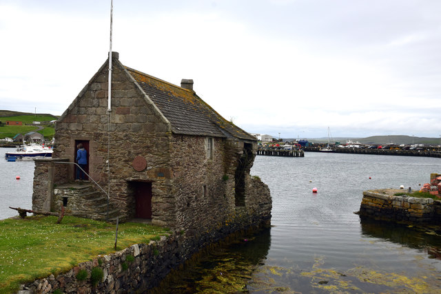
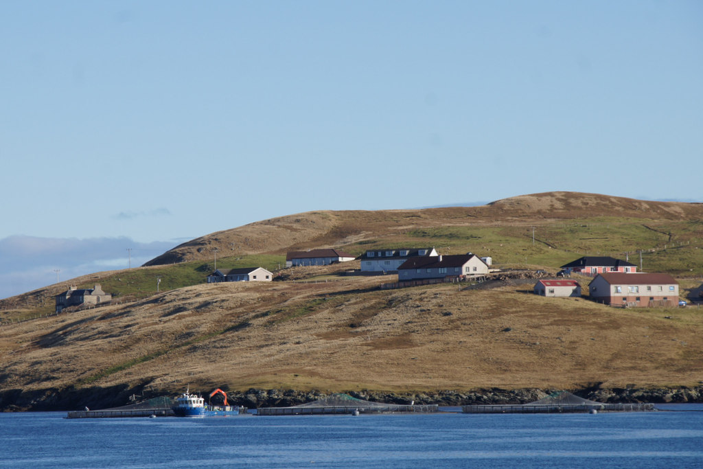
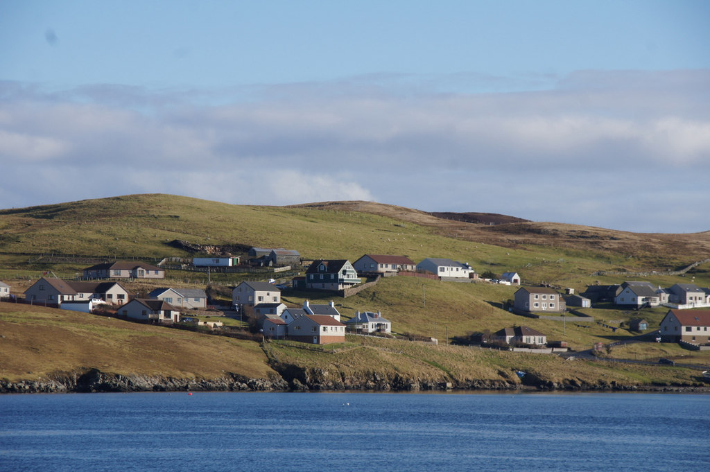
Bight of Cudda, also known as Cudda Bay, is a picturesque bay located on the eastern coast of the Shetland Islands in Scotland. It is situated on the eastern side of Whalsay, the sixth-largest island in the Shetland archipelago.

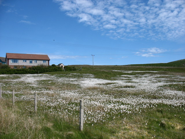
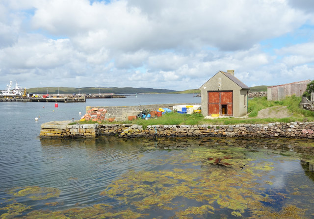
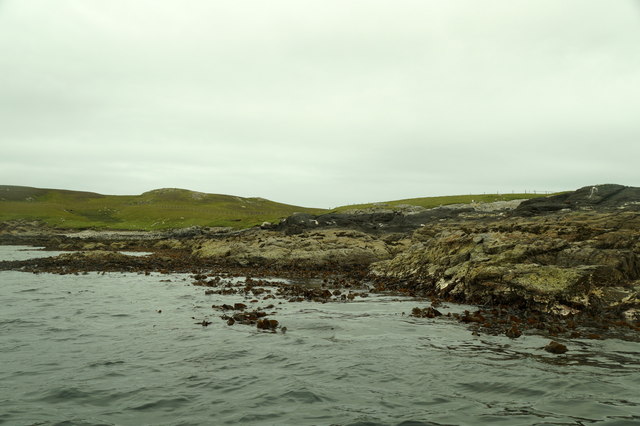
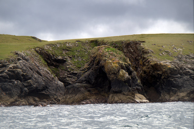
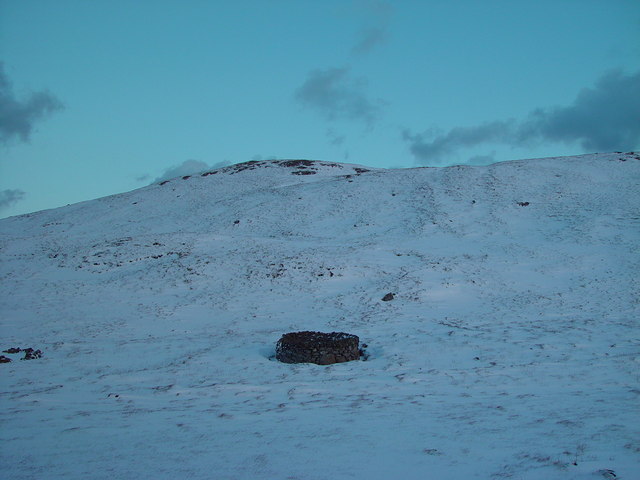
The bay is characterized by its stunning natural beauty, with rugged cliffs, a pebble beach, and crystal-clear blue waters. It offers breathtaking panoramic views of the surrounding landscapes and is a haven for nature enthusiasts and photographers.

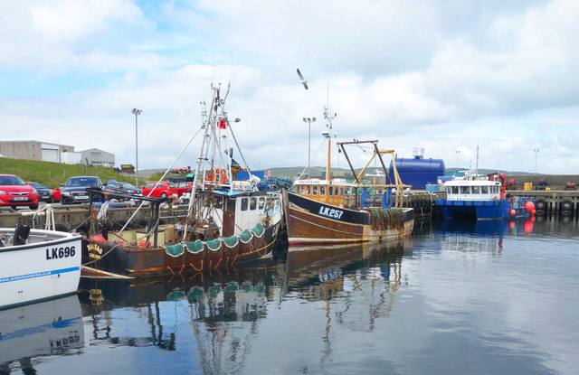
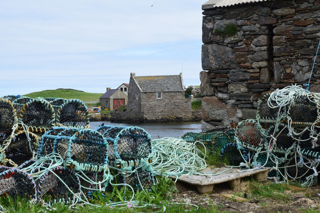
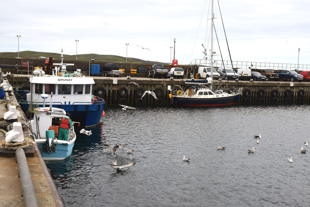
Bight of Cudda is known for its rich marine life, making it a popular spot for fishing and birdwatching. The bay is home to a variety of bird species, including puffins, guillemots, razorbills, and fulmars. Seals and otters can also be spotted in the waters of the bay.

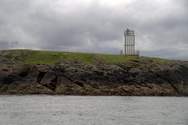
The area surrounding the bay is sparsely populated, providing a tranquil and serene atmosphere. It is a perfect destination for those seeking solitude and relaxation amidst nature. Visitors can enjoy leisurely walks along the beach, explore the nearby cliffs, or simply take in the breathtaking scenery.

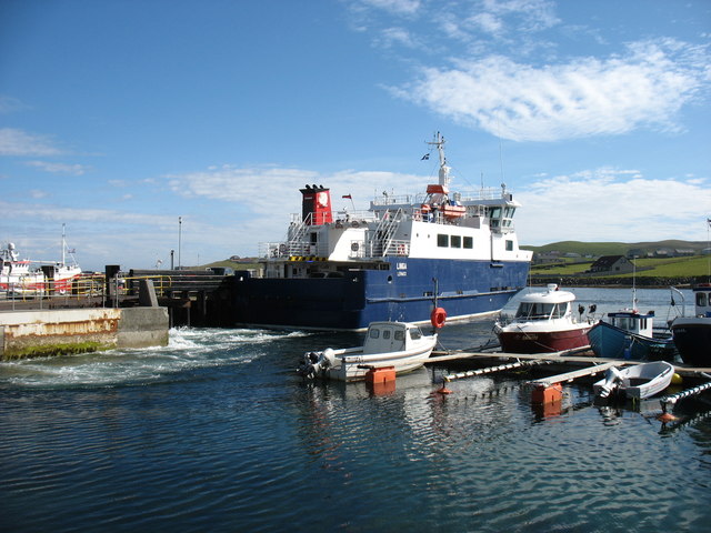
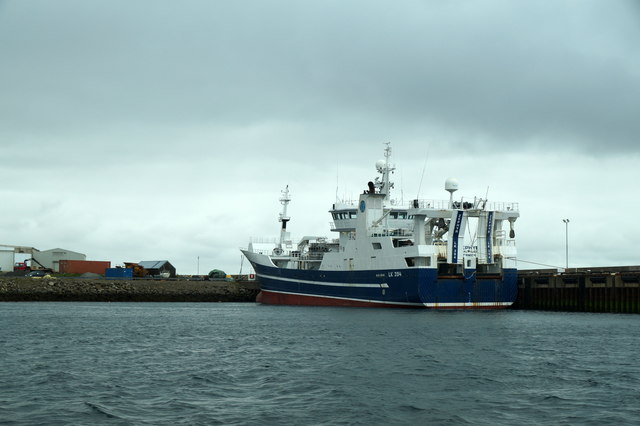
Access to Bight of Cudda is relatively easy, with a road leading to the bay from the main village of Symbister on Whalsay. The bay is also accessible by boat, allowing visitors to explore the surrounding coastline and nearby islands.

Overall, Bight of Cudda is a hidden gem in the Shetland Islands, offering a unique blend of natural beauty, wildlife, and tranquility that is sure to captivate any visitor.

If you have any feedback on the listing, please let us know in the comments section below.

Bight of Cudda Images

Images are sourced within 2km of 60.359279/-1.0321796 or Grid Reference HU5364. Thanks to Geograph Open Source API. All images are credited.

The Whalsay ferry, MV Linga, leaving Symbister pier Bound for Laxo on Shetland Mainland.
The Whalsay ferry, MV Linga, leaving Symbister pier
Bound for Laxo on Shetland Mainland.
Houb and Suther Ness, Whalsay Suther Ness, with its beacon, is connected to the mainland of Whalsay. But you can't walk there direct from here, you have to approach from the left. Houb (on the left) would, I imagine, make a fine natural harbour were it not for the fact that the channel ahead which prevents a direct approach to Suther Ness is too shallow for all but the smallest craft (such as the little one seen here).
Houb and Suther Ness, Whalsay
Suther Ness, with its beacon, is connected to the mainland of Whalsay. But you can't walk there direct from here, you have to approach from the left. Houb (on the left) would, I imagine, make a fine natural harbour were it not for the fact that the channel ahead which prevents a direct approach to Suther Ness is too shallow for all but the smallest craft (such as the little one seen here).
Approaching Symbister, Whalsay A rare stretch of road on Whalsay which does not need passing places!
Approaching Symbister, Whalsay
A rare stretch of road on Whalsay which does not need passing places!
A field at Marrister, Whalsay Daisies in profusion.
A field at Marrister, Whalsay
Daisies in profusion.
North Voe, Symbister, Whalsay Is there a South Voe? Not on the map, but I could well imagine that the harbour where the ferry from Mainland comes in has this name.
North Voe, Symbister, Whalsay
Is there a South Voe? Not on the map, but I could well imagine that the harbour where the ferry from Mainland comes in has this name.
Pier House Museum, Symbister Whalsay's most photographed building. The museum details Shetland's connections with the Hanseatic League, from a time when trade links with Europe didn't generate so much hot air. <span class="nowrap"><a title="https://en.wikipedia.org/wiki/Pier_House_Museum" rel="nofollow ugc noopener" href="https://en.wikipedia.org/wiki/Pier_House_Museum">Link</a><img style="margin-left:2px;" alt="External link" title="External link - shift click to open in new window" src="https://s1.geograph.org.uk/img/external.png" width="10" height="10"/></span>
Pier House Museum, Symbister
Whalsay's most photographed building. The museum details Shetland's connections with the Hanseatic League, from a time when trade links with Europe didn't generate so much hot air. LinkExternal link
Fishing Boats, Symbister
The Next Hut Along I am standing beside the historic and much photographed Pier House Museum looking towards a similar location just a short distance away which also features a building on a small stone pier. The scene is somewhat less picturesque.
The Next Hut Along
I am standing beside the historic and much photographed Pier House Museum looking towards a similar location just a short distance away which also features a building on a small stone pier. The scene is somewhat less picturesque.
Pier House Museum, Symbister, Whalsay, Shetland The Pier House was formerly a trading post for the Hanseatic League
Pier House Museum, Symbister, Whalsay, Shetland
The Pier House was formerly a trading post for the Hanseatic League
Symbister Pier House Museum Formerly a Hanseatic League trading post
Symbister Pier House Museum
Formerly a Hanseatic League trading post
Symbister Harbour, Whalsay
Symbister Harbour, Whalsay, during the "Simmer Dim" Taken after 11pm on 20th June during the "Simmer Dim".  It becomes slightly darker between about midnight and 2am.
Symbister Harbour, Whalsay, during the "Simmer Dim"
Taken after 11pm on 20th June during the "Simmer Dim". It becomes slightly darker between about midnight and 2am.
LK394 Zephyr in Symbister Harbour
Calf of Linga and the South Ward of Linga
Croo Wick, West Linga
Cable marker on Ness of Sheenareef, East Linga
Rooi Geo, West Linga, Whalsay
Beacon on Wether Holm, Whalsay
Show me another place!

Bight of Cudda is located at Grid Ref: HU5364 (Lat: 60.359279, Lng: -1.0321796)

Unitary Authority: Shetland Islands

Police Authority: Highlands and Islands

What 3 Words

///eternally.care.staining. Near Symbister, Shetland Islands

Related Wikis

Skate of Marrister

The Skate of Marrister is a flat ledge that extends about 300 yards (270 m) from the western shore of Whalsay, in the Shetland islands of Scotland. It...

Marrister

Marrister is a settlement on the west coast of Whalsay in the parish of Nesting in the Shetland islands of Scotland. It looks across Linga Sound to the...

West Linga

West Linga is an uninhabited island located between Mainland and Whalsay in Shetland, Scotland. == Geography and geology == West Linga is a long narrow...

North Park, Whalsay

North Park is a hamlet in southwestern Whalsay in the parish of Nesting in the Shetland Islands of Scotland. It lies to the north of Saltness and Symbister...

Linga Sound, Shetland

Linga Sound is the strait between the islands of Whalsay and West Linga in the Shetland islands of Scotland. The sound has a depth of 11 to 12 fathoms...

Little Linga

Little Linga is a small island in the Shetland Islands. It is near West Linga and Vidlin on Mainland, Shetland. It is 20 metres (66 ft) at its highest...

Setter Hill, Whalsay

Setter Hill is a hill in western Whalsay, Shetland Islands, Scotland. It lies to the southeast of the village of Marrister and northeast of the main village...

Hamister

Hamister is a village in southwestern Whalsay in the parish of Nesting in the Shetland Islands of Scotland. It lies to the north of Symbister, just to...

Have you been to Bight of Cudda?

Leave your review of Bight of Cudda below (or comments, questions and feedback).