North Geo of Ducka
Coastal Feature, Headland, Point in Shetland
Scotland
North Geo of Ducka
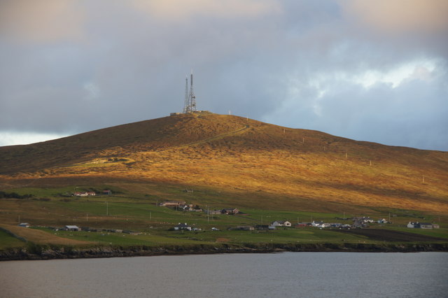
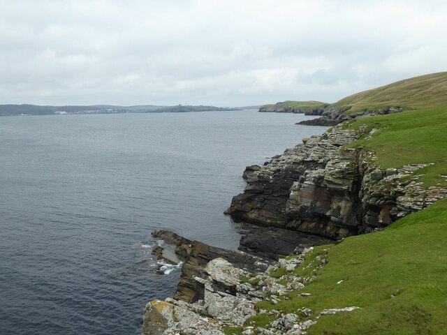
North Geo of Ducka is a prominent coastal feature located in the Shetland Islands, off the coast of Scotland. Situated on the east coast of the main island, known as Mainland, it is specifically positioned in the northernmost region of the island. North Geo of Ducka is classified as a headland, which is a narrow piece of land that juts out into the sea.
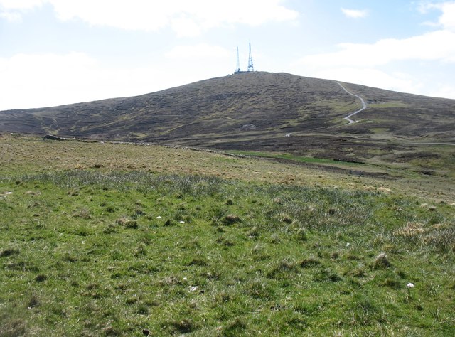
This stunning coastal feature is characterized by its rugged and rocky terrain, with steep cliffs that rise dramatically from the North Sea. The cliffs are made up of various sedimentary rock formations, showcasing layers of different colors and textures, which add to the visual appeal of the area. The headland also boasts a variety of flora and fauna, including seabirds that nest on the cliffs and numerous wildflowers that dot the landscape.
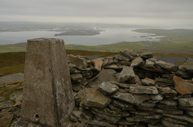
The North Geo of Ducka provides breathtaking panoramic views of the surrounding ocean and the neighboring islands. Its strategic location also makes it an excellent spot for birdwatching and observing marine life, as it offers a vantage point to witness seabirds, seals, and occasional sightings of whales.
Access to North Geo of Ducka is limited due to its remote location and the challenging terrain. Visitors can enjoy the beauty of this coastal feature by taking a leisurely hike along the coastal path, which offers stunning views of the headland from a distance. It is important to exercise caution when exploring the area as the cliffs can be dangerous and unstable.
Overall, North Geo of Ducka is a captivating coastal feature that showcases the raw beauty of the Shetland Islands. Its rugged cliffs, diverse wildlife, and panoramic views make it a must-visit destination for nature enthusiasts and those seeking a unique coastal experience.
If you have any feedback on the listing, please let us know in the comments section below.
North Geo of Ducka Images
Images are sourced within 2km of 60.135455/-1.1255859 or Grid Reference HU4839. Thanks to Geograph Open Source API. All images are credited.


North Geo of Ducka is located at Grid Ref: HU4839 (Lat: 60.135455, Lng: -1.1255859)
Unitary Authority: Shetland Islands
Police Authority: Highlands and Islands
What 3 Words
///froze.polygraph.chromatic. Near Lerwick, Shetland Islands
Nearby Locations
Related Wikis

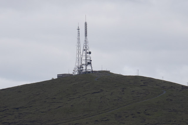
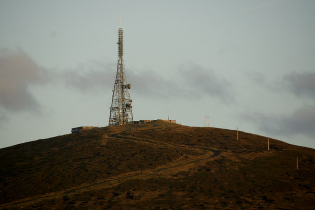
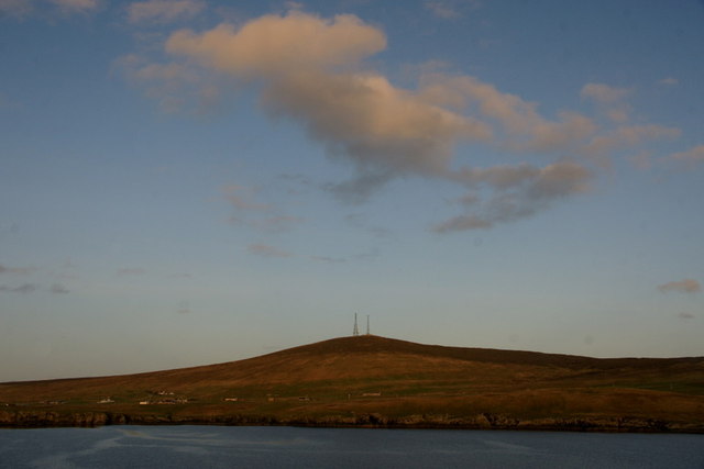
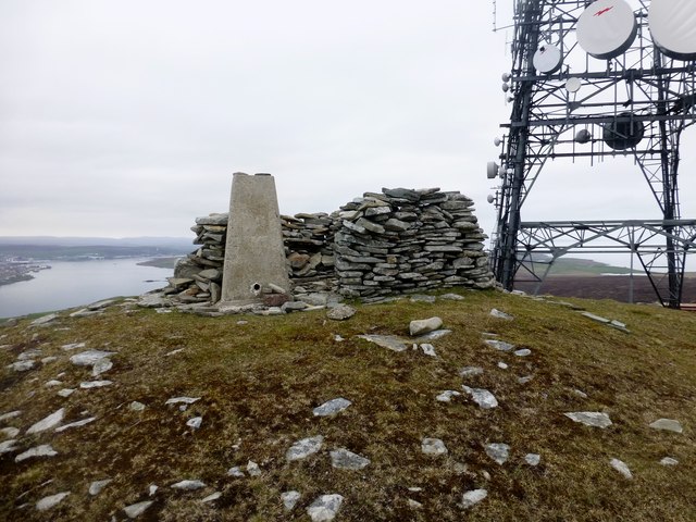
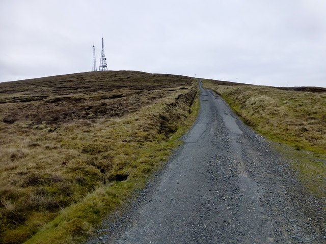
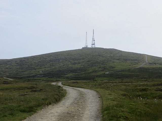
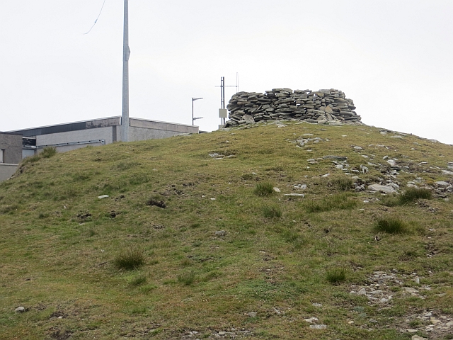
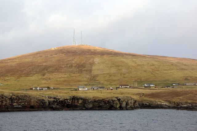
Bressay transmitting station
Bressay transmitting station is a broadcasting transmission facility for the Shetland Islands, located on the isle of Bressay, owned and operated by Arqiva...
Lerwick and Bressay Parish Church
Lerwick and Bressay Parish Church is the largest Church of Scotland congregation in Shetland, serving the islands' capital Lerwick and the surrounding...

Shetland Library
Shetland Library is the public library service of Shetland, with its main branch based in Lerwick. Membership is open to both residents of and visitors...

Lerwick Town Hall
Lerwick Town Hall is a municipal building located on Hillhead in Lerwick, Shetland, Scotland. It is used as an events venue and registrar's office. The...
Lerwick
Lerwick ( or ; Old Norse: Leirvik; Norn: Larvik) is the main town and port of the Shetland archipelago, Scotland. Shetland's only burgh, Lerwick had a...

Gilbert Bain Hospital
The Gilbert Bain Hospital is a rural general hospital in the burgh of Lerwick, Shetland, Scotland. It is managed by NHS Shetland. == History == The hospital...
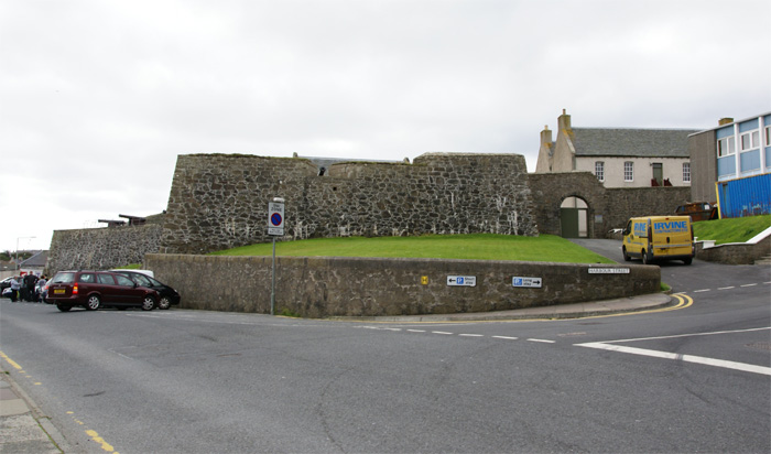
Fort Charlotte, Shetland
Fort Charlotte in the centre of Lerwick, Shetland, is an artillery fort, roughly five sided, with bastions on each of three landward corners, and half...

County Buildings, Lerwick
County Buildings is a municipal structure in King Erik Street, Lerwick, Shetland, Scotland. The structure, which is used as a judicial complex, is a Category...
Nearby Amenities
Located within 500m of 60.135455,-1.1255859Have you been to North Geo of Ducka?
Leave your review of North Geo of Ducka below (or comments, questions and feedback).