South Geos of Ducka
Coastal Feature, Headland, Point in Shetland
Scotland
South Geos of Ducka
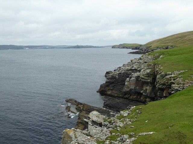
South Geos of Ducka is a prominent coastal feature located in the southern part of Shetland, Scotland. It is primarily characterized as a headland or point, jutting out into the North Atlantic Ocean. This geographical formation is situated on the western coast of the island of Mainland, approximately 14 kilometers southwest of Lerwick, the capital of Shetland.
South Geos of Ducka possesses stunning natural beauty, with its rugged cliffs and rocky shoreline. The headland is marked by steep cliffs that reach heights of up to 100 meters, providing breathtaking views of the surrounding landscape and the vast ocean beyond. The cliffs are composed of layers of sedimentary rocks, showcasing the area's geological history.
This coastal feature also boasts several sea stacks and natural arches, carved out by the relentless force of the waves over thousands of years. These unique rock formations add to the allure of South Geos of Ducka, attracting visitors and photographers from around the world.
In addition to its natural beauty, South Geos of Ducka is a haven for various bird species, including puffins, guillemots, and razorbills. The cliffs provide nesting sites and safe breeding grounds for these seabirds, making it an important ecological site within the region.
Access to South Geos of Ducka is relatively easy, with a coastal footpath that leads to the headland, allowing visitors to explore and appreciate its natural wonders. However, caution is advised, as the cliffs can be treacherous and unstable.
Overall, South Geos of Ducka is a captivating coastal feature, offering a combination of stunning landscapes, geological marvels, and rich biodiversity, making it a must-visit destination for nature enthusiasts and outdoor adventurers in Shetland.
If you have any feedback on the listing, please let us know in the comments section below.
South Geos of Ducka Images
Images are sourced within 2km of 60.135044/-1.1259748 or Grid Reference HU4839. Thanks to Geograph Open Source API. All images are credited.


South Geos of Ducka is located at Grid Ref: HU4839 (Lat: 60.135044, Lng: -1.1259748)
Unitary Authority: Shetland Islands
Police Authority: Highlands and Islands
What 3 Words
///upwardly.broom.loud. Near Lerwick, Shetland Islands
Related Wikis

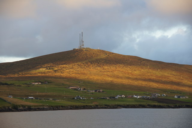
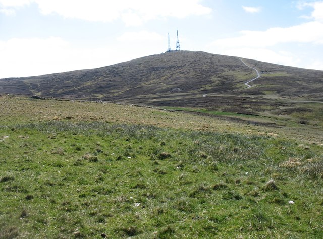
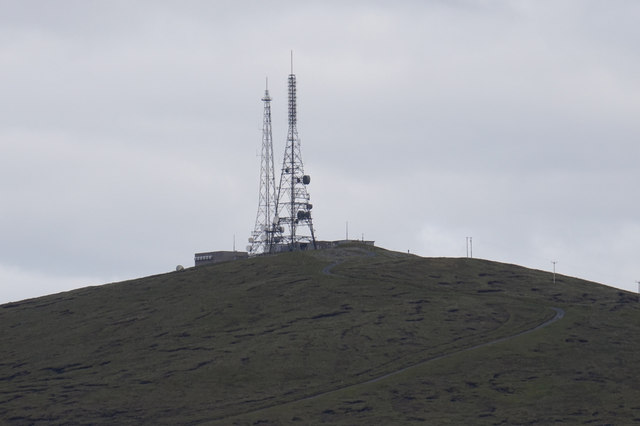
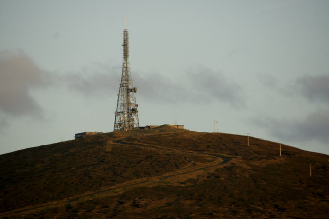
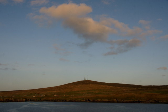
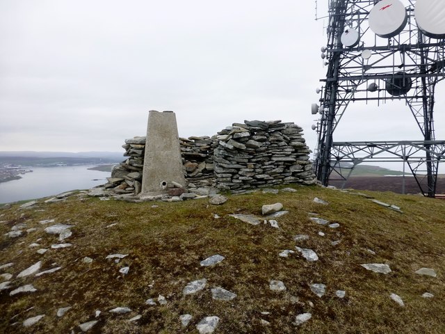
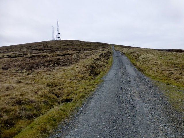
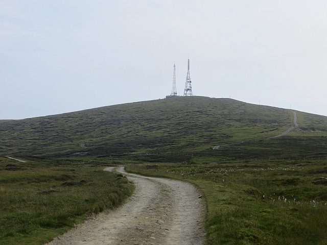
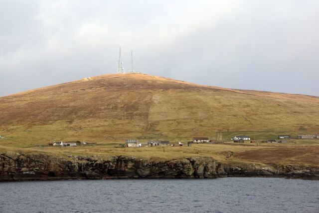
Bressay transmitting station
Bressay transmitting station is a broadcasting transmission facility for the Shetland Islands, located on the isle of Bressay, owned and operated by Arqiva...
Lerwick and Bressay Parish Church
Lerwick and Bressay Parish Church is the largest Church of Scotland congregation in Shetland, serving the islands' capital Lerwick and the surrounding...

Shetland Library
Shetland Library is the public library service of Shetland, with its main branch based in Lerwick. Membership is open to both residents of and visitors...

Lerwick Town Hall
Lerwick Town Hall is a municipal building located on Hillhead in Lerwick, Shetland, Scotland. It is used as an events venue and registrar's office. The...

Gilbert Bain Hospital
The Gilbert Bain Hospital is a rural general hospital in the burgh of Lerwick, Shetland, Scotland. It is managed by NHS Shetland. == History == The hospital...
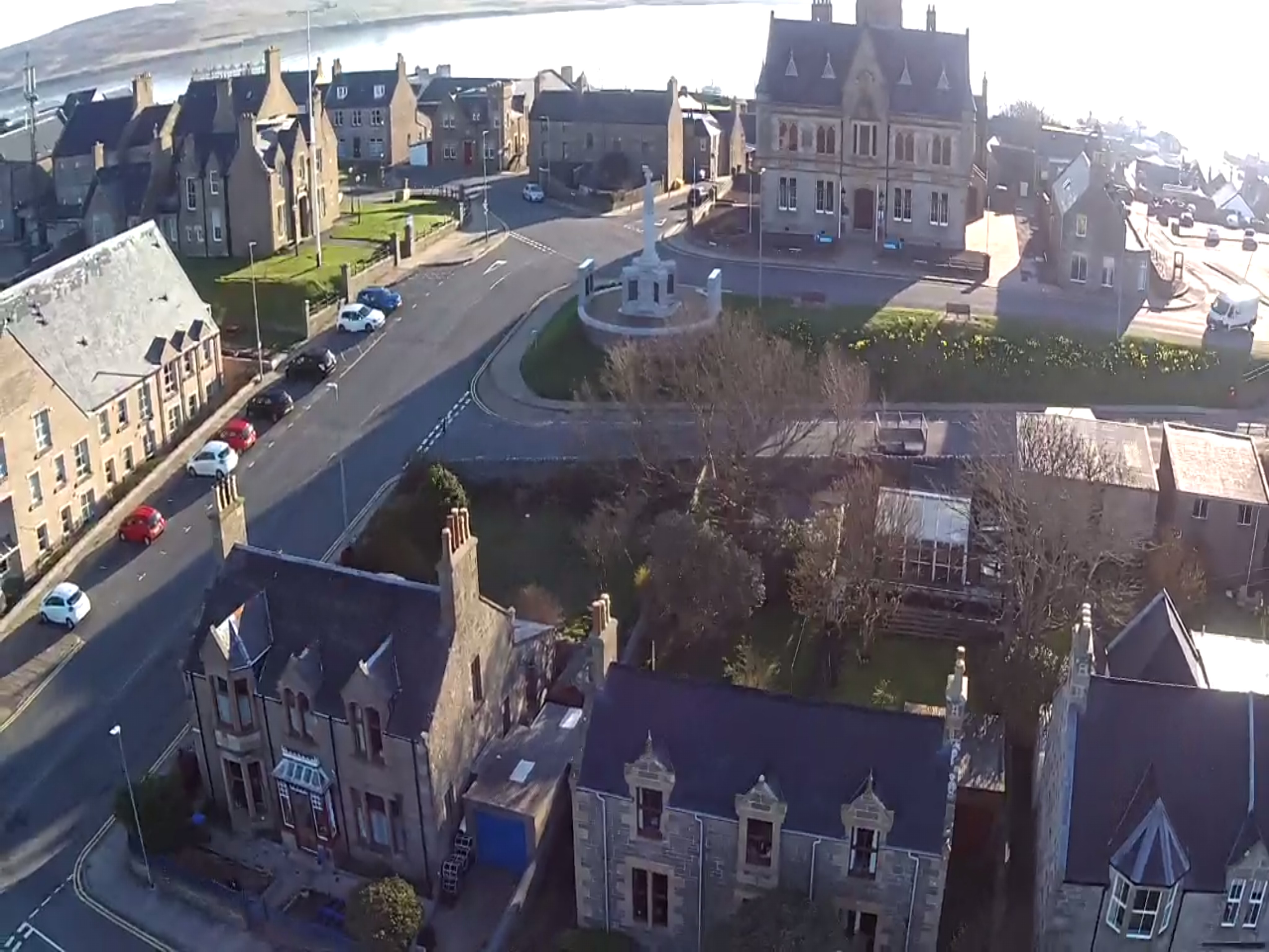
Lerwick
Lerwick ( or ; Old Norse: Leirvik; Norn: Larvik) is the main town and port of the Shetland archipelago, Scotland. Shetland's only burgh, Lerwick had a...
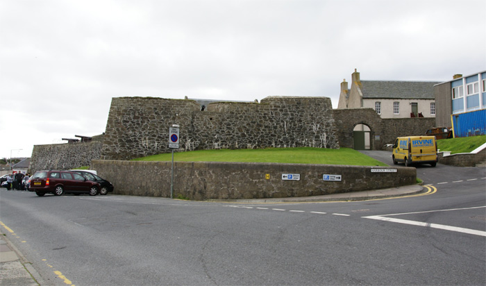
Fort Charlotte, Shetland
Fort Charlotte in the centre of Lerwick, Shetland, is an artillery fort, roughly five sided, with bastions on each of three landward corners, and half...

County Buildings, Lerwick
County Buildings is a municipal structure in King Erik Street, Lerwick, Shetland, Scotland. The structure, which is used as a judicial complex, is a Category...
Nearby Amenities
Located within 500m of 60.135044,-1.1259748Have you been to South Geos of Ducka?
Leave your review of South Geos of Ducka below (or comments, questions and feedback).