Beach of Ham
Beach in Shetland
Scotland
Beach of Ham

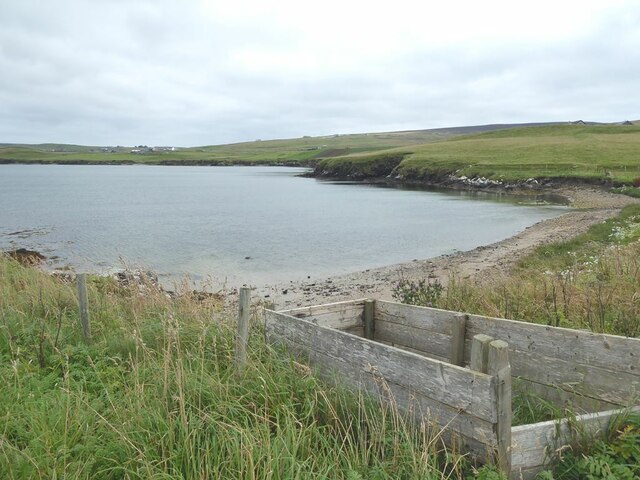
The Beach of Ham is a picturesque coastal area located in the Shetland Islands, Scotland. Situated on the west coast of the island of Yell, it is renowned for its pristine sandy beach and stunning natural beauty. The beach stretches for approximately one mile, with its golden sands meeting the sparkling turquoise waters of the North Sea.
The Beach of Ham offers visitors a tranquil and serene environment, perfect for relaxing and enjoying the surrounding scenery. The beach is flanked by rugged cliffs and grassy dunes, providing a breathtaking backdrop to the sandy shores. The crystal-clear waters are relatively calm, making it a popular spot for swimming and paddling during the warmer months.
Nature enthusiasts will be delighted by the wide variety of wildlife that can be spotted in the area. Seals can often be seen basking on the rocks, while seabirds soar overhead. The beach is also home to a diverse range of plant species, including wildflowers and grasses, adding to its natural charm.
Access to the Beach of Ham is relatively straightforward, with a car park and a short walk down to the shore. There are no facilities directly on the beach, so visitors are advised to bring their own food and drinks. However, nearby facilities, such as public toilets and a café, can be found within a short distance.
Overall, the Beach of Ham is a hidden gem in the Shetland Islands, offering visitors a peaceful and scenic retreat amidst stunning natural surroundings.
If you have any feedback on the listing, please let us know in the comments section below.
Beach of Ham Images
Images are sourced within 2km of 60.13986/-1.1223181 or Grid Reference HU4839. Thanks to Geograph Open Source API. All images are credited.


Beach of Ham is located at Grid Ref: HU4839 (Lat: 60.13986, Lng: -1.1223181)
Unitary Authority: Shetland Islands
Police Authority: Highlands and Islands
What 3 Words
///accordion.interlude.brains. Near Lerwick, Shetland Islands
Related Wikis

Lerwick and Bressay Parish Church
Lerwick and Bressay Parish Church is the largest Church of Scotland congregation in Shetland, serving the islands' capital Lerwick and the surrounding...
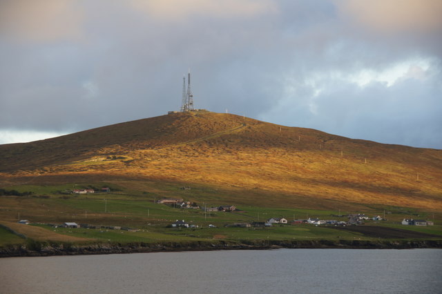
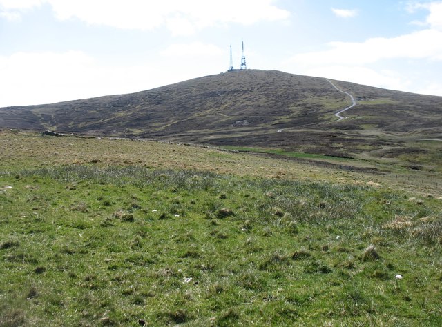
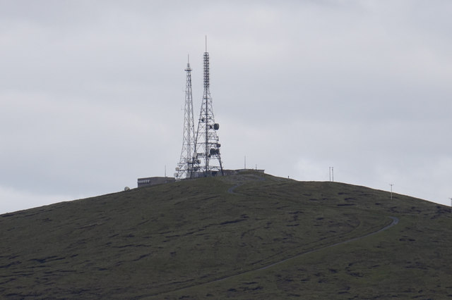
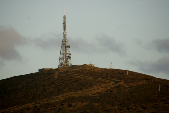
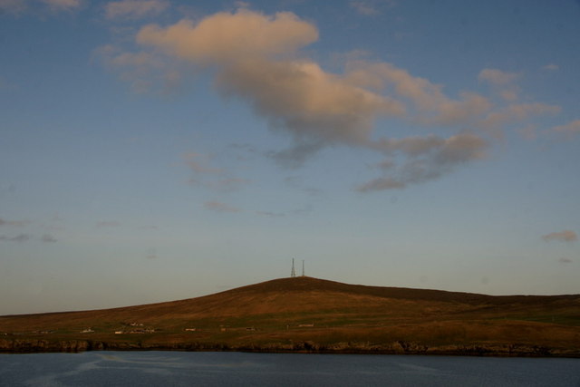
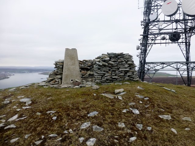
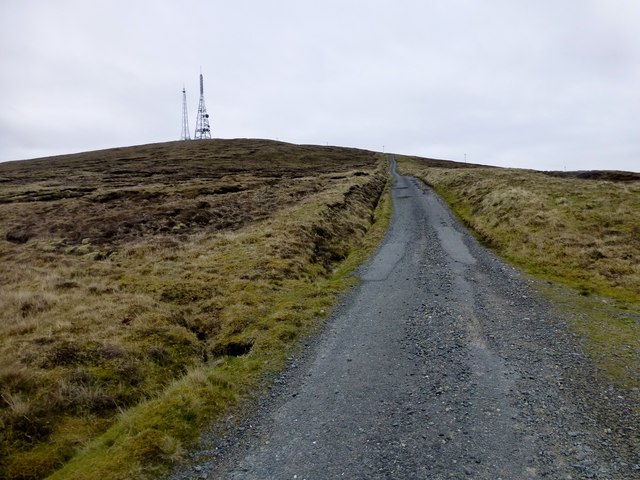
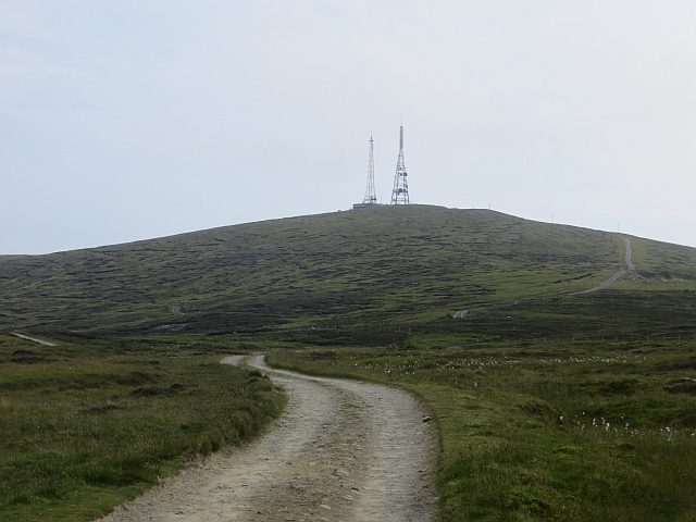
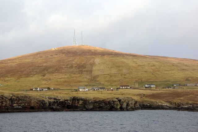
Bressay transmitting station
Bressay transmitting station is a broadcasting transmission facility for the Shetland Islands, located on the isle of Bressay, owned and operated by Arqiva...

Shetland Library
Shetland Library is the public library service of Shetland, with its main branch based in Lerwick. Membership is open to both residents of and visitors...

Lerwick Town Hall
Lerwick Town Hall is a municipal building located on Hillhead in Lerwick, Shetland, Scotland. It is used as an events venue and registrar's office. The...
Lerwick
Lerwick ( or ; Old Norse: Leirvik; Norn: Larvik) is the main town and port of the Shetland archipelago, Scotland. Shetland's only burgh, Lerwick had a...
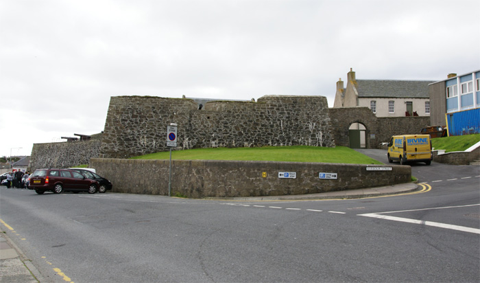
Fort Charlotte, Shetland
Fort Charlotte in the centre of Lerwick, Shetland, is an artillery fort, roughly five sided, with bastions on each of three landward corners, and half...

County Buildings, Lerwick
County Buildings is a municipal structure in King Erik Street, Lerwick, Shetland, Scotland. The structure, which is used as a judicial complex, is a Category...
Garrison Theatre
The Garrison Theatre is a 280-capacity venue in Lerwick, Shetland, Scotland, with a sprung proscenium stage with fixed raked seating. The auditorium has...
Nearby Amenities
Located within 500m of 60.13986,-1.1223181Have you been to Beach of Ham?
Leave your review of Beach of Ham below (or comments, questions and feedback).