Boadie Geo
Coastal Feature, Headland, Point in Shetland
Scotland
Boadie Geo

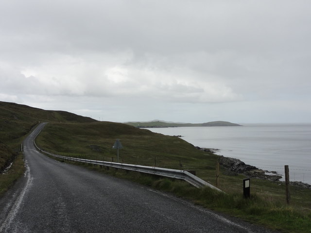
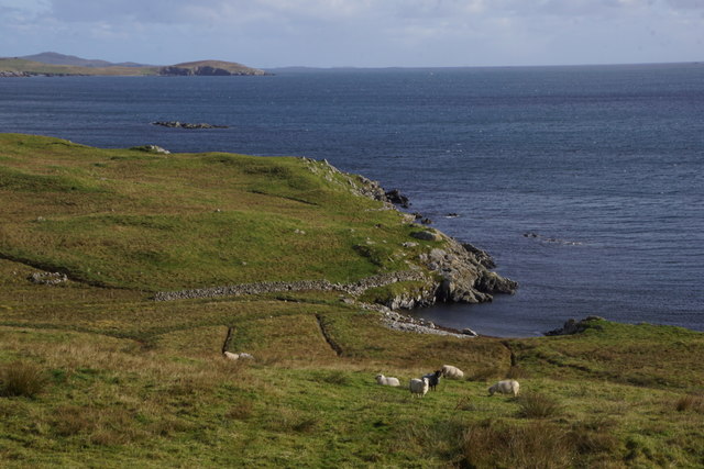
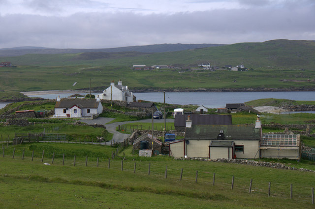
Boadie Geo is a prominent coastal feature located on the Shetland Islands, an archipelago situated between the North Sea and the Atlantic Ocean. Specifically, it is a headland or point that juts out into the sea, offering a stunning view of the surrounding coastline.
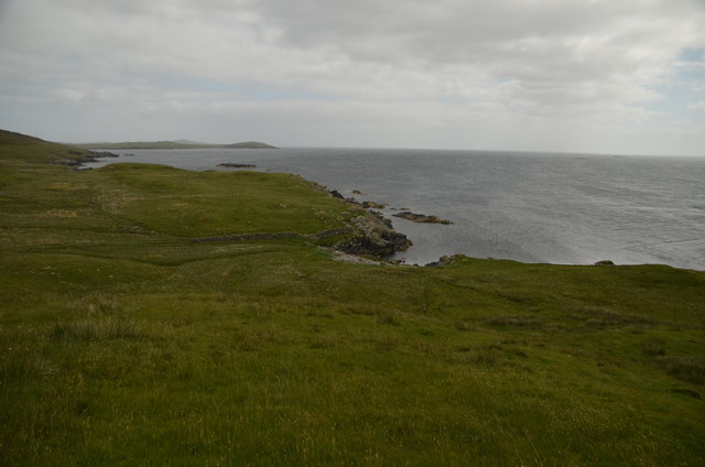
Boadie Geo is characterized by its rugged cliffs, which rise dramatically from the crashing waves below. These cliffs are composed of ancient rock formations, displaying layers of sedimentary rock that provide geologists with valuable insights into the region's geological history. The cliff faces are weathered and eroded, showcasing the power of the sea over time.
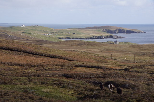
The headland itself is relatively small compared to some of the other prominent features on the Shetland Islands. It is primarily composed of grassy slopes, dotted with wildflowers during the summer months. As one walks towards the edge of the headland, the ground becomes rockier, with scattered boulders and exposed bedrock.
Boadie Geo is a popular site for birdwatching enthusiasts, as it provides an excellent vantage point for observing various seabird species. Visitors can spot gulls, fulmars, kittiwakes, and even puffins during the nesting season. The cliffs also provide nesting sites for shags and guillemots, adding to the rich biodiversity of the area.
In addition to its natural beauty, Boadie Geo holds historical significance. It is believed to have been used as a lookout point during Viking times, with its strategic location offering a clear view of the surrounding waters. This connection to the past adds an extra layer of fascination to this already captivating coastal feature.
If you have any feedback on the listing, please let us know in the comments section below.
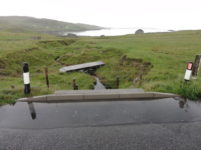
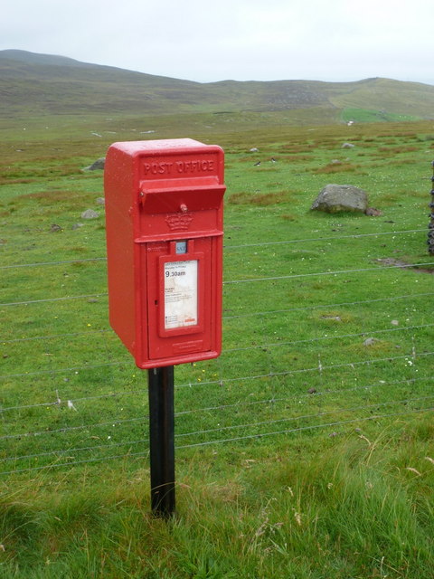
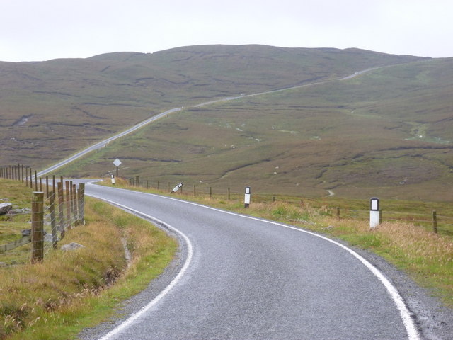
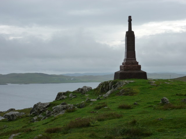
Boadie Geo Images
Images are sourced within 2km of 60.285281/-1.1488437 or Grid Reference HU4755. Thanks to Geograph Open Source API. All images are credited.


Boadie Geo is located at Grid Ref: HU4755 (Lat: 60.285281, Lng: -1.1488437)
Unitary Authority: Shetland Islands
Police Authority: Highlands and Islands
What 3 Words
///science.forms.deflation. Near Symbister, Shetland Islands
Nearby Locations
Related Wikis

Brettabister
Brettabister is a settlement on the island of Mainland in Shetland, Scotland. It is in the parish of Nesting. St. Ola's parish church lies to the east...

Nesting, Shetland
Nesting is a parish in the Shetland Islands, Scotland. It includes a part of the east Shetland Mainland, measuring about twelve by four miles (19 by 6...

RAF Catfirth
RAF Catfirth was a First World War seaplane base located on the island of Mainland in the Shetland Islands, Scotland. The base was under the control of...
Freester
Freester is a settlement on Mainland, Shetland, Scotland. It is in the parish of Nesting. == References == == External links == Canmore - Hard Knowe site...
Geopark Shetland
Geopark Shetland is the name used by the Geopark formally established in September 2009 on its entry into the European Geoparks Network. The Geopark extends...

Neap
Neap is a small village in the east coast of the Mainland of the Shetland Islands, Scotland. Neap is situated at the end of the road from Brettabister...

Billister
Billister is a settlement in the parish of Nesting, on the island of Mainland, in Shetland, Scotland. It is on Lax Firth. Billister was formerly the terminal...
Viking Wind Farm
Viking Wind Farm is a large on-shore wind farm under construction in the Shetland Islands which is being developed by Viking Energy, a partnership between...
Nearby Amenities
Located within 500m of 60.285281,-1.1488437Have you been to Boadie Geo?
Leave your review of Boadie Geo below (or comments, questions and feedback).