Turness Bay
Bay in Shetland
Scotland
Turness Bay

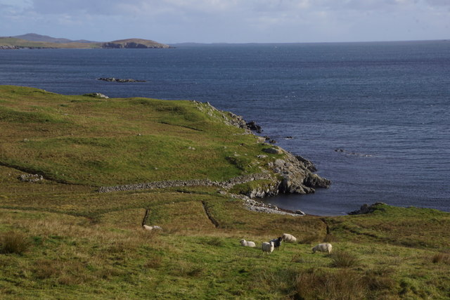
Turness Bay is a picturesque bay located on the west coast of the Shetland Mainland, Scotland. Situated approximately 5 miles south of the town of Walls, it is known for its stunning natural beauty and tranquil surroundings.
The bay is characterized by its sandy beach, which stretches for about 1.5 miles along the coastline. The sand is soft and golden, providing a perfect spot for sunbathing, picnicking, and leisurely walks. It is also a popular destination for birdwatchers, as the bay attracts a variety of seabirds, including puffins, fulmars, and guillemots.
The surrounding area is predominantly agricultural, with rolling green fields and scattered crofts adding to the charm of the bay. The landscape is dotted with traditional Shetland houses and a few modern cottages, giving a sense of the local community's history and heritage.
Turness Bay offers stunning views of the nearby cliffs and rocky outcrops, providing a dramatic backdrop to the bay's tranquil waters. It is also a fantastic spot for sea kayaking, sailing, and fishing, attracting outdoor enthusiasts and water sport lovers.
Access to Turness Bay is relatively easy, with a car park located nearby and a well-maintained footpath leading down to the beach. The bay is a hidden gem that offers a peaceful and idyllic retreat for visitors seeking a break from the hustle and bustle of everyday life.
If you have any feedback on the listing, please let us know in the comments section below.
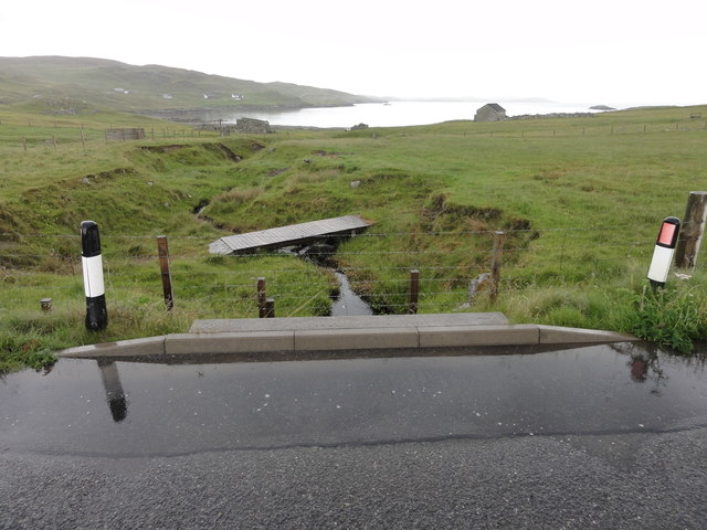
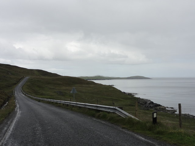
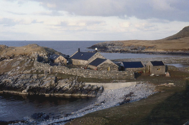
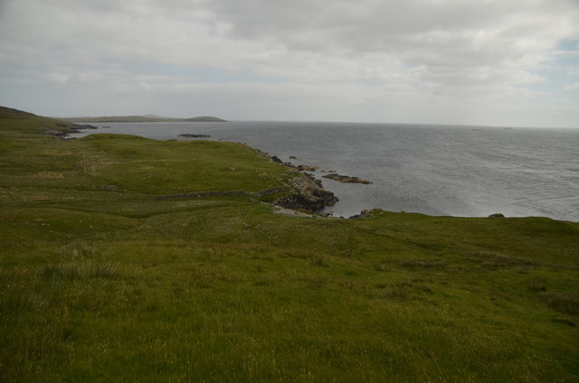
Turness Bay Images
Images are sourced within 2km of 60.278613/-1.1507889 or Grid Reference HU4755. Thanks to Geograph Open Source API. All images are credited.


Turness Bay is located at Grid Ref: HU4755 (Lat: 60.278613, Lng: -1.1507889)
Unitary Authority: Shetland Islands
Police Authority: Highlands and Islands
What 3 Words
///slides.launcher.regarding. Near Symbister, Shetland Islands
Nearby Locations
Related Wikis

Brettabister
Brettabister is a settlement on the island of Mainland in Shetland, Scotland. It is in the parish of Nesting. St. Ola's parish church lies to the east...

Freester
Freester is a settlement on Mainland, Shetland, Scotland. It is in the parish of Nesting. == References == == External links == Canmore - Hard Knowe site...
Nesting, Shetland
Nesting is a parish in the Shetland Islands, Scotland. It includes a part of the east Shetland Mainland, measuring about twelve by four miles (19 by 6...

RAF Catfirth
RAF Catfirth was a First World War seaplane base located on the island of Mainland in the Shetland Islands, Scotland. The base was under the control of...
Geopark Shetland
Geopark Shetland is the name used by the Geopark formally established in September 2009 on its entry into the European Geoparks Network. The Geopark extends...

North Isle of Gletness
The North Isle of Gletness is one of the Shetland Islands. It is east of the Shetland Mainland, near Gletness in Nesting parish, and is so called in contradistinction...

Neap
Neap is a small village in the east coast of the Mainland of the Shetland Islands, Scotland. Neap is situated at the end of the road from Brettabister...
Viking Wind Farm
Viking Wind Farm is a large on-shore wind farm under construction in the Shetland Islands which is being developed by Viking Energy, a partnership between...
Nearby Amenities
Located within 500m of 60.278613,-1.1507889Have you been to Turness Bay?
Leave your review of Turness Bay below (or comments, questions and feedback).