West Voe of Skellister
Bay in Shetland
Scotland
West Voe of Skellister

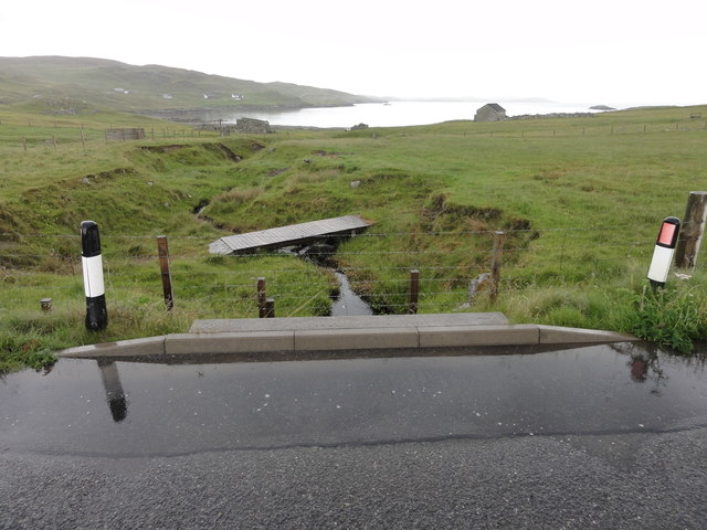
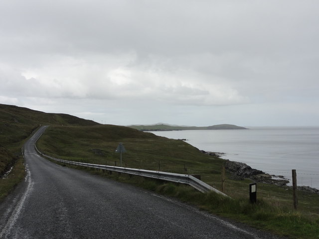
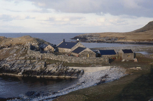
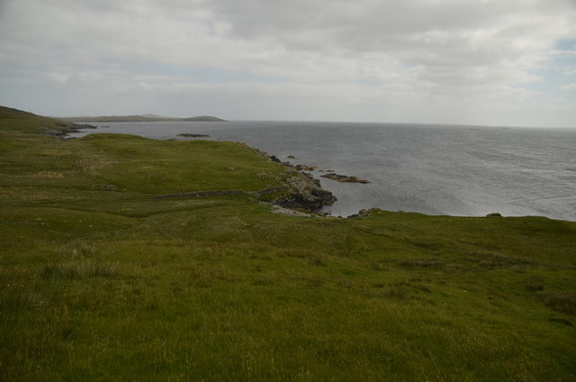
West Voe of Skellister is a picturesque bay located on the west coast of the Shetland Islands, off the northern coast of Scotland. It is situated in the parish of Sandwick, approximately 12 miles west of the Shetland capital, Lerwick. With its stunning natural beauty and tranquil atmosphere, West Voe of Skellister has become a popular destination for locals and tourists alike.
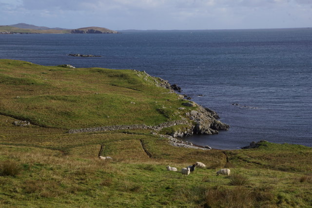
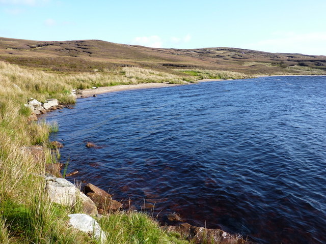
The bay is characterized by its pristine white sandy beach, which stretches for about half a mile and is flanked by rugged cliffs on either side. The crystal-clear turquoise waters of the North Sea gently lap against the shore, providing a perfect spot for swimming and beachcombing. The bay is also known for its rich marine life, making it an excellent location for snorkeling and diving enthusiasts.
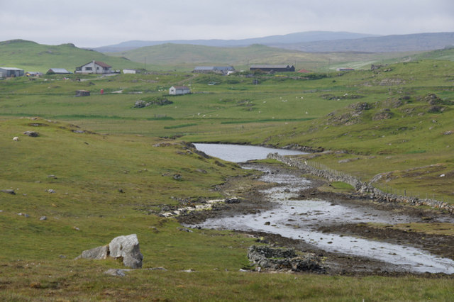
Surrounded by rolling hills and green pastures, West Voe of Skellister offers breathtaking panoramic views of the surrounding countryside. The area is home to a diverse range of flora and fauna, including seabirds, seals, and occasionally even whales and dolphins.
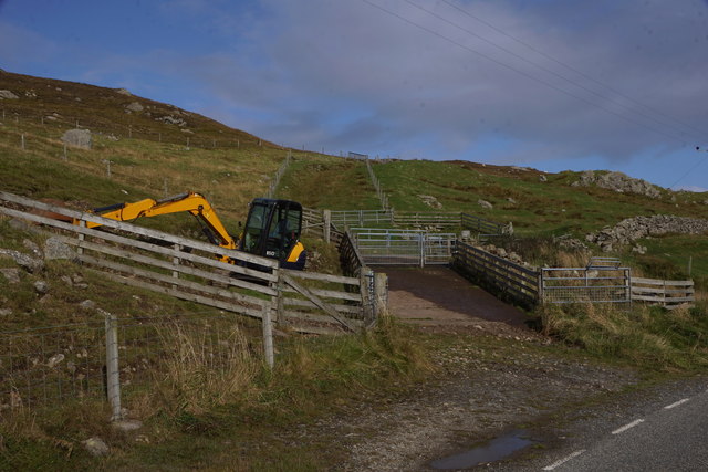
The bay is easily accessible by road, with a car park available for visitors. Facilities such as public toilets and a small café can be found nearby, ensuring visitors have a comfortable and enjoyable experience.
Whether it's for a leisurely stroll along the beach, a refreshing dip in the sea, or simply to admire the stunning scenery, West Voe of Skellister is a must-visit destination for nature lovers and those seeking solace in the beauty of the Shetland Islands.
If you have any feedback on the listing, please let us know in the comments section below.
West Voe of Skellister Images
Images are sourced within 2km of 60.281961/-1.1492193 or Grid Reference HU4755. Thanks to Geograph Open Source API. All images are credited.


West Voe of Skellister is located at Grid Ref: HU4755 (Lat: 60.281961, Lng: -1.1492193)
Unitary Authority: Shetland Islands
Police Authority: Highlands and Islands
What 3 Words
///beefed.protrude.flaked. Near Symbister, Shetland Islands
Nearby Locations
Related Wikis

Brettabister
Brettabister is a settlement on the island of Mainland in Shetland, Scotland. It is in the parish of Nesting. St. Ola's parish church lies to the east...

Nesting, Shetland
Nesting is a parish in the Shetland Islands, Scotland. It includes a part of the east Shetland Mainland, measuring about twelve by four miles (19 by 6...

RAF Catfirth
RAF Catfirth was a First World War seaplane base located on the island of Mainland in the Shetland Islands, Scotland. The base was under the control of...
Freester
Freester is a settlement on Mainland, Shetland, Scotland. It is in the parish of Nesting. == References == == External links == Canmore - Hard Knowe site...
Geopark Shetland
Geopark Shetland is the name used by the Geopark formally established in September 2009 on its entry into the European Geoparks Network. The Geopark extends...

North Isle of Gletness
The North Isle of Gletness is one of the Shetland Islands. It is east of the Shetland Mainland, near Gletness in Nesting parish, and is so called in contradistinction...

Neap
Neap is a small village in the east coast of the Mainland of the Shetland Islands, Scotland. Neap is situated at the end of the road from Brettabister...

Billister
Billister is a settlement in the parish of Nesting, on the island of Mainland, in Shetland, Scotland. It is on Lax Firth. Billister was formerly the terminal...
Nearby Amenities
Located within 500m of 60.281961,-1.1492193Have you been to West Voe of Skellister?
Leave your review of West Voe of Skellister below (or comments, questions and feedback).