Tur Ness
Coastal Feature, Headland, Point in Shetland
Scotland
Tur Ness

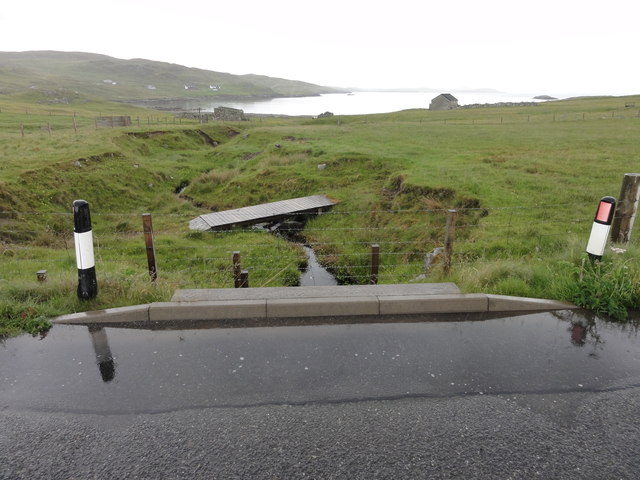
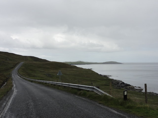
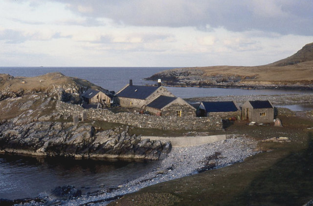
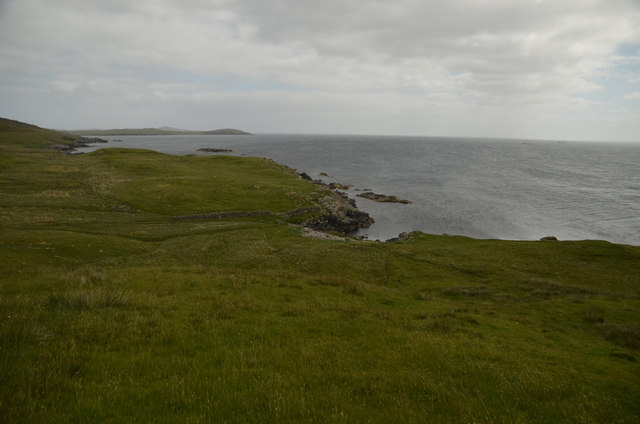
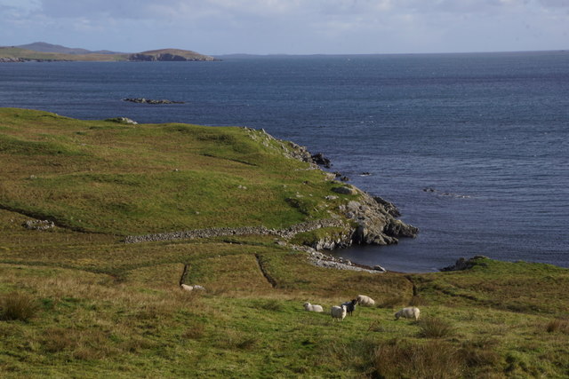
Tur Ness is a prominent coastal feature located in the Shetland Islands, off the northern coast of Scotland. Situated on the mainland of the Shetland archipelago, it is a headland that juts out into the North Sea. The name "Tur Ness" is derived from the Old Norse word "thor," meaning "promontory," emphasizing its remarkable geographical significance.
This headland is characterized by its rugged and dramatic cliffs, which are composed of sandstone and conglomerate rock formations. These cliffs rise steeply from the sea, providing a striking contrast against the surrounding landscape. The height of the cliffs varies, reaching up to approximately 150 feet (46 meters) at certain points. The exposed nature of Tur Ness makes it vulnerable to strong winds and powerful waves, creating a fascinating spectacle for visitors.
The coastal area around Tur Ness is rich in biodiversity, supporting a diverse range of flora and fauna. The cliffs provide nesting sites for various seabird species, including puffins, guillemots, and fulmars. Visitors to Tur Ness can witness these birds soaring above the cliffs and nesting in the rocky crevices. Additionally, the surrounding waters are home to a variety of marine life, such as seals and dolphins, which can often be spotted from the headland.
Tur Ness offers breathtaking panoramic views of the North Sea, with its vast expanse stretching out to the horizon. The headland is a popular destination for nature enthusiasts, hikers, and photographers, who are captivated by its natural beauty and unique coastal features. Whether exploring the rugged cliffs or admiring the diverse wildlife, Tur Ness provides an unforgettable experience in the remote and picturesque landscape of the Shetland Islands.
If you have any feedback on the listing, please let us know in the comments section below.
Tur Ness Images
Images are sourced within 2km of 60.278143/-1.1517955 or Grid Reference HU4755. Thanks to Geograph Open Source API. All images are credited.


Tur Ness is located at Grid Ref: HU4755 (Lat: 60.278143, Lng: -1.1517955)
Unitary Authority: Shetland Islands
Police Authority: Highlands and Islands
What 3 Words
///smaller.cleansed.unhappily. Near Symbister, Shetland Islands
Related Wikis

Freester
Freester is a settlement on Mainland, Shetland, Scotland. It is in the parish of Nesting. == References == == External links == Canmore - Hard Knowe site...

RAF Catfirth
RAF Catfirth was a First World War seaplane base located on the island of Mainland in the Shetland Islands, Scotland. The base was under the control of...

Brettabister
Brettabister is a settlement on the island of Mainland in Shetland, Scotland. It is in the parish of Nesting. St. Ola's parish church lies to the east...
Nesting, Shetland
Nesting is a parish in the Shetland Islands, Scotland. It includes a part of the east Shetland Mainland, measuring about twelve by four miles (19 by 6...
Geopark Shetland
Geopark Shetland is the name used by the Geopark formally established in September 2009 on its entry into the European Geoparks Network. The Geopark extends...

North Isle of Gletness
The North Isle of Gletness is one of the Shetland Islands. It is east of the Shetland Mainland, near Gletness in Nesting parish, and is so called in contradistinction...

Neap
Neap is a small village in the east coast of the Mainland of the Shetland Islands, Scotland. Neap is situated at the end of the road from Brettabister...
Viking Wind Farm
Viking Wind Farm is a large on-shore wind farm under construction in the Shetland Islands which is being developed by Viking Energy, a partnership between...
Nearby Amenities
Located within 500m of 60.278143,-1.1517955Have you been to Tur Ness?
Leave your review of Tur Ness below (or comments, questions and feedback).