Corbie Geo
Coastal Feature, Headland, Point in Shetland
Scotland
Corbie Geo
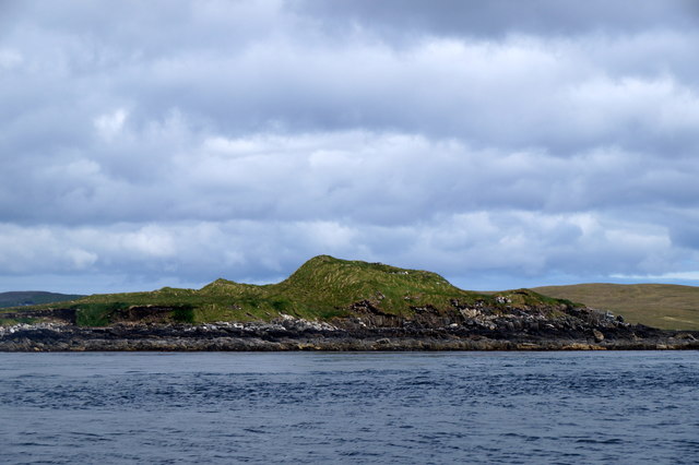
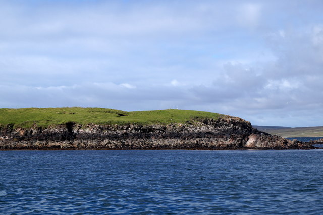
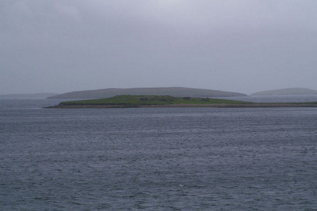
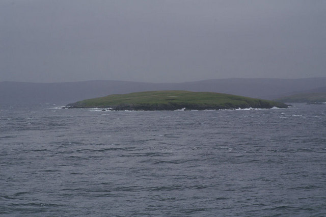
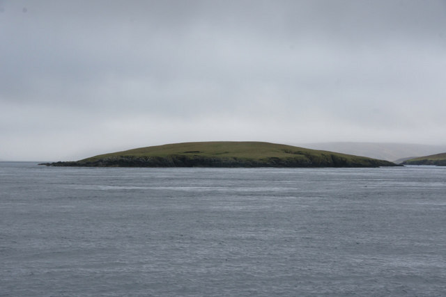
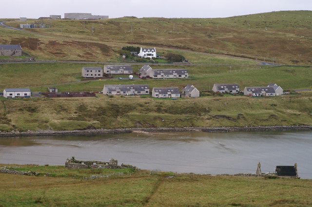
Corbie Geo is a prominent coastal feature located on the Shetland Islands, Scotland. Known for its breathtaking beauty and unique geological formations, it is a popular destination for tourists and nature enthusiasts. Corbie Geo is classified as a headland, also referred to as a point, due to its geographical characteristics.
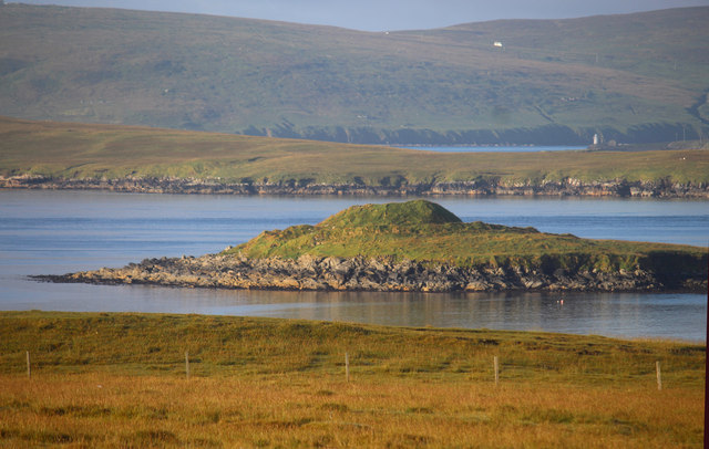
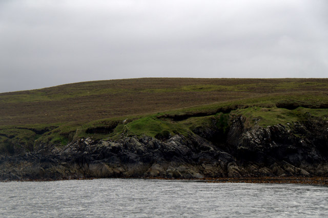
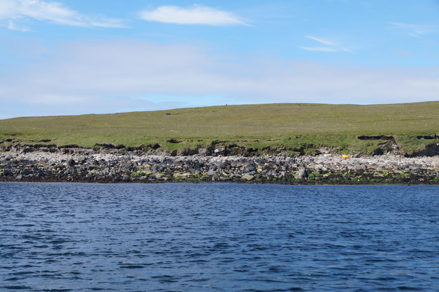
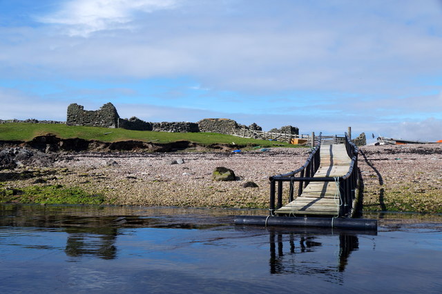
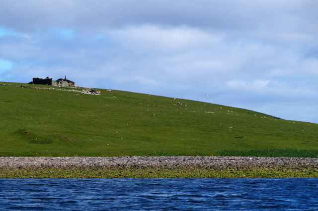
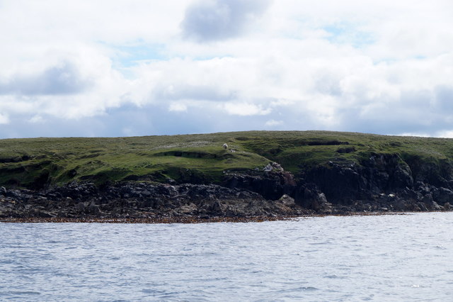
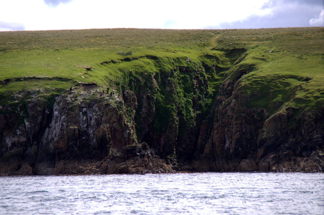
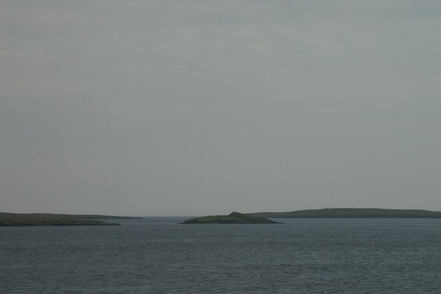
Situated on the eastern coast of the mainland, Corbie Geo stands tall with its towering cliffs that rise above the North Sea. The cliffs are composed of layers of sedimentary rock, showcasing the geological history of the region. Over millions of years, erosion by the relentless waves has carved out the stunning sea caves, arches, and stacks that adorn the area.
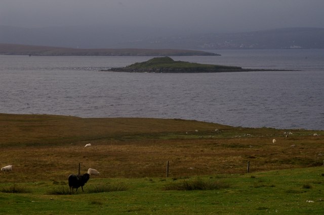
The rugged and dramatic landscape of Corbie Geo is home to a diverse range of plant and animal species. Visitors can witness seabirds such as puffins, fulmars, and guillemots nesting on the cliffs during the breeding season. The surrounding waters are also inhabited by various marine life, including seals and dolphins, making it an excellent spot for wildlife spotting.
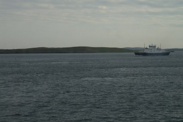
Access to Corbie Geo is relatively easy, with a well-maintained path leading to the headland. From the viewpoint, visitors can marvel at the panoramic views of the sea, the neighboring islands, and the rugged coastline. The crashing waves, combined with the natural beauty of the area, create a mesmerizing and tranquil atmosphere.
Overall, Corbie Geo is a must-visit for those seeking to explore the stunning coastal landscapes of the Shetland Islands. With its geological significance, rich biodiversity, and breathtaking views, it offers a truly unforgettable experience for nature lovers and adventure seekers alike.
If you have any feedback on the listing, please let us know in the comments section below.
Corbie Geo Images
Images are sourced within 2km of 60.465646/-1.1439821 or Grid Reference HU4776. Thanks to Geograph Open Source API. All images are credited.
Corbie Geo is located at Grid Ref: HU4776 (Lat: 60.465646, Lng: -1.1439821)
Unitary Authority: Shetland Islands
Police Authority: Highlands and Islands
What 3 Words
///version.eruptions.clay. Near Toft, Shetland Islands
Nearby Locations
Related Wikis

Samphrey
Samphrey (Scots: Samphrey; Old Norse: Sandfriðarey) is an uninhabited island in the Shetland Islands, Scotland. One of Fair Isle's old names is "Friðarey...
Fish Holm
Fish Holm is a small island, 1.5 miles (2.4 km) east of Mainland, Shetland. It is near the village of Mossbank. It is 20 metres (66 ft) at its highest...
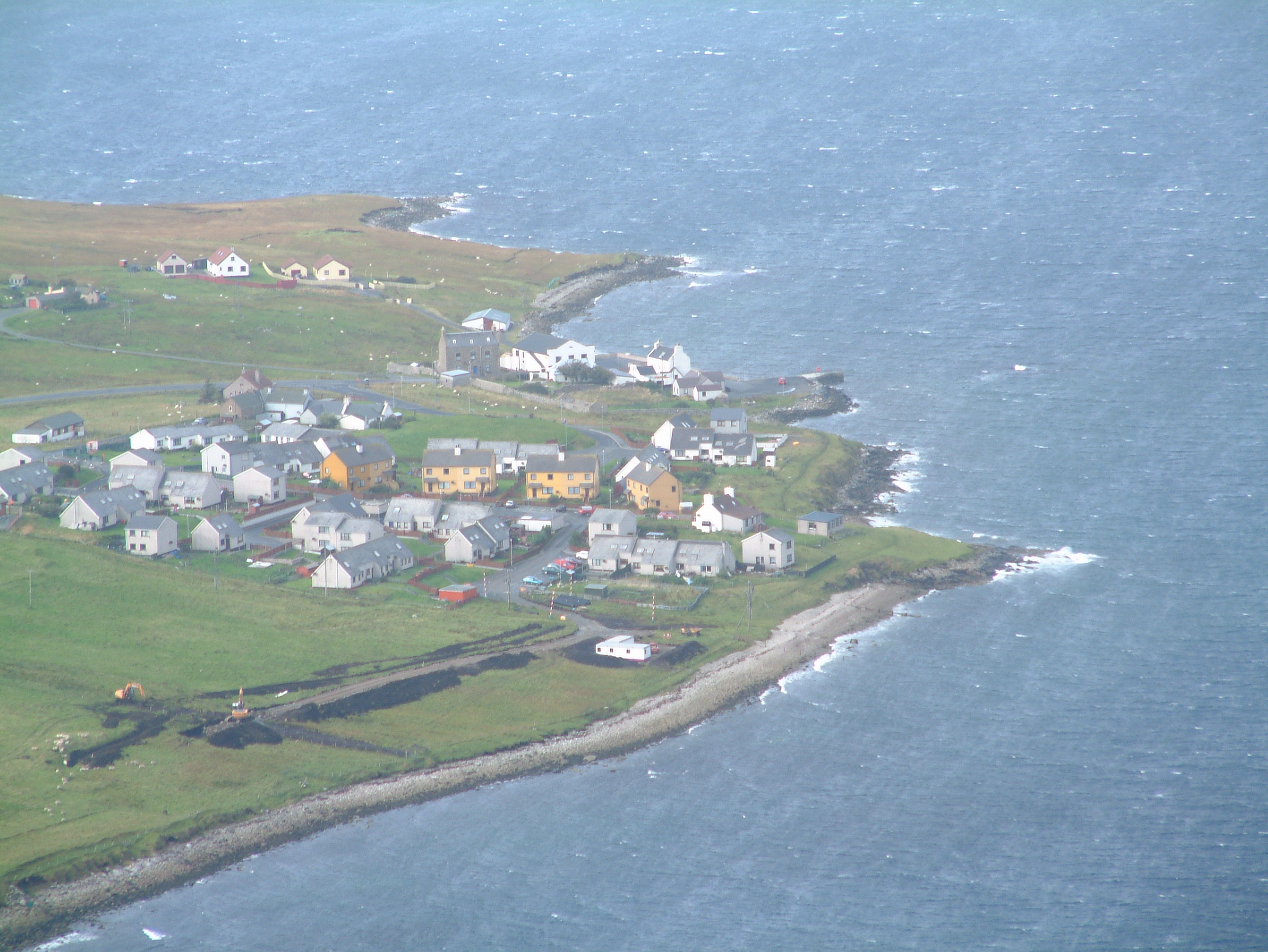
Mossbank, Shetland
Mossbank is a village in the north east of the Mainland of Shetland, Scotland. Originally served by an inter island ferry steamer from Lerwick, this ceased...

Orfasay
Orfasay (Old Norse: Orfyrisey, meaning "tidal island") is one of the Shetland Islands. == Geography == Orfasay is a tidal island in Yell Sound, connected...
Linga, Yell Sound
Linga is one of the Shetland Islands, in Yell Sound. == Geography and geology == Linga is an extremely common name in Shetland, meaning heather island...

Copister
Copister is a village in Yell. It is a former centre for haaf fishing, and has a shingle beach. == References == Blackadder, Jill Slee (2003). Shetland...

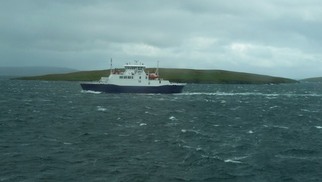
Toft, Shetland
Toft is a ferry port approximately one mile north of Mossbank on Mainland, Shetland, Scotland. From here, a car ferry service to Ulsta on the island of...
Firth, Shetland
Note: "Firth" is a common name for sounds in ShetlandFirth is a village in the north east of Mainland, Shetland, Scotland, in the parish of Delting, not...
Have you been to Corbie Geo?
Leave your review of Corbie Geo below (or comments, questions and feedback).