Longa Skerry
Coastal Feature, Headland, Point in Shetland
Scotland
Longa Skerry
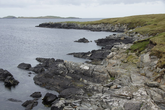
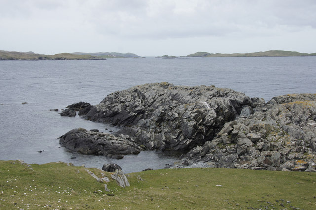
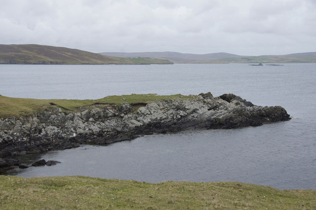
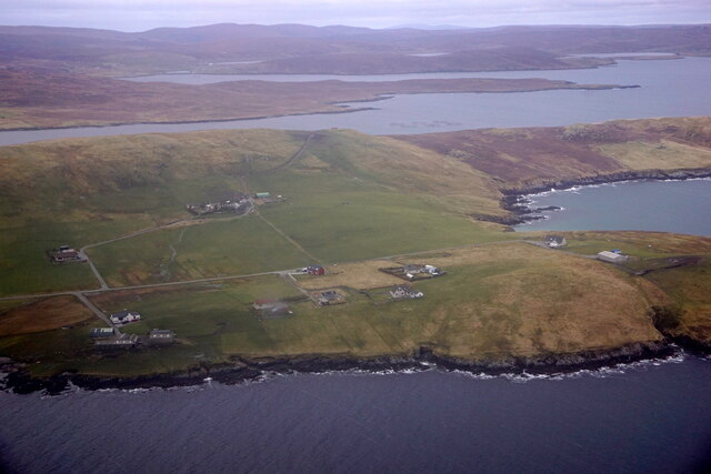
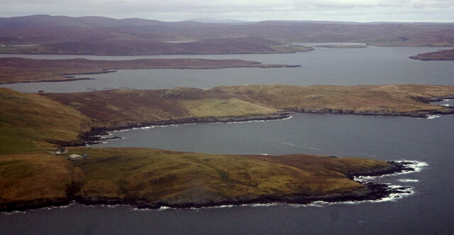
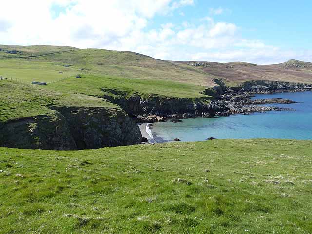
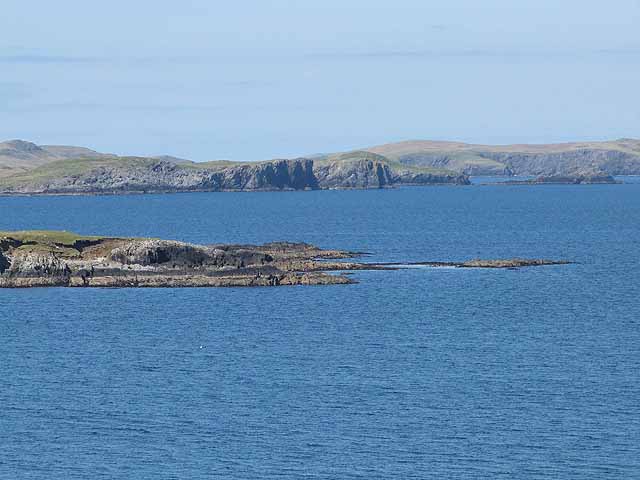
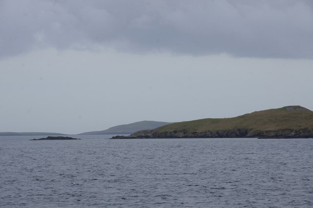
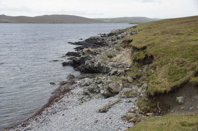
Longa Skerry is a captivating coastal feature located in the Shetland Islands, off the northeast coast of Scotland. It is a prominent headland that juts out into the tumultuous North Atlantic Ocean, forming a distinct point along the rugged Shetland coastline.
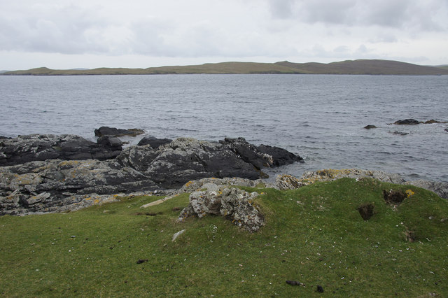
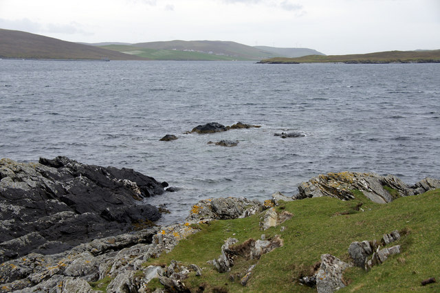
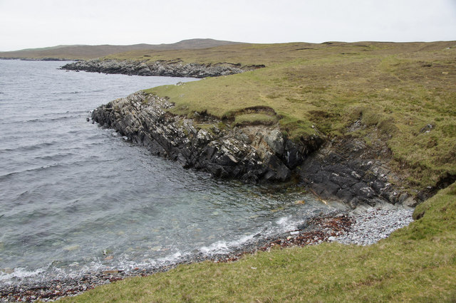
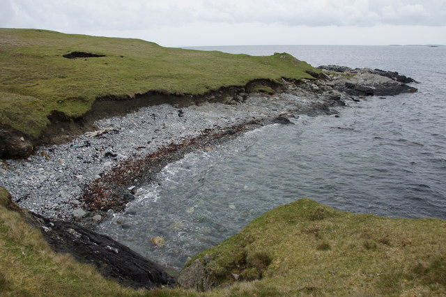
This headland is known for its dramatic and picturesque landscape, characterized by towering cliffs that rise vertically from the crashing waves below. The cliffs, which reach impressive heights of up to 200 feet, are composed of ancient volcanic rocks that have been sculpted by centuries of erosion. The striking combination of sheer cliffs and the relentless power of the ocean creates a mesmerizing spectacle for visitors.
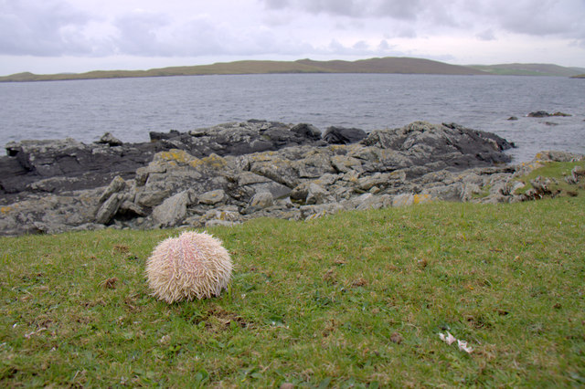
Longa Skerry is also renowned for its diverse wildlife, providing a vital habitat for numerous seabirds. The headland is home to large colonies of puffins, guillemots, and kittiwakes, which nest in the cliffs during the breeding season. These seabirds create a cacophony of calls, adding to the ethereal beauty of the surroundings.
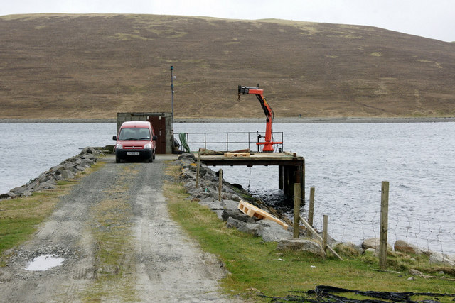
Access to Longa Skerry is limited due to its remote location and challenging terrain. However, for those adventurous enough to visit, the headland offers breathtaking views of the surrounding sea and the distant horizon. The rugged and unspoiled nature of Longa Skerry makes it a popular destination for nature enthusiasts, photographers, and hikers seeking a unique and awe-inspiring experience.
In conclusion, Longa Skerry is a captivating headland along the Shetland coastline, boasting towering cliffs, diverse wildlife, and stunning views of the North Atlantic Ocean. Its remote location and natural beauty make it a must-visit destination for those seeking an unforgettable coastal experience.
If you have any feedback on the listing, please let us know in the comments section below.
Longa Skerry Images
Images are sourced within 2km of 60.217923/-1.1692868 or Grid Reference HU4648. Thanks to Geograph Open Source API. All images are credited.

Longa Skerry is located at Grid Ref: HU4648 (Lat: 60.217923, Lng: -1.1692868)
Unitary Authority: Shetland Islands
Police Authority: Highlands and Islands
What 3 Words
///organs.freezing.salary. Near Lerwick, Shetland Islands
Nearby Locations
Related Wikis

Breiwick
Breiwick is a village on the island of Mainland in Shetland, Scotland. Breiwick is in the parish of Tingwall, and is 1.6 mi (2.5 km) north-east of Gott...

South Isle of Gletness
The South Isle of Gletness is an islet off Gletness, in Nesting in east central, Mainland, Shetland. It is 30m at its highest point. Amongst its features...

North Isle of Gletness
The North Isle of Gletness is one of the Shetland Islands. It is east of the Shetland Mainland, near Gletness in Nesting parish, and is so called in contradistinction...

Freester
Freester is a settlement on Mainland, Shetland, Scotland. It is in the parish of Nesting. == References == == External links == Canmore - Hard Knowe site...
Have you been to Longa Skerry?
Leave your review of Longa Skerry below (or comments, questions and feedback).