Corbie Geo
Coastal Feature, Headland, Point in Shetland
Scotland
Corbie Geo
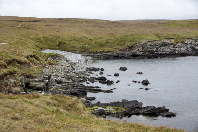
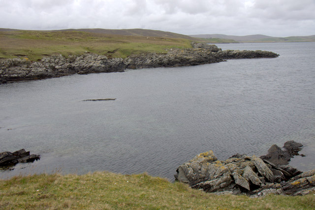
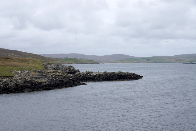
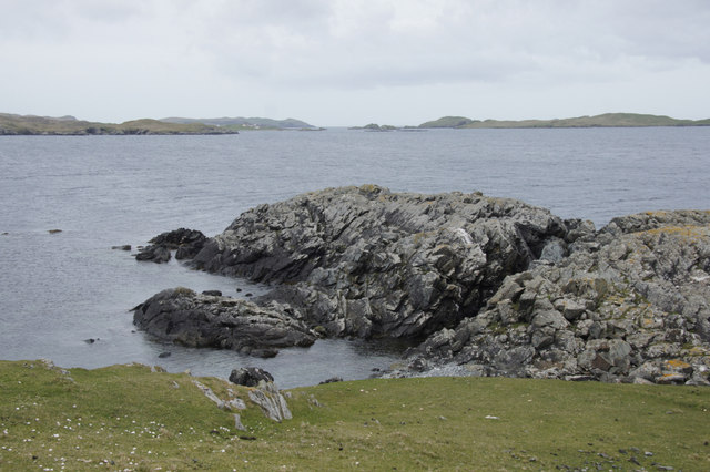
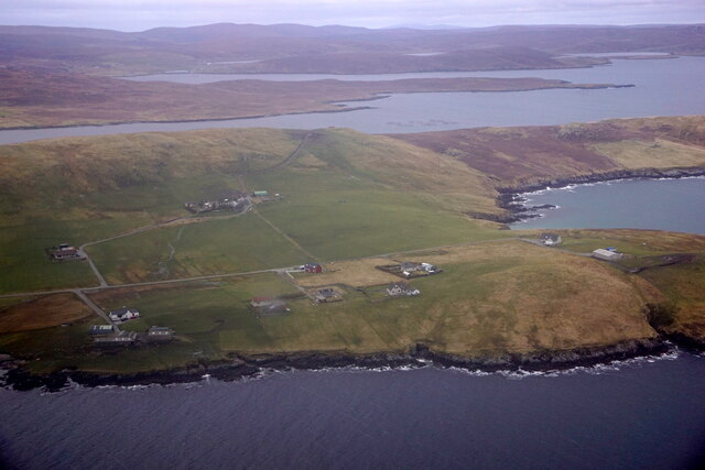
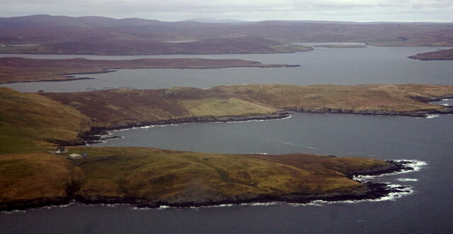
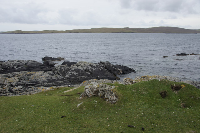
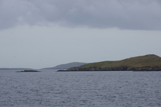
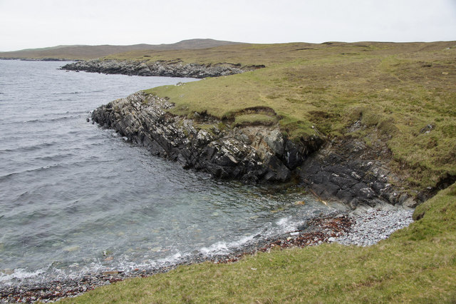
Corbie Geo is a stunning coastal feature located in the Shetland Islands, Scotland. It is a prominent headland and point that offers breathtaking views of the surrounding landscape and the North Sea. This natural wonder is situated on the west coast of the Shetland mainland, near the village of Walls.
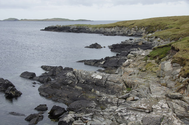
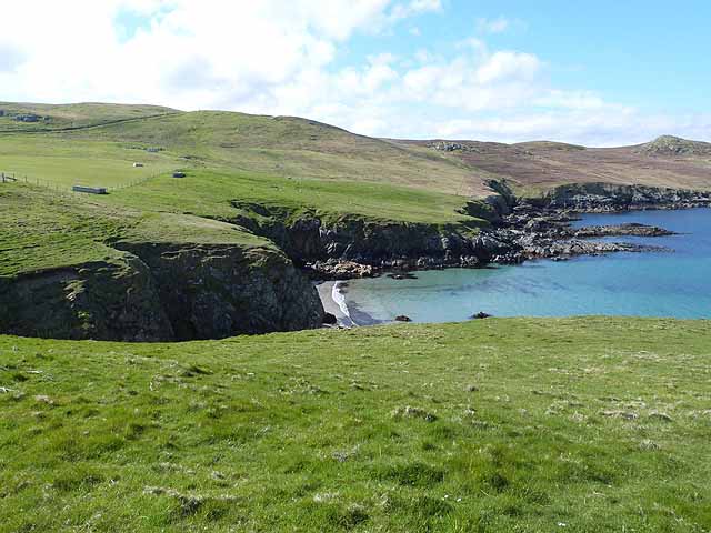
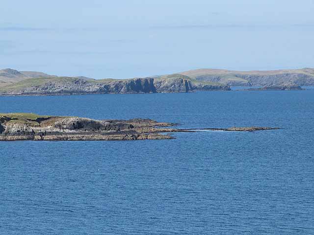
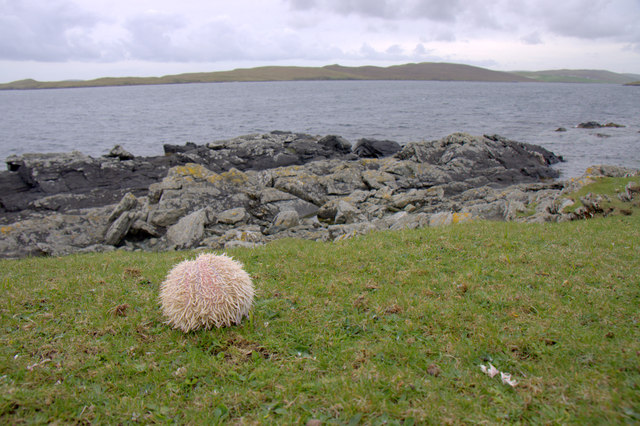
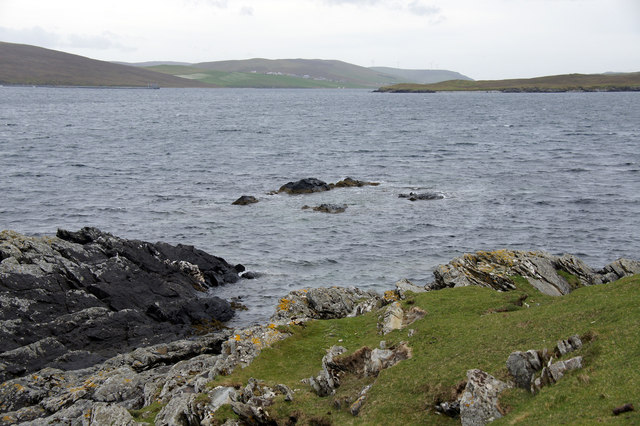
Corbie Geo is characterized by its rugged cliffs, which rise dramatically from the sea to form a natural barrier against the crashing waves. The headland is composed of layers of sedimentary rock, showcasing the geological history of the area. It is a popular spot for geologists and nature enthusiasts to explore and study the unique formations.
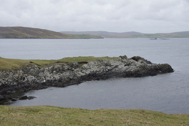
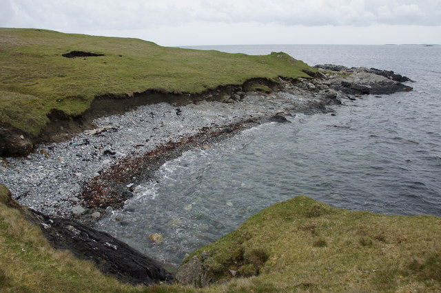
The landscape surrounding Corbie Geo is incredibly diverse, with rolling green hills and a variety of flora and fauna. Visitors can witness an array of seabirds nesting on the cliffs, including puffins, guillemots, and razorbills. The area is also home to seals and otters, which can often be spotted swimming and playing in the waters below.
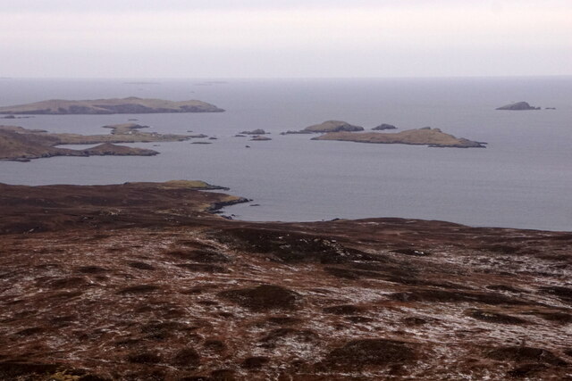
Access to Corbie Geo is relatively easy, with a designated path leading visitors to the top of the headland. From there, they can enjoy panoramic views of the coastline and the neighboring islands. The site is a popular destination for hikers and photographers, as it offers endless opportunities for exploration and capturing breathtaking images.
In conclusion, Corbie Geo is a remarkable coastal feature in the Shetland Islands, boasting stunning cliffs, diverse wildlife, and picturesque scenery. It is a must-visit destination for anyone seeking to experience the natural beauty of this remote and enchanting part of Scotland.
If you have any feedback on the listing, please let us know in the comments section below.
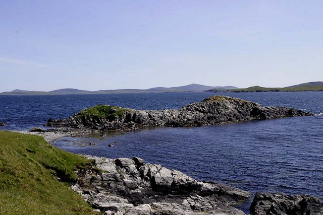
Corbie Geo Images
Images are sourced within 2km of 60.221734/-1.1685587 or Grid Reference HU4648. Thanks to Geograph Open Source API. All images are credited.
Corbie Geo is located at Grid Ref: HU4648 (Lat: 60.221734, Lng: -1.1685587)
Unitary Authority: Shetland Islands
Police Authority: Highlands and Islands
What 3 Words
///stammer.complies.sulky. Near Lerwick, Shetland Islands
Nearby Locations
Related Wikis

South Isle of Gletness
The South Isle of Gletness is an islet off Gletness, in Nesting in east central, Mainland, Shetland. It is 30m at its highest point. Amongst its features...

Breiwick
Breiwick is a village on the island of Mainland in Shetland, Scotland. Breiwick is in the parish of Tingwall, and is 1.6 mi (2.5 km) north-east of Gott...

North Isle of Gletness
The North Isle of Gletness is one of the Shetland Islands. It is east of the Shetland Mainland, near Gletness in Nesting parish, and is so called in contradistinction...

Freester
Freester is a settlement on Mainland, Shetland, Scotland. It is in the parish of Nesting. == References == == External links == Canmore - Hard Knowe site...
Have you been to Corbie Geo?
Leave your review of Corbie Geo below (or comments, questions and feedback).