Beacon Rock
Coastal Feature, Headland, Point in Northumberland
England
Beacon Rock

Beacon Rock is a prominent headland located on the Northumberland coast in northeastern England. Situated in the county of Northumberland, it is part of the wider Northumberland Coast Area of Outstanding Natural Beauty. The rock formation is known for its striking appearance and its geological significance.
Rising to an impressive height of around 30 meters (98 feet), Beacon Rock stands as a prominent landmark along the coast. It is formed mainly of carboniferous sandstone, which gives it a distinctive reddish-brown color. The rock is composed of layers that have been shaped by the erosive forces of the sea, wind, and weather over millions of years.
Visitors to Beacon Rock can enjoy panoramic views of the surrounding coastline and the North Sea. The headland offers a vantage point for observing the diverse marine wildlife, including seabirds and occasional sightings of seals and dolphins.
Due to its striking appearance and natural beauty, Beacon Rock has been the subject of many paintings and photographs. It has also been featured in various literature and poetry, capturing the imagination of many artists and writers.
Beacon Rock is easily accessible for visitors, with a footpath leading to its summit. However, caution is advised as the exposed cliffs can be dangerous, especially during adverse weather conditions. The area is managed by the Northumberland Coast Area of Outstanding Natural Beauty Partnership, which ensures the conservation and preservation of this remarkable coastal feature.
If you have any feedback on the listing, please let us know in the comments section below.
Beacon Rock Images
Images are sourced within 2km of 55.03374/-1.4291929 or Grid Reference NZ3671. Thanks to Geograph Open Source API. All images are credited.


Beacon Rock is located at Grid Ref: NZ3671 (Lat: 55.03374, Lng: -1.4291929)
Unitary Authority: North Tyneside
Police Authority: Northumbria
What 3 Words
///bleat.covers.blame. Near Whitley Bay, Tyne & Wear
Nearby Locations
Related Wikis

Cullercoats
Cullercoats is a coastal settlement in the metropolitan borough of North Tyneside, Tyne and Wear, North East England. Historically in Northumberland, it...

Dove Marine Laboratory
The Dove Marine Laboratory is a research and teaching laboratory which forms part of the School of Marine Science and Technology within Newcastle University...

St George's, Cullercoats
St George's Church in Cullercoats, Tyne and Wear, England, is a church built in the 19th-century French Gothic style. It is an active place of worship...
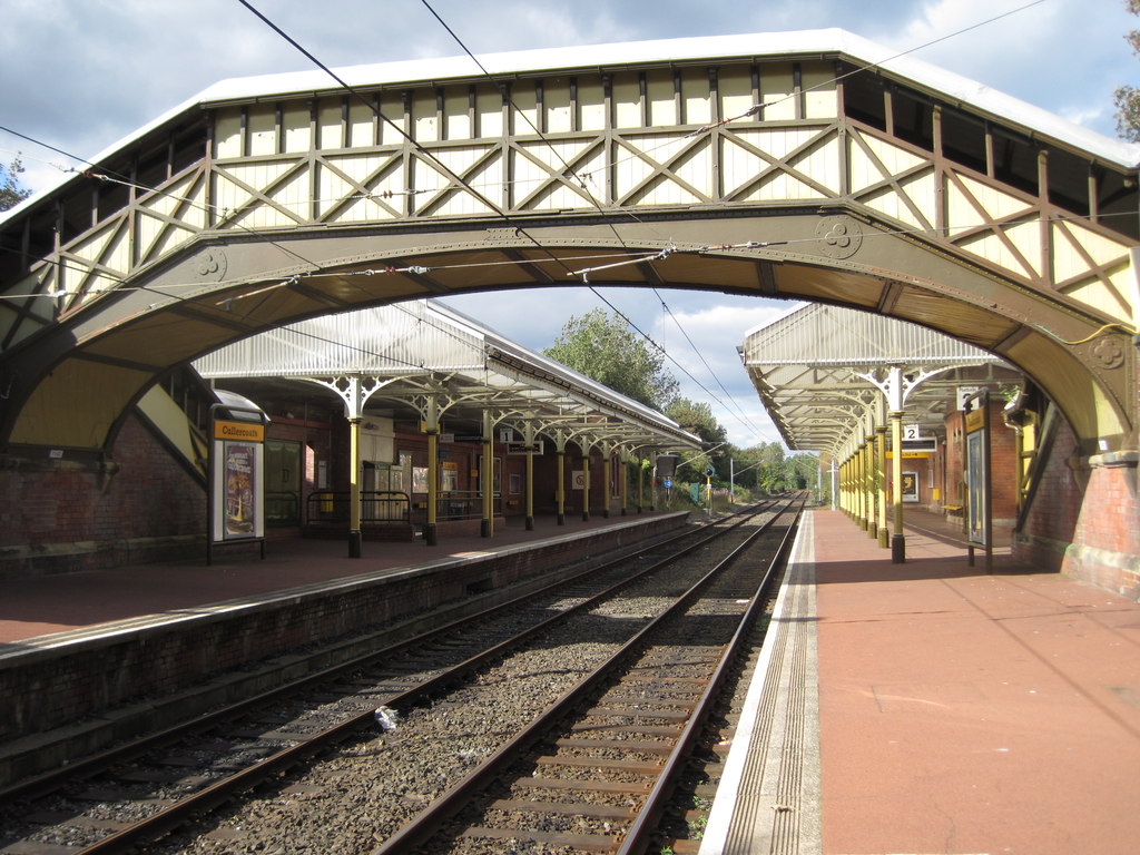
Cullercoats Metro station
Cullercoats is a Tyne and Wear Metro station, serving the suburbs of Cullercoats and Marden, North Tyneside in Tyne and Wear, England. It joined the network...

Tynemouth (UK Parliament constituency)
Tynemouth is a constituency in Tyne and Wear represented in the House of Commons of the UK Parliament since 1997 by Sir Alan Campbell, a member of the...

Marden High School
Marden High School is a coeducational secondary school located in Cullercoats, Tyne and Wear, England. The Marden City Learning Centre, opened 15 July...

Whitley Bay Metro station
Whitley Bay is a Tyne and Wear Metro station, serving the coastal town of Whitley Bay, North Tyneside in Tyne and Wear, England. It joined the network...
Marden, Tyne and Wear
Marden is an urban area between the towns of North Shields and Cullercoats in Tyne & Wear. It consists of a housing estate built in the 20th century. St...
Nearby Amenities
Located within 500m of 55.03374,-1.4291929Have you been to Beacon Rock?
Leave your review of Beacon Rock below (or comments, questions and feedback).