Butter Geo
Coastal Feature, Headland, Point in Shetland
Scotland
Butter Geo

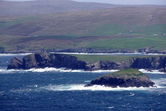
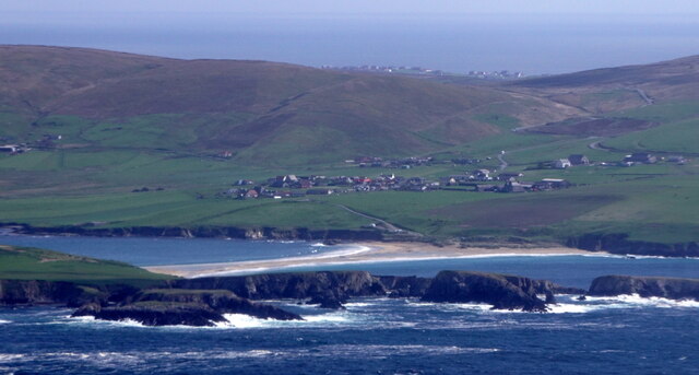
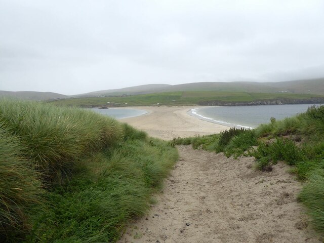
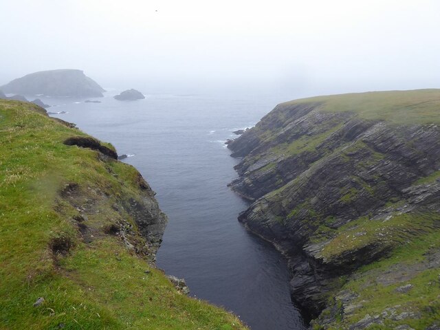
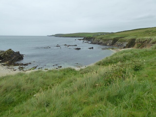
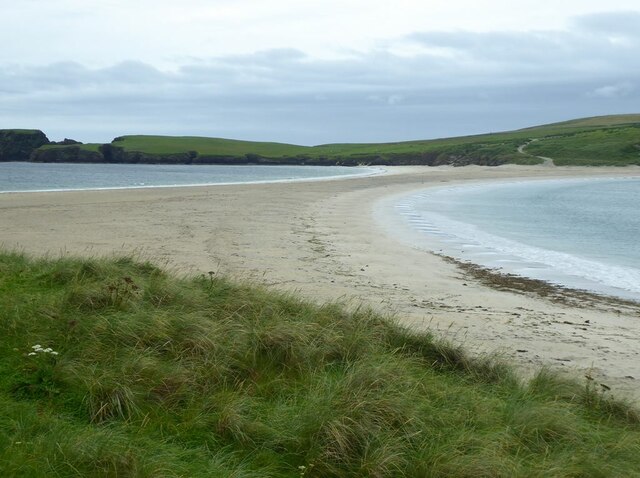
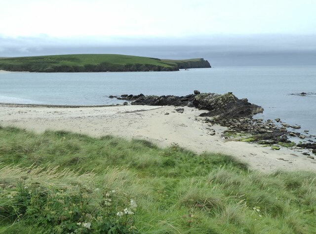
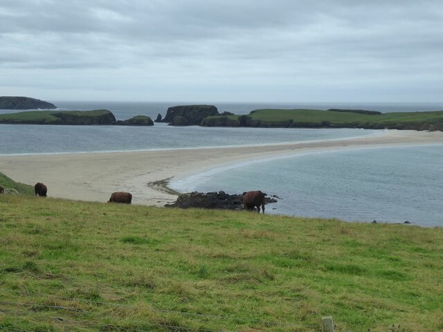
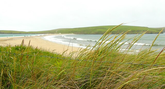
Butter Geo is a prominent coastal feature located in Shetland, an archipelago in Scotland. It is specifically classified as a headland or a point, as it juts out into the sea, forming a distinct and recognizable landform. Situated on the western coast of Shetland, Butter Geo is known for its rugged beauty and dramatic cliffs that overlook the North Atlantic.
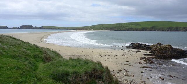
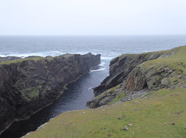
The headland stretches for approximately 500 meters and is composed of ancient rocks, including sandstone and granite, which have been shaped by centuries of coastal erosion. The unique geological formations provide a diverse habitat for a variety of marine and bird species, making it a popular destination for nature enthusiasts and birdwatchers.
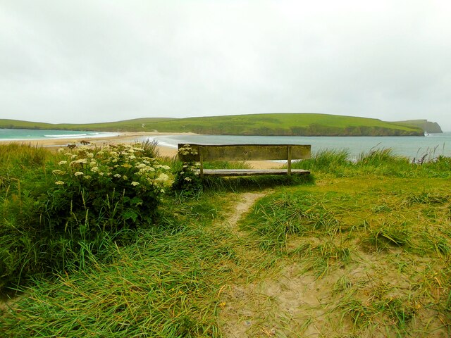
At Butter Geo, visitors can witness the powerful forces of nature, as waves crash against the cliffs and sea spray fills the air. The headland's exposed location also allows for stunning panoramic views of the surrounding coastline and the open ocean, providing a picturesque backdrop for photographers and artists.
Access to Butter Geo is possible through coastal paths, which wind through heather-covered moorland and offer glimpses of the diverse flora and fauna that thrive in this region. However, caution is advised as the terrain can be rugged and uneven in places.
As a prominent coastal feature, Butter Geo is not only a natural landmark but also holds historical and cultural significance. It has been a source of inspiration for local artists and writers, and its name itself reflects the connection between the land and its people, as "Geo" is a term used in Shetland to refer to a narrow, sea-filled inlet.
In conclusion, Butter Geo is a captivating headland or point that showcases the raw beauty of Shetland's coastline. Its geological features, diverse wildlife, and breathtaking views make it a must-visit destination for those seeking an authentic coastal experience.
If you have any feedback on the listing, please let us know in the comments section below.
Butter Geo Images
Images are sourced within 2km of 59.967784/-1.3464104 or Grid Reference HU3620. Thanks to Geograph Open Source API. All images are credited.


Butter Geo is located at Grid Ref: HU3620 (Lat: 59.967784, Lng: -1.3464104)
Unitary Authority: Shetland Islands
Police Authority: Highlands and Islands
What 3 Words
///students.microfilm.blushes. Near Sandwick, Shetland Islands
Nearby Locations
Related Wikis

St Ninian's Isle
St Ninian's Isle is a small tied island connected by the largest tombolo in the UK to the south-western coast of the Mainland, Shetland, in Scotland. It...

Bigton
Bigton is a small settlement on South Mainland, Shetland, UK. Bigton is within the civil parish of Dunrossness.Bigton lies on the Atlantic coast of the...

Colsay
Colsay is an uninhabited island off the South West coast of Mainland, Shetland. Fora Ness lies to the south, across the Muckle Sound. The highest elevation...

Scousburgh
Scousburgh is a small community in the parish of Dunrossness, in the South Mainland of Shetland, Scotland, overlooking the picturesque Scousburgh Sand...

Lochs of Spiggie and Brow
The Lochs of Spiggie and Brow are located west of Boddam in the parish of Dunrossness, in the South Mainland of Shetland, Scotland, about 6 km north of...

Dunrossness
Dunrossness, (Old Norse: Dynrastarnes meaning "headland of the loud tide-race", referring to the noise of Sumburgh Roost) is the southernmost parish of...

Levenwick
Levenwick is a small village about 17 miles (27 km) south of Lerwick, on the east side of the South Mainland of Shetland, Scotland. It is part of the parish...

Clumlie Broch
Clumlie Broch is an Iron Age broch located on Mainland, Shetland, in Scotland (grid reference HU40451811). == Location == Clumlie Broch is located in Dunrossness...
Nearby Amenities
Located within 500m of 59.967784,-1.3464104Have you been to Butter Geo?
Leave your review of Butter Geo below (or comments, questions and feedback).