Peerie Herbi Clett
Island in Shetland
Scotland
Peerie Herbi Clett

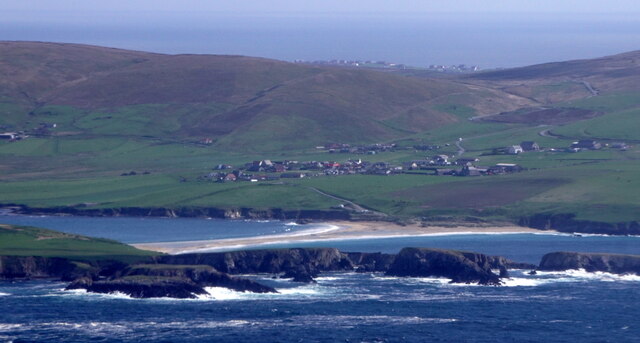
Peerie Herbi Clett is a small, remote island located off the coast of Shetland, Scotland. It is situated in the North Sea, approximately 12 miles northeast of the Shetland Mainland. The island is part of the larger Herbi Clett archipelago, which includes several other uninhabited islets.
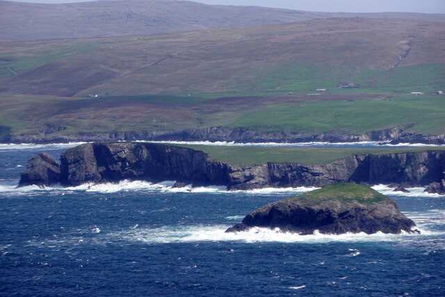
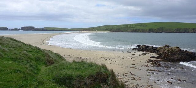
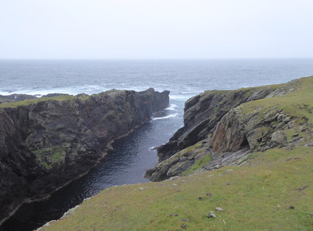
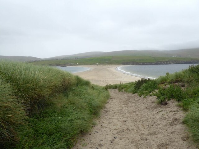
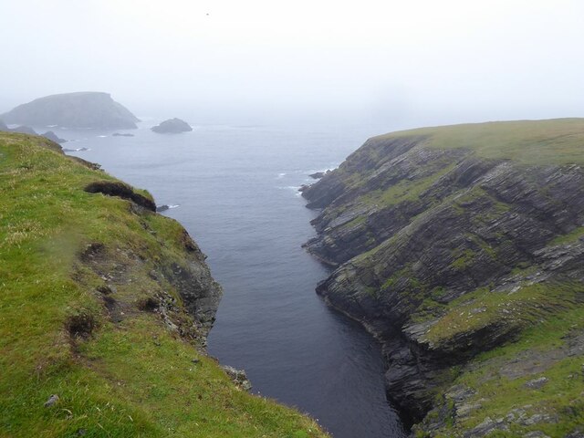
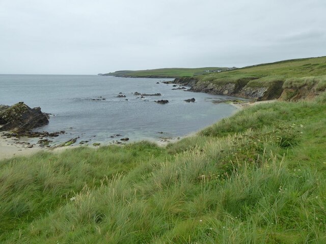
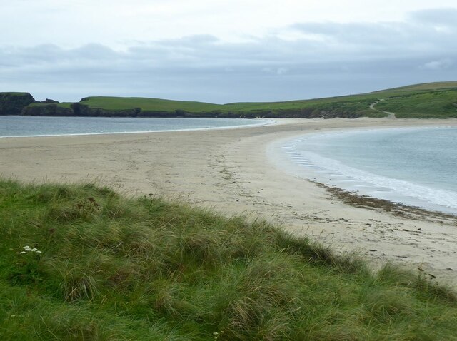
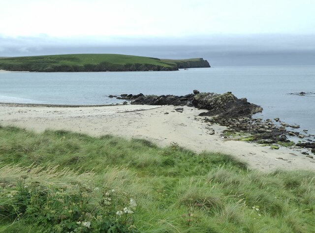
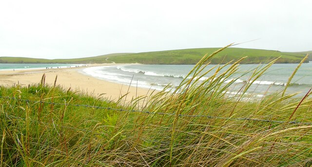
With an area of just 0.04 square kilometers, Peerie Herbi Clett is a tiny landmass characterized by rugged cliffs and rocky shores. Its terrain is predominantly made up of grassy slopes, scattered with hardy vegetation that can withstand the harsh coastal conditions. The island is home to a variety of seabirds, including puffins, guillemots, and kittiwakes, which nest in the cliff faces during the breeding season.
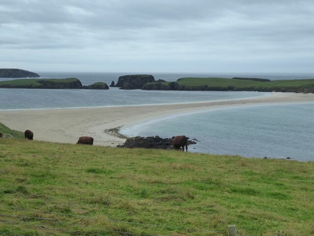
Due to its isolated location, Peerie Herbi Clett has never been permanently inhabited. However, it has historical significance as it was used as a summer grazing ground for livestock by local farmers in the past. Evidence of these activities can still be seen in the form of old ruins and dry-stone dykes that crisscross the island.
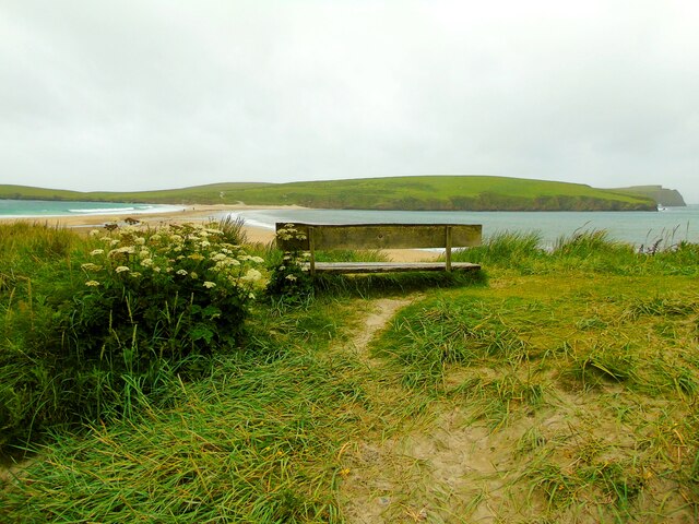
Peerie Herbi Clett attracts occasional visitors, mainly for birdwatching and nature exploration. Access to the island is challenging, as it requires a boat or kayak journey from the Shetland Mainland. The lack of facilities and accommodation means that visitors must be self-sufficient and well-prepared for their trip.
For those seeking solitude and a chance to immerse themselves in the untouched beauty of the Shetland Islands, Peerie Herbi Clett offers a unique and remote experience. Its unspoiled landscapes and abundant wildlife make it a haven for nature enthusiasts and bird lovers alike.
If you have any feedback on the listing, please let us know in the comments section below.
Peerie Herbi Clett Images
Images are sourced within 2km of 59.966528/-1.3466501 or Grid Reference HU3620. Thanks to Geograph Open Source API. All images are credited.


Peerie Herbi Clett is located at Grid Ref: HU3620 (Lat: 59.966528, Lng: -1.3466501)
Unitary Authority: Shetland Islands
Police Authority: Highlands and Islands
What 3 Words
///skill.fidgeting.populate. Near Sandwick, Shetland Islands
Nearby Locations
Related Wikis

St Ninian's Isle
St Ninian's Isle is a small tied island connected by the largest tombolo in the UK to the south-western coast of the Mainland, Shetland, in Scotland. It...

Bigton
Bigton is a small settlement on South Mainland, Shetland, UK. Bigton is within the civil parish of Dunrossness.Bigton lies on the Atlantic coast of the...

Colsay
Colsay is an uninhabited island off the South West coast of Mainland, Shetland. Fora Ness lies to the south, across the Muckle Sound. The highest elevation...

Scousburgh
Scousburgh is a small community in the parish of Dunrossness, in the South Mainland of Shetland, Scotland, overlooking the picturesque Scousburgh Sand...

Lochs of Spiggie and Brow
The Lochs of Spiggie and Brow are located west of Boddam in the parish of Dunrossness, in the South Mainland of Shetland, Scotland, about 6 km north of...

Dunrossness
Dunrossness, (Old Norse: Dynrastarnes meaning "headland of the loud tide-race", referring to the noise of Sumburgh Roost) is the southernmost parish of...

Levenwick
Levenwick is a small village about 17 miles (27 km) south of Lerwick, on the east side of the South Mainland of Shetland, Scotland. It is part of the parish...

Clumlie Broch
Clumlie Broch is an Iron Age broch located on Mainland, Shetland, in Scotland (grid reference HU40451811). == Location == Clumlie Broch is located in Dunrossness...
Nearby Amenities
Located within 500m of 59.966528,-1.3466501Have you been to Peerie Herbi Clett?
Leave your review of Peerie Herbi Clett below (or comments, questions and feedback).