High Herbi Clett
Island in Shetland
Scotland
High Herbi Clett

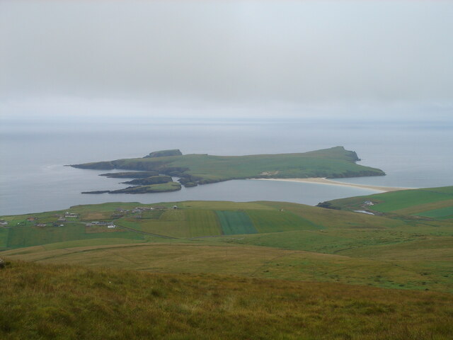
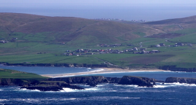
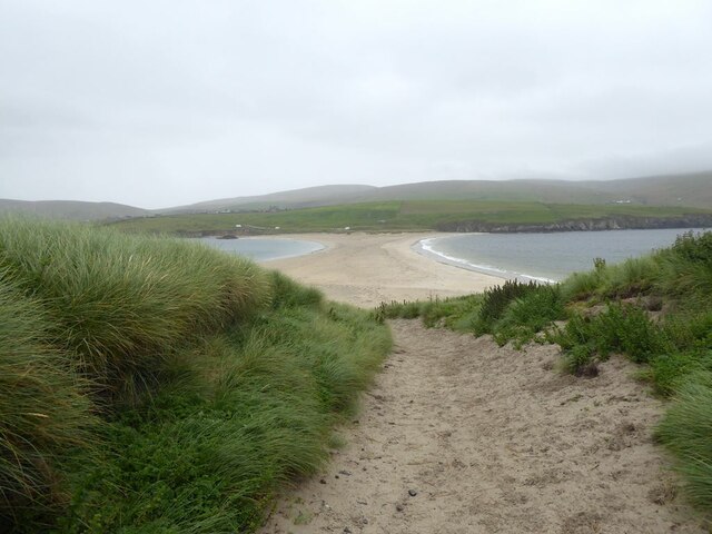
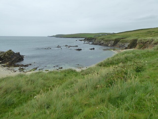
High Herbi Clett is a small, uninhabited island located off the coast of Shetland, Scotland. Situated in the North Sea, it is part of the Shetland Islands archipelago and is known for its rugged beauty and diverse wildlife.
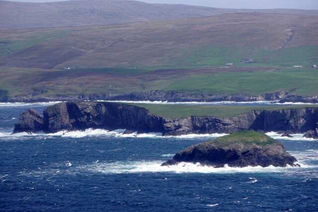
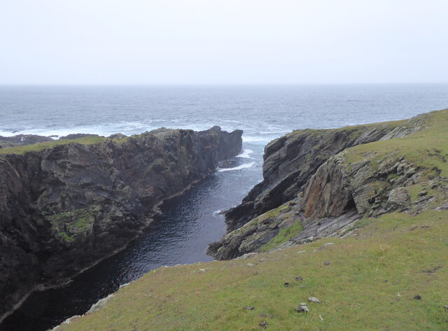
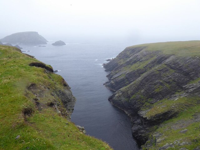
High Herbi Clett covers an area of around 3 hectares and is characterized by its steep cliffs, which rise up to 100 meters above sea level. The island's cliffs are composed of layers of sandstone and shale, giving them a striking appearance. These cliffs provide nesting sites for a variety of seabirds, including guillemots, razorbills, and kittiwakes.
The island is also home to a number of other bird species, such as puffins and fulmars, which can be spotted throughout the year. Additionally, High Herbi Clett is a popular feeding ground for seals and has been designated as a Special Protection Area to conserve its wildlife.
Access to High Herbi Clett is limited due to its remote location. Visitors can only reach the island by boat, and landing is often challenging due to the strong currents and rough sea conditions. However, those who manage to visit are rewarded with breathtaking views and the opportunity to observe a diverse range of bird species in their natural habitat.
High Herbi Clett is a haven for nature enthusiasts and offers a unique glimpse into the untouched beauty of the Shetland Islands. Its dramatic cliffs, abundant birdlife, and tranquil surroundings make it a must-visit destination for those seeking an immersive wildlife experience.
If you have any feedback on the listing, please let us know in the comments section below.
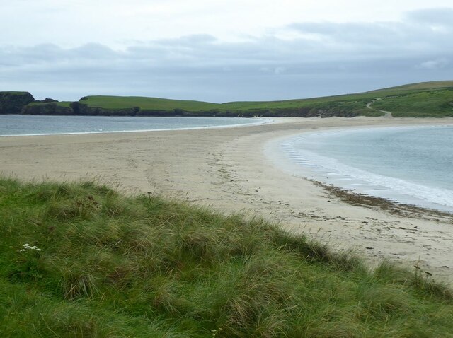
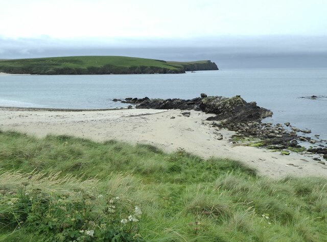
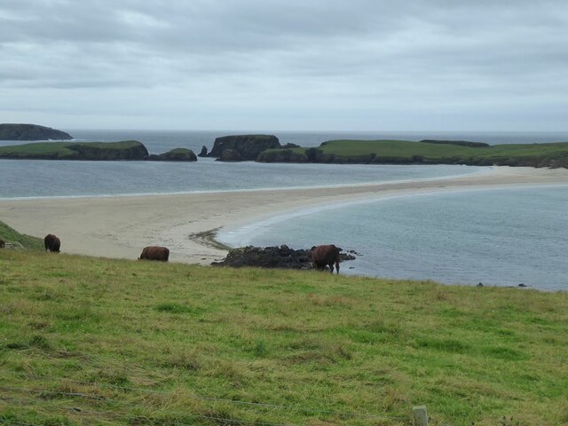
High Herbi Clett Images
Images are sourced within 2km of 59.965829/-1.3451773 or Grid Reference HU3620. Thanks to Geograph Open Source API. All images are credited.


High Herbi Clett is located at Grid Ref: HU3620 (Lat: 59.965829, Lng: -1.3451773)
Unitary Authority: Shetland Islands
Police Authority: Highlands and Islands
What 3 Words
///bluff.shuts.payout. Near Sandwick, Shetland Islands
Nearby Locations
Related Wikis

St Ninian's Isle
St Ninian's Isle is a small tied island connected by the largest tombolo in the UK to the south-western coast of the Mainland, Shetland, in Scotland. It...

Bigton
Bigton is a small settlement on South Mainland, Shetland, UK. Bigton is within the civil parish of Dunrossness.Bigton lies on the Atlantic coast of the...

Colsay
Colsay is an uninhabited island off the South West coast of Mainland, Shetland. Fora Ness lies to the south, across the Muckle Sound. The highest elevation...

Scousburgh
Scousburgh is a small community in the parish of Dunrossness, in the South Mainland of Shetland, Scotland, overlooking the picturesque Scousburgh Sand...

Lochs of Spiggie and Brow
The Lochs of Spiggie and Brow are located west of Boddam in the parish of Dunrossness, in the South Mainland of Shetland, Scotland, about 6 km north of...

Dunrossness
Dunrossness, (Old Norse: Dynrastarnes meaning "headland of the loud tide-race", referring to the noise of Sumburgh Roost) is the southernmost parish of...

Clumlie Broch
Clumlie Broch is an Iron Age broch located on Mainland, Shetland, in Scotland (grid reference HU40451811). == Location == Clumlie Broch is located in Dunrossness...

Levenwick
Levenwick is a small village about 17 miles (27 km) south of Lerwick, on the east side of the South Mainland of Shetland, Scotland. It is part of the parish...
Have you been to High Herbi Clett?
Leave your review of High Herbi Clett below (or comments, questions and feedback).