Banni Geo
Coastal Feature, Headland, Point in Shetland
Scotland
Banni Geo
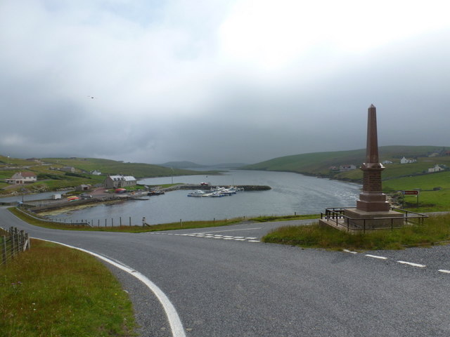
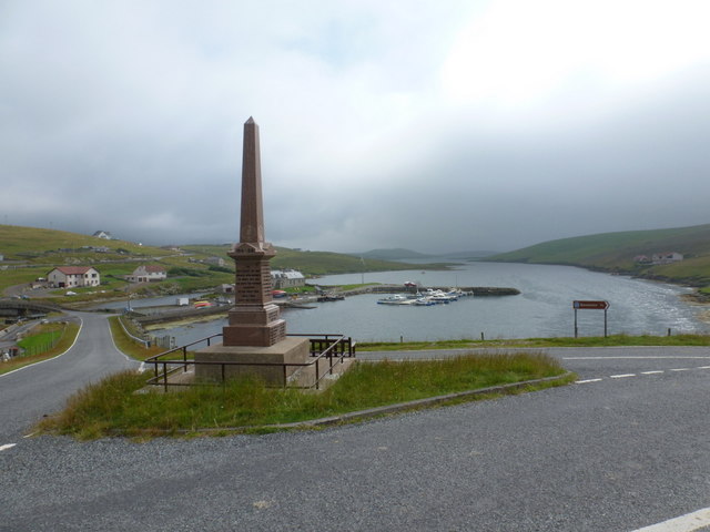
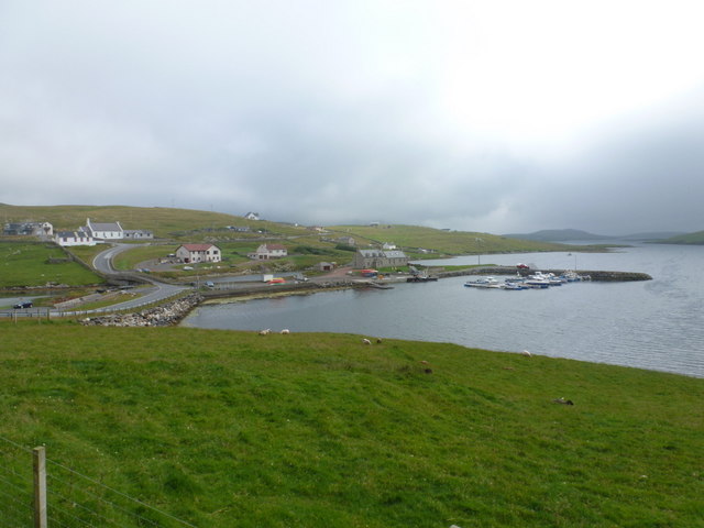
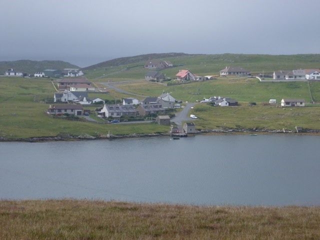
Banni Geo is a coastal feature located in the Shetland Islands, Scotland. It is a headland that juts out into the North Sea, forming a distinct point along the coastline. The word "geo" is derived from the Old Norse term "gjá," meaning a narrow inlet or cleft, which accurately describes the geological formation of Banni Geo.
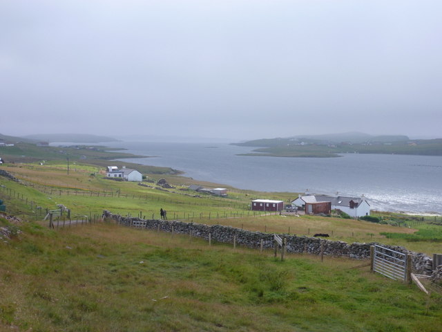
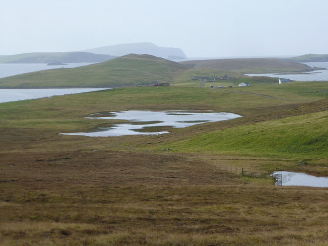
This headland is characterized by its rugged and rocky cliffs, which rise steeply from the sea. The cliffs are composed of layers of sedimentary rock, showcasing the geological history of the area. Over time, the relentless action of the waves has carved out a small, sheltered inlet within the headland, creating a natural harbor. This harbor provides a safe haven for boats and is often frequented by local fishermen.
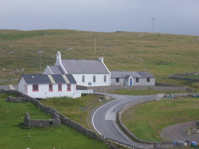
The surrounding landscape of Banni Geo is rich in biodiversity. The headland is covered in grasses and heather, with patches of wildflowers adding bursts of color during the summer months. Seabirds, including puffins, fulmars, and guillemots, can be spotted nesting along the cliffs, making it an ideal location for birdwatching enthusiasts.
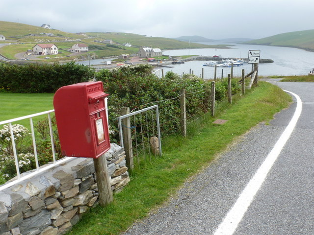
Access to Banni Geo is relatively easy, with a footpath leading visitors down to the shoreline. The headland also offers breathtaking views of the surrounding coastline, with panoramic vistas of the North Sea and nearby islands. It is a popular spot for nature lovers and photographers alike.
Overall, Banni Geo is a remarkable coastal feature that showcases the stunning natural beauty and geological diversity of the Shetland Islands.
If you have any feedback on the listing, please let us know in the comments section below.
Banni Geo Images
Images are sourced within 2km of 60.084724/-1.3452125 or Grid Reference HU3633. Thanks to Geograph Open Source API. All images are credited.


Banni Geo is located at Grid Ref: HU3633 (Lat: 60.084724, Lng: -1.3452125)
Unitary Authority: Shetland Islands
Police Authority: Highlands and Islands
What 3 Words
///classmate.composes.blacken. Near Scalloway, Shetland Islands
Nearby Locations
Related Wikis

Scalloway Islands
The Scalloway Islands are in Shetland opposite Scalloway on south west of the Mainland. They form a mini-archipelago and include: Burra (two islands linked...

West Burra
West Burra is one of the Scalloway Islands, a subgroup of the Shetland Islands in Scotland. It is connected by bridge to East Burra. With an area of 743...

Burra, Shetland
Burra (Old Norse: Barrey ) is the collective name for two of the Shetland Islands, West (pop. 753) and East Burra (pop. 66), which are connected by bridge...
East Burra
East Burra (Scots: East Burra; Old Norse: "Barrey") is one of the Scalloway Islands, a subgroup of the Shetland Islands in Scotland. It is connected by...

Oxna
Oxna is one of the Scalloway Islands, lying north west of Burra in Shetland, Scotland. Oxna has an area of 68 hectares (170 acres). The island has been...

Papa, Shetland
Papa (Scots: Papa; Old Norse: Papey, meaning "the island of the priests") is an uninhabited island in the Scalloway Islands, Shetland, Scotland. Papa lies...
West Head of Papa
West Head of Papa is a small tidal island off Papa in Shetland, and is one of the Scalloway Islands. It is 21m at its highest point. East Head of Papa...
Green Holm
Green Holm, (HU382379), is a small uninhabited island 500 metres north of Burra Ness at the north end of the island of Burra and on the west side of the...
Have you been to Banni Geo?
Leave your review of Banni Geo below (or comments, questions and feedback).