Inner Skerry

Island in Shetland

Scotland

Inner Skerry

West Burra: overlooking Bridge End A fine view past the war memorial and down South Voe, the marina nestling below.
West Burra: overlooking Bridge End Credit: Chris Downer

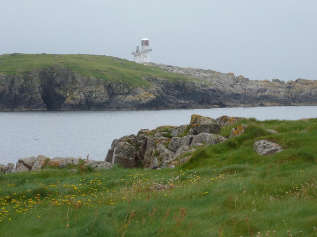
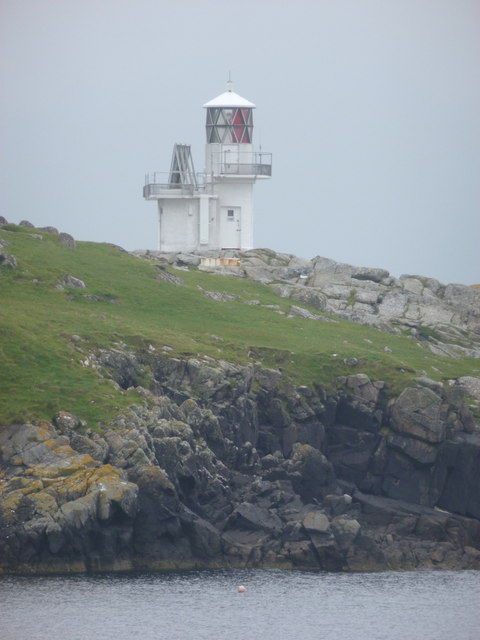
Inner Skerry is a small uninhabited island located in the Shetland archipelago, off the northern coast of Scotland. Situated approximately 2.5 miles northeast of the larger island of Papa Stour, Inner Skerry spans an area of about 0.25 square miles (0.65 square kilometers). The island is characterized by rugged cliffs, with its highest point standing at roughly 213 feet (65 meters) above sea level.

The geology of Inner Skerry showcases prominent basalt columns, formed by the solidification of ancient lava flows. These unique rock formations, coupled with the island's remote and untouched nature, make it an attractive destination for geologists, nature enthusiasts, and birdwatchers. The surrounding waters are rich in marine life, and seals and seabirds can often be spotted along the shores of Inner Skerry.

Due to its isolated location and lack of amenities, Inner Skerry does not support any permanent human population. However, the island has historical significance, with traces of prehistoric settlements and ancient burial sites still visible. Today, Inner Skerry is mainly used for grazing livestock, but its primary appeal lies in its natural beauty and tranquility.

Access to Inner Skerry is challenging, as there are no regular ferry or boat services available. The island is privately owned and can only be visited with the owner's permission. Visitors must be prepared for a rugged and remote experience, bringing their own supplies and adhering to strict conservation guidelines to preserve the island's pristine environment.

If you have any feedback on the listing, please let us know in the comments section below.
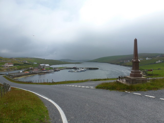
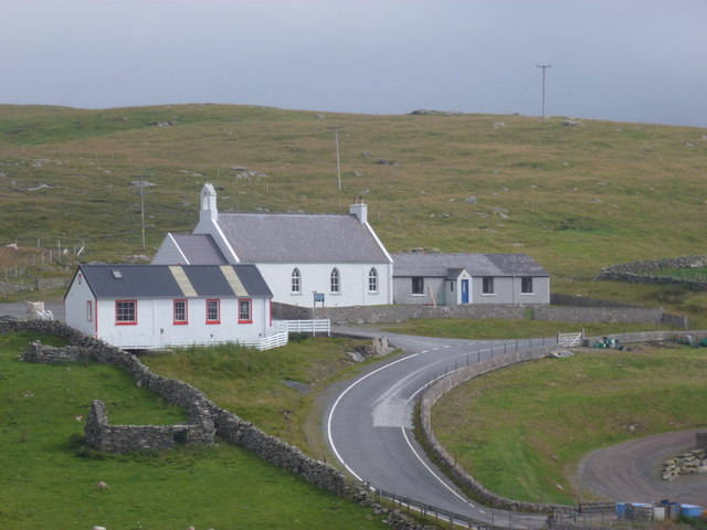
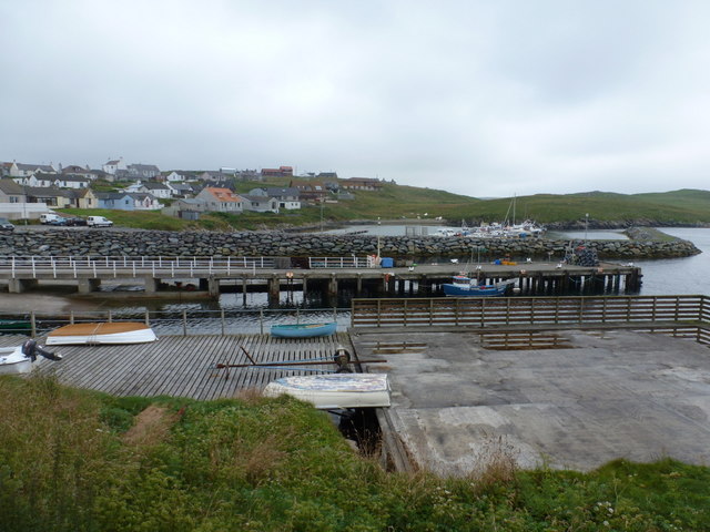
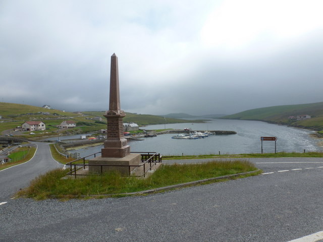
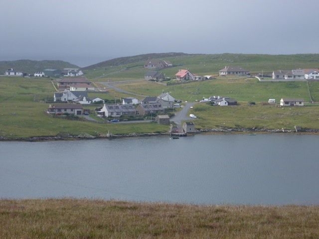
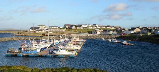
Inner Skerry Images

Images are sourced within 2km of 60.088941/-1.3517803 or Grid Reference HU3633. Thanks to Geograph Open Source API. All images are credited.

West Burra: overlooking Bridge End A fine view past the war memorial and down South Voe, the marina nestling below.
West Burra: overlooking Bridge End
A fine view past the war memorial and down South Voe, the marina nestling below.
East Burra: the Baptist church Looking across the dip between the two Burras towards this small church on East Burra.
East Burra: the Baptist church
Looking across the dip between the two Burras towards this small church on East Burra.
East Burra: view along Lang Sound Looking north along the channel separating East Burra from West. In the distance is the bridge linking the Burras with Trondra en route to the mainland.
East Burra: view along Lang Sound
Looking north along the channel separating East Burra from West. In the distance is the bridge linking the Burras with Trondra en route to the mainland.
Hamnavoe: across the harbour Looking across the head of Hamna Voe, which forms the little harbour, with the marina in the background.
Hamnavoe: across the harbour
Looking across the head of Hamna Voe, which forms the little harbour, with the marina in the background.
Hamnavoe: view across Hamna Voe to Fugla Ness Looking across the entrance to the voe, with the light of Fugla Ness across the water.
Hamnavoe: view across Hamna Voe to Fugla Ness
Looking across the entrance to the voe, with the light of Fugla Ness across the water.
Hamnavoe: Fugla Ness light A navigational aid for vessels entering Hamna Voe, the sea inlet in the foreground.
Hamnavoe: Fugla Ness light
A navigational aid for vessels entering Hamna Voe, the sea inlet in the foreground.
West Burra: war memorial The war memorial at Bridge End stands at a fantastic viewpoint as we look beyond it down South Voe, separating East Burra (left) from West Burra.
West Burra: war memorial
The war memorial at Bridge End stands at a fantastic viewpoint as we look beyond it down South Voe, separating East Burra (left) from West Burra.
West Burra: postbox № ZE2 14, Bridge End This small postbox serves the southern villages of West Burra, as well as East Burra, and is emptied each weekday and Saturday morning at half past seven.
West Burra: postbox № ZE2 14, Bridge End
This small postbox serves the southern villages of West Burra, as well as East Burra, and is emptied each weekday and Saturday morning at half past seven.
West Burra: the marina Looking down on the marina, which is at the head of South Voe which separates the island of West Burra from East Burra (background).
West Burra: the marina
Looking down on the marina, which is at the head of South Voe which separates the island of West Burra from East Burra (background).
West Burra: Toogs from across Lang Sound Looking across Lang Sound from the island of East Burra, towards the hamlet of Toogs on West Burra.
West Burra: Toogs from across Lang Sound
Looking across Lang Sound from the island of East Burra, towards the hamlet of Toogs on West Burra.
East Burra: New Grunasound and Lang Sound The house at New Grunasound, extreme left, stands by the edge of Lang Sound, which separates the islands of East and West Burra.
East Burra: New Grunasound and Lang Sound
The house at New Grunasound, extreme left, stands by the edge of Lang Sound, which separates the islands of East and West Burra.
West Burra: postbox № ZE2 8, Southerhouse A small postbox serving the Southerhouse hamlet, emptied on weekdays and Saturdays at 7:30am. The backdrop is the Clift Hills, on the western edge of the Shetland mainland, rising into the mist.
West Burra: postbox № ZE2 8, Southerhouse
A small postbox serving the Southerhouse hamlet, emptied on weekdays and Saturdays at 7:30am. The backdrop is the Clift Hills, on the western edge of the Shetland mainland, rising into the mist.
Hamnavoe: Sands of Meal Looking across this short sandy beach in a bay to the south of Hamnavoe.
Hamnavoe: Sands of Meal
Looking across this short sandy beach in a bay to the south of Hamnavoe.
Bridge End South Voe in the foreground, Lang Sound beyond.
Bridge End
South Voe in the foreground, Lang Sound beyond.
Hamnavoe marina One or two inshore fishing boats, but mainly pleasure craft.
Hamnavoe marina
One or two inshore fishing boats, but mainly pleasure craft.
Brough Hill Bagged with Tricky Speirs.
Name: Brough Hill
Hill number: 104033
Height: 61m / 200ft
Area:22: Shetland Islands
Class: 0
Grid ref: HU377351 (est)
Drop: 49m
Col: 12m
Brough Hill
Bagged with Tricky Speirs. Name: Brough Hill Hill number: 104033 Height: 61m / 200ft Area:22: Shetland Islands Class: 0 Grid ref: HU377351 (est) Drop: 49m Col: 12m
Bridgend Baptist Church, East Burra
Hill of Sandwick Bagged with Tricky Speirs.
Name: Hill of Sandwick
Hill number: 104013
Height: 65m / 213ft
Area:22: Shetland Islands
Class: 0
Grid ref: HU361327 (est)
Drop: 65m
Hill of Sandwick
Bagged with Tricky Speirs. Name: Hill of Sandwick Hill number: 104013 Height: 65m / 213ft Area:22: Shetland Islands Class: 0 Grid ref: HU361327 (est) Drop: 65m
Show me another place!

Inner Skerry is located at Grid Ref: HU3633 (Lat: 60.088941, Lng: -1.3517803)

Unitary Authority: Shetland Islands

Police Authority: Highlands and Islands

What 3 Words

///scrolled.cookbooks.handy. Near Scalloway, Shetland Islands

Related Wikis

Scalloway Islands

The Scalloway Islands are in Shetland opposite Scalloway on south west of the Mainland. They form a mini-archipelago and include: Burra (two islands linked...

West Burra

West Burra is one of the Scalloway Islands, a subgroup of the Shetland Islands in Scotland. It is connected by bridge to East Burra. With an area of 743...

Burra, Shetland

Burra (Old Norse: Barrey ) is the collective name for two of the Shetland Islands, West (pop. 753) and East Burra (pop. 66), which are connected by bridge...

East Burra

East Burra (Old Norse: Barrey) is one of the Scalloway Islands, a subgroup of the Shetland Islands in Scotland. It is connected by a bridge to West Burra...

Have you been to Inner Skerry?

Leave your review of Inner Skerry below (or comments, questions and feedback).