Skeo Taing

Coastal Feature, Headland, Point in Shetland

Scotland

Skeo Taing

West Burra: overlooking Bridge End A fine view past the war memorial and down South Voe, the marina nestling below.
West Burra: overlooking Bridge End Credit: Chris Downer

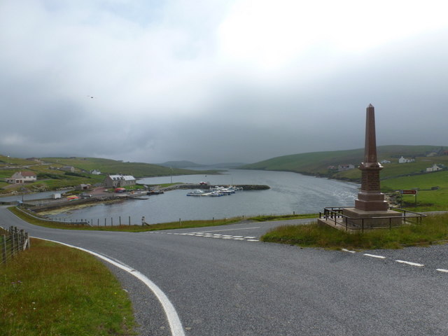
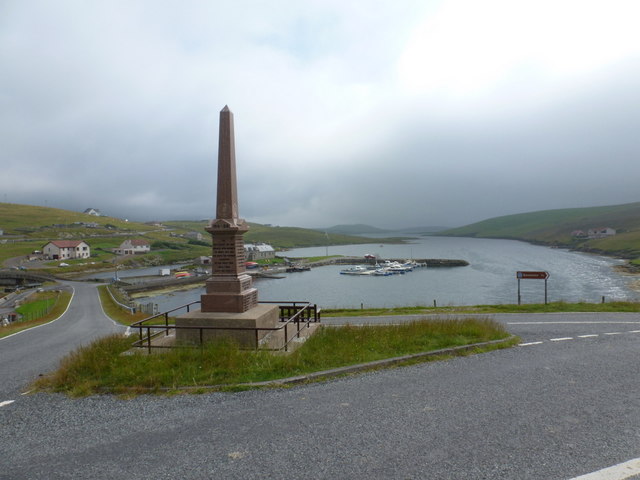
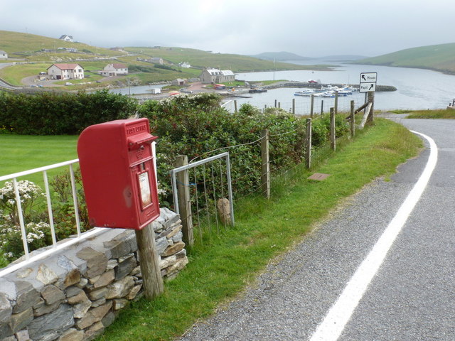
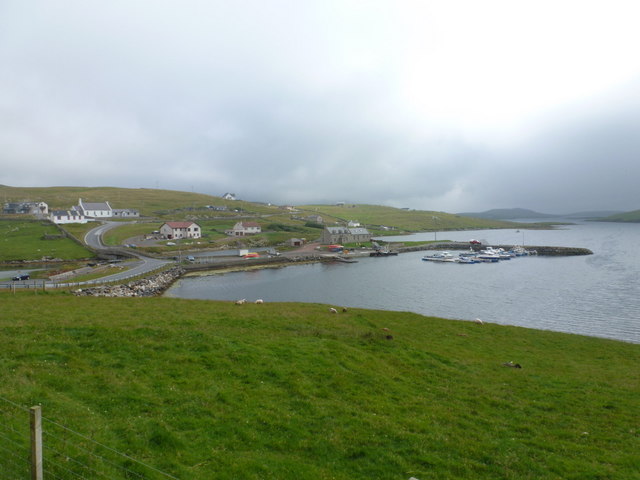
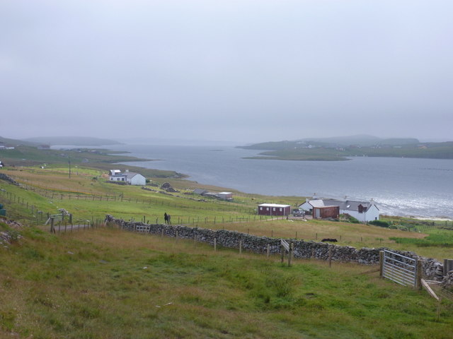
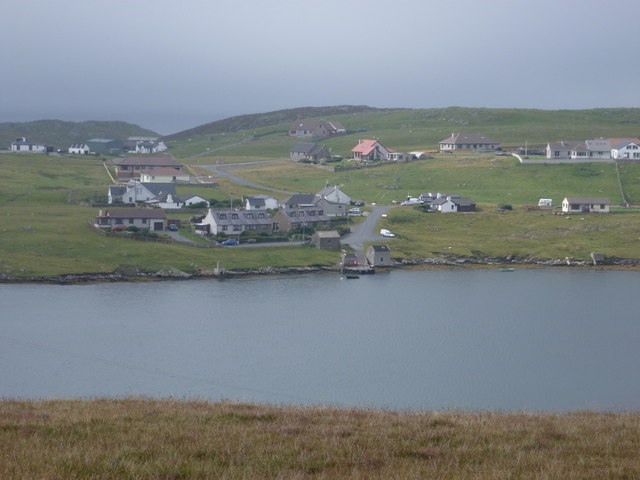
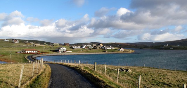
Skeo Taing is a prominent coastal feature located in the Shetland Islands, an archipelago in Scotland. It is a picturesque headland that juts out into the North Sea, forming a distinctive point along the rugged coastline.

The name "Skeo Taing" originates from the Old Norse language, which was historically spoken in the region. It translates to "rocky point," accurately describing the nature of this coastal feature. The headland is known for its rocky cliffs and exposed outcrops, which are composed of ancient sedimentary rocks. These rocks have been shaped by the relentless forces of erosion over thousands of years, resulting in dramatic formations and steep slopes.

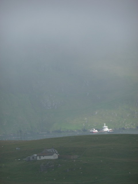
Skeo Taing offers breathtaking views of the surrounding sea, with the crashing waves and seabirds soaring overhead. The headland is a popular spot for birdwatching, as it provides a habitat for various species, including puffins, guillemots, and fulmars. Visitors may also catch glimpses of seals and other marine wildlife in the waters surrounding the point.

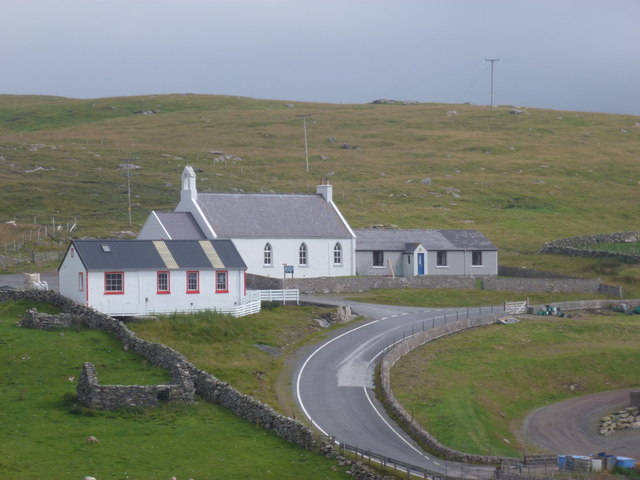
Access to Skeo Taing is relatively easy, with a well-maintained path leading to the headland. The area is frequently visited by hikers and nature enthusiasts who appreciate the area's natural beauty and tranquility. It is advised to wear appropriate footwear and exercise caution while exploring the headland, as some parts can be steep and slippery.

Overall, Skeo Taing is a captivating coastal feature in the Shetland Islands, offering visitors a chance to immerse themselves in the stunning natural landscapes and observe the diverse wildlife that thrives in this remote corner of Scotland.

If you have any feedback on the listing, please let us know in the comments section below.

Skeo Taing Images

Images are sourced within 2km of 60.081289/-1.3460354 or Grid Reference HU3633. Thanks to Geograph Open Source API. All images are credited.

West Burra: overlooking Bridge End A fine view past the war memorial and down South Voe, the marina nestling below.
West Burra: overlooking Bridge End
A fine view past the war memorial and down South Voe, the marina nestling below.
East Burra: the Baptist church Looking across the dip between the two Burras towards this small church on East Burra.
East Burra: the Baptist church
Looking across the dip between the two Burras towards this small church on East Burra.
East Burra: view along Lang Sound Looking north along the channel separating East Burra from West. In the distance is the bridge linking the Burras with Trondra en route to the mainland.
East Burra: view along Lang Sound
Looking north along the channel separating East Burra from West. In the distance is the bridge linking the Burras with Trondra en route to the mainland.
Houss: a house with a dramatic backdrop Looking across to a Houss house, as it were, from West Burra. I haven't been able to exactly locate the house on the map but it's somewhere hereabouts. In the background, a couple of vessels, below the cliffs of the Clift Hills, are catching a very rare bit of sun today - the rarity of the fine weather hinted at by the low mist towards the top of the hills.
Houss: a house with a dramatic backdrop
Looking across to a Houss house, as it were, from West Burra. I haven't been able to exactly locate the house on the map but it's somewhere hereabouts. In the background, a couple of vessels, below the cliffs of the Clift Hills, are catching a very rare bit of sun today - the rarity of the fine weather hinted at by the low mist towards the top of the hills.
West Burra: war memorial The war memorial at Bridge End stands at a fantastic viewpoint as we look beyond it down South Voe, separating East Burra (left) from West Burra.
West Burra: war memorial
The war memorial at Bridge End stands at a fantastic viewpoint as we look beyond it down South Voe, separating East Burra (left) from West Burra.
West Burra: postbox № ZE2 14, Bridge End This small postbox serves the southern villages of West Burra, as well as East Burra, and is emptied each weekday and Saturday morning at half past seven.
West Burra: postbox № ZE2 14, Bridge End
This small postbox serves the southern villages of West Burra, as well as East Burra, and is emptied each weekday and Saturday morning at half past seven.
West Burra: the marina Looking down on the marina, which is at the head of South Voe which separates the island of West Burra from East Burra (background).
West Burra: the marina
Looking down on the marina, which is at the head of South Voe which separates the island of West Burra from East Burra (background).
East Burra: view down South Voe Looking down South Voe, the long inlet separating the islands of East Burra and West Burra.
East Burra: view down South Voe
Looking down South Voe, the long inlet separating the islands of East Burra and West Burra.
West Burra: Toogs from across Lang Sound Looking across Lang Sound from the island of East Burra, towards the hamlet of Toogs on West Burra.
West Burra: Toogs from across Lang Sound
Looking across Lang Sound from the island of East Burra, towards the hamlet of Toogs on West Burra.
East Burra: New Grunasound and Lang Sound The house at New Grunasound, extreme left, stands by the edge of Lang Sound, which separates the islands of East and West Burra.
East Burra: New Grunasound and Lang Sound
The house at New Grunasound, extreme left, stands by the edge of Lang Sound, which separates the islands of East and West Burra.
Papil, West Burra
Papil, West Burra
Bridge End South Voe in the foreground, Lang Sound beyond.
Bridge End
South Voe in the foreground, Lang Sound beyond.
Newton and North Ho Abandoned croft to left of picture.  Newer dispersed settlement.
Newton and North Ho
Abandoned croft to left of picture. Newer dispersed settlement.
Bridgend Baptist Church, East Burra
Virda Summit Cairn Lovely viewpoint today with Tricky Speirs.  This view takes in Banna Minn.
Name: Virda
Hill number: 104055
Height: 56m / 184ft
Area:22: Shetland Islands
Class: 0
Grid ref: HU361314 (est)
Drop: 30m
Col: 26m
Virda Summit Cairn
Lovely viewpoint today with Tricky Speirs. This view takes in Banna Minn. Name: Virda Hill number: 104055 Height: 56m / 184ft Area:22: Shetland Islands Class: 0 Grid ref: HU361314 (est) Drop: 30m Col: 26m
Hill of Sandwick Bagged with Tricky Speirs.
Name: Hill of Sandwick
Hill number: 104013
Height: 65m / 213ft
Area:22: Shetland Islands
Class: 0
Grid ref: HU361327 (est)
Drop: 65m
Hill of Sandwick
Bagged with Tricky Speirs. Name: Hill of Sandwick Hill number: 104013 Height: 65m / 213ft Area:22: Shetland Islands Class: 0 Grid ref: HU361327 (est) Drop: 65m
View Towards The Alter Remote West Burra house with solar power and a view across Sand Wick to The Alter.
View Towards The Alter
Remote West Burra house with solar power and a view across Sand Wick to The Alter.
Mid Field Bagged with Tricky Speirs.
Name: Mid Field
Hill number: 104027
Height: 62m / 203ft
Area:22: Shetland Islands
Class: 0
Grid ref: HU368325 (est)
Drop: 49m
Col: 13m
Mid Field
Bagged with Tricky Speirs. Name: Mid Field Hill number: 104027 Height: 62m / 203ft Area:22: Shetland Islands Class: 0 Grid ref: HU368325 (est) Drop: 49m Col: 13m
Show me another place!

Skeo Taing is located at Grid Ref: HU3633 (Lat: 60.081289, Lng: -1.3460354)

Unitary Authority: Shetland Islands

Police Authority: Highlands and Islands

What 3 Words

///abundance.trumpet.twitchy. Near Scalloway, Shetland Islands

Related Wikis

Scalloway Islands

The Scalloway Islands are in Shetland opposite Scalloway on south west of the Mainland. They form a mini-archipelago and include: Burra (two islands linked...

West Burra

West Burra is one of the Scalloway Islands, a subgroup of the Shetland Islands in Scotland. It is connected by bridge to East Burra. With an area of 743...

Burra, Shetland

Burra (Old Norse: Barrey ) is the collective name for two of the Shetland Islands, West (pop. 753) and East Burra (pop. 66), which are connected by bridge...

East Burra

East Burra (Scots: East Burra; Old Norse: "Barrey") is one of the Scalloway Islands, a subgroup of the Shetland Islands in Scotland. It is connected by...

Oxna

Oxna is one of the Scalloway Islands, lying north west of Burra in Shetland, Scotland. Oxna has an area of 68 hectares (170 acres). The island has been...

Papa, Shetland

Papa (Scots: Papa; Old Norse: Papey, meaning "the island of the priests") is an uninhabited island in the Scalloway Islands, Shetland, Scotland. Papa lies...

South Mainland

The South Mainland of the Shetland Islands is the southern peninsula of Mainland island. It lies south of Hellister (60° 14′N). The greater southern part...

West Head of Papa

West Head of Papa is a small tidal island off Papa in Shetland, and is one of the Scalloway Islands. It is 21m at its highest point. East Head of Papa...

Nearby Amenities

Located within 500m of 60.081289,-1.3460354
Power: pole
Lat/Long: 60.079337/-1.3390338
Power: pole
Lat/Long: 60.0791885/-1.3404046
Power: pole
Lat/Long: 60.079054/-1.3418287
Power: pole
Lat/Long: 60.0794114/-1.3428472
Power: pole
Lat/Long: 60.0798241/-1.3440432
The data included in this document is from www.openstreetmap.org. The data is made available under ODbL.

Have you been to Skeo Taing?

Leave your review of Skeo Taing below (or comments, questions and feedback).