Small Geos
Coastal Feature, Headland, Point in Shetland
Scotland
Small Geos
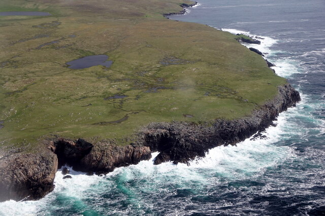
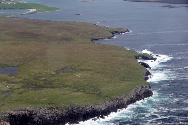
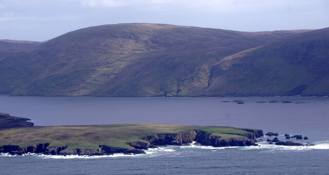
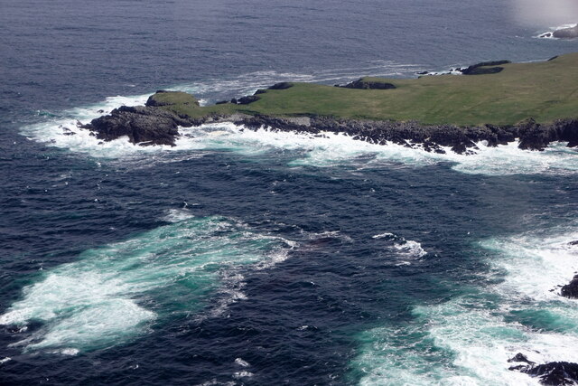
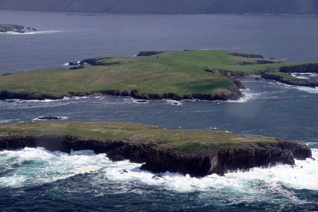
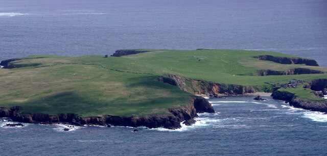
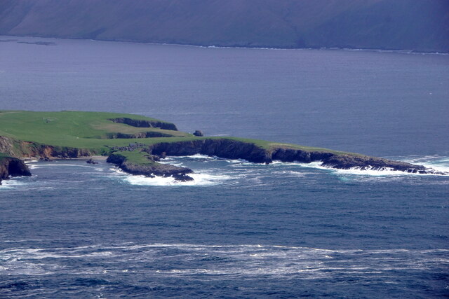
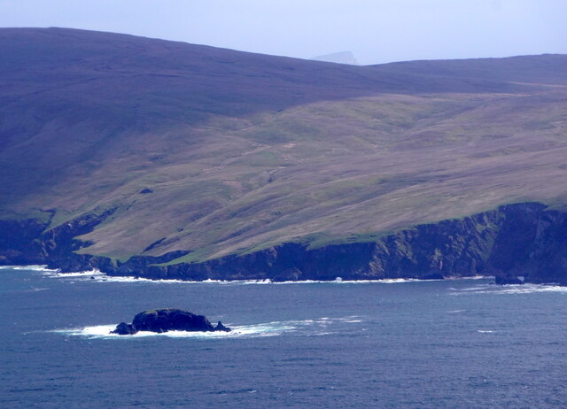
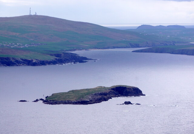
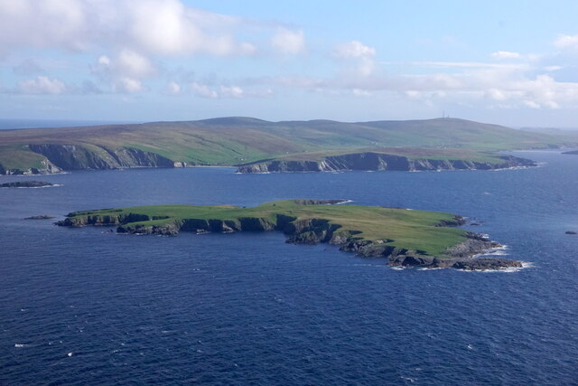
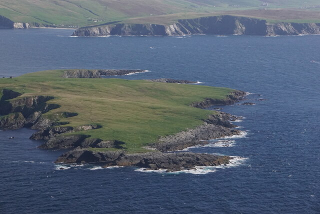
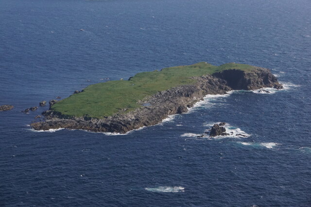
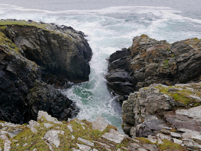
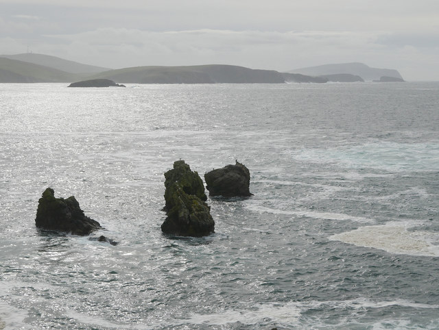
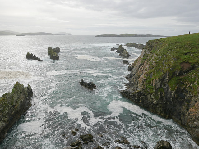
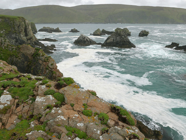
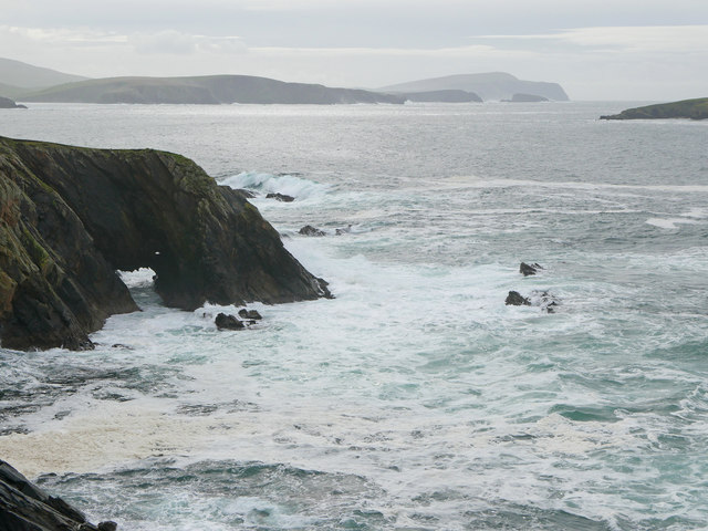
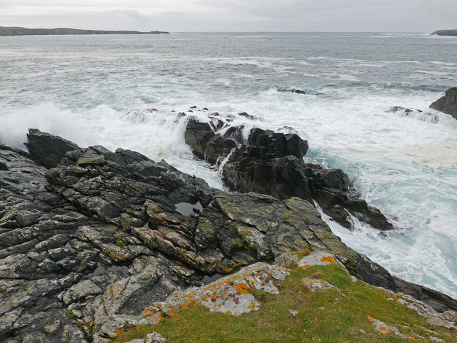
Small Geos is a coastal feature located in the Shetland Islands, an archipelago in Scotland. It is classified as a headland, also referred to as a point, due to its prominent protrusion into the North Sea. Situated on the eastern coast of the main island, known as Mainland, Small Geos offers stunning views of the surrounding landscape and the vast expanse of the ocean.
The headland is characterized by its rugged cliffs, which rise steeply from the sea below. These cliffs are composed of sedimentary rocks, often displaying layers of different colors and textures. The geological formation of Small Geos is believed to have been shaped by the erosive forces of the sea over millions of years, resulting in its distinctive features.
Small Geos is a popular spot for outdoor enthusiasts and nature lovers. The headland serves as a habitat for various bird species, such as puffins, guillemots, and kittiwakes, making it a haven for birdwatching. Additionally, the surrounding coastal waters are home to diverse marine life, including seals and dolphins, which can occasionally be spotted from the cliffs.
Access to Small Geos is relatively easy, with a well-maintained footpath leading visitors to the headland. The path offers panoramic views of the coastline and the neighboring islands, providing ample opportunities for photography and exploration. Visitors are advised to take caution near the cliffs, as they can be hazardous due to their steepness and unstable terrain.
Overall, Small Geos is a captivating coastal feature in the Shetland Islands, offering a blend of natural beauty, wildlife, and recreational opportunities for visitors to enjoy.
If you have any feedback on the listing, please let us know in the comments section below.
Small Geos Images
Images are sourced within 2km of 60.028002/-1.3469267 or Grid Reference HU3627. Thanks to Geograph Open Source API. All images are credited.
Small Geos is located at Grid Ref: HU3627 (Lat: 60.028002, Lng: -1.3469267)
Unitary Authority: Shetland Islands
Police Authority: Highlands and Islands
What 3 Words
///typified.warms.manliness. Near Sandwick, Shetland Islands
Nearby Locations
Related Wikis

South Havra
South Havra (Scots: Sooth Haevra; Old Norse: Hafrey), formerly Hevera, is an uninhabited island in the Scalloway Islands, Shetland, Scotland. == Geography... ==

Little Havra
Little Havra is a small island off the west of South Mainland in Shetland. It is 35 metres (115 ft) at its highest point, upon which there is a cairn....

West Burra
West Burra is one of the Scalloway Islands, a subgroup of the Shetland Islands in Scotland. It is connected by bridge to East Burra. With an area of 743...

Burra, Shetland
Burra (Old Norse: Barrey ) is the collective name for two of the Shetland Islands, West (pop. 753) and East Burra (pop. 66), which are connected by bridge...

Catpund
Catpund is a quarry site in Shetland, Scotland, where steatite vessels were cut from the rock from prehistory onwards. The quarrying marks are still visible...

Hoswick
Hoswick is a settlement in Sandwick in the south mainland of Shetland, Scotland, on the eastern part of the Dunrossness civil parish. It is separated from...

Bigton
Bigton is a small settlement on South Mainland, Shetland, UK. Bigton is within the civil parish of Dunrossness.Bigton lies on the Atlantic coast of the...

South Mainland
The South Mainland of the Shetland Islands is the southern peninsula of Mainland island. It lies south of Hellister (60° 14′N). The greater southern part...
Have you been to Small Geos?
Leave your review of Small Geos below (or comments, questions and feedback).