Dyke-end Geo
Coastal Feature, Headland, Point in Shetland
Scotland
Dyke-end Geo
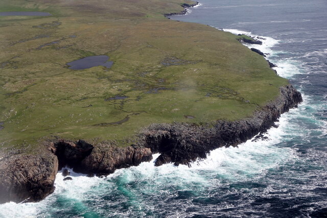
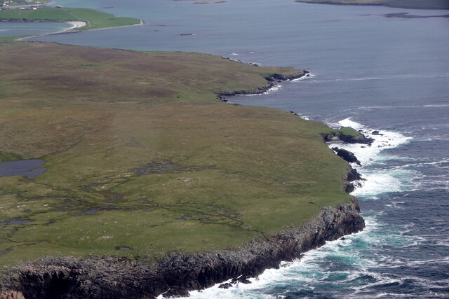
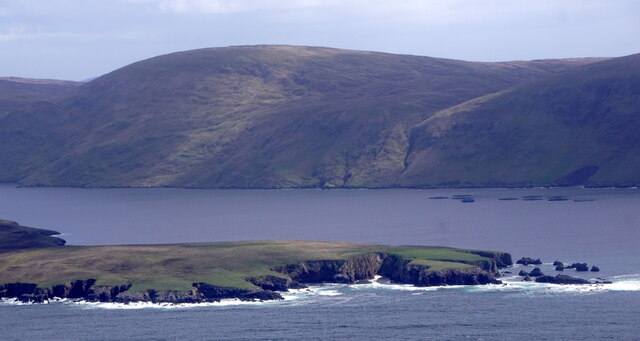
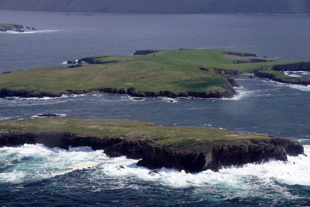
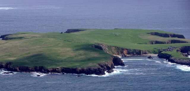
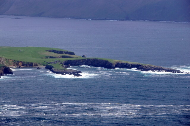
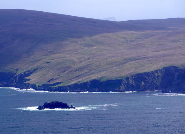
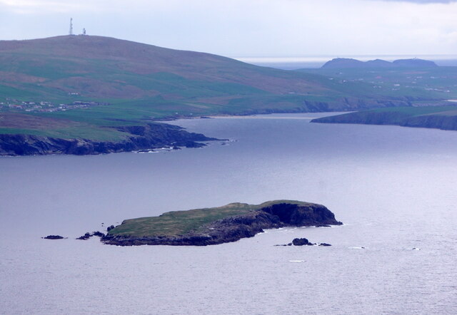
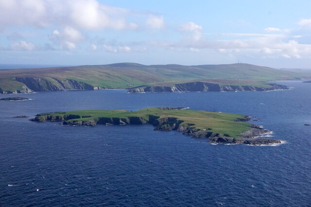
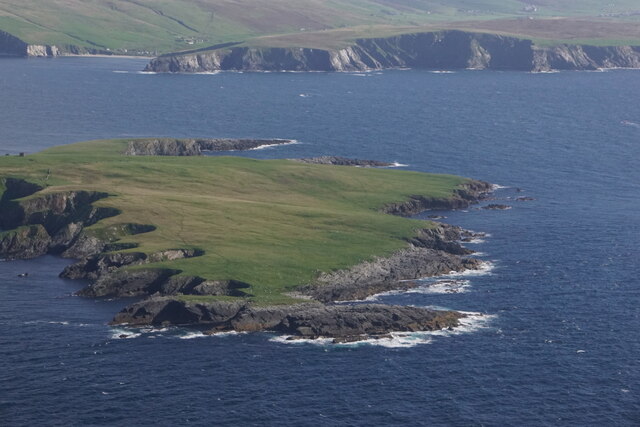
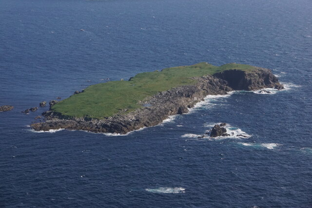
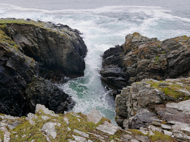
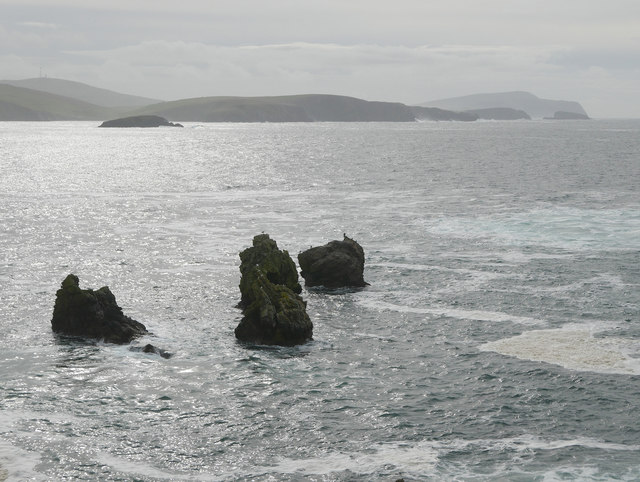
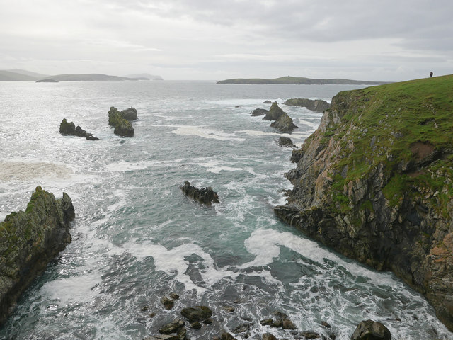
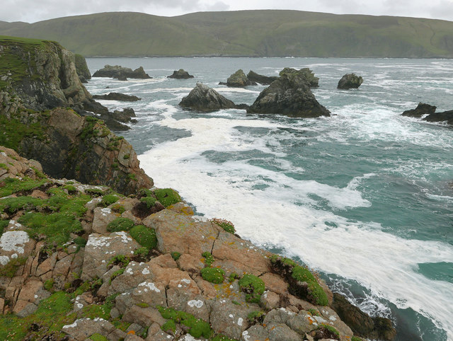
Dyke-end Geo is a coastal feature located in the Shetland Islands, an archipelago situated off the northeastern coast of Scotland. It is specifically found on the island of Mainland, which is the largest and most populated island in the Shetlands. Dyke-end Geo is classified as a headland or point, a prominent and elevated piece of land that extends out into the sea.
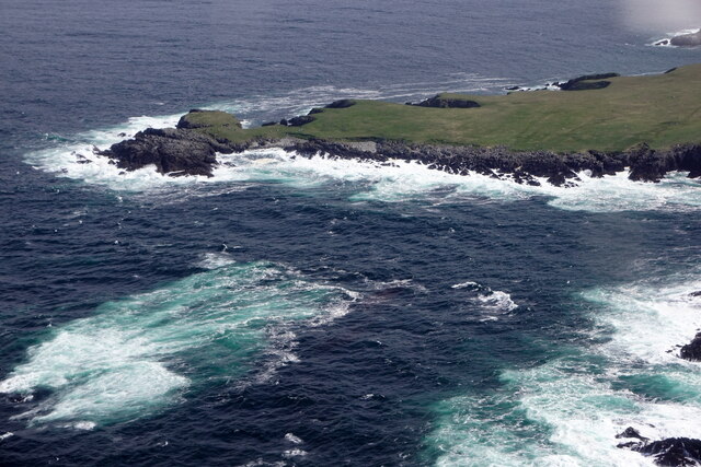
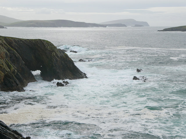
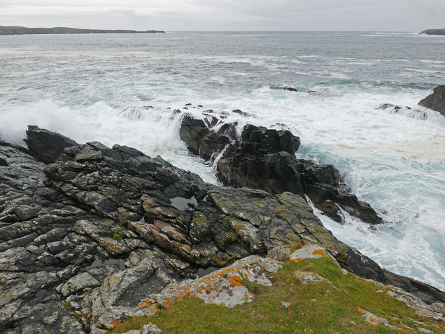
This coastal feature is characterized by its rocky cliffs and steep slopes, which provide a stunning view of the surrounding sea and coastline. The geology of Dyke-end Geo consists primarily of rugged, weathered rocks, formed by the natural processes of erosion and deposition over millions of years. This area is also notable for its diverse wildlife, including various seabirds, seals, and marine life that inhabit the surrounding waters.
Dyke-end Geo is a popular destination for nature enthusiasts, hikers, and photographers due to its dramatic coastal landscape and panoramic vistas. Visitors can explore the headland by following walking trails that wind along the cliffs, offering breathtaking views of the North Sea. The area is also home to several archaeological sites, including ancient burial grounds and ruins, providing insight into the island's rich history.
Overall, Dyke-end Geo is a remarkable coastal feature in the Shetland Islands, offering both natural beauty and historical significance. Its rugged cliffs, diverse wildlife, and archaeological sites make it a must-visit location for those seeking to immerse themselves in the unique landscapes and cultural heritage of the Shetlands.
If you have any feedback on the listing, please let us know in the comments section below.
Dyke-end Geo Images
Images are sourced within 2km of 60.027576/-1.3552249 or Grid Reference HU3627. Thanks to Geograph Open Source API. All images are credited.
Dyke-end Geo is located at Grid Ref: HU3627 (Lat: 60.027576, Lng: -1.3552249)
Unitary Authority: Shetland Islands
Police Authority: Highlands and Islands
What 3 Words
///chosen.mondays.hint. Near Sandwick, Shetland Islands
Nearby Locations
Related Wikis

South Havra
South Havra (Scots: Sooth Haevra; Old Norse: Hafrey), formerly Hevera, is an uninhabited island in the Scalloway Islands, Shetland, Scotland. == Geography... ==

Little Havra
Little Havra is a small island off the west of South Mainland in Shetland. It is 35 metres (115 ft) at its highest point, upon which there is a cairn....

West Burra
West Burra is one of the Scalloway Islands, a subgroup of the Shetland Islands in Scotland. It is connected by bridge to East Burra. With an area of 743...

Burra, Shetland
Burra (Old Norse: Barrey ) is the collective name for two of the Shetland Islands, West (pop. 753) and East Burra (pop. 66), which are connected by bridge...
Have you been to Dyke-end Geo?
Leave your review of Dyke-end Geo below (or comments, questions and feedback).