Sillock Geo
Coastal Feature, Headland, Point in Shetland
Scotland
Sillock Geo
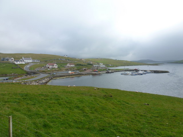
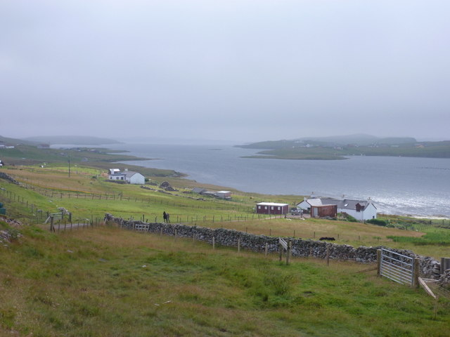
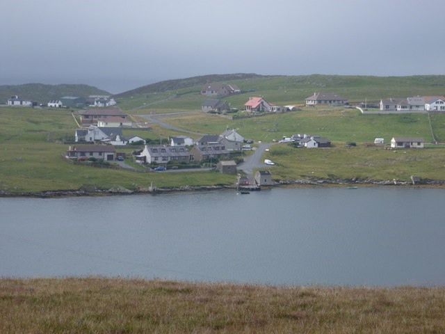
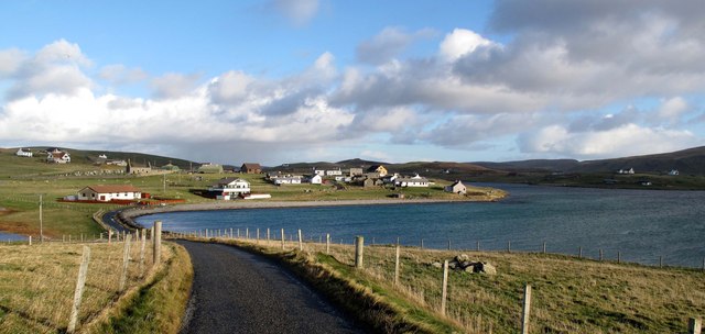
Sillock Geo is a prominent coastal feature located on the western coast of the Shetland Islands, Scotland. It is a headland that stretches out into the North Atlantic Ocean, forming a distinctive point along the rugged coastline. The geo, a term used in Shetland to describe narrow inlets or coves, is named after the nearby Sillock, a small settlement situated a short distance inland.
Sillock Geo is characterized by its sheer cliffs, which rise dramatically from the sea, creating an impressive sight. The cliffs are composed of rugged rocks, displaying various layers of sedimentary formations, providing a glimpse into the geological history of the area. The constant battering of the waves against the cliffs has shaped them into unique formations, with caves and rock arches adding to the beauty and intrigue of the site.
The headland offers breathtaking views of the surrounding ocean, with the wild and untamed beauty of the North Atlantic on full display. Visitors can witness the power of the waves crashing against the cliffs, creating a mesmerizing spectacle. The area is also home to a diverse range of seabirds, including puffins, fulmars, and guillemots, which nest on the cliffs and add to the vibrant ecosystem of Sillock Geo.
Due to its exposed location and the strong currents in the area, Sillock Geo is not easily accessible. However, for those willing to make the journey, it provides a unique opportunity to experience the raw beauty of nature and immerse oneself in the stunning coastal landscape of the Shetland Islands.
If you have any feedback on the listing, please let us know in the comments section below.
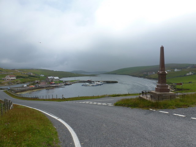
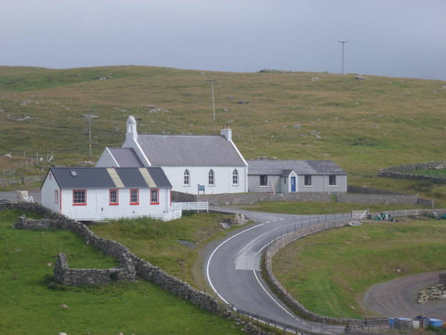
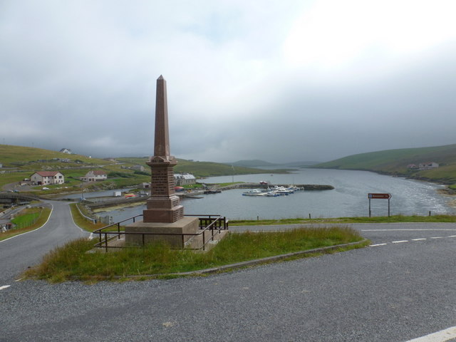
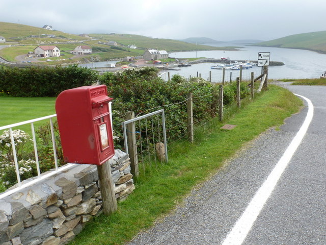
Sillock Geo Images
Images are sourced within 2km of 60.081615/-1.3483475 or Grid Reference HU3633. Thanks to Geograph Open Source API. All images are credited.


Sillock Geo is located at Grid Ref: HU3633 (Lat: 60.081615, Lng: -1.3483475)
Unitary Authority: Shetland Islands
Police Authority: Highlands and Islands
What 3 Words
///octagon.instant.cabin. Near Scalloway, Shetland Islands
Nearby Locations
Related Wikis

Scalloway Islands
The Scalloway Islands are in Shetland opposite Scalloway on south west of the Mainland. They form a mini-archipelago and include: Burra (two islands linked...

West Burra
West Burra is one of the Scalloway Islands, a subgroup of the Shetland Islands in Scotland. It is connected by bridge to East Burra. With an area of 743...

Burra, Shetland
Burra (Old Norse: Barrey ) is the collective name for two of the Shetland Islands, West (pop. 753) and East Burra (pop. 66), which are connected by bridge...
East Burra
East Burra (Scots: East Burra; Old Norse: "Barrey") is one of the Scalloway Islands, a subgroup of the Shetland Islands in Scotland. It is connected by...

Oxna
Oxna is one of the Scalloway Islands, lying north west of Burra in Shetland, Scotland. Oxna has an area of 68 hectares (170 acres). The island has been...

Papa, Shetland
Papa (Scots: Papa; Old Norse: Papey, meaning "the island of the priests") is an uninhabited island in the Scalloway Islands, Shetland, Scotland. Papa lies...

South Mainland
The South Mainland of the Shetland Islands is the southern peninsula of Mainland island. It lies south of Hellister (60° 14′N). The greater southern part...
West Head of Papa
West Head of Papa is a small tidal island off Papa in Shetland, and is one of the Scalloway Islands. It is 21m at its highest point. East Head of Papa...
Nearby Amenities
Located within 500m of 60.081615,-1.3483475Have you been to Sillock Geo?
Leave your review of Sillock Geo below (or comments, questions and feedback).